|
Geology Of New Jersey
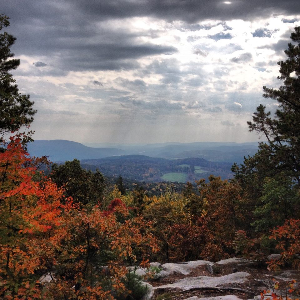
New Jersey is a very geologically and geographically diverse region in the United States' Middle Atlantic region, offering variety from the Appalachian Mountains and the Highlands in the state's northwest, to the Atlantic Coastal Plain region that encompasses both the Pine Barrens and the Jersey Shore. The state's geological features have impacted the course of settlement, development, commerce and industry over the past four centuries. New Jersey has four distinct physiographic provinces. They are: (listed from the south to the north) the Atlantic Coastal Plain Province, the Piedmont Province, the Highlands Province, and the Ridge and Valley Province. Coastal Plain The largest province in the state encompasses the southeast part of the state below the fall zone from Trenton to Carteret. It contains a large wedge of unconsolidated sediments that have been deposited since the Cretaceous Period. These sediments continue off-shore as far as the continental shelf edge in the At ... [...More Info...] [...Related Items...] OR: [Wikipedia] [Google] [Baidu] |
Marshes
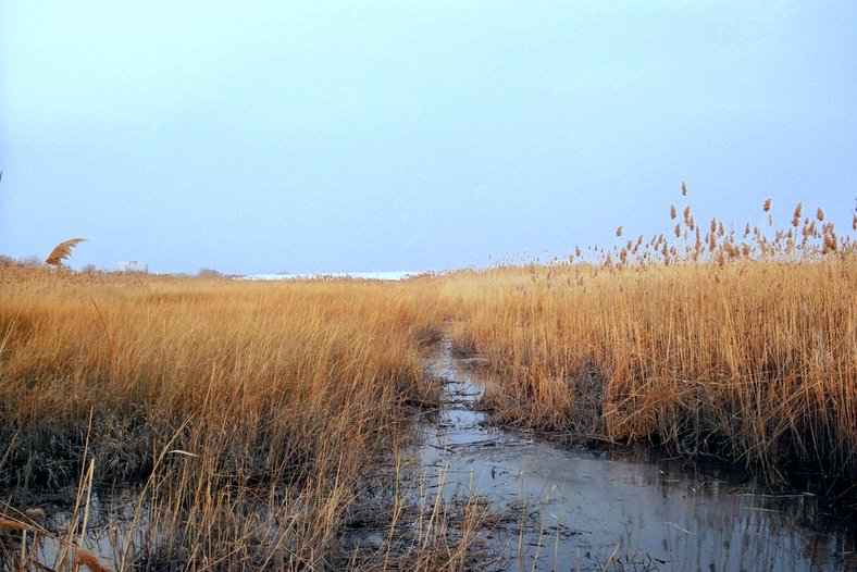
In ecology, a marsh is a wetland that is dominated by herbaceous plants rather than by woody plants.Keddy, P.A. 2010. Wetland Ecology: Principles and Conservation (2nd edition). Cambridge University Press, Cambridge, UK. 497 p More in general, the word can be used for any low-lying and seasonally waterlogged terrain. In Europe and in agricultural literature low-lying meadows that require draining and embanked polderlands are also referred to as marshes or marshland. Marshes can often be found at the edges of lakes and streams, where they form a transition between the aquatic and terrestrial ecosystems. They are often dominated by grasses, rushes or reeds. If woody plants are present they tend to be low-growing shrubs, and the marsh is sometimes called a carr. This form of vegetation is what differentiates marshes from other types of wetland such as swamps, which are dominated by trees, and mires, which are wetlands that have accumulated deposits of acidic peat. Marshes p ... [...More Info...] [...Related Items...] OR: [Wikipedia] [Google] [Baidu] |
Stockton Formation
The Triassic Stockton Formation is a mapped bedrock unit in Pennsylvania, New Jersey, and New York. It is named after Stockton, New Jersey, where it was first described. It is laterally equivalent to the New Oxford Formation in the Gettysburg Basin of Pennsylvania and Maryland.Faill, R.T., (2004). The Birdsboro Basin. ''Pennsylvania Geology'' V. 34 n. 4. Description The Stockton is defined as a light-gray to light brown and yellowish medium to coarse grained sandstone and reddish to purplish-brown siltstone and mudstone with shale interbeds; and interbedded argillite. In New Jersey, feldspar pebbly sandstone and conglomerate, and quartz-pebble conglomerate are also mapped. Depositional environment The Stockton is described as a bajada. The sediments were a result of the rifting of Pangea. The sediments came from the southeast from a largely granitic terrane and spread across an even plain. Interfingered with the Stockton, the Lockatong Formation are lake sediments, which grew d ... [...More Info...] [...Related Items...] OR: [Wikipedia] [Google] [Baidu] |
Lockatong Formation
The Triassic Lockatong Formation is a mapped bedrock unit in Pennsylvania, New Jersey, and New York. It is named after the Lockatong Creek in Hunterdon County, New Jersey. Description The Lockatong is defined as a light to dark gray, greenish-gray, and black very fine grained sandstone, silty argillite, and laminated mudstone. In New Jersey, the cyclic nature of the formation is noted with hornfels near diabase and basalt flows. Depositional environment The Lockatong is often described as lake or litoral sediments. The interfingering nature of the sediments with the surrounding Stockton Formation and Passaic Formation suggests that these litoral environments shifted as climate or as the dynamic terrane of the area developed.Faill, R.T., (2004). The Birdsboro Basin. ''Pennsylvania Geology'' V. 34 n. 4. The deposition of calcitic sediments is indicative of a climate with high evaporation rates. More recent studies suggest that the Lockatong was a highly turbulent environment, ... [...More Info...] [...Related Items...] OR: [Wikipedia] [Google] [Baidu] |
Passaic Formation
The Passaic Formation is a mapped bedrock unit in Pennsylvania, New Jersey, and New York. It was previously known as the Brunswick Formation since it was first described in the vicinity of New Brunswick, New Jersey. It is now named for the city of Passaic, New Jersey, which is near where its type section was described by paleontologist Paul E. Olsen. Description The Passaic is defined as a reddish-brown shale, siltstone and mudstone with a few green and brown shale interbeds; red and dark-gray interbedded argillites near the base. In New Jersey, there are conglomerate and sandstone beds within the formation. Depositional environment The Passaic is mostly shallow lakes, playa, and alluvial fan deposits resulting from the rifting of Pangea. The red color is often evidence that the sediments were deposited in arid conditions.Faill, R.T., (2004). The Birdsboro Basin. ''Pennsylvania Geology'' V. 34 n. 4. The Passaic Formation overlies the Lockatong Formation deep lake sediment cycles ... [...More Info...] [...Related Items...] OR: [Wikipedia] [Google] [Baidu] |
Newark Supergroup
The Newark Supergroup, also known as the Newark Group, is an assemblage of Upper Triassic and Lower Jurassic sedimentary and volcanic rocks which outcrop intermittently along the east coast of North America. They were deposited in a series of Triassic basins, the Eastern North American rift basins, approximately 220–190 million years ago. The basins are characterized as aborted rifts, with half-graben geometry, developing parallel to the main rift of the Atlantic Ocean which formed as North America began to separate from Africa. Exposures of the Newark Supergroup extend from South Carolina north to Nova Scotia. Related basins are also found underwater in the Bay of Fundy. The group is named for the city of Newark, New Jersey. Characteristics The Newark Supergroup consists largely of poorly sorted nonmarine sediments; typical rocks are breccia, conglomerate, arkose sandstone, siltstone, and shale. Most of the strata are red beds that feature ripple marks, mud cracks, and eve ... [...More Info...] [...Related Items...] OR: [Wikipedia] [Google] [Baidu] |
Freehold Township, New Jersey
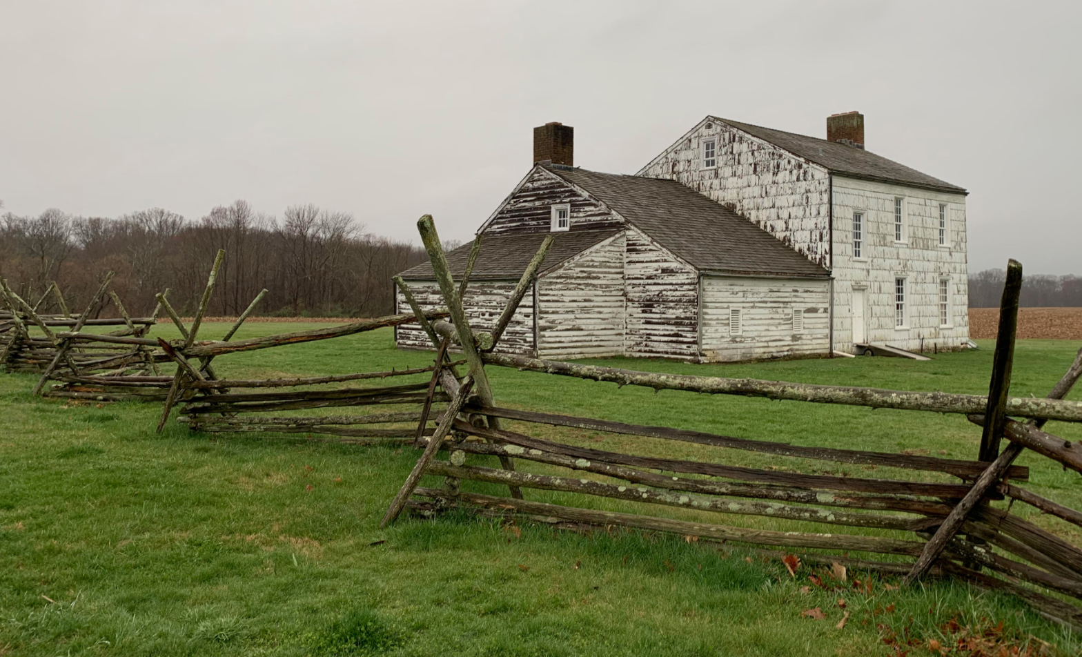
Freehold Township is a township in western Monmouth County, in the U.S. state of New Jersey. Crisscrossed by several major highways, the township is a commercial hub for Central New Jersey (home to the Freehold Raceway and Freehold Raceway Mall) and is a suburban bedroom community of New York City, located within the Raritan Valley region of the much larger New York metropolitan area.Fowler, Glen"In Monmouth, Homes Still Rise, Defying Lag: Freehold, N.J.", ''The New York Times'', April 19, 1970. Accessed June 14, 2022. The township is located roughly away from Manhattan and about away from Staten Island. As of the 2020 United States census, the township's population was 35,369, a decrease of 815 (−2.3%) from the 36,184 recorded at the 2010 census, which in turn reflected an increase of 4,647 (+14.7%) from the 31,537 counted in the 2000 census. Freehold Township was first formed on October 31, 1693, and was incorporated as a township by an act of the New Jersey Legisla ... [...More Info...] [...Related Items...] OR: [Wikipedia] [Google] [Baidu] |
Glauconite
Glauconite is an iron potassium phyllosilicate ( mica group) mineral of characteristic green color which is very friable and has very low weathering resistance. It crystallizes with a monoclinic geometry. Its name is derived from the Greek () meaning 'bluish green', referring to the common blue-green color of the mineral; its sheen ( mica glimmer) and blue-green color. Its color ranges from olive green, black green to bluish green, and yellowish on exposed surfaces due to oxidation. In the Mohs scale it has a hardness of 2, roughly the same as gypsum. The relative specific gravity range is 2.4–2.95. It is normally found as dark green rounded concretions with the dimensions of a sand grain. It can be confused with chlorite (also of green color) or with a clay mineral. Glauconite has the chemical formula . Glauconite particles are one of the main components of greensand, glauconitic siltstone and glauconitic sandstone. Glauconite has been called a marl in an old and br ... [...More Info...] [...Related Items...] OR: [Wikipedia] [Google] [Baidu] |
Fort Dix
Fort Dix, the common name for the Army Support Activity (ASA) located at Joint Base McGuire–Dix–Lakehurst, is a United States Army post. It is located south-southeast of Trenton, New Jersey. Fort Dix is under the jurisdiction of the Air Force Air Mobility Command. As of the 2020 U.S. census, Fort Dix census-designated place (CDP) had a total population of 7,716,DP-1 - Profile of General Population and Housing Characteristics: 2010 Demographic Profile Data for Fort Dix CDP, New Jersey , . Accessed 17 June 2013. [...More Info...] [...Related Items...] OR: [Wikipedia] [Google] [Baidu] |
New Jersey Pine Barrens
The New Jersey Pine Barrens, also known as the Pinelands or simply the Pines, is the largest remaining example of the Atlantic coastal pine barrens ecosystem, stretching across more than seven counties of New Jersey. Two other large, contiguous examples of this ecosystem remain in the northeastern United States: the Long Island Central Pine Barrens and the Massachusetts Coastal Pine Barrens. The name pine barrens refers to the area's sandy, acidic, nutrient-poor soil. Although European settlers could not cultivate their familiar crops there, the unique ecology of the Pine Barrens supports a diverse spectrum of plant life, including orchids and carnivorous plants. The area is also notable for its populations of rare pygmy pitch pines and other plant species that depend on the frequent fires of the Pine Barrens to reproduce. The sand that composes much of the area's soil is referred to by the locals as sugar sand. The Pine Barrens remains mostly rural and undisturbed despite i ... [...More Info...] [...Related Items...] OR: [Wikipedia] [Google] [Baidu] |
Foundry
A foundry is a factory that produces metal castings. Metals are cast into shapes by melting them into a liquid, pouring the metal into a mold, and removing the mold material after the metal has solidified as it cools. The most common metals processed are aluminum and cast iron. However, other metals, such as bronze, brass, steel, magnesium, and zinc, are also used to produce castings in foundries. In this process, parts of desired shapes and sizes can be formed. Foundries are one of the largest contributors to the manufacturing recycling movement, melting and recasting millions of tons of scrap metal every year to create new durable goods. Moreover, many foundries use sand in their molding process. These foundries often use, recondition, and reuse sand, which is another form of recycling. Process In metalworking, casting involves pouring liquid metal into a mold, which contains a hollow cavity of the desired shape, and then allowing it to cool and solidify. The solidified pa ... [...More Info...] [...Related Items...] OR: [Wikipedia] [Google] [Baidu] |
Delaware River
The Delaware River is a major river in the Mid-Atlantic region of the United States and is the longest free-flowing (undammed) river in the Eastern United States. From the meeting of its branches in Hancock, New York, the river flows for along the borders of New York, Pennsylvania, New Jersey, and Delaware, before emptying into Delaware Bay. The river has been recognized by the National Wildlife Federation as one of the country's Great Waters and has been called the "Lifeblood of the Northeast" by American Rivers. Its watershed drains an area of and provides drinking water for 17 million people, including half of New York City via the Delaware Aqueduct. The Delaware River has two branches that rise in the Catskill Mountains of New York: the West Branch at Mount Jefferson in Jefferson, Schoharie County, and the East Branch at Grand Gorge, Delaware County. The branches merge to form the main Delaware River at Hancock, New York. Flowing south, the river re ... [...More Info...] [...Related Items...] OR: [Wikipedia] [Google] [Baidu] |


