|
Fizi Territory
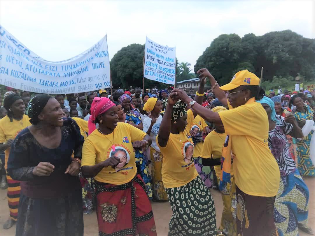
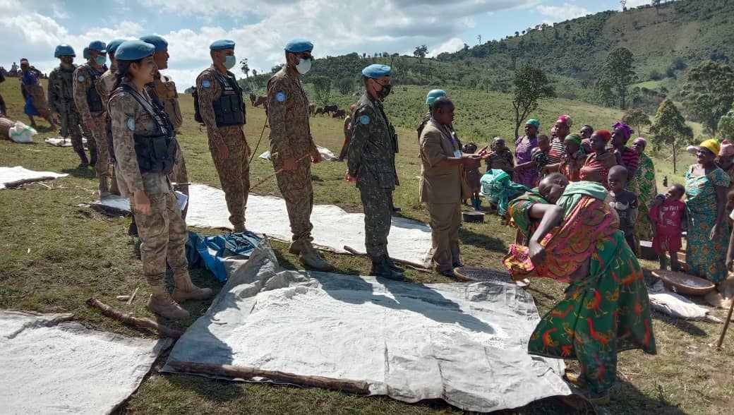
Fizi Territory is a territory located in the southern part of South Kivu Province, in the eastern region of the Democratic Republic of the Congo. It spans an area of approximately 15,864 square kilometers and shares borders with Uvira Territory to the north, Mwenga and Shabunda territories to the west, Kalemie Territory of Tanganyika Province to the south, and Lake Tanganyika to the east, beyond the Ubwari Peninsula. The territory is predominantly inhabited by the Bembe people, although it is characterized by considerable ethnocultural diversity. Smaller ethnic communities such as the Babuyu, Babwari, and Bazoba also reside in various villages throughout the territory. Administratively, Fizi Territory is subdivided into four sectors: Lulenge, Mutambala, Ngandja, and Tanganyika. Its economy is primarily driven by agriculture, fishing, livestock farming, and artisanal mineral extraction. Geography Terrain and climate Fizi Territory landscape is dominated by mountaino ... [...More Info...] [...Related Items...] OR: [Wikipedia] [Google] [Baidu] |
Territories Of The Democratic Republic Of The Congo
The territories of the Democratic Republic of the Congo are administrative divisions of Provinces of the Democratic Republic of the Congo, provinces. Territories are further divided into Sectors of the Democratic Republic of the Congo, sectors, Chiefdoms of the Democratic Republic of the Congo, chiefdoms, and Communes of the Democratic Republic of the Congo, communes. They are led by an administrator and, for the most part, take the name of the town that is their administrative center. Overview The 25 provinces of DR Congo are divided into 145 territories (fr. ''territoires'', sing. ''territoire'') and 33 Cities of the Democratic Republic of the Congo, cities (fr. ''villes'', sing. ''ville''). Each provincial division is also a constituency of the National Assembly of the Democratic Republic of the Congo, National Assembly as well as of the Provincial Assembly of its province. Each territory is led by a territory administrator (fr. ''administrateur de territoire'') assisted ... [...More Info...] [...Related Items...] OR: [Wikipedia] [Google] [Baidu] |
Bembe People
The Bembe people (Babembe in the plural) are an ethnic group based in the eastern Democratic Republic of the Congo and western Kigoma Region of Tanzania. They live mainly in the territory of Fizi in South Kivu. The Bembe are also in the province of Tanganyika in the city of Kalemie. In 1991, the Bembe population of the DRC was estimated to number 252,000 and around 1.5 million in 2005. They are representative of many ethnic traditions, including pre- Lega, Boyo- Kunda, Hemba and Bemba. Cultural traditions A semi-nomadic people, who often settled in forest environments. The women cultivated the crops and the men hunted, fished and other entrepreneurship business. Music The babembe people traditionally play drums in their folk music. The way the drum is played can be called a six-beat tune. The music is played in celebration of any sort. The music is accompanied by the folk dance. The dance utilizes movements of the shoulder and waist. It is referred to as Esuba. Folk mus ... [...More Info...] [...Related Items...] OR: [Wikipedia] [Google] [Baidu] |
Mitumba Mountains
The Mitumba Mountains stretch along the Western Rift Valley in Eastern Congo (DRC), west of Lake Tanganyika and Lake Kivu. The two main peaks, Mount Kahuzi (3,308 m) and Mount Biéga (2,790 m) are dormant volcanoes. The northern portion of the range is also known as the Itombwe Mountains or Itombwe Plateau.Moeyersons, Jan & Trefois, Philippe & Nahimana, Louis & Ilunga, L. & Vandecasteele, Ine & Byizigiro, Rutazuyaza Vaillant & Sadiki, S.. (2009). River and landslide dynamics on the western Tanganyika rift border, Uvira, D.R. Congo: Diachronic observations and a GIS inventory of traces of extreme geomorphologic activity. Natural Hazards. 53. 291-311. 10.1007/s11069-009-9430-z. Ecology Most of the mountain range is in the Albertine Rift montane forests ecoregion. At lower elevations, the montane forests transition to lowland rain forests at the northern end of the range, to forest–savanna mosaic in the central portion of the range, and miombo woodlands to the so ... [...More Info...] [...Related Items...] OR: [Wikipedia] [Google] [Baidu] |
Coastal Plain
A coastal plain (also coastal plains, coastal lowland, coastal lowlands) is an area of flat, low-lying land adjacent to a sea coast. A fall line commonly marks the border between a coastal plain and an upland area. Formation Coastal plains can form in one of two ways; some begin as a continental shelf, a flat piece of land located below sea level, and are created when the ocean level falls, exposing the land. Others develop when river currents carry sediment into the ocean, which is deposited and builds up over time until it forms a coastal plain. They are generally separated from the rest of the interior by proximate landforms, like mountains. Locations Some of the largest coastal plains are in Alaska and the southeastern United States. The Gulf Coastal Plain of North America extends northwards from the Gulf of Mexico along the Lower Mississippi River to the Ohio River, which is a distance of about . The Atlantic Coastal Plain runs from the New York Bight to Florida. The C ... [...More Info...] [...Related Items...] OR: [Wikipedia] [Google] [Baidu] |
Livestock
Livestock are the Domestication, domesticated animals that are raised in an Agriculture, agricultural setting to provide labour and produce diversified products for consumption such as meat, Egg as food, eggs, milk, fur, leather, and wool. The term is sometimes used to refer solely to animals which are raised for consumption, and sometimes used to refer solely to farmed ruminants, such as cattle, sheep, and goats. The breeding, maintenance, slaughter and general subjugation of livestock called ''animal husbandry'', is a part of modern agriculture and has been practiced in many cultures since humanity's transition to farming from hunter-gatherer lifestyles. Animal husbandry practices have varied widely across cultures and periods. It continues to play a major economic and cultural role in numerous communities. Livestock farming practices have largely shifted to intensive animal farming. Intensive animal farming increases the yield of the various commercial outputs, but also nega ... [...More Info...] [...Related Items...] OR: [Wikipedia] [Google] [Baidu] |
Fishing
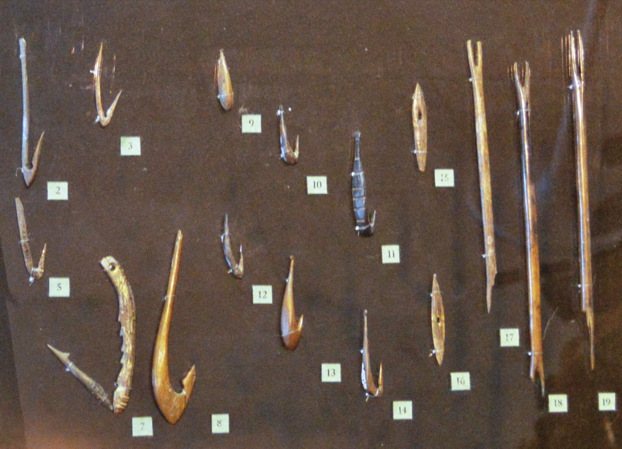
Fishing is the activity of trying to catch fish. Fish are often caught as wildlife from the natural environment (Freshwater ecosystem, freshwater or Marine ecosystem, marine), but may also be caught from Fish stocking, stocked Body of water, bodies of water such as Fish pond, ponds, canals, park wetlands and reservoirs. Fishing techniques include trawling, Longline fishing, longlining, jigging, Fishing techniques#Hand-gathering, hand-gathering, Spearfishing, spearing, Fishing net, netting, angling, Bowfishing, shooting and Fish trap, trapping, as well as Destructive fishing practices, more destructive and often Illegal, unreported and unregulated fishing, illegal techniques such as Electrofishing, electrocution, Blast fishing, blasting and Cyanide fishing, poisoning. The term fishing broadly includes catching aquatic animals other than fish, such as crustaceans (shrimp/lobsters/crabs), shellfish, cephalopods (octopus/squid) and echinoderms (starfish/sea urchins). The term is n ... [...More Info...] [...Related Items...] OR: [Wikipedia] [Google] [Baidu] |
Agriculture
Agriculture encompasses crop and livestock production, aquaculture, and forestry for food and non-food products. Agriculture was a key factor in the rise of sedentary human civilization, whereby farming of domesticated species created food surpluses that enabled people to live in the cities. While humans started gathering grains at least 105,000 years ago, nascent farmers only began planting them around 11,500 years ago. Sheep, goats, pigs, and cattle were domesticated around 10,000 years ago. Plants were independently cultivated in at least 11 regions of the world. In the 20th century, industrial agriculture based on large-scale monocultures came to dominate agricultural output. , small farms produce about one-third of the world's food, but large farms are prevalent. The largest 1% of farms in the world are greater than and operate more than 70% of the world's farmland. Nearly 40% of agricultural land is found on farms larger than . However, five of every six farm ... [...More Info...] [...Related Items...] OR: [Wikipedia] [Google] [Baidu] |
University Of Kisangani
The University of Kisangani (UNIKIS) is located in the city of Kisangani in the Democratic Republic of the Congo. It was founded in 1963 by Protestant missionaries as the Free University of the Congo (, ULC); it was transformed into part of the National University of Zaire in 1971, and in 1981 was separated from that National University, along with the University of Kinshasa and the University of Lubumbashi, assuming its present identity as the University of Kisangani. Its president is Professor Dr. Toengaho Lokundo. History The University of Kisangani was founded in 1963, by the Congo Protestant Council, a coalition of Protestant churches operating in the Congo. The university's original name was the Free University of the Congo, and began with 50 students and six full-time professors. Early critics accused the founders, a small group of American Protestant missionaries, of trying to create a counterweight to Belgian and Catholic Church influence in the new country. The univer ... [...More Info...] [...Related Items...] OR: [Wikipedia] [Google] [Baidu] |
Tangani'a
Tanganyika is one of the four Chiefdoms and sectors of the Democratic Republic of the Congo, sectors of Fizi Territory in South Kivu, South Kivu Province, located in the eastern region of the Democratic Republic of the Congo. Spanning approximately 2,100 square kilometers, it ranks as the third-largest sector in the territory, following Lulenge. The sector derives its name from Lake Tanganyika, which borders it to the east and forms a Natural border, natural boundary with Burundi. The name "''Tanganyika''" is rendered ''Tangani'a'' in Bembe language (Ibembe), Kibembe, a language spoken in the region. Tanganyika occupies the northeastern extremity of Fizi Territory. It is bordered to the north by the Ambaulu River, separating it from the Bavira Chiefdom in Uvira Territory; to the southeast by the Lweba River, which divides it from Mutambala; and to the southwest by Lulenge and Itombwe of neighboring Mwenga Territory. As of 2014, the sector had an estimated population of 284,916. It ... [...More Info...] [...Related Items...] OR: [Wikipedia] [Google] [Baidu] |
Mutambala
Mutambala (or M'tambala) is a sector that constitutes one of the four sectors in the Fizi Territory of the South Kivu Province in the eastern part of the Democratic Republic of the Congo. Mutambala is situated near Lake Tanganyika, in the west by the Lulenge sector, in the north by the Tanganyika sector, and in the south by the Ngandja sector. It has a surface area of 776 km 2. The sector consists of five groupings (''groupements''), including Basimukindje (in the center), Batombwe (in the south), and Babwari (in the east). Agriculture is a significant economic activity in the region; it is revenue-generating for farmers. It is geared towards self-sufficiency but also generates profit through SOCODEFI, an agricultural organization that sells cassava to Baraka. Local food crops include cassava, palm oil, rice, maize, beans, banana, tomato, yam, peanut, sweet potato and sugarcane. In addition to agriculture, fishing constitutes another important source of income in the secto ... [...More Info...] [...Related Items...] OR: [Wikipedia] [Google] [Baidu] |
Lulenge
Lulenge constitutes one of the four Sectors of the Democratic Republic of the Congo, sectors within the Fizi Territory of South Kivu, South Kivu Province, situated in the eastern region of the Democratic Republic of the Congo. It spans an area of approximately 5,530 square kilometers, making it the second-largest sector in the territory after Ngandja. As of 2014, Lulenge had a population of 187,806, with its administrative center based in Kilembwe. The sector shares borders with several neighboring administrative units: Ngandja to the east, Wakabongo Chiefdom in Shabunda Territory to the west, Itombwe sector of Mwenga Territory to the north, Babuyu and Babangubangu Salamabila sectors of Kabambare Territory to the south and southwest, Mutambala and Tangani'a, Tanganyika sectors to the northeast, and Wamuzimu Chiefdom of Mwenga Territory to the northwest. Administratively, Lulenge is divided into five ''Chiefdoms and sectors of the Democratic Republic of the Congo, groupements'': Ba ... [...More Info...] [...Related Items...] OR: [Wikipedia] [Google] [Baidu] |
Chiefdoms And Sectors Of The Democratic Republic Of The Congo
In the Democratic Republic of the Congo, chiefdoms (fr. ''chefferies'') and sectors (fr. ''secteurs'') are rural administrative divisions of territories of the Democratic Republic of the Congo, territories (fr. ''territoires''). They are further subdivided into groupings (fr. ''groupements'') which themselves are divided into villages. Chiefdoms and groupings are led by traditional leaders officially recognized by the government, whereas sector chiefs are appointed directly by the government. List of chiefdoms and sectors According to the Independent National Electoral Commission (Democratic Republic of the Congo), Independent National Electoral Commission (CENI), as of 2018 there are a total of 734 chiefdoms and sectors. Other sources give 735 in 2017 and 737 for 2020. References External links * {{DRC topics Chiefdoms and sectors of the Democratic Republic of the Congo, Subdivisions of the Democratic Republic of the Congo Administrative divisions in Africa, Congo, ... [...More Info...] [...Related Items...] OR: [Wikipedia] [Google] [Baidu] |


