|
Earthenware Ceramics In The Philippines
Philippine ceramics are mostly earthenware, pottery that has not been fired to the point of vitrification. Other types of pottery like tradeware and stoneware have been fired at high enough temperatures to vitrify. Earthenware Ceramics in the Philippines are mainly differentiated from Tradeware and stonewares by the materials used during the process and the temperature at which they are fired. Additionally, earthenware and stoneware pottery can generally be referred to as ceramics that are made with local materials, while tradeware ceramics can generally be referred to as ceramics that are made with non-local materials. Functions Earthenware ceramics had many different functions in the Philippines. In regards, to where it was produced it seems to have been in a domestic scenario. Most of the functions can be seen as utilitarian or ritualistic. According to Alice Yao, one of the main functions of earthenware was in feasting, meaning that the earthenware was mostly cooking pots, bow ... [...More Info...] [...Related Items...] OR: [Wikipedia] [Google] [Baidu] |
Philippine Ceramics
Philippine ceramics refers to ceramic art and pottery designed or produced as a form of Philippine art. History Traditional pot-making in certain areas of the Philippines would use clay found near the Sibalom River. Molding the clay required the use of wooden paddles, and the clay had to be kept away from sunlight. Native Filipinos created pottery since 3500 years ago. They used these ceramic jars to hold the deceased. Other pottery used to hold remains of the deceased were decorated with anthropomorphic designs. These anthropomorphic earthenware pots date back to 5 BC. - 225 A.D and had pot covers shaped like human heads. Filipino pottery had other uses as well. During the Neolithic period of the Philippines, pottery was made for water vessels, plates, cups, and for many other uses. Kalinga Pottery Ceramic vessels of Kalinga are divided into three types: rice cooking (ittoyom), vegetable/meat cooking (oppaya), and water storage (immosso) pots. According to Skibo, th ... [...More Info...] [...Related Items...] OR: [Wikipedia] [Google] [Baidu] |
Babuyan Island
Babuyan Island (sometimes called Babuyan Claro or ''Curuga Mabuyan'', the clear-sighted) is the highest and northernmost island in the Babuyan Islands in Luzon Strait north of Luzon Island in the Philippines and also directly south of Taiwan via Bashi Channel to Luzon Strait. The whole island makes up the barangay of ''Babuyan Claro'', that constitute the municipality of Calayan in Cagayan province. The volcanic island has a population of 1,910 as of the 2020 census, up from 1,423 in 2010. History The language of Babuyan Island is sometimes classified as a dialect of Ivatan. Babuyan was depopulated by the Spanish and only repopulated at the end of the 19th century with families from Batan Island, most of them speakers of one of the Ivatan dialects. Geography Babuyan Island lies about south-southwestward of Balintang Islands, and about northward of Cape Engaño Lighthouse. The nearly triangular island is about long in a northeast and southwest direction, with an aver ... [...More Info...] [...Related Items...] OR: [Wikipedia] [Google] [Baidu] |
Laguna (province)
Laguna, officially the Province of Laguna ( fil, Lalawigan ng Laguna), is a Provinces of the Philippines, province in the Philippines located in the Calabarzon Regions of the Philippines, region in Luzon. Its capital is Santa Cruz, Laguna, Santa Cruz while its largest city is the Calamba, Laguna, City of Calamba and the province is situated southeast of Metro Manila, south of the province of Rizal, west of Quezon, north of Batangas and east of Cavite. Laguna hugs the southern shores of Laguna de Bay, the largest lake in the country. As of the 2020 census, the province's total population is 3,382,193. It is the seventh richest province in the country. Laguna is notable as the birthplace of José Rizal, the country's ''de facto'' national hero. It has numerous natural and cultural attractions such as Pagsanjan Falls, the University of the Philippines Los Baños and the University of the Philippines Open University in Los Baños, Laguna, Los Baños, the hot spring resorts of Calamb ... [...More Info...] [...Related Items...] OR: [Wikipedia] [Google] [Baidu] |
Cavite
Cavite, officially the Province of Cavite ( tl, Lalawigan ng Kabite; Chavacano: ''Provincia de Cavite''), is a province in the Philippines located in the Calabarzon region in Luzon. Located on the southern shores of Manila Bay and southwest of Manila, it is one of the most industrialized and fastest-growing provinces in the Philippines. As of 2020, it has a population of 4,344,829, making it the most populated province in the country if the independent cities of Cebu are excluded from Cebu's population figure. The ''de facto'' capital and seat of the government of the province is Trece Martires, although Imus is the official (''de jure'') capital while the City of Dasmariñas is the largest city in the province. For over 300 years, the province played an important role in both the country's colonial past and eventual fight for independence, earning it the title "Historical Capital of the Philippines". It became the cradle of the Philippine Revolution, which led to the ren ... [...More Info...] [...Related Items...] OR: [Wikipedia] [Google] [Baidu] |
Calabarzon
Calabarzon (), formally known as the Southern Tagalog Mainland, is an administrative region in the Philippines, designated as Region IV-A. The region comprises five provinces: Batangas, Cavite, Laguna, Quezon, and Rizal; and one highly urbanized city, Lucena. The region is the most populous region in the Philippines according to the Philippine Statistics Authority, having over 14.4 million inhabitants in 2020, and is also the country's second most densely populated after the National Capital Region. The region is situated southeast of Metro Manila, and is bordered by the Manila Bay to the west, Lamon Bay and the Bicol Region to the east, the Tayabas Bay and Sibuyan Sea to the south, and Central Luzon to the north. It is home to places like Mount Makiling near Los Baños, Laguna, and the Taal Volcano in Batangas. Prior to its creation as a region, Calabarzon, together with the Mimaropa region, the province of Aurora and several parts of Metro Manila, formed the histor ... [...More Info...] [...Related Items...] OR: [Wikipedia] [Google] [Baidu] |
Batangas
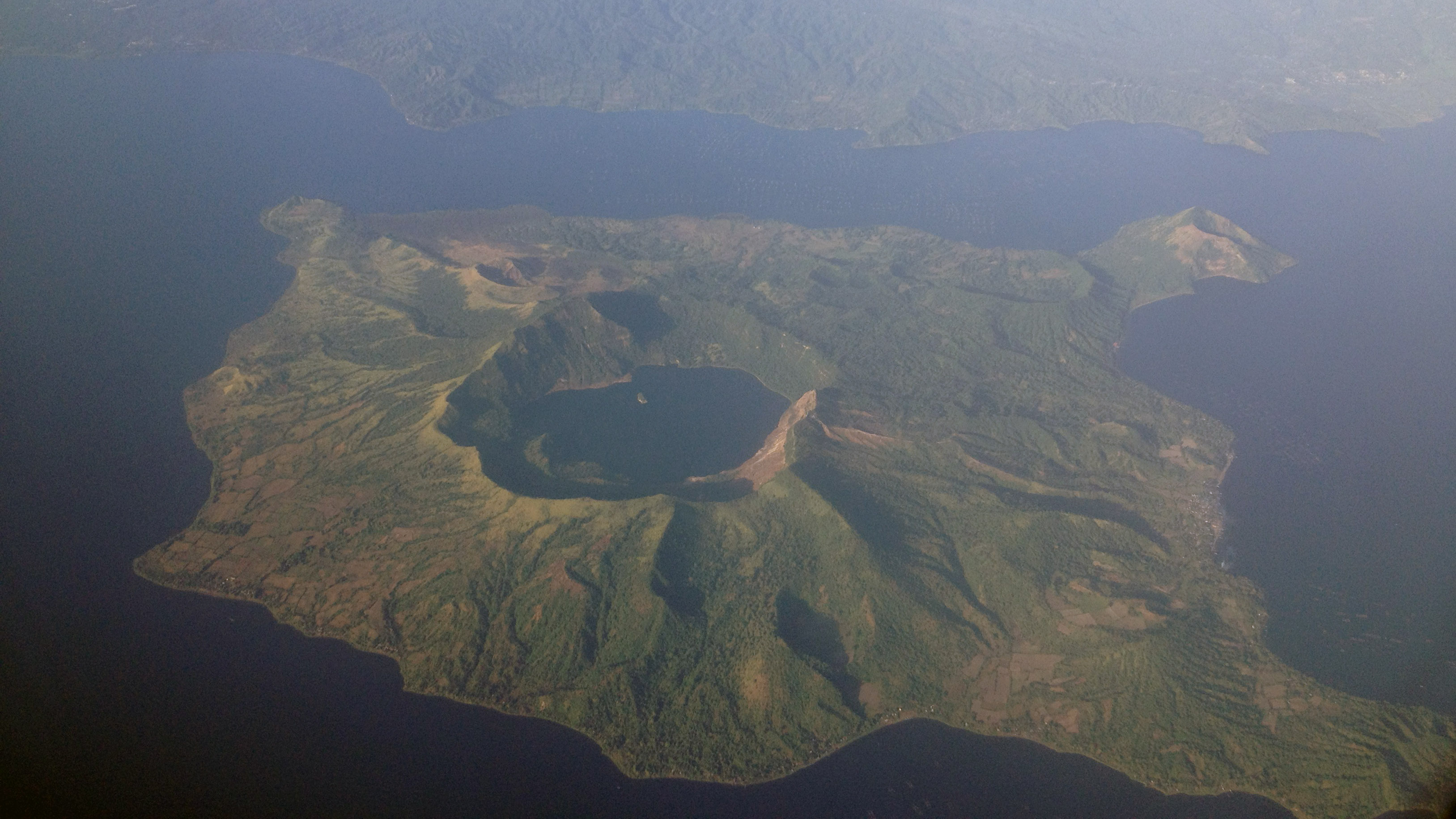
Batangas, officially the Province of Batangas ( tl, Lalawigan ng Batangas ), is a province in the Philippines located in the Calabarzon region on Luzon. Its capital is the city of Batangas, and is bordered by the provinces of Cavite and Laguna to the north, and Quezon to the east. Across the Verde Island Passages to the south is the island of Mindoro and to the west lies the South China Sea. Poetically, Batangas is often referred to by its ancient name Kumintáng. Batangas is one of the most popular tourist destinations near Metro Manila. It is home to the well-known Taal Volcano, one of the Decade Volcanoes, and Taal Heritage town, a small town that has ancestral houses and structures dating back to the 19th century. The province also has numerous beaches and diving spots including Anilao in Mabini, Sombrero Island in Tingloy, Ligpo Island and Sampaguita Beach in Bauan, Matabungkay in Lian, Punta Fuego in Nasugbu, Calatagan and Laiya in San Juan. All of the m ... [...More Info...] [...Related Items...] OR: [Wikipedia] [Google] [Baidu] |
Apayao
Apayao, officially the Province of Apayao ( ilo, Probinsia ti Apayao; fil, Lalawigan ng Apayao), is a landlocked province in the Philippines in the Cordillera Administrative Region in Luzon. Kabugao serves as its capital. The provincial capitol and its associated offices are located at the New Government Center in Luna. The province borders Cagayan to the north and east, Abra and Ilocos Norte to the west, and Kalinga to the south. Prior to 1995, Kalinga and Apayao comprised a single province named '' Kalinga-Apayao'', which was partitioned to better service the needs of individual ethnic groups. With a population of 124,366 (as of the 2020 census) covering an area of , Apayao is the least densely-populated province in the Philippines. History By 20th century, Apayao is predominated by the Isneg people. They are located primarily in the highland municipalities of Kabugao and Calanasan. Majority of them live in scattered settlements along the upper reaches of the Apay ... [...More Info...] [...Related Items...] OR: [Wikipedia] [Google] [Baidu] |
Isabela (province)
; gad, Probinsia na Isabela; tl, Lalawigan ng Isabela) , settlement_type = , image_skyline = , image_caption = (from top: left to right) Pacific coast in Dinapigue, Sierra Madre Mountains, Magat Dam, Cagayan River in Jones, Aerial view of Divilacan and Cabigan Church Ruins in San Pablo. , image_flag = Flag of Isabela (province).svg , flag_size = 120x80px , image_seal = Official Seal of Isabela.svg , seal_size = 100x80px , nickname = , motto = , image_map = , map_alt = , map_caption = Location in the Philippines , coordinates = , subdivision_type = Country , subdivision_name = , subdivision_type1 = Region , subdivision_name1 = , established_title = Founded , established_date = May 01, 1856 , seat_type = Cap ... [...More Info...] [...Related Items...] OR: [Wikipedia] [Google] [Baidu] |
Abra (province)
Abra, officially the Province of Abra ( ilo, Probinsia ti Abra; tl, Lalawigan ng Abra), is a 3rd class province in the Cordillera Administrative Region of the Philippines. Its capital is the municipality of Bangued. It is bordered by Ilocos Norte on the northwest, Apayao on the northeast, Kalinga on the mid-east, Mountain Province on the southeast, and Ilocos Sur on the southwest. Etymology Abra is from the Spanish word ''abre'' meaning gorge, pass, breach or opening. It was first used by the Spaniards to denote the region above the Banaoang Gap where the Abra River exits into the West Philippine Sea, thus the Rio Grande de Abra. History Pre-colonial period The first inhabitants of Abra were the ancestors of the Bontocs and the Ifugaos. These inhabitants eventually left to settle in the old Mountain Province. Other early inhabitants were the Tingguians or Itnegs. Spanish era In 1585 the Tingguians were mentioned for the first time in a letter from Father Domingo d ... [...More Info...] [...Related Items...] OR: [Wikipedia] [Google] [Baidu] |
Mountain Province
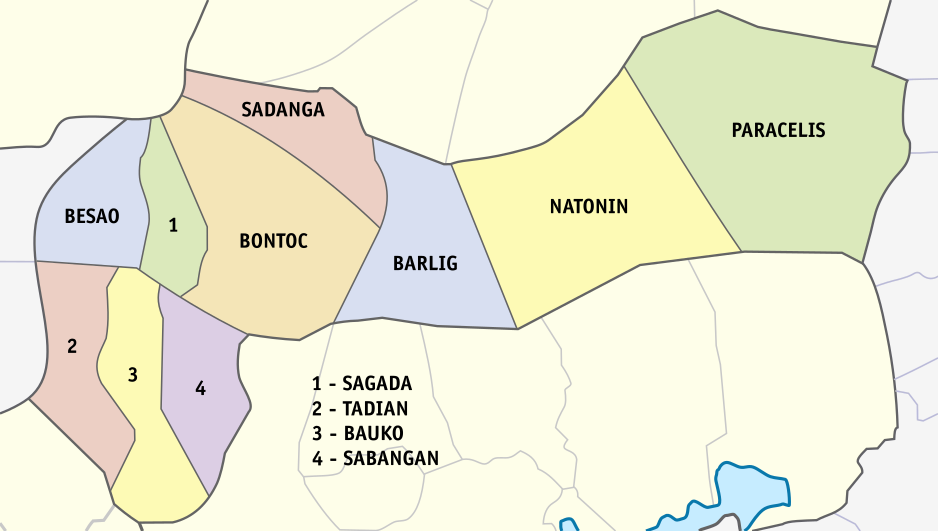
Mountain Province is a landlocked province of the Philippines in the Cordillera Administrative Region in Luzon. Its capital is Bontoc. Mountain Province was formerly referred to as ''Mountain'' in some foreign references. The name is usually shortened by locals to ''Mt. Province''. The province was named so for being in the Cordillera Central mountain range found in the upper realms of Luzon island. Mountain Province was also the name of the historical province that included most of the current Cordillera provinces. This old province was established by the Philippine Commission in 1908, and was later split in 1966 into Mountain Province, Benguet, Kalinga-Apayao and Ifugao. The province is also known for its mummy caves, which contain naturally mummified bodies, and for its hanging coffins. History Spanish period The area of the Cordillera mountains proved difficult to control by the Spaniards. During the long Spanish rule, not much was done to bring the province under ... [...More Info...] [...Related Items...] OR: [Wikipedia] [Google] [Baidu] |
Cordillera Administrative Region
The Cordillera Administrative Region (CAR; ilo, Rehion/Deppaar Administratibo ti Kordiliera; fil, Rehiyong Pampangasiwaan ng Cordillera), also known as the Cordillera Region and Cordillera (), is an administrative region in the Philippines, situated within the island of Luzon. It is the only landlocked region in the insular country, bordered by the Ilocos Region to the west and southwest, and by the Cagayan Valley Region to the north, east, and southeast. It is the least populous region in the Philippines, with a population less than that of the city of Manila. The region comprises six provinces: Abra, Apayao, Benguet, Ifugao, Kalinga and Mountain Province. The regional center is the highly urbanized city of Baguio. The region was officially created on July 15, 1987, and covers most of the Cordillera Mountain Range of Luzon and is home to numerous ethnic peoples. The Nueva Vizcaya province has a majority of Igorot population, but was placed by the American colonia ... [...More Info...] [...Related Items...] OR: [Wikipedia] [Google] [Baidu] |
Kalinga (province)
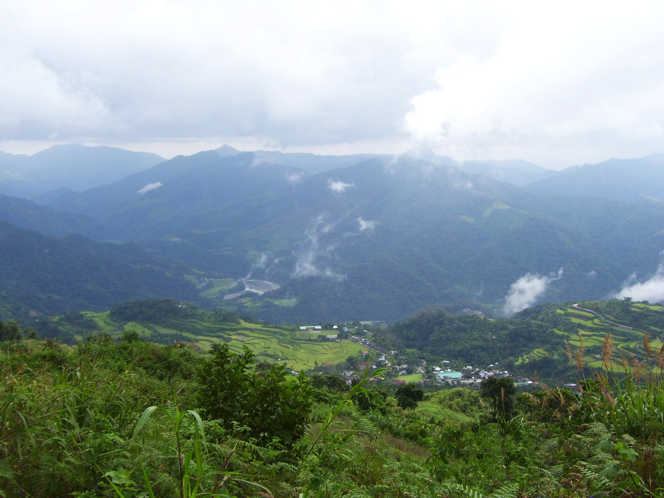
; tl, Lalawigan ng Kalinga) , native_name = , other_name = , settlement_type = , image_skyline = , image_caption = (from top: left to right) Bum-bag Rice Terraces, Pasil Valley, Lubuagan Mountains, Mount Manting-oy, Mount Binuluan and Tabuk City Hall. , image_flag = PH-KAL Flag.png , flag_size = 100x80px , image_seal = , seal_size = 100x80px , image_map = , map_caption = Location in the Philippines , coordinates = , subdivision_type = Country , subdivision_name = , subdivision_type1 = Region , subdivision_name1 = , established_title = Founded , established_date = May 8, 1995 , seat_type = Capital , seat = Tabuk , leader_party = , leader_title = Governor , leader_name = James ... [...More Info...] [...Related Items...] OR: [Wikipedia] [Google] [Baidu] |


