|
Subdivisions Of Botswana ...
Botswana is divided into 10 districts. # Central District #Ghanzi District #Kgalagadi District #Kgatleng District #Kweneng District # North-East District # North-West District # South-East District # Southern District #Chobe District (Separated from North-West District) {{Africa topic, Subdivisions of Botswana Botswana Botswana, officially the Republic of Botswana, is a landlocked country in Southern Africa. Botswana is topographically flat, with approximately 70 percent of its territory part of the Kalahari Desert. It is bordered by South Africa to the sou ... [...More Info...] [...Related Items...] OR: [Wikipedia] [Google] [Baidu] |
Central District (Botswana)
Central is the largest of Districts of Botswana, Botswana's districts in terms of area and population. It encompasses the traditional homeland of the Bamangwato people. Some of the most politically connected Tswana people, Batswana have come from the Central District, including former President Sir Seretse Khama, former President Festus Mogae, and former President Lt. General Seretse Ian Khama. The district borders the Botswanan districts of Chobe District, Chobe in the north, North-West District (Botswana), North-West in the northwest, Ghanzi District, Ghanzi in the west, Kweneng District, Kweneng in southwest, Kgatleng District, Kgatleng in the south and North-East District (Botswana), North-East in the northeast, as well as Zimbabwe also in the northeast (Matabeleland North and Matabeleland South Provinces) and South Africa in the southeast (Limpopo Province). As of 2022, the total population of the district was 706,135 compared to 638,604 in 2011. The growth rate of population d ... [...More Info...] [...Related Items...] OR: [Wikipedia] [Google] [Baidu] |
Ghanzi District
Ghanzi (sometimes Gantsi) is a Districts of Botswana, district in western Botswana, bordering Namibia in the west and extending east into much of the interior of the country. The district's administrative centre is the town of Ghanzi. Most of the eastern half of Ghanzi makes up the Central Kalahari Game Reserve. The human population at the 2022 census was 56,555, less populous than that of any other district in Botswana. Ghanzi's area is 117,910 km². In the west, Ghanzi borders the Omaheke Region of Namibia. Domestically, it borders the following districts: North-West District (Botswana), North-West on the north, Central District (Botswana), Central on the east, Kweneng District, Kweneng on the southeast, Kgalagadi District, Kgalagadi on the south. Ghanzi, Central Kalahari Game Reserve, Deception Valley, Ghanzi Craft, Kgalagadi Transfrontier Park and Khutse Game Reserve are the major game areas in the district. The district is administered by a district administration and dis ... [...More Info...] [...Related Items...] OR: [Wikipedia] [Google] [Baidu] |
Kgalagadi District
Kgalagadi is a district in southwest Botswana, lying along the country's border with Namibia and South Africa. The administrative center is Tsabong. The district of Kgalagadi covers a large part of the Kalahari Desert. It has a total area of 105,200 km2 and has a population of 42,000 (2001). More than one-third of the district is covered by the Kgalagadi Transfrontier Park, which extends into South Africa, and which is a major tourist attraction. As of 2011, the total population of the district was 50,492 (compared to 42,049 in 2001). The growth rate of population during the decade was 1.85. Kgalagadi's population represents 2.49 per cent of the total population of Botswana. The majority of employees (in 2011 there were 10,530 people in work) were working within the transport & communication and public administration sectors. The district is administered by a district administration and district council. Geography Kgalagadi borders Omaheke Region, Namibia in the northwest, ... [...More Info...] [...Related Items...] OR: [Wikipedia] [Google] [Baidu] |
Kgatleng District
Kgatleng is one of the districts of Botswana, coterminous with the homeland of the Bakgatla people. Its capital is Mochudi, the hometown of protagonist Precious Ramotswe in Alexander McCall Smith's popular '' The No. 1 Ladies' Detective Agency'' series. According to the 2001 Census, Kgatleng had a population of 73,507. Kgatleng borders the North West Province of South Africa in the south, and to the east it borders South Africa's Limpopo Province. Domestically, it borders South-East District in the southwest, Kweneng District in the west, and Central District in the north. As of 2022, the total population of the district was 121,882 compared to 91,660 in 2011. The growth rate of the population during the decade was 2.73. The total number of workers constituted 25,130 with 13,278 males and 11,853 females in 2011, with a majority involved in agriculture. The district is administered by a district administration and district council which are responsible for local administra ... [...More Info...] [...Related Items...] OR: [Wikipedia] [Google] [Baidu] |
Kweneng District
Kweneng is one of the districts of Botswana and is the recent historical homeland of the Bakwena people, the first group in Botswana converted to Christianity by famed missionary David Livingstone. Various landmarks, including Livingstone's Cave, allude to this history. The seat of the district's government is Molepolole, Botswana's most populous village (only trailing Botswana's two cities: Gaborone and Francistown). It borders Central District in northeast, Kgatleng District on the east, South-East District in southeast, Southern District in south, Kgalagadi District in the west, Ghanzi District in the north. The district is administered by a district administration and district council which are responsible for local administration. Manyana rock paintings in Manyana village and Kgosi Sechele I Museum are the major attractions in the district. As of 2011, the total population of the district was 304,549 compared to 230,335 in 2001. The growth rate of population during t ... [...More Info...] [...Related Items...] OR: [Wikipedia] [Google] [Baidu] |
North-East District (Botswana)
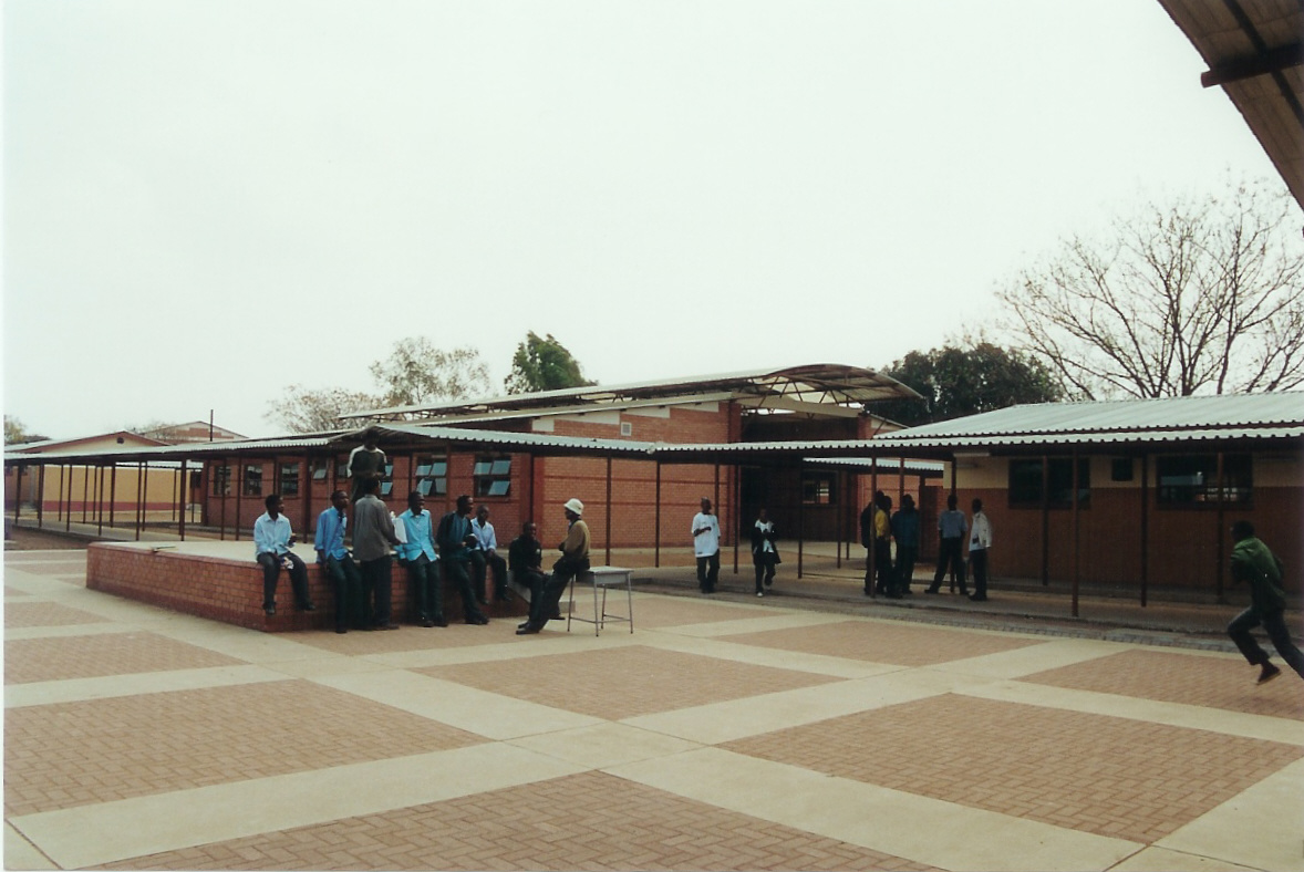
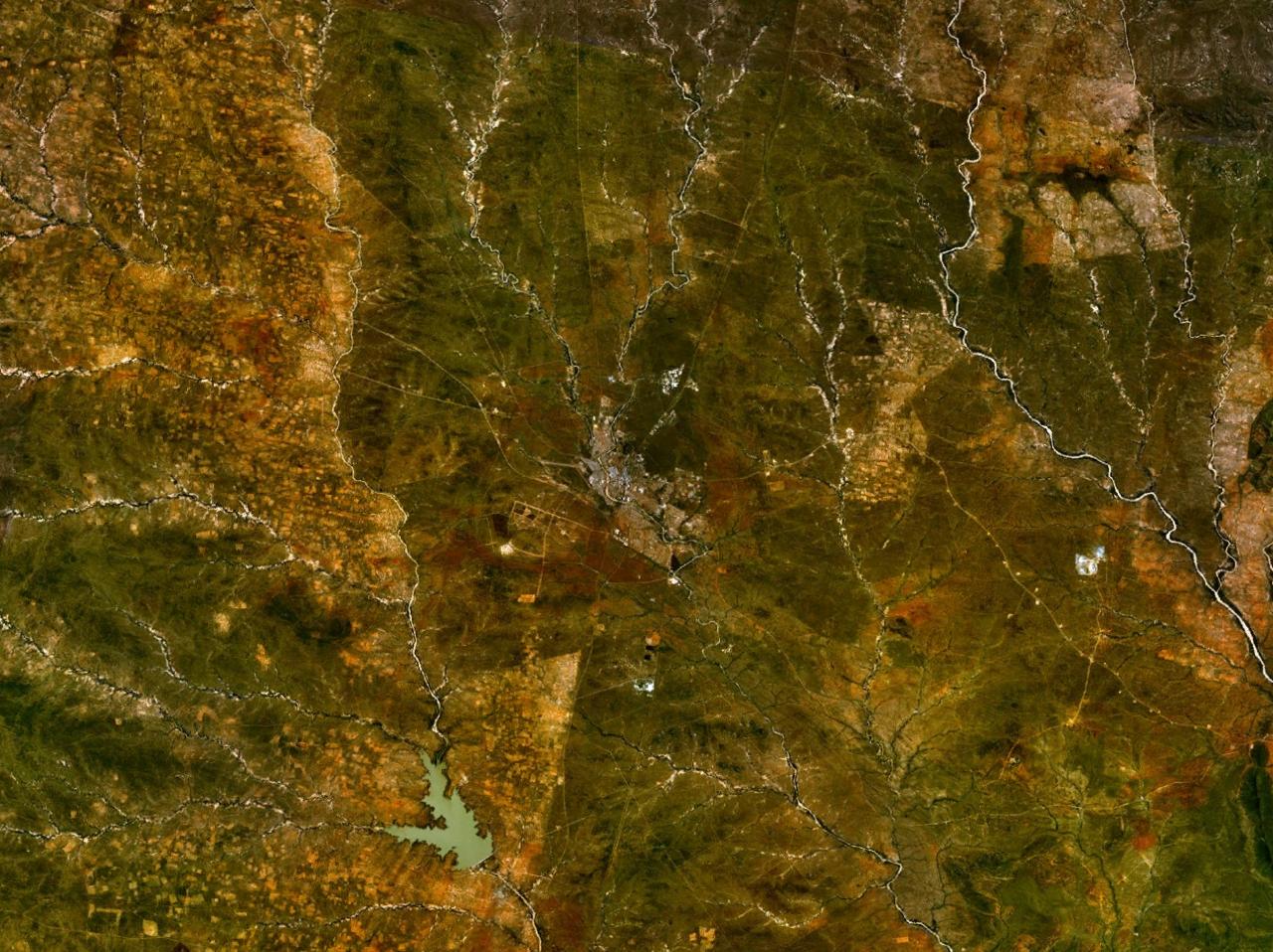
The North-East District is one of the administrative districts of Botswana. Its capital is Francistown. In 2011, North-East had a population of 60,264 people. The district is predominantly occupied by Kalanga-speaking people, the BaKalanga. The district is administered by a district administration and district council, which are responsible for local administration. In the north and east, the district borders the Matabeleland South Province of Zimbabwe, and the border in the east is predominantly along the Ramokgwebana River. In the south and west, the district borders the Central District along the Shashe River. Geography Most parts of Botswana have tableland slopes sliding from east to west. It is predominantly savannah, with tall grasses, bushes, and trees. The region has an average elevation of around above sea level. The annual precipitation is around , most of which is received during the summer season from November to May. There are conflicts between agricultural exp ... [...More Info...] [...Related Items...] OR: [Wikipedia] [Google] [Baidu] |
North-West District (Botswana)
The North-West District or Ngamiland is one of the first-level administrative subdivisions of Botswana. For census and administrative purposes Ngamiland is subdivided into Ngamiland East, Ngamiland West and Ngamiland Delta ( Okavango). It is governed by a District Commissioner, appointed by the national government, and the elected North-West District Council. The administrative centre is Maun. As of 2011, the total population of the district was 175,631 compared to 142,970 in 2001. The growth rate of population during the decade was 2.08. The total number of workers constituted 32,471 with 16,852 males and 15,621 females, with a majority of them involved in agriculture. Maun, the Tsodilo Hills, the Moremi Game Reserve, the Gchwihaba (Drotsky's) Caves, the Aha Hills (on the border with Namibia), the Nhabe Museum in Maun, and Maun Educational Park are the major tourist attractions in the district. History In the late 18th century, the Tswana people, primarily herders, began ... [...More Info...] [...Related Items...] OR: [Wikipedia] [Google] [Baidu] |
South-East District (Botswana)
South-East is one of the districts of Botswana. The capital city of Botswana, Gaborone, is surrounded by this district. The administrative capital for the South-East district is the village of Ramotswa. In the southeast, South-East borders the North West (South African province), North West Province of South Africa. Domestically, it borders Kgatleng District, Kgatleng in northeast, Kweneng District, Kweneng in northwest, Southern District (Botswana), Southern in southwest. As of 2011, the total population of the district was 85,014 compared to 60,623 in 2001. The growth rate of population during the decade was 3.44. The total number of workers constituted 21,810 with 11,927 males and 9,883 females, with a majority of them involved in agriculture. The district is administered by a district administration and district council which are responsible for local administration. Geography In the southeast, South-East borders the North West (South African province), North West Province of ... [...More Info...] [...Related Items...] OR: [Wikipedia] [Google] [Baidu] |
Southern District (Botswana)
Southern is one of the districts of Botswana. The capital of Southern district is Kanye, home to the Bangwaketse and Barolong in Botswana. The Southern district is home to Botswana's second largest beef farmers where there are large privately owned ranges, and several government run beef ranges which provide agricultural support to the local farmers. Maize and sorghum, Botswana's staple crop, are also raised in the area. Southern district is where the third diamond mine of Botswana was found (the Jwaneng diamond mine), which buoys Botswana's economic state of prosperity. It was the first district to house the capital city before being moved to Gaborone after independence. In the south, Southern borders the North West Province of South Africa. Domestically, it borders South-East District in east, Kweneng District in north, Kgalagadi District and south west. As of 2011, the total population of the district was 197,767 compared to 171,652 in 2001. The growth rate of popula ... [...More Info...] [...Related Items...] OR: [Wikipedia] [Google] [Baidu] |
Chobe District
Chobe District is an administrative district in the northern part of Botswana, with the headquarters in Kasane. In 2001 it was merged with Ngamiland, and until 2006 it shared with Ngamiland the North-West District Council as local government. Chobe National Park is in the Chobe District. As of 2011, the total population of the district was 23,347 compared to 18,258 in 2001. The growth rate of population during the decade was 2.49. The total number of workers constituted 12,059 with 6,113 males and 5,947 females, with majority of them working in public administration. Kasane and Chobe National Park, the second largest national park in the country, are the major tourist attractions in the district. Chobe National Park also has the largest population of elephants in Africa. The district shares the international border of the country with Namibia and Zambia in the north, Zimbabwe in the east, and also the district borders along North-West district of the country. The District is m ... [...More Info...] [...Related Items...] OR: [Wikipedia] [Google] [Baidu] |
Subdivisions Of Botswana ...
Botswana is divided into 10 districts. # Central District #Ghanzi District #Kgalagadi District #Kgatleng District #Kweneng District # North-East District # North-West District # South-East District # Southern District #Chobe District (Separated from North-West District) {{Africa topic, Subdivisions of Botswana Botswana Botswana, officially the Republic of Botswana, is a landlocked country in Southern Africa. Botswana is topographically flat, with approximately 70 percent of its territory part of the Kalahari Desert. It is bordered by South Africa to the sou ... [...More Info...] [...Related Items...] OR: [Wikipedia] [Google] [Baidu] |
Administrative Divisions By Country
Administration may refer to: Management of organizations * Management, the act of directing people towards accomplishing a goal: the process of dealing with or controlling things or people. ** Administrative assistant, traditionally known as a secretary, or also known as an administrative officer, administrative support specialist, or management assistant: a person whose work consists of supporting management ** Administration (government), management in or of government, the management of public affairs; government. *** Administrative division, a term for an administrative region within a country that is created for the purpose of managing of land and the affairs of people. ** Academic administration, a branch of an academic institution responsible for the maintenance and supervision of the institution ** Arts administration, a field that concerns business operations around an art organization ** Business administration, the performance or management of business operations *** Ba ... [...More Info...] [...Related Items...] OR: [Wikipedia] [Google] [Baidu] |


