|
Southwold
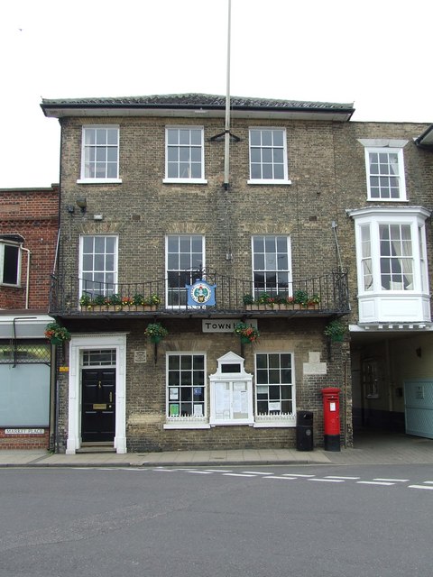
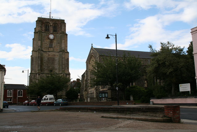
Southwold is a seaside town and civil parish on the North Sea, in the East Suffolk District, East Suffolk district, in the county of Suffolk, England. It lies at the mouth of the River Blyth, Suffolk, River Blyth in the Suffolk Coast and Heaths Area of Outstanding Natural Beauty, south of Lowestoft, north-east of Ipswich and north-east of London, within the parliamentary constituency of Suffolk Coastal (UK Parliament constituency), Suffolk Coastal. At the 2021 Census, the population was 950. History Southwold was mentioned in ''Domesday Book'' (1086) as a fishing port, and after the "capricious River Blyth withdrew from Dunwich in 1328, bringing trade to Southwold in the 15th century", it received its town charter from Henry VII of England, Henry VII in 1489. The grant of the charter is marked by the annual Charter fair, Trinity Fair, when it is read out by the Town Clerk. Over following centuries, however, a Shingle beach, shingle bar built up across the harbour mouth, prev ... [...More Info...] [...Related Items...] OR: [Wikipedia] [Google] [Baidu] |
Suffolk
Suffolk ( ) is a ceremonial county in the East of England and East Anglia. It is bordered by Norfolk to the north, the North Sea to the east, Essex to the south, and Cambridgeshire to the west. Ipswich is the largest settlement and the county town. The county has an area of and a population of 758,556. After Ipswich (144,957) in the south, the largest towns are Lowestoft (73,800) in the north-east and Bury St Edmunds (40,664) in the west. Suffolk contains five Non-metropolitan district, local government districts, which are part of a two-tier non-metropolitan county administered by Suffolk County Council. The Suffolk coastline, which includes parts of the Suffolk & Essex Coast & Heaths National Landscape, is a complex habitat, formed by London Clay and Crag Group, crag underlain by chalk and therefore susceptible to erosion. It contains several deep Estuary, estuaries, including those of the rivers River Blyth, Suffolk, Blyth, River Deben, Deben, River Orwell, Orwell, River S ... [...More Info...] [...Related Items...] OR: [Wikipedia] [Google] [Baidu] |
Suffolk Coastal (UK Parliament Constituency)
Suffolk Coastal (sometimes known as Coastal Suffolk) is a parliamentary constituency in the county of Suffolk, England, which has been represented in the House of Commons of the UK Parliament since 2024 by Jenny Riddell-Carpenter, a Labour Party Member of Parliament (MP). Constituency profile The constituency is in the far East of England, and borders the North Sea. The main town is Felixstowe, which is a commercial port for imports and exports. The ONS considers Woodbridge to form part of the extended Ipswich Built-up Area. The seat includes the seaside destinations of Aldeburgh and Southwold. Workless claimants, registered jobseekers, were in November 2012 significantly lower than the national average of 3.8%, at 2.0% of the population based on a statistical compilation by ''The Guardian''. History This East Anglian constituency was created for the 1983 general election from eastern parts of the abolished county constituencies of Eye, and Sudbury and Woodbr ... [...More Info...] [...Related Items...] OR: [Wikipedia] [Google] [Baidu] |
Dunwich
Dunwich () is a village and civil parish in Suffolk, England. It is in the Suffolk & Essex Coast & Heaths National Landscape around north-east of London, south of Southwold and north of Leiston, on the North Sea coast. In the Anglo-Saxon period, Dunwich was the capital of the Kingdom of the East Angles, but the harbour and most of the town have since disappeared due to coastal erosion. At its height it was an international port similar in size to 14th-century London. Its decline began in 1286 when a storm surge hit the East Anglian coast, followed by two great storms in February and December of 1287, until it eventually shrank to the village it is today. Dunwich is possibly connected with the lost Anglo-Saxon placename '' Dommoc''. The name means dune -wich town, in old english. The population of the civil parish at the 2001 census was 84, [...More Info...] [...Related Items...] OR: [Wikipedia] [Google] [Baidu] |
George Katinakis
George Demetrius Katinakis (25 July 1873 — 15 May 1943) was an English first-class cricketer and British Army officer. The son of Demetrius Katinakis, a broker hailing from Constantinople in the Ottoman Empire, he was born at Bayswater in July 1873. Katinakis was commissioned into the British Army as a second lieutenant into the 4th (Militia) Battalion of the Princess of Wales's Own Regiment of Yorkshire (later the Green Howards) in June 1894, with promotion to lieutenant in July 1895. He resigned his commission in September 1897, and went to South Africa. There he played minor cricket matches for Bulawayo and Rhodesia. Whilst in South Africa, Katinakis was involved in an affair with Elizabeth Scott Brown, the wife of Pretoria-based Major Gerald Handcock; he sought damages against Katinakis, with a court awarding him damages of £1,000. He would marry Elizabeth in 1902. Katinakis had returned to England in 1900, aboard the . Following his return to England, he played club cri ... [...More Info...] [...Related Items...] OR: [Wikipedia] [Google] [Baidu] |
River Blyth, Suffolk
The River Blyth is a river in east Suffolk, England. Its source is near Laxfield and it reaches a tidal estuary between Southwold and Walberswick on the North Sea coast. Course The course of the river passes through agricultural land between Laxfield and Halesworth, flowing through the estate of Heveningham Hall and the village of Walpole before being crossed by the A144 road and the East Suffolk Line to the south of Halesworth. East of Halesworth the river is canalised in places and has a clear flood plain with land being used as grazing marsh. At Blythburgh it is crossed by the A12 trunk road before entering the estuarine section of the river. The estuary mouth forms the main harbour area of Southwold and is still an active fishing harbour. The estuary is central to the plot of Peter Greenaway's film '' Drowning by Numbers'', being the scene of the final drowning. The river can be crossed by pedestrians by a public footbridge called the Bailey Bridge about a mile upst ... [...More Info...] [...Related Items...] OR: [Wikipedia] [Google] [Baidu] |
East Suffolk (district)
East Suffolk is a Non-metropolitan district, local government district in Suffolk, England. The largest town is Lowestoft, which contains Ness Point, the easternmost point of the United Kingdom. The second largest town is Felixstowe, which has the country's largest Port of Felixstowe, container port. On the district's south-western edge it includes parts of the Ipswich built-up area. The rest of the district is largely rural, containing many towns and villages, including several seaside resorts. Its council is based in the village of Melton, Suffolk, Melton. The district was formed in 2019 as a merger of the two previous districts of Suffolk Coastal and Waveney District, Waveney. In 2021 it had a population of 246,058. It is the most populous district in the country not to be a Unitary authorities of England, unitary authority. The district is on the coast, facing the North Sea. Much of the coast and adjoining areas lies within the Suffolk Coast and Heaths, a designated Area of O ... [...More Info...] [...Related Items...] OR: [Wikipedia] [Google] [Baidu] |
Battle Of Sole Bay
The Battle of Solebay took place on 6 June 1672 New Style, during the Third Anglo-Dutch War, near Southwold, Suffolk, in eastern England. A Dutch fleet under Michiel de Ruyter attacked a combined Anglo- French force in one of the largest naval battles of the age of sail. Fighting continued much of the day, but ended at sunset without a clear victory. However, the scattered Allied fleet had suffered far more damage and was forced to abandon any plans to land troops on the Dutch coast. Prelude In 1672, both France and England declared war on the Dutch Republic, on the 6 and 7 April respectively. Johan de Witt, the Dutch Grand Pensionary, still harbored some hope for successful negotiations, especially with the support of influential anti-Catholic English figures such as Sir William Temple and the Earl of Sandwich. However, Louis XIV of France had already revealed his true intentions during a sharp address to the Dutch ambassador, Pieter de Groot, at the New Year's reception at ... [...More Info...] [...Related Items...] OR: [Wikipedia] [Google] [Baidu] |
Beccles
Beccles ( ) is a market town and civil parishes in England, civil parish in the East Suffolk District, East Suffolk district, in the county of Suffolk, England.OS Explorer Map OL40: The Broads: (1:25 000) : . The town is located along the A145 road, A145 and A12 road (Great Britain), A12 roads, situated south-east of Norwich and north-northeast of Ipswich. Nearby towns include Lowestoft to the east and Great Yarmouth to the north-east. The town lies on the River Waveney on the edge of The Broads, The Broads National Park. It had a population at the 2011 census of 10,123. Worlingham is a suburb of Beccles; the combined population is 13,868. Beccles Town twinning, twinned with Petit-Couronne in France in 1978. History The place-name 'Beccles' is first attested in the Domesday Book of 1086, where it appears as ‘Becles’, located in the ancient Hundred_(county_division), hundred of Wangford Hundred, Wangford. It appears as ‘Beacles’ circa 1095 in a document from Bury St Ed ... [...More Info...] [...Related Items...] OR: [Wikipedia] [Google] [Baidu] |
Suffolk Coast And Heaths
The Suffolk & Essex Coast & Heaths National Landscape is an Area of Outstanding Natural Beauty in Suffolk and Essex, England. The AONB covers ancient woodland, commercial forestry, the estuaries of the Alde, Blyth, Deben, Orwell and Stour rivers, farmland, salt marsh, heathland, mudflats, reed beds, small towns and villages, shingle beaches and low eroding cliffs along 60 miles of coastline. Features include the coastal towns of Aldeburgh and Southwold, Bawdsey, Covehithe, Dunwich, Minsmere, Orford, Orford Ness, Sizewell, Thorpeness, Walberswick and the RSPB Minsmere Reserve. There are three National Nature Reserves in the area and many Sites of Special Scientific Interest. Three long-distance footpaths pass through the AONB: the Suffolk Coast Path, the Sandlings Walk and the Stour and Orwell Walk. In July 2020 the AONB was extended by around 38 square kilometres to cover land north of Brantham, and an area around Mistley and Wrabness in Essex Essex ... [...More Info...] [...Related Items...] OR: [Wikipedia] [Google] [Baidu] |
Prince William, Duke Of Cumberland
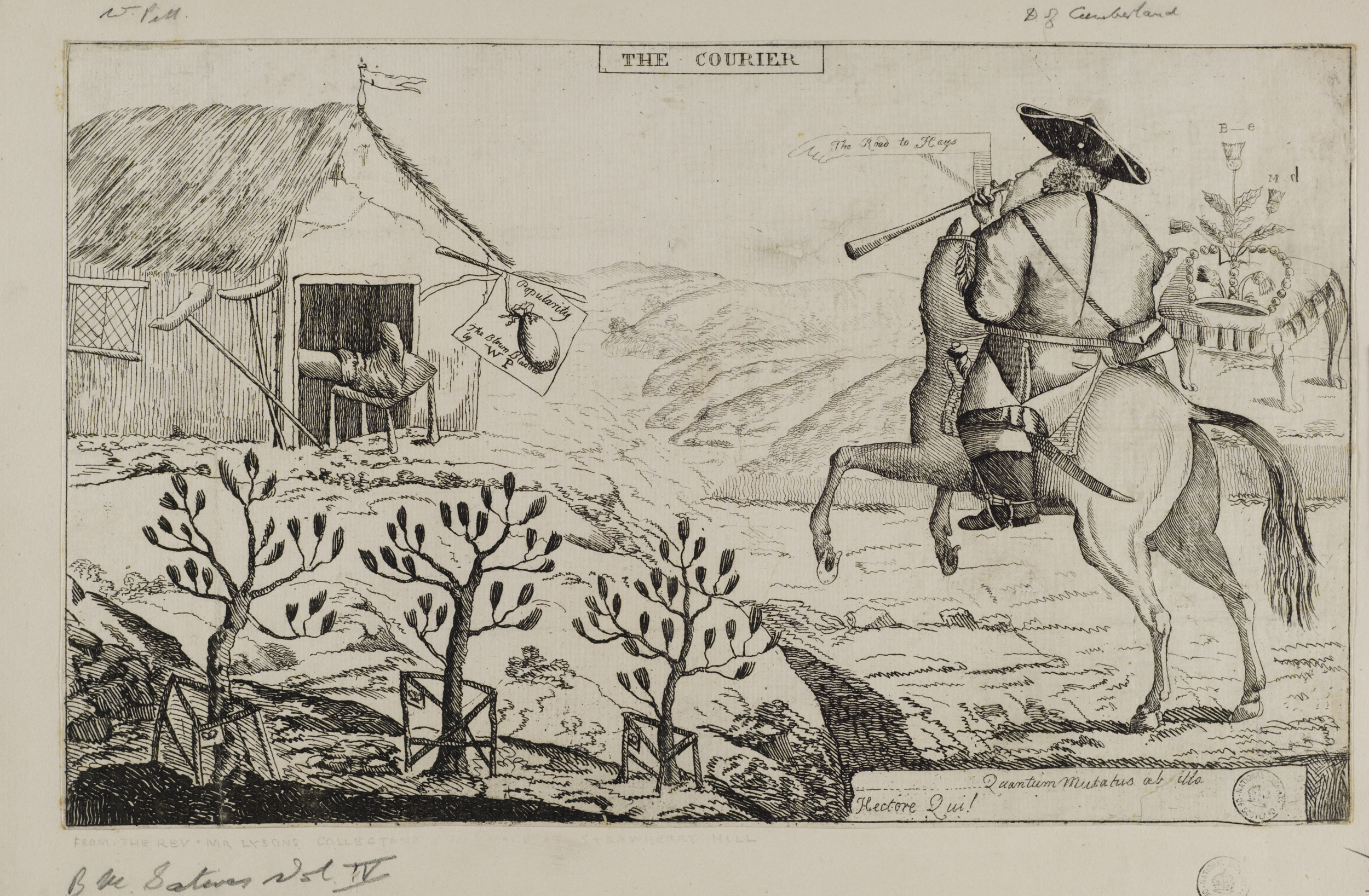
Prince William Augustus, Duke of Cumberland (15 April 1721 Old_Style_and_New_Style_dates.html" ;"title="/nowiki>Old Style and New Style dates">N.S./nowiki> – 31 October 1765) was the third and youngest son of Great Britain and Kingdom of Ireland">Ireland and his wife, Caroline of Ansbach. He was Duke of Cumberland from 1726. He is best remembered for his role in putting down the Jacobite rising of 1745, Jacobite Rising at the Battle of Culloden in 1746, which made him popular in certain parts of Britain. He is often referred to by the nickname given to him by his Tory opponents: 'Butcher' Cumberland. For much of the War of the Austrian Succession, with the assistance of John Ligonier, Cumberland commanded the main allied field army in Flanders acting in defence of the Austrian Netherlands and the Dutch Republic. At the head of the largest deployment of British troops on the continent since the days of Marlborough and opposed to the experienced French Marshal Maurice de Saxe ... [...More Info...] [...Related Items...] OR: [Wikipedia] [Google] [Baidu] |
Battle Of Culloden
The Battle of Culloden took place on 16 April 1746, near Inverness in the Scottish Highlands. A Jacobite army under Charles Edward Stuart was decisively defeated by a British government force commanded by the Duke of Cumberland, thereby ending the Jacobite rising of 1745. Charles landed in Scotland in July 1745, seeking to restore his father James Francis Edward Stuart to the British throne. He quickly won control of large parts of Scotland, and an invasion of England reached as far south as Derby before being forced to turn back. However, by April 1746, the Jacobites were short of supplies, facing a superior and better equipped opponent. Charles and his senior officers decided their only option was to stand and fight. When the two armies met at Culloden, the battle was brief, lasting less than an hour, with the Jacobites suffering an overwhelming and bloody defeat. This effectively ended both the 1745 rising, and Jacobitism as a significant element in British politics. Ba ... [...More Info...] [...Related Items...] OR: [Wikipedia] [Google] [Baidu] |


