|
Samukh District
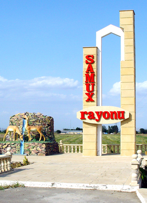
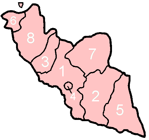
Samukh District () is one of the 66 districts of Azerbaijan. It is located in the north-west of the country and belongs to the Ganja-Dashkasan Economic Region. The district borders the districts of Goranboy, Goygol, Shamkir, Tovuz, Qakh, Yevlakh, city of Ganja and the Kakheti region of Georgia. Its capital and largest city is Samukh. As of 2020, the district had a population of 58,800. History The name "Samukh" comes from a Caucasian Albanian word for 'Forest Hunting Place'. A related term, Samonis, is used to mark this area on Ptolemy's 2nd-century BC map of the Caucasus. There are Bronze Age burial mounds around Samux Town. As an administrative unit, an entity known as Samukh Rayon was formed in 1930, centred on Garachayly settlement. However, in 1954, the construction of Mingechevir Hydro Power Plant rendered the region impractical as an administrative unit and Samukh Rayon was abolished, its territory thereafter falling within an expanded Safaraliyev Rayon. Safara ... [...More Info...] [...Related Items...] OR: [Wikipedia] [Google] [Baidu] |
Administrative Divisions Of Azerbaijan
Azerbaijan is administratively divided into 67 districts () and 11 cities () that are subordinate to the Republic. Out of these districts and cities, 7 districts and 1 city are located within the Nakhchivan Autonomous Republic. The districts are further divided into Municipalities of Azerbaijan, municipalities (). Additionally, the districts of Azerbaijan are grouped into 14 Economic regions of Azerbaijan, Economic Regions (). On 7 July 2021, President of Azerbaijan Ilham Aliyev signed a decree "On the new division of economic regions in the Republic of Azerbaijan". Administrative divisions Contiguous Azerbaijan The list below represents the districts of contiguous Azerbaijan. For those of the Nakhchivan exclave, see further below. Nakhchivan Autonomous Republic The seven districts and one municipality of the Nakhchivan Autonomous Republic are listed below. Economic regions Nagorno-Karabakh The territory of former Nagorno-Karabakh Autonomous Oblast presently ... [...More Info...] [...Related Items...] OR: [Wikipedia] [Google] [Baidu] |
Qakh District
Qakh District (; ; ) is one of the 66 districts of Azerbaijan. It is located in the north of the country, in the Shaki-Zagatala Economic Region. The district borders the districts of Zagatala, Shaki, Samukh, Yevlakh, as well as the Kakheti region of Georgia and the Russian Republic of Dagestan. Its capital and largest city is Qakh. As of 2020, the district had a population of 57,200. Geography The region is dominated by hot and subtropical climate. However mountainous areas are rather cold. Annual rain precipitation varies from 300mm (in the south) to 1600mm in mountain areas. Meadows, water resources, forests, and fertile soils are providing space for agricultural development, especially for walnut, chestnut production. Heavy rains and snowmelts from mountains often result in a flood. The region also has one of the biggest Natural Reserves in Azerbaijan named “Ilisu Natural Reserve”. Reserve is located near Aghchay village. Region borders with Dagestan Republic (Rus ... [...More Info...] [...Related Items...] OR: [Wikipedia] [Google] [Baidu] |
Turkish Pine
''Pinus brutia'', commonly known as the Turkish pine and Calabrian pine, is a species of pine native to the eastern Mediterranean region. The bulk of its range is in Turkey, but certain varieties are naturalized as far east as Afghanistan. It is also known as East Mediterranean pine, Afghan pine, and Brutia pine. The name "Calabrian pine" comes from an introduced grove in the Calabria region of southern Italy; historically this region was called Bruttium, which is likely where the specific epithet "brutia" comes from. ''Pinus brutia'' bears many similarities with other, closely related species such as '' Pinus halepensis'' and '' Pinus canariensis''. Turkish pine forms a species complex with the former. Description ''Pinus brutia'' is a medium-size tree, reaching tall with a trunk diameter of up to , exceptionally . The young bark is thin and red-orange, maturing to grey-brown to orange in color, fissured to flaky in texture. The leaves are needle-like, slender, long, dark gree ... [...More Info...] [...Related Items...] OR: [Wikipedia] [Google] [Baidu] |
Azerbaijan Soviet Socialist Republic
The Azerbaijan Soviet Socialist Republic, also referred to as the Azerbaijani Soviet Socialist Republic, Azerbaijan SSR, Azerbaijani SSR, AzSSR, Soviet Azerbaijan or simply Azerbaijan, was one of the Republics of the Soviet Union, constituent republics of the Soviet Union between 1922 and 1991. Created on 28 April 1920 when the Russian Soviet Federative Socialist Republic brought pro-Soviet figures to power in the region, the first two years of the Azerbaijani SSR were as an independent country until incorporation into the Transcaucasian Socialist Federative Soviet Republic, Transcaucasian SFSR, along with the Armenian SSR and the Georgian SSR. In December 1922, the Transcaucasian SFSR became part of the newly established Soviet Union. The Constitution of Azerbaijan SSR was approved by the 9th Extraordinary All-Azerbaijani Congress of Soviets on 14 March 1937. On 5 February 1991, Azerbaijan SSR was renamed the Republic of Azerbaijan according to the Decision No.16-XII of Supreme ... [...More Info...] [...Related Items...] OR: [Wikipedia] [Google] [Baidu] |
National Assembly Of Azerbaijan
The National Assembly (), also transliterated as Milli Mejlis, is the legislative branch of government in Azerbaijan. The unicameral National Assembly has 125 deputies: previously 100 members were elected for five-year terms in single-seat constituencies and 25 members were elected by proportional representation; as of the latest election, however, all 125 deputies are returned from single-member constituencies. The Assembly nominally has powers under the Azerbaijan Constitution, but in practice power is heavily concentrated in Ilham Aliyev, the President of Azerbaijan. Parliamentary elections in Azerbaijan are widely regarded as not being free and fair. Between 1993 and 2010, major opposition parties were allowed some representation in the Assembly in each election. However, since 2010, no opposition parties have held seats in the Assembly. There are nominal opposition parties and independents but they are supportive of the Aliyev regime. The constitutional amendments of 2 ... [...More Info...] [...Related Items...] OR: [Wikipedia] [Google] [Baidu] |
Safaraliyev Rayon
Safaraliyev () was a rayon (administrative region) of Azerbaijan from 1940 to 1959. History Safaraliyev Rayon was created on January 24, 1940, detached from the Ganjabasar rayon by Decree No.11 of the Supreme Soviet of the Azerbaijan SSR The Azerbaijan Soviet Socialist Republic, also referred to as the Azerbaijani Soviet Socialist Republic, Azerbaijan SSR, Azerbaijani SSR, AzSSR, Soviet Azerbaijan or simply Azerbaijan, was one of the constituent republics of the Soviet Union be .... It was named after Khanlar Safaraliyev, an early Azerbaijani socialist active at the same time as Stalin in the Baku Oil Fields and leader of the 1907 strike. In 1954 the region's area expanded by the addition of the territory of the then abolished Samux Rayon which had become untenable geographically following the construction of a large reservoir for the Mingechevir Hydro Power Plant. However, in 1959, Safaraliyev Rayon was itself abolished. Today a new Samukh Rayon, reborn on February 18, 19 ... [...More Info...] [...Related Items...] OR: [Wikipedia] [Google] [Baidu] |
Mingechevir Hydro Power Plant
Mingachevir ( ) is the fourth largest city in Azerbaijan with a population of about 106,000. It is often called the "city of lights" because of its hydroelectric power station on the Kura River, which divides the city down the middle. The current city was founded in 1948, partly by German prisoners of war captured during World War II. Mingechevir is also home to Mingachevir Polytechnic Institute. The city forms an administrative division of Azerbaijan. The district is located 323 km from the capital Baku and 17 km from the Baku-Tbilisi railway. Geographically, the region is located in the center of the republic on both sides of the Kura River. History The archaeological history of this area extends from the eneolith era (3000 BC) to the AD 17th century. In 1871, Adolf Berge, chairman of the Caucasus archaeological committee, gave information about the archaeological monuments of Mingachevir at the second congress of archaeologists in St Petersburg, wrongfully presen ... [...More Info...] [...Related Items...] OR: [Wikipedia] [Google] [Baidu] |
Nəbiağalı
Samukh (, formerly known as ''Nəbiağalı'' (1992–2008)) (also, Sabarkend, Sabir, Safarabad, Safaraliyeb, and Safaraliyev) is a city and the most populous municipality in, and the administrative center of, the Samukh District of Azerbaijan Azerbaijan, officially the Republic of Azerbaijan, is a Boundaries between the continents, transcontinental and landlocked country at the boundary of West Asia and Eastern Europe. It is a part of the South Caucasus region and is bounded by .... It has a population of 6,013. References * Populated places in Samukh District {{Samukh-geo-stub ... [...More Info...] [...Related Items...] OR: [Wikipedia] [Google] [Baidu] |
Ptolemy
Claudius Ptolemy (; , ; ; – 160s/170s AD) was a Greco-Roman mathematician, astronomer, astrologer, geographer, and music theorist who wrote about a dozen scientific treatises, three of which were important to later Byzantine science, Byzantine, Islamic science, Islamic, and Science in the Renaissance, Western European science. The first was his astronomical treatise now known as the ''Almagest'', originally entitled ' (, ', ). The second is the ''Geography (Ptolemy), Geography'', which is a thorough discussion on maps and the geographic knowledge of the Greco-Roman world. The third is the astrological treatise in which he attempted to adapt horoscopic astrology to the Aristotelian physics, Aristotelian natural philosophy of his day. This is sometimes known as the ' (, 'On the Effects') but more commonly known as the ' (from the Koine Greek meaning 'four books'; ). The Catholic Church promoted his work, which included the only mathematically sound geocentric model of the Sola ... [...More Info...] [...Related Items...] OR: [Wikipedia] [Google] [Baidu] |
Caucasian Albanian Language
Caucasian Albanian (also called Old Udi, Aluan or Aghwan) is an extinct member of the Northeast Caucasian languages. It was spoken in Caucasian Albania, which stretched from current day south Dagestan to Azerbaijan. Linguists believe it is an early linguistic predecessor to the endangered Northeast Caucasian Udi language. The distinct Caucasian Albanian alphabet used 52 letters. Caucasian Albanian possibly corresponds to the "Gargarian" language identified by medieval Armenian historians. Despite its name, Caucasian Albanian bears no linguistic relationship whatsoever with the Albanian language spoken in Albania, which belongs to the Indo-European family. Discovery and decipherment The existence of the Caucasian Albanian literature was known only indirectly before the late 20th century. Koryun's ''Life of Mashtots'', written in the 5th century but only surviving in much later corrupted manuscripts, and Movses Kaghankatvatsi's ''History of the Caucasian Albanians'', written i ... [...More Info...] [...Related Items...] OR: [Wikipedia] [Google] [Baidu] |
Georgia (country)
Georgia is a country in the Caucasus region on the coast of the Black Sea. It is located at the intersection of Eastern Europe and West Asia, and is today generally regarded as part of Europe. It is bordered to the north and northeast by Russia, to the south by Turkey and Armenia, and to the southeast by Azerbaijan. Georgia covers an area of . It has a Demographics of Georgia (country), population of 3.7 million, of which over a third live in the capital and List of cities and towns in Georgia (country), largest city, Tbilisi. Ethnic Georgians, who are native to the region, constitute a majority of the country's population and are its titular nation. Georgia has been inhabited since prehistory, hosting the world's earliest known sites of winemaking, gold mining, and textiles. The Classical antiquity, classical era saw the emergence of several kingdoms, such as Colchis and Kingdom of Iberia, Iberia, that formed the nucleus of the modern Georgian state. In the early fourth centu ... [...More Info...] [...Related Items...] OR: [Wikipedia] [Google] [Baidu] |
Kakheti
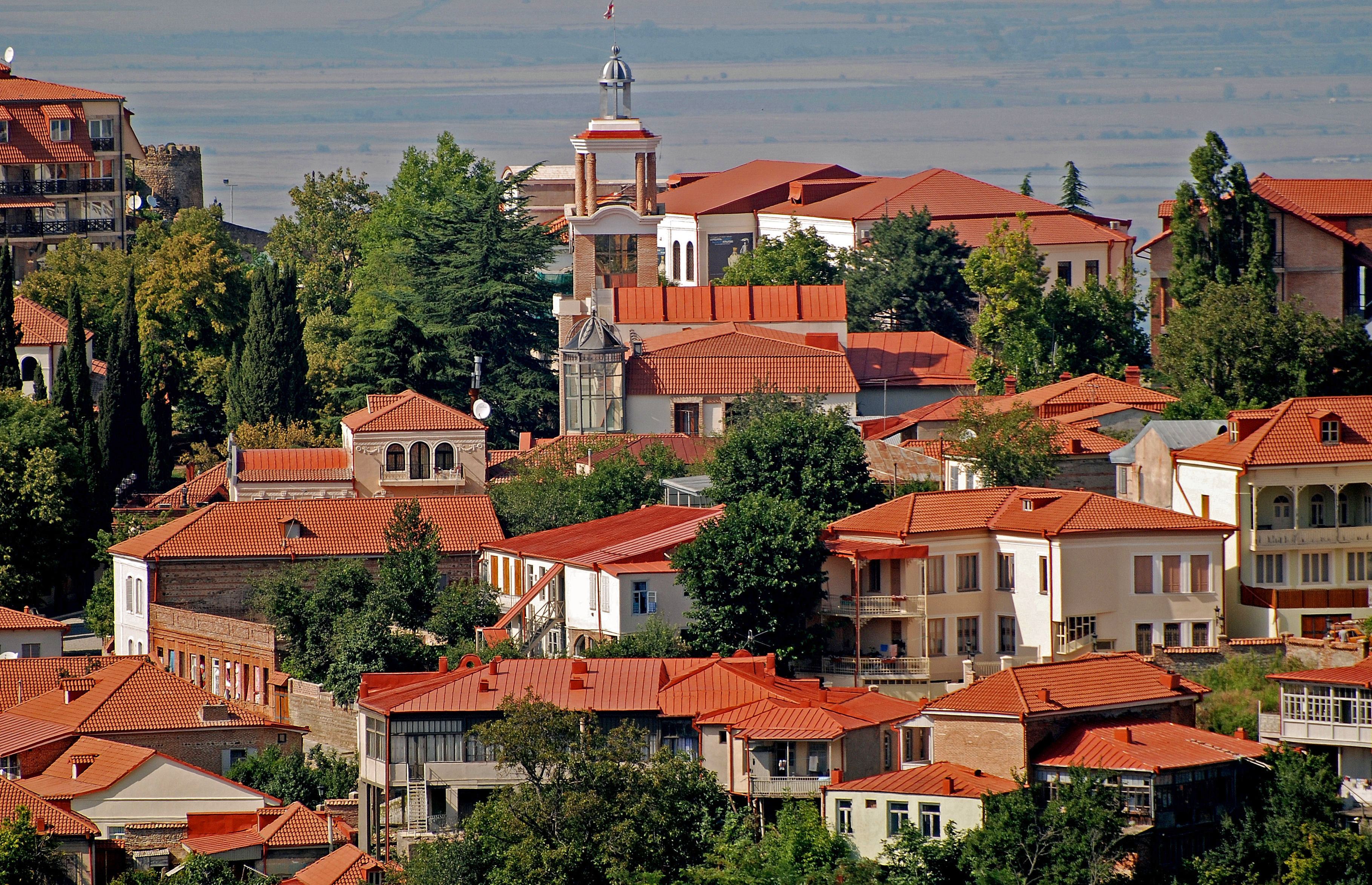
Kakheti (; ) is a region of Georgia. Telavi is its administrative center. The region comprises eight administrative districts: Telavi, Gurjaani, Qvareli, Sagarejo, Dedoplistsqaro, Signagi, Lagodekhi and Akhmeta. Kakhetians speak the Kakhetian dialect of Georgian. Kakheti is one of the most significant wine producing regions of Georgia, home to a number of Georgian wines. The region is bordered to the west by the Georgian regions of Mtskheta-Mtianeti and Kvemo Kartli, to the north and east by the Russian Federation, and to the southeast by Azerbaijan. Popular tourist attractions in Kakheti include Tusheti, Gremi, Signagi, Kvetera, Bodbe, Lagodekhi Protected Areas and Alaverdi Monastery. The Georgian David Gareji monastery complex is partially located in this province and is subject to a border dispute between Georgian and Azerbaijani authorities. Geography Beyond the modern-day administrative subdivision into the districts, Kakheti has traditionally ... [...More Info...] [...Related Items...] OR: [Wikipedia] [Google] [Baidu] |


