 |
Rustenburg
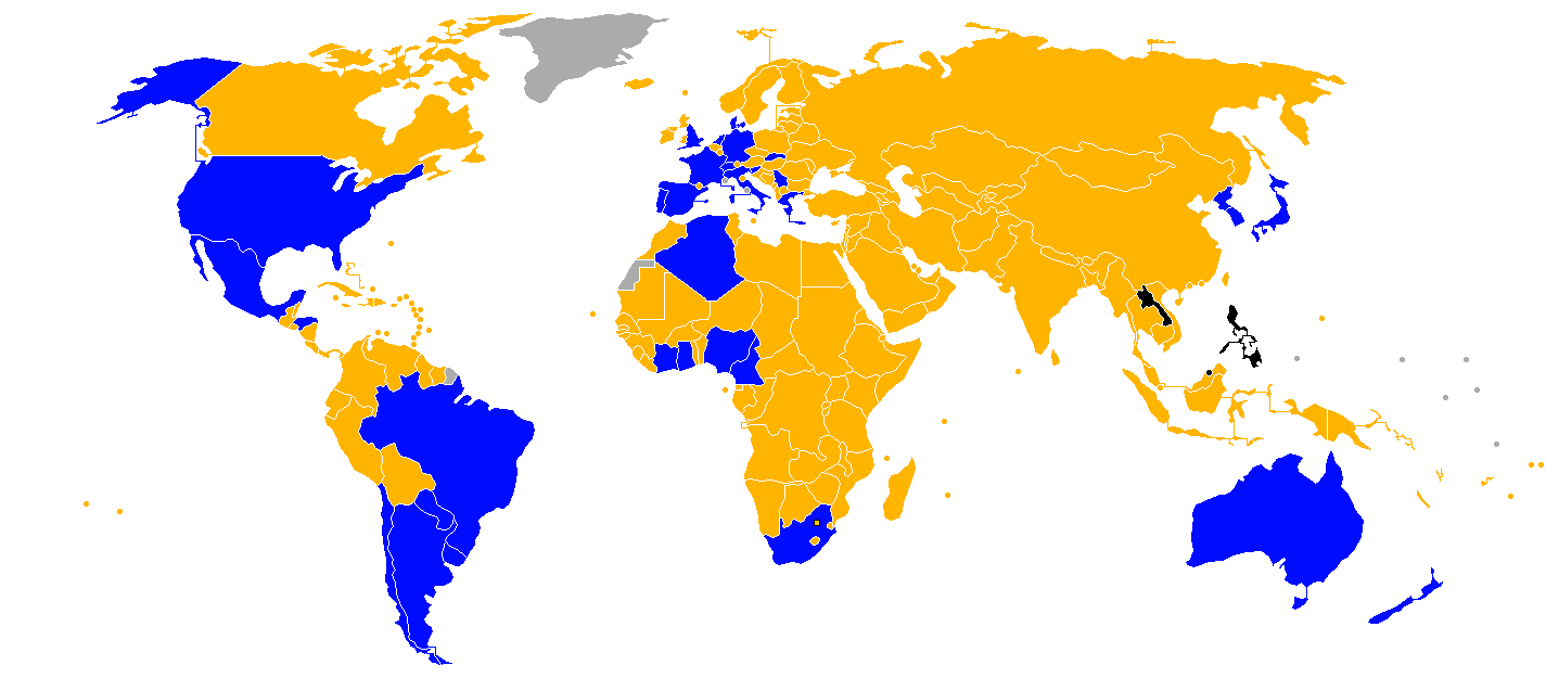
Rustenburg (; , Afrikaans and Dutch language, Dutch: ''City of Rest'') is a town at the foot of the Magaliesberg mountain range. Rustenburg is the most populous city in North West (South African province), North West province, South Africa (549,575 in 2011 and 626,522 in the 2016 census). In 2017, the city's Gross Domestic Product (GDP) reached ZAR 63.8 billion, accounting for 21.1% of the GDP of the North West Province, and 1.28% of the GDP of South Africa. Rustenburg was one of the official host cities of the 2010 FIFA World Cup, being in close proximity to Phokeng, the capital of the Royal Bafokeng Nation, where the Royal Bafokeng Stadium is located. The England national football team also used this as their base camp for the tournament. History Mfecane Before European settlers arrived, the area had been settled by agrarian Setswana-speaking tribes. Rustenburg's population is primarily Tswana people. Partially belonging to the Royal Bafokeng Nation, extensive landowners e ... [...More Info...] [...Related Items...] OR: [Wikipedia] [Google] [Baidu] |
|
Rustenburg Local Municipality
Rustenburg Municipality (; ) is a local municipality within the Bojanala Platinum District Municipality, in the North West province of South Africa. Rustenburg is situated at the foot of the Magalies mountain range. Rustenburg (meaning "town of rest" or "resting place" in Afrikaans) was proclaimed a township in 1851. The city of Rustenburg is situated some 112 km northwest from both Johannesburg and Pretoria. It is a malaria-free area. Rustenburg is the fastest growing municipality in South Africa, with the population rising from 387,096 in 2001 to 449,776 in 2007. It is the most populous municipality in the North West province. ''Rustenburg'' is a Dutch name meaning "town (originally castle) of rest". Main places The 2001 census divided the municipality into the following main places: Politics The municipal council consists of eighty-nine members elected by mixed-member proportional representation. Forty-five councillors are elected by first-past-the-post voting in ... [...More Info...] [...Related Items...] OR: [Wikipedia] [Google] [Baidu] |
|
|
North West Province
North West ( ; ) is a province of South Africa. Its capital is Mahikeng. The province is located to the west of the major population centre and province of Gauteng and south of Botswana. History North West was incorporated after the end of apartheid in 1994, and includes parts of the former Transvaal Province and Cape Province, as well as most of the former bantustan of Bophuthatswana. It was the scene of political violence in Khutsong, Merafong City Local Municipality in 2006 and 2007, after cross-province municipalities were abolished and Merafong Municipality was transferred entirely to North West. Merafong has since been transferred to Gauteng province in 2009. This province is the birthplace of prominent political figures: Lucas Mangope, Moses Kotane, Ahmed Kathrada, Abram Onkgopotse Tiro, Ruth Mompati, J. B. Marks, Aziz Pahad, and Essop Pahad, among others. Law and government The Provincial Government consists of a premier, an executive council of ten minis ... [...More Info...] [...Related Items...] OR: [Wikipedia] [Google] [Baidu] |
|
 |
2010 FIFA World Cup
The 2010 FIFA World Cup was the 19th FIFA World Cup, the world championship for List of men's national association football teams, men's national Association football, football teams. It took place in South Africa from 11 June to 11 July 2010. The FIFA World Cup hosts#2010 FIFA World Cup, bidding process for hosting the tournament finals was open only to African nations. In 2004, the international football federation, FIFA, selected South Africa over Egypt and Morocco to become the first African nation to host the finals. The matches were played in #Venues, 10 stadiums in nine host cities around the country, with the opening and final played at the Soccer City stadium in South Africa's largest city, Johannesburg. Thirty-two teams were selected for participation via a 2010 FIFA World Cup qualification, worldwide qualification tournament that began in August 2007. In the #Group stage, first round of the tournament finals, the teams competed in Round-robin tournament, round-robin ... [...More Info...] [...Related Items...] OR: [Wikipedia] [Google] [Baidu] |
|
Dutch Reformed Church, Rustenburg
The Dutch Reformed Church in Rustenburg is the second oldest congregation of the Dutch Reformed Church north of the Vaal River The Vaal River ( ; Khoemana: ) is the largest tributary of the Orange River in South Africa. The river has its source near Breyten in Mpumalanga province, east of Johannesburg and about north of Ermelo and only about from the Indian Oce ... and approximately the 43rd oldest congregation in the entire church. It is the mother congregation of the NG Church in the city of Rustenburg. References category:Rustenburg Dutch Reformed Church in South Africa (NGK) {{SouthAfrica-church-stub ... [...More Info...] [...Related Items...] OR: [Wikipedia] [Google] [Baidu] |
|
|
Bojanala District Municipality
The Bojanala Platinum District Municipality () is one of the 4 districts of the North West province of South Africa. The seat of the municipality is Rustenburg. As of 2011, a majority of its 1,507,505 residents spoke Setswana. The district code is DC37. Geography Neighbours Bojanala Platinum is surrounded by: * Waterberg (DC36) to the north; * Tshwane (Pretoria) to the east; * West Rand (CBDC8) to the south-east: * Dr Kenneth Kaunda (DC40) to the south: * Ngaka Modiri Molema (DC38) to the west. Local municipalities The district contains the following local municipalities: Demographics The following statistics are from the 2011 census. Gender Ethnic group Age Politics Election results Election results for Bojanala Platinum in the South African general election, 2004 General elections were held in South Africa on Wednesday, 14 April 2004. The African National Congress (ANC) of President Thabo Mbeki, which came to power after the end of the apartheid s ... [...More Info...] [...Related Items...] OR: [Wikipedia] [Google] [Baidu] |
|
 |
Paul Kruger
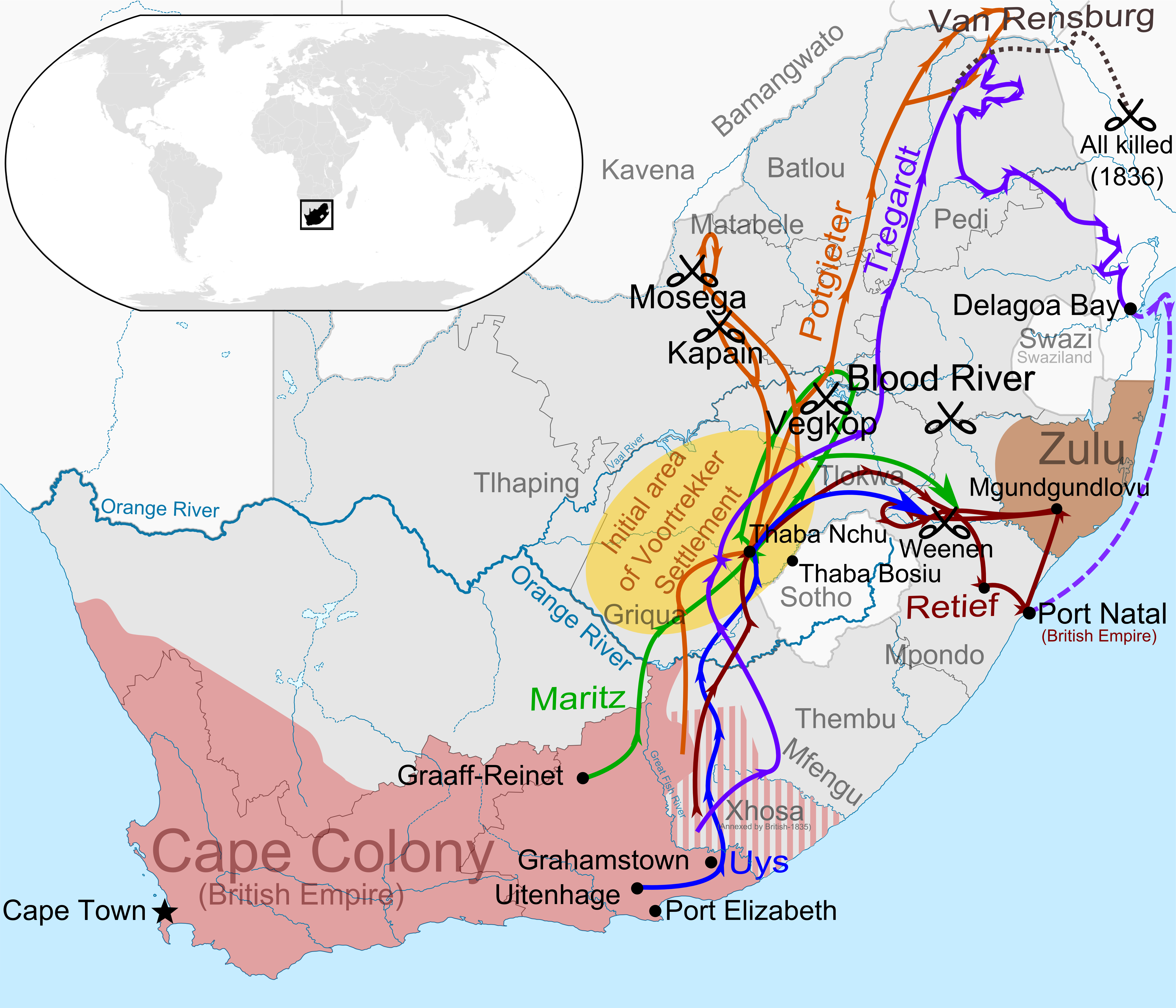
Stephanus Johannes Paulus Kruger (; 10 October 1825 – 14 July 1904), better known as Paul Kruger, was a South African politician. He was one of the dominant political and military figures in 19th-century South Africa, and State President of the South African Republic (or Transvaal) from 1883 to 1900. Nicknamed , he came to international prominence as the face of the Boer cause—that of the Transvaal and its neighbour the Orange Free State—against Britain during the Second Boer War of 1899–1902. He has been called a personification of Afrikanerdom and admirers venerate him as a tragic folk hero. Born near the eastern edge of the Cape Colony, Kruger took part in the Great Trek as a child during the late 1830s. He had almost no education apart from the Bible. A protégé of the Voortrekker leader Andries Pretorius, he witnessed the signing of the Sand River Convention with Britain in 1852 and over the next decade played a prominent role in the forging of the South ... [...More Info...] [...Related Items...] OR: [Wikipedia] [Google] [Baidu] |
 |
Magaliesberg
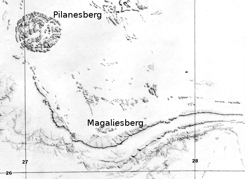
The Magaliesberg (historically also known as ''Macalisberg'' or ''Cashan Mountains'') of northern South Africa, is a modest but well-defined mountain range composed mainly of quartzites. It rises at a point south of the Pilanesberg (and the Pilanesberg National Park) to form a curved prominence that intersects suburban Pretoria before it peters out some to the east, just south of Bronkhorstspruit. The highest point of the Magaliesberg is reached at Nooitgedacht, about above sea level. A cableway reaching to the top of the mountain range is located at Hartbeespoort Dam, providing sweeping views of the Magaliesberg and surrounding area. Geology The Magaliesberg has ancient origins. Its composition is ascribed to successive geological processes over a very protracted history. Its quartzites, shales, chert and dolomite were deposited as sediments in an inland basin on top of a 3 billion year old Archaean Basement Complex, known as the Kaapvaal craton. This process of sedi ... [...More Info...] [...Related Items...] OR: [Wikipedia] [Google] [Baidu] |
|
Royal Bafokeng Stadium
The Royal Bafokeng Sports Palace is a football, rugby and athletics stadium in Phokeng near Rustenburg, South Africa. It was built and is managed by the Royal Bafokeng Nation. It was used as the home stadium for Premier Soccer League club Platinum Stars. The Leopards rugby team host large attendance matches during the Currie Cup at the stadium, instead of their usual home ground, Olën Park. The capacity of the stadium was increased from 38,000 to 42,000 to be able to host five first-round matches and one second-round match at the 2010 FIFA World Cup. For the 2010 tournament, the main west stand was upgraded and enlarged and given a new cantilever roof. Other improvements include the installation of new electronic scoreboards, new seats, and upgraded floodlights and public address system. The stadium upgrade was completed in March 2009 for hosting 4 matches of the 2009 FIFA Confederations Cup. Sporting and Miscellaneous events 2009 FIFA Confederations Cup Royal Baf ... [...More Info...] [...Related Items...] OR: [Wikipedia] [Google] [Baidu] |
|
|
Telephone Numbers In South Africa
Telephone numbers in South Africa are administered by the Independent Communications Authority of South Africa. On 16 January 2007, the country switched to a closed numbering plan. It became mandatory to dial the full nine-digit national telephone number. For calls within the country, this is prefixed by trunk code ''0'' (zero), which is often included in listings of the area code. Area codes within the system are generally organized geographically. Special services by Telkom have numbers with special formats. When dialed from another country, the national number is prefixed with the appropriate international access code and the telephone country code 27. Background History Numbers were allocated when South Africa had only four provinces, meaning that ranges are now split across the current nine provinces. Namibia South-West Africa (including Walvis Bay) was integrated into the South African numbering plan. However, the International Telecommunication Union (ITU ... [...More Info...] [...Related Items...] OR: [Wikipedia] [Google] [Baidu] |
|
|
Provinces Of South Africa
South Africa is divided into nine provinces. On the eve of the 1994 South African general election, 1994 general election, South Africa's former homelands, known as Bantustans, were reintegrated into the country, and the four provinces were increased to nine. The borders of Natal (province), Natal and the Orange Free State were retained, while the Cape Province and Transvaal (province), Transvaal were divided into three provinces each, plus North West Province which straddles the border of and contains territory from both these two former provinces. The twelfth, thirteenth and sixteenth amendments to the Constitution of South Africa changed the borders of seven of the provinces. History The Union of South Africa was established in 1910 by combining four British colonies: Cape Colony; Natal Colony; Transvaal Colony; Orange River Colony. The last two were, before the Second Boer War, independent republics known as the South African Republic and the Orange Free State. These coloni ... [...More Info...] [...Related Items...] OR: [Wikipedia] [Google] [Baidu] |
|
|
Bantu Peoples Of South Africa
Bantu speaking people are the majority ethno-racial group in South Africa. They are descendants of Southern Bantu-speaking peoples who settled in South Africa during the Bantu expansion. They are referred to in various census as ''blacks'', or ''Native Africans''. History Early history Archaeological evidence suggests that ''Homo sapiens'' inhabited the region for over 100,000 years, with sedentary agriculture occurring since at least 100 CE. Based on prehistorical archaeological evidence of pastoralism and farming in southern Africa, the settlements in sites located in the southernmost region of modern Mozambique established around are some of the oldest and most proximate pieces of archaeological evidence related to the South African Bantu-speaking peoples. Ancient settlements remains found thus far similarly based on pastoralism and farming within South Africa were dated . Around 1220, the Kingdom of Mapungubwe formed in the Shashe-Limpopo Basin, with rainmaking cruci ... [...More Info...] [...Related Items...] OR: [Wikipedia] [Google] [Baidu] |