|
Reisseck Group
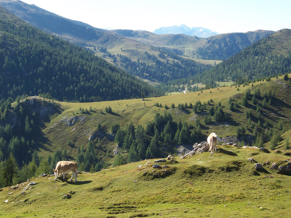
The Reisseck Group or Reißeck Group () is a small mountain sub-range in the Austrian state of Carinthia. As the southern part of the Ankogel Group, it belongs to the High Tauern range of the Central Eastern Alps. Geography The Reisseck Group is separated from the northern Ankogel Group by the Dösen valley, stretching east of Mallnitz up to the ''Dösener See'' alpine lake at a height of , and the ''Gößgraben'' gorge down to the Maltatal, Malta Valley. Its eastern boundary is formed by the Malta and Lieser rivers with the town of Gmünd, Carinthia, Gmünd, separating it from the Gurktal Alps (Nock Mountains). To the south, it is bounded by the Möll valley and the neighbouring Kreuzeck Group. The Reisseck Group is predominantly formed of gneisses. The highest peak in the mountain range is the Reißeck (mountain), Reißeck at (). Other significant summits are the Tristenspitz (), the Hohe Leier () and the Gmeineck (). The Kaponig valley in the northwestern Reisseck Group has b ... [...More Info...] [...Related Items...] OR: [Wikipedia] [Google] [Baidu] |
Spittal An Der Drau
Spittal an der Drau is a town in the western part of the Austrian federal state of Carinthia (state), Carinthia. It is the administrative centre of Spittal an der Drau District, Austria's second largest district (''Districts of Austria, Bezirk'') by area. Geography The town is located on the southern slopes of the Gurktal Alps (Nock Mountains), between the Lurnfeld Basin and the Lower Drau Valley. Despite its name, the historic core of Spittal originated on the banks of the small Lieser (river in Carinthia), Lieser tributary, which flows into the Drau at the foot of Mt. Goldeck, a peak of the Gailtal Alps south of the town. Its summit can be reached by Aerial lift, cable car. The municipal area consists of seven Katastralgemeinden: Amlach, Edling, Großegg, Molzbichl, Olsach, Spittal proper, and St. Peter-Edling. In Großegg (incorporated in 1973), the area of Spittal extends to the southern shore of Lake Millstatt. History The settlement was first mentioned in an 1191 deed issue ... [...More Info...] [...Related Items...] OR: [Wikipedia] [Google] [Baidu] |
Gurktal Alps
The Gurktal Alps (, ) is a mountain range in the Central Eastern Alps in Austria which is named after the valley of the Gurk river. The range stretches west to Lake Millstatt and east to Neumarkter Sattel (north-northwest of Neumarkt in Steiermark). The highest peak is Eisenhut at 2,441m (8,009 ft). Geography Location The range is located between the Mur Valley to the north (which separates it from the Niedere Tauern range) and the River Drava to the south, where it borders the Gailtal Alps and Karavanke ranges of the Southern Limestone Alps. In the west, the Gurktal Alps reach up to the Katschberg Pass and the Ankogel Group of the Hohe Tauern range. To the east, the Neumarkt Pass in Upper Styria separates it from the adjacent Lavanttal Alps. Subdivisions The Gurktal Alps can be divided into five subgroups: * The '' Nock Mountains'' lie between the Liesertal and Flattnitzer Höhe. Their highest peak is the Eisenhut (2,441 m). * The ''Metnitz Mountains'' lie ... [...More Info...] [...Related Items...] OR: [Wikipedia] [Google] [Baidu] |
Reisseck Mountain Railway
The Reisseck Mountain Railway () was a narrow gauge railway with a track gauge of 600 mm, that started at the top station of Schoberboden on the Reisseck Funicular Railway in Austria. It was closed in 2014. History An industrial railway was required for the construction of the Reißeck-Kreuzeck Power Station. The line opened on 1 July 1953. Because, following the completion of the construction work, the line had to be kept going for maintenance reasons, it was decided to open the railway to tourists as well. The Reisseck Mountain Railway Company (''Reißeck-Höhenbahngesellschaft mbH'') was founded in 1969, although public services did not begin until 16 September 1965. Route Together with the Reisseck Funicular the Reisseck Mountain Railway links Schoberboden with the Seenplateau ("Lake Plateau"). The line was 3,359 metres long, of which 2,130 metres ran through a tunnel. The terminus for passenger services was at the hotel of ''Berghotel Reißeck'' at (). T ... [...More Info...] [...Related Items...] OR: [Wikipedia] [Google] [Baidu] |
Reisseck Railway
The Reisseck Railway (sometimes Reißeck Railway, ) was a mountain railway, that ran from Carinthia (state), Carinthia's Möll valley into the Reißeck Group, a small mountain range in southern Austria. It comprised the Reisseck Funicular and the Reisseck Mountain Railway (a narrow-gauge railway). Overview The Reisseck Railway started in Kolbnitz in the Möll Valley, Möll valley at a height of () and ended for passenger services at the Berghotel Reisseck at a height of () Further sections of line ended at about . On the opposite side of the valley is another funicular, the Kreuzeck Railway (Carinthia), Kreuzeck Railway, which is still operating. The lines were operated by Tauern Touristik. Originally the railway was built to transport materiel to the dam and power station of the Reisseck-Kreuzeck power station. After various modifications and expansions its main function was to provide passenger services. The railway closed in 2016 during construction work at Schoberbo ... [...More Info...] [...Related Items...] OR: [Wikipedia] [Google] [Baidu] |

