|
Mitte
Mitte () is the first and most central borough of Berlin. The borough consists of six sub-entities: Mitte proper, Gesundbrunnen, Hansaviertel, Moabit, Tiergarten and Wedding. It is one of the two boroughs (the other being Friedrichshain-Kreuzberg) which were formerly divided between East Berlin and West Berlin. Mitte encompasses Berlin's historic core and includes some of the most important tourist sites of Berlin like the Reichstag and Berlin Hauptbahnhof, Checkpoint Charlie, Museum Island, the TV tower, Brandenburg Gate, Unter den Linden, Potsdamer Platz, Alexanderplatz, the latter six of which were in former East Berlin. Geography Mitte ( German for "middle", "centre") is located in the central part of Berlin along the Spree River. It borders on Charlottenburg-Wilmersdorf in the west, Reinickendorf in the north, Pankow in the east, Friedrichshain-Kreuzberg in the southeast, and Tempelhof-Schöneberg in the southwest. In the middle of the Spree lies Museum Is ... [...More Info...] [...Related Items...] OR: [Wikipedia] [Google] [Baidu] |
Mitte (locality)
Mitte (; German for "middle" or "center") is a central section () of Berlin, Germany, in the eponymous borough () of Mitte. Until 2001, it was itself an autonomous district. Mitte proper comprises the historic center of Old Berlin, with the medieval churches of St. Nicholas and St. Mary, the Museum Island, city buildings (Rotes Rathaus and Altes Stadthaus), the Fernsehturm, and the Brandenburg Gate, along the central boulevard of Unter den Linden. For these reasons, Mitte is considered the "heart" of Berlin. History Mitte comprises the historic center of Berlin ( and ). Its history thus corresponds to the history of the entire city until the early 20th century, and with the Greater Berlin Act in 1920 it became the first district of the city. It was among the areas of the city most heavily damaged in World War II. Following a territorial redeployment by the Soviet Union and the United Kingdom that reshaped the borders of West Berlin's British Sector in August 1945, the ... [...More Info...] [...Related Items...] OR: [Wikipedia] [Google] [Baidu] |
Berlin
Berlin ( ; ) is the Capital of Germany, capital and largest city of Germany, by both area and List of cities in Germany by population, population. With 3.7 million inhabitants, it has the List of cities in the European Union by population within city limits, highest population within its city limits of any city in the European Union. The city is also one of the states of Germany, being the List of German states by area, third smallest state in the country by area. Berlin is surrounded by the state of Brandenburg, and Brandenburg's capital Potsdam is nearby. The urban area of Berlin has a population of over 4.6 million and is therefore the most populous urban area in Germany. The Berlin/Brandenburg Metropolitan Region, Berlin-Brandenburg capital region has around 6.2 million inhabitants and is Germany's second-largest metropolitan region after the Rhine-Ruhr region, as well as the List of EU metropolitan areas by GDP, fifth-biggest metropolitan region by GDP in the European Union. ... [...More Info...] [...Related Items...] OR: [Wikipedia] [Google] [Baidu] |
Alexanderplatz
(, ''Alexander Square'') is a large public square and transport hub in the central Mitte district of Berlin. The square is named after the Russian Tsar Alexander I, which also denotes the larger neighbourhood stretching from in the north-east to and the in the south-west. is reputedly the most visited area of Berlin, beating Friedrichstrasse and City West. It is a popular starting point for tourists, with many attractions including the (TV tower), the Nikolai Quarter and the ('Red City Hall') situated nearby. is still one of Berlin's major commercial areas, housing various shopping malls, department stores and other large retail locations. History Early history to the 18th century A hospital stood at the location of present-day since the 13th century. Named (St. George), the hospital gave its name to the nearby (George Gate) of the Berlin city wall. Outside the city walls, this area was largely undeveloped until around 1400, when the first settlers began bu ... [...More Info...] [...Related Items...] OR: [Wikipedia] [Google] [Baidu] |
Gesundbrunnen (Berlin)
Gesundbrunnen (, literally "health springs"; colloquially ''Plumpe'', "pump") is a locality (''Ortsteil'') of Berlin in the borough (''Bezirk'') of Mitte. It was created as a separate entity during the 2001 administrative reform, formerly the eastern half of the former Wedding district (merged into Mitte) and locality. Gesundbrunnen has the highest percentage of non-German residents of any Berlin locality, at 35.1% as of the end of 2008. In-Berlin-Brandenburg.comWie viele Ausländer gibt es in Berlin?Retrieved 2009-10-27. Geography The locality is situated in Berlin's inner city, at the north-eastern rim of the central Mitte borough. Bernauer Straße separates it from the locality of Mitte in the south and Reinickendorfer Straße from Wedding in the west. In the north Gesundbrunnen borders with Reinickendorf (in the Reinickendorf borough) while in the east the Mauerpark and the Nordbahn railway line forms the border with Prenzlauer Berg and Pankow, both localities of the Pankow ... [...More Info...] [...Related Items...] OR: [Wikipedia] [Google] [Baidu] |
Berlin Hauptbahnhof
Berlin Hauptbahnhof () (English: Berlin Central Station) is the main railway station in Berlin, Germany. It came into full operation two days after a ceremonial opening on 26 May 2006. It is located on the site of the historic Lehrter Bahnhof, and on the Berlin S-Bahn suburban railway. The station is owned by DB InfraGO, a subsidiary of AG, and is classified as a Category 1 station, one of 21 in Germany and four in Berlin, the others being Berlin Gesundbrunnen, Berlin Südkreuz and Berlin Ostbahnhof. ''Lehrter Bahnhof'' (Lehrte Station) opened in 1871 as the terminus of the railway linking Berlin with Lehrte, near Hanover, which later became Germany's most important east–west main line. In 1882, with the completion of the Stadtbahn (City Railway, Berlin's four-track central elevated railway line, which carries both local and main line services), just north of the station, a smaller interchange station called Lehrter Stadtbahnhof was opened to provide connections with ... [...More Info...] [...Related Items...] OR: [Wikipedia] [Google] [Baidu] |
Berlin Palace
The Berlin Palace (), formerly known as the Royal Palace (), is a large building adjacent to Berlin Cathedral and the Museum Island in the Mitte area of Berlin. It was the main residence of the Electors of Brandenburg, Kings of Prussia and German Emperors from 1443 to 1918. Expanded by order of Frederick I of Prussia according to plans by Andreas Schlüter from 1689 to 1713, it was thereafter considered a major work of Prussian Baroque architecture. The royal palace became one of Berlin’s largest buildings and shaped the cityscape with its dome erected in 1845. Used for various government functions after the abolition of the Hohenzollern monarchy in the 1918 revolution, the palace was damaged during the Allied bombing in World War II, and was razed to the ground by the East German authorities in 1950. In the 1970s, the East German authorities erected a modernist parliamentary and cultural center on the site, known as the Palace of the Republic. After German reunificat ... [...More Info...] [...Related Items...] OR: [Wikipedia] [Google] [Baidu] |
Unter Den Linden
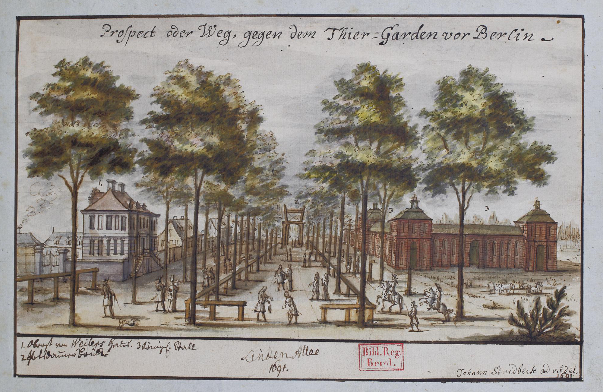
Unter den Linden (, "under the Tilia, linden trees") is a boulevard in the central Mitte (locality), Mitte district of Berlin, Germany. Running from the Berlin Palace to the Brandenburg Gate, it is named after the Tilia, linden trees (known as lime in the UK and Ireland and basswood in North America, not related to citrus lime) that line the grassed pedestrian mall on the median and the two broad carriageways. The avenue links numerous Berlin List of tourist attractions in Berlin, sights, landmarks and rivers for sightseeing. Overview Unter den Linden runs east–west from the Berlin Palace, the former main residence of the royal House of Hohenzollern, reconstructed (after the demolition of the communist Palace of the Republic (Berlin), Palace of the Republic) on its old site opposite the Lustgarten park, to Pariser Platz and Brandenburg Gate. Major north–south streets crossing ''Unter den Linden'' are Friedrichstraße and Wilhelmstrasse, both meeting at Mehringplatz and ... [...More Info...] [...Related Items...] OR: [Wikipedia] [Google] [Baidu] |
West Berlin
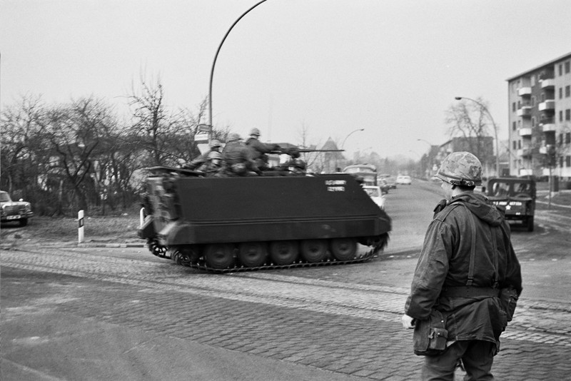
West Berlin ( or , ) was a political enclave which comprised the western part of Berlin from 1948 until 1990, during the Cold War. Although West Berlin lacked any sovereignty and was under military occupation until German reunification in 1990, the territory was claimed by the West Germany, Federal Republic of Germany (FRG or West Germany), despite being entirely surrounded by the East Germany, German Democratic Republic (GDR or East Germany). The legality of this claim was contested by the Soviet Union and other Eastern Bloc countries. However, West Berlin de facto aligned itself politically with the FRG from May 1949 and was thereafter treated as a ''de facto'' city-state of that country. After 1949, it was directly or indirectly represented in the institutions of the FRG, and most of its residents were citizens of the FRG. West Berlin was formally controlled by the Western Allies and entirely surrounded by East Berlin and East Germany. West Berlin had great symbolic signi ... [...More Info...] [...Related Items...] OR: [Wikipedia] [Google] [Baidu] |
Moabit
Moabit () is an inner city locality in the boroughs of Berlin, borough of Mitte, Berlin, Germany. As of 2022, about 84,000 people lived in Moabit. First inhabited in 1685 and incorporated into Berlin in 1861, the former industrial sector, industrial and working-class neighbourhood is fully surrounded by three watercourses, which define its present-day border. Between 1945 and 1990, Moabit was part of the British sector of West Berlin and directly bordered East Berlin. Until the administrative reform in 2001, Moabit was a part of the district of Tiergarten (Berlin), Tiergarten. Colloquially, the name ''Moabit'' also refers to the Moabit Criminal Court, Central Criminal Court (''Strafgericht'') and Detention (imprisonment), detention centre, which deals with all criminal cases in Berlin and is based in Moabit. Name The origin of the name ''Moabit'' is disputed. According to one account, it can be traced back to the Huguenots, in the time of King in Prussia, King Frederick Willia ... [...More Info...] [...Related Items...] OR: [Wikipedia] [Google] [Baidu] |
Wedding (Berlin)
Wedding (, ) is a locality in the borough of Mitte, Berlin, Germany. It was a separate borough in the north-western inner city until it was fused with Tiergarten and Mitte in Berlin's 2001 administrative reform. At the same time the eastern half of the former borough of Wedding—on the other side of Reinickendorfer Straße—was separated as the new locality of Gesundbrunnen. History In the 12th century, the manor of the nobleman Rudolf de Weddinge was located on the small Panke River in the immediate vicinity of today's Nettelbeckplatz. The farmstead, which burned down more than once, remained abandoned in the forest until the 18th century. In the mid-18th century, while Gesundbrunnen was being built up as a health resort and spa town, gambling and prostitution moved into Wedding, transforming it into a pleasure district. In 1864, Ernst Christian Friedrich Schering established the Schering pharmaceutical company on Müllerstraße; the company has been a part of Bayer sinc ... [...More Info...] [...Related Items...] OR: [Wikipedia] [Google] [Baidu] |
Tiergarten, Berlin
Tiergarten (, literally ''Animal Garden'', historically meaning ''deer park'' or hunting ''game park'') is a locality within the Boroughs of Berlin, borough of Mitte, in central Berlin (Germany). Notable for the great and Großer Tiergarten, homonymous urban park, before German reunification, it was a part of West Berlin. Until Berlin's 2001 administrative reform, Tiergarten was also the name of a borough (Bezirk), consisting of the current locality (''Ortsteil'') of Tiergarten (formerly called ''Tiergarten-Süd'') plus Hansaviertel and Moabit. A new system of road and rail tunnels runs under the park towards Berlin Hauptbahnhof, Berlin's main station in nearby Moabit. History Historical notes Once a hunting ground of the Prince-Elector, Electors of Rulers of Brandenburg, Brandenburg the ''Großer Tiergarten'' park of today was designed in the 1830s by landscape architect Peter Joseph Lenné. In the course of industrialization in the 19th century, a network of streets was laid ... [...More Info...] [...Related Items...] OR: [Wikipedia] [Google] [Baidu] |
Hansaviertel
The Hansaviertel () is the smallest ''Ortsteil'' (district) of Berlin and is between Großer Tiergarten and the Spree River, within the central Mitte borough of Berlin. The district was almost completely destroyed during World War II but was rebuilt from 1957 to 1961 as a social housing project by international master architects such as Alvar Aalto, Egon Eiermann, Walter Gropius, Oscar Niemeyer, and Sep Ruf. Called '' Interbau'', the whole ensemble has two churches (St. Ansgar and Kaiser-Friedrich-Gedächtniskirche). It is now protected as a historic monument. History The area's streets are named after "Hansa cities"; cities that were part of the Hanseatic League, a trading network established in the Middle Ages. ''Hansaplatz'', the central square, has a small shopping arcade, a library and the Grips-Theater. Hansaplatz subway station was built in 1957, though the U9 line did not open until 1961. Some Gründerzeit buildings remained north of the Stadtbahn railway. Altonaer ... [...More Info...] [...Related Items...] OR: [Wikipedia] [Google] [Baidu] |


