|
Laurel Highlands
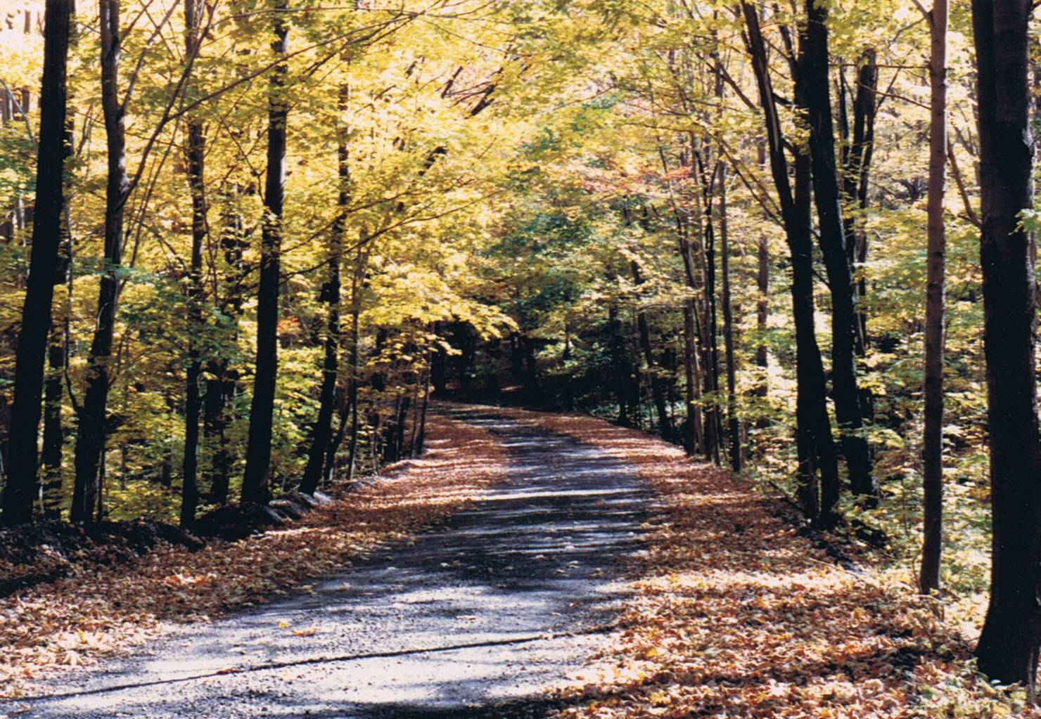
The Laurel Highlands is a region in southwestern Pennsylvania made up of Fayette County, Pennsylvania, Fayette County, Somerset County, Pennsylvania, Somerset County, and Westmoreland County, Pennsylvania, Westmoreland County. It has a population of about 600,000 people. The region is approximately fifty-five miles southeast of Pittsburgh, Pennsylvania, Pittsburgh; the Laurel Highlands center on Laurel Hill (Pennsylvania), Laurel Hill and Chestnut Ridge (Laurel Highlands), Chestnut Ridge of the Allegheny Mountains. The mountains making up the Laurel Highlands are the highest in Pennsylvania, with Mount Davis (Pennsylvania), Mount Davis in Somerset County the highest point in the state at . Because of the elevation, weather in the Laurel Highlands is generally cooler and wetter than in most other parts of the state. The Laurel Highlands is a popular area for camping, hiking, mountain biking, hunting, whitewater kayaking, trout fishing, wildlife viewing, downhill (and cross-co ... [...More Info...] [...Related Items...] OR: [Wikipedia] [Google] [Baidu] |
Laurel Mountain Ski Resort
Laurel Mountain Ski Resort is a ski resort located in Westmoreland County, Pennsylvania, United States. The resort is the primary attraction of Laurel Mountain State Park. Once known as the Ski Capital of Pennsylvania, Laurel Mountain has several distinctive features, along with a storied history. Not only does Laurel Mountain boast the highest vertical drop on the Laurel Ridge in Pennsylvania at 900 feet, the mountain is famous for its double diamond Lower Wildcat Slope, one of the steepest in the state which averages near 60% grade and reaches 72% at its steepest point. History Laurel Mountain’s distinct character is the result of a rich history. The slopes were originally designed by European skiing legend Johann "Hannes" Schneider, the renowned Austrian ski guide and inventor of the Arlberg Method, the basis of modern alpine ski technique. The resort opened in 1940, just before the U.S. entered World War II, and some of the original structures, including the storied ... [...More Info...] [...Related Items...] OR: [Wikipedia] [Google] [Baidu] |
Bushy Run Battlefield
Bushy Run Battlefield Park is a historical park operated by the Pennsylvania Historical and Museum Commission (PHMC) and thBushy Run Battlefield Heritage Societyon in Penn Township, Westmoreland County, Pennsylvania in the United States. It was the site of the Battle of Bushy Run fought on August 5–6, 1763 during the Pontiac's Rebellion. The battle was a major victory for the British and enabled them to secure their control of the Ohio River Valley and what was to become the Northwest Territory. Bushy Run Battlefield Park was established as a Pennsylvania state park in 1927 and declared a National Historic Landmark in 1960. Bushy Run Battlefield Park is the only historic site or museum that deals exclusively with Pontiac's Rebellion and Pennsylvania's only recognized Native American battlefield. The park is located on Pennsylvania Route 993 near Harrison City and Jeannette. Battle history The Battle of Bushy Run was fought between a British relief column under the comma ... [...More Info...] [...Related Items...] OR: [Wikipedia] [Google] [Baidu] |
Bowman%27s Castle
Bowman's Castle, also known as Nemacolin Castle, was built in present-day Brownsville, Pennsylvania, at the western terminus of the Nemacolin's Trail on the east bank of the Monongahela River. It was built around the original trading post, which was built near the site of Fort Burd, the latter built by British colonists during the French and Indian War. Construction on the castle, including addition of a crenellated tower, continued through the Victorian era, when it was considered an engineering marvel. ''Note:'' This includes History The trading post was built shortly after the American Revolutionary War, in the late 1780s. Founder of Brownsville (Thomas Brown) sold the land to a man named William Lynn in 1786. William eventually sold it to Jacob Bowman in July 1795 after his father's death the previous year, as stated in the Property DeedProperty Deed. Jacob Bowman began constructing the castle during the late 1790s in the community once known as Redstone. The trading post ... [...More Info...] [...Related Items...] OR: [Wikipedia] [Google] [Baidu] |
Fort Ligonier1
A fortification (also called a fort, fortress, fastness, or stronghold) is a military construction designed for the defense of territories in warfare, and is used to establish rule in a region during peacetime. The term is derived from Latin ("strong") and ("to make"). From very early history to modern times, defensive walls have often been necessary for cities to survive in an ever-changing world of invasion and conquest. Some settlements in the Indus Valley Civilization were the first small cities to be fortified. In ancient Greece, large cyclopean stone walls fitted without mortar had been built in Mycenaean Greece, such as the ancient site of Mycenae. A Greek '' phrourion'' was a fortified collection of buildings used as a military garrison, and is the equivalent of the Roman castellum or fortress. These constructions mainly served the purpose of a watch tower, to guard certain roads, passes, and borders. Though smaller than a real fortress, they acted as a border gu ... [...More Info...] [...Related Items...] OR: [Wikipedia] [Google] [Baidu] |
Johnstown Flood National Memorial
The Johnstown Flood National Memorial is a unit of the United States National Park Service in Cambria County, Pennsylvania. Established in 1964 through legislation signed by President Lyndon B. Johnson, it pays tribute to the thousands of victims of the Johnstown Flood, who were injured or killed on May 31, 1889 when the South Fork Dam ruptured. History History of the Johnstown Flood Founded in 1800, Johnstown was a steel town that grew from the development of the Pennsylvania Railroad and other transportation services in Cambria County. By 1889, the town had a population of thirty thousand people who were of mostly German and Welsh ancestry. Established in the center of a narrow floodplain between Little Conemaugh and Stony Creek rivers, the community was surrounded, during the latter part of the nineteenth century, by land that had been altered by deforestation and the leveling of hills. These factors contributed to periodic floods, as did the narrow river valleys. In 1836, ... [...More Info...] [...Related Items...] OR: [Wikipedia] [Google] [Baidu] |
Friendship Hill National Historic Site
Friendship Hill was the home of early American politician and statesman Albert Gallatin (1761–1849). Gallatin was a U.S. Congressman, the longest-serving Secretary of the Treasury under two presidents, and ambassador to France and Great Britain. The house overlooks the Monongahela River near Point Marion, Pennsylvania, about south of Pittsburgh. It is maintained by the National Park Service as Friendship Hill National Historic Site and is open to the public. Description Friendship Hill is a parcel of land in size, located on the east bank of the Monongahela River between New Geneva and Point Marion in rural southwestern Pennsylvania. The property's main house, also known as the Albert Gallatin House, is located atop a bluff that is the high point of the property. The house is made up of seven sections. The earliest of these is the original brick house built in 1789. This structure was constructed in the Federal style with a Flemish bond. Along the north side of the ... [...More Info...] [...Related Items...] OR: [Wikipedia] [Google] [Baidu] |
Fort Necessity
Fort Necessity National Battlefield is a National Battlefield in Fayette County, Pennsylvania, United States, which preserves the site of the Battle of Fort Necessity. The battle, which took place on July 3, 1754, was an early battle of the French and Indian War, and resulted in the surrender of British colonial forces under Colonel George Washington, to the French and Indians, under Louis Coulon de Villiers. The site also includes the Mount Washington Tavern, once one of the inns along the National Road, and in two separate units the grave of British General Edward Braddock, killed in 1755, and the site of the Battle of Jumonville Glen. Battle of Fort Necessity (1754) After returning to the Great Meadows in northwestern Virginia, and what is now Fayette County, Pennsylvania, George Washington decided it prudent to reinforce his position. Supposedly named by Washington as Fort Necessity or Fort of Necessity, the structure protected a storehouse for supplies such as gu ... [...More Info...] [...Related Items...] OR: [Wikipedia] [Google] [Baidu] |
Flight 93 National Memorial
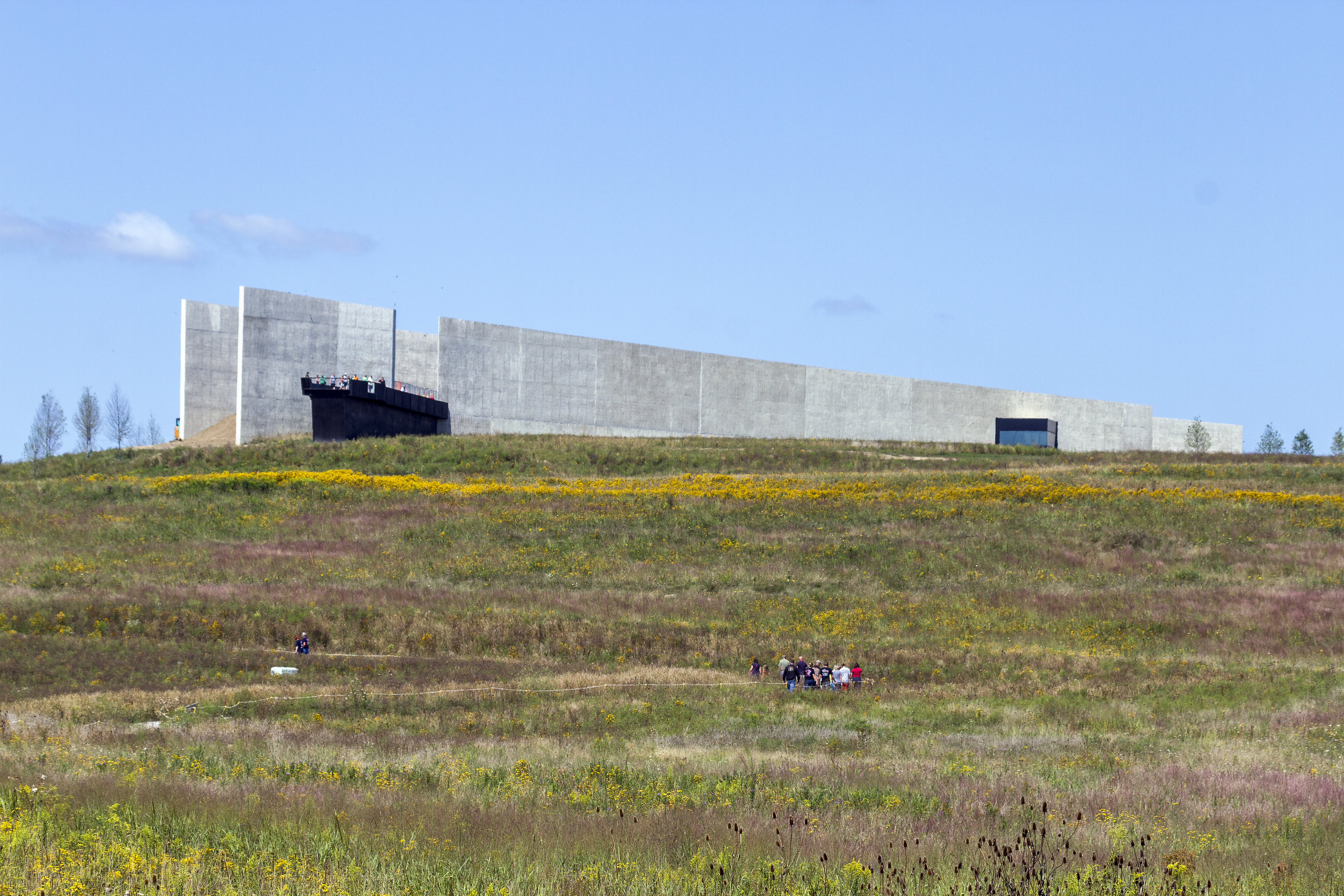
The Flight 93 National Memorial is a memorial built to commemorate the crash of United Airlines Flight 93, which was one of four aircraft hijacked during the September 11 attacks in 2001. The memorial is located in Somerset County, Pennsylvania, with the vast majority in Stonycreek Township, and with a small portion in Shade Township. It is southeast of Pittsburgh, west of Harrisburg (the state capital), and west of Philadelphia. A national memorial was created to honor the passengers and crew of Flight 93, who stopped the terrorists from reaching their target by fighting the hijackers. A temporary memorial to the 40 victims was established soon after the crash. The first phase of the permanent memorial was completed, opened, and dedicated on September 10, 2011. The design for the memorial is a modified version of the entry ''Crescent of Embrace'' by Paul and Milena Murdoch. A concrete and glass visitor center opened on September 10, 2015, situated on a hill overlooki ... [...More Info...] [...Related Items...] OR: [Wikipedia] [Google] [Baidu] |
Allegheny Portage Railroad
The Allegheny Portage Railroad was the first railroad constructed through the Allegheny Mountains in central Pennsylvania. It operated from 1834 to 1854 as the first transportation infrastructure through the gaps of the Allegheny that connected the midwest to the eastern seaboard across the barrier range of the Allegheny Front. Approximately long overall, both ends connected to the Pennsylvania Canal, and the system was primarily used as a portage railway, hauling river boats and barges over the divide between the Ohio and the Susquehanna Rivers. Today, the remains of the railroad are preserved within the Allegheny Portage Railroad National Historic Site operated by the National Park Service. The railroad was authorized as part of the Main Line of Public Works legislation in 1824. It had five inclines on either side of the drainage divide running athwart the ridge line from Blair Gap through along the kinked saddle at the summit into Cresson, Pennsylvania. The endpoint ... [...More Info...] [...Related Items...] OR: [Wikipedia] [Google] [Baidu] |
Fallingwater, Pennsylvania
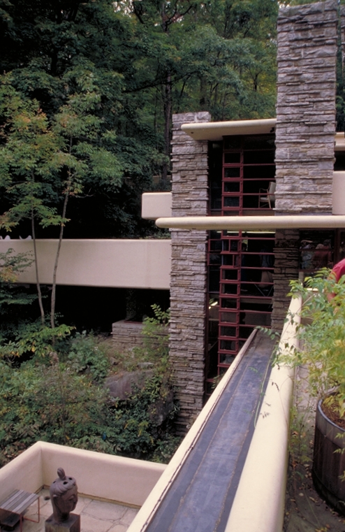
Fallingwater is a house museum in Stewart Township in the Laurel Highlands of southwestern Pennsylvania, United States. Designed by the architect Frank Lloyd Wright, it is built partly over a waterfall on the Bear Run stream. The three-story residence was developed as a weekend retreat for Liliane and Edgar J. Kaufmann Sr., the owner of Kaufmann's Department Store in Pittsburgh. The Western Pennsylvania Conservancy (WPC), which has operated Fallingwater as a tourist attraction since 1963, maintains surrounding the house. Edgar Kaufmann Sr. had established a summer retreat at Bear Run for his employees by 1916. When employees stopped using the retreat, the Kaufmanns bought the site in July 1933 and hired Wright to design the house in 1934. Several structural issues arose during the house's construction, including cracked concrete and sagging terraces. The Kaufmanns began using the house in 1937 and hired Wright to design a guest wing, which was finished in 1939. Edgar Kauf ... [...More Info...] [...Related Items...] OR: [Wikipedia] [Google] [Baidu] |


