|
Large Burghs
Large burgh was a type of municipal structure in Scotland, which existed from 1930 to 1975. History When county councils had been established in 1890 under the Local Government (Scotland) Act 1889, there were 26 burghs which were excluded from county council control. Many other burghs were within the area controlled by county councils, having various functions as lower-tier authorities. The Local Government (Scotland) Act 1929 made extensive reforms to the structure of local government, including bringing all but four burghs under the control of a county council; the exceptions were Aberdeen, Dundee, Edinburgh, and Glasgow, which were all classed as counties of cities. The burghs under county council control after 1930 were then classed as either small burghs or large burghs. Whilst the county councils provided some services in large burghs (notably education), the large burghs retained extensive responsibilities. The list of large burghs substantially overlapped with the list ... [...More Info...] [...Related Items...] OR: [Wikipedia] [Google] [Baidu] |
Burgh
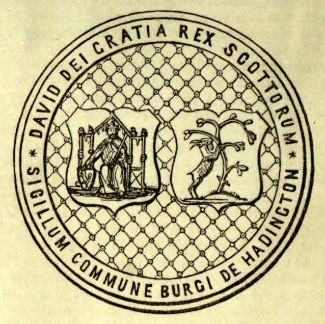
A burgh ( ) is an Autonomy, autonomous municipal corporation in Scotland, usually a city, town, or toun in Scots language, Scots. This type of administrative division existed from the 12th century, when David I of Scotland, King David I created the first royal burghs. Burgh status was broadly analogous to borough status in the United Kingdom, borough status, found in the rest of the United Kingdom. Following Local Government (Scotland) Act 1973, local government reorganisation in 1975, the title of "royal burgh" remains in use in many towns, but now has little more than ceremonial value. History The first burgh was Berwick-upon-Tweed, Berwick. By 1130, David I of Scotland, David I (r. 1124–53) had established other burghs including Edinburgh, Stirling, Dunfermline, Haddington, East Lothian, Haddington, Perth, Scotland, Perth, Dumfries, Jedburgh, Montrose, Angus, Montrose, Rutherglen and Lanark. Most of the burghs granted charters in his reign probably already existed as settle ... [...More Info...] [...Related Items...] OR: [Wikipedia] [Google] [Baidu] |
Dumbarton
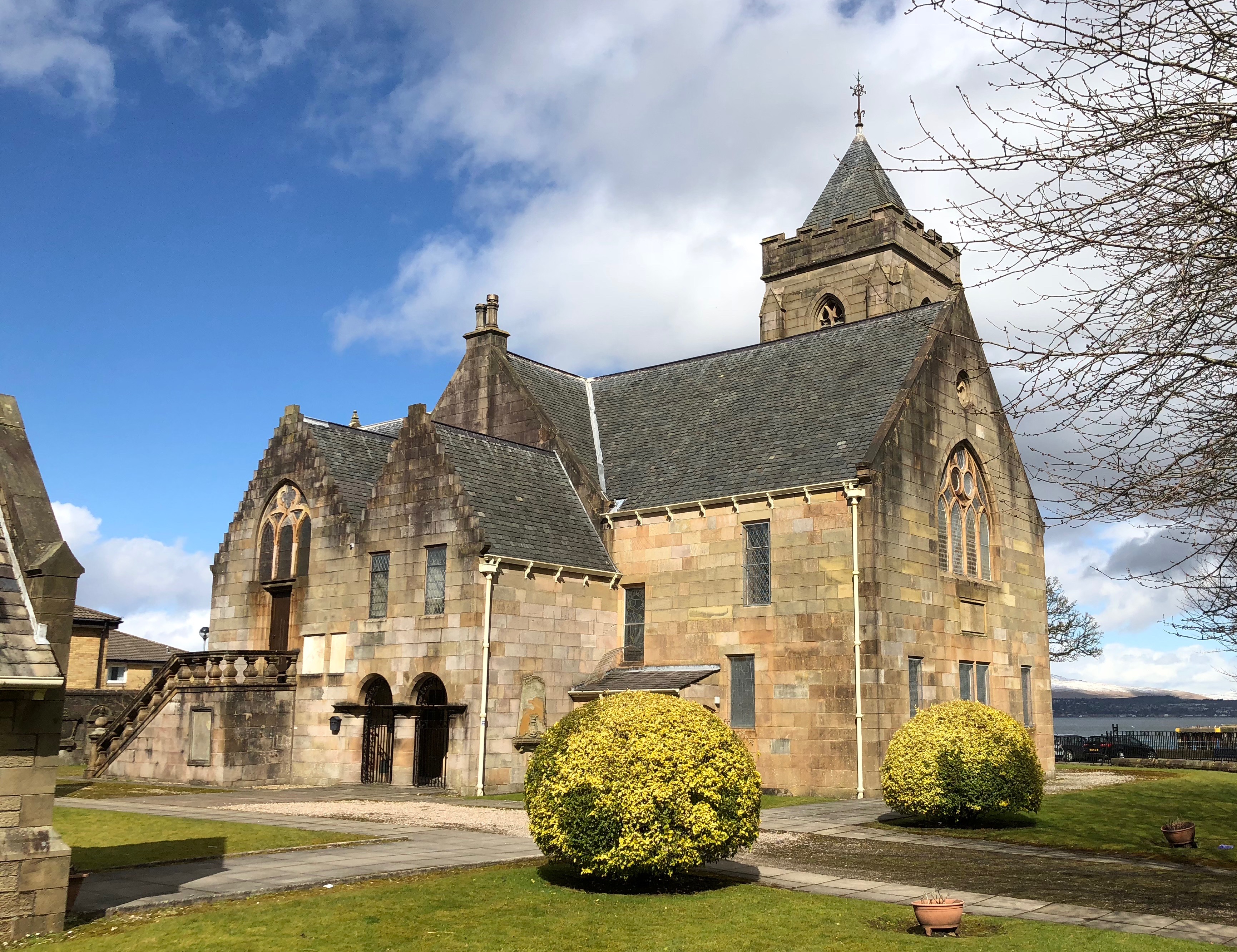
Dumbarton (; , or ; or , meaning 'fort of the Britons (historical), Britons') is a town in West Dunbartonshire, Scotland, on the north bank of the River Clyde where the River Leven, Dunbartonshire, River Leven flows into the Clyde estuary. In 2006, it had an estimated population of 19,990. Dumbarton was the capital of the ancient Kingdom of Strathclyde, and later the county town of Dunbartonshire. Dumbarton Castle, on top of Dumbarton Rock, dominates the area. Dumbarton was a royal burgh between 1222 and 1975. Dumbarton emerged from the 19th century as a centre for shipbuilding, glassmaking, and whisky production. However, these industries have since declined, and Dumbarton today is increasingly a commuter town for Glasgow east-southeast of it. Dumbarton F.C. is the local football club. Dumbarton is home to BBC Scotland's drama studio. History Dumbarton history goes back at least as far as the Iron Age and probably much earlier. It has been suggested that in Ancient Rom ... [...More Info...] [...Related Items...] OR: [Wikipedia] [Google] [Baidu] |
Perth, Scotland
Perth (; ) is a centrally located Cities of Scotland, Scottish city, on the banks of the River Tay. It is the administrative centre of Perth and Kinross council area and is the historic county town of Perthshire. It had a population of about in . There has been a settlement at Perth since prehistory, prehistoric times. It is a natural mound raised slightly above the flood plain of the Tay. The area surrounding the modern city is known to have been occupied ever since the arrival of Mesolithic hunter-gatherers. Nearby Neolithic standing stones and circles date from about 4,000 Anno Domini, BC, a period that followed the introduction of farming into the area. Close to Perth is Scone Abbey, which formerly housed the Stone of Scone (also known as the Stone of Destiny), on which the King of Scots were traditionally crowned. This enhanced the early importance of the city, and Perth became known as a "capital" of Scotland due to the frequent residence there of the royal court. Royal ... [...More Info...] [...Related Items...] OR: [Wikipedia] [Google] [Baidu] |
Paisley, Renfrewshire
Paisley ( ; ; ) is a large town situated in the west central Lowlands of Scotland. Located north of the Gleniffer Braes, the town borders the city of Glasgow to the east, and straddles the banks of the White Cart Water, a tributary of the River Clyde. It serves as the administrative centre for the Renfrewshire council areas of Scotland, council area, and is the largest town in the counties of Scotland, historic county of the Renfrewshire (historic), same name. It is often cited as "Scotland's largest town" and is the List of towns and cities in Scotland by population, fifth largest settlement in the country, although it does not have city status. The town became prominent in the 12th century, with the establishment of Paisley Abbey, an important religious hub which formerly had control over other local churches. Paisley expanded significantly during the Industrial Revolution as a result of its location beside White Cart Water, with access to the Clyde and nearby ore, mineral and ... [...More Info...] [...Related Items...] OR: [Wikipedia] [Google] [Baidu] |
Wishaw
Wishaw (; ; ) is a large town in North Lanarkshire, Scotland, on the edge of the River Clyde, Clyde Valley, south-east of Glasgow city centre. The town is part of the Motherwell and Wishaw (UK Parliament constituency), Motherwell and Wishaw constituency. It has the postal code of ML postcode area, ML2 and the dialling code List of dialling codes in the United Kingdom, 01698. The Burgh of Wishaw was formed in 1855 within Lanarkshire. The town developed extensively during the Victorian era, in particular during the Second Industrial Revolution. New industry and factories were established, including those in steel and iron production, as well as manufacturing, textiles and the processing of coal. The towns population increased as a result and new homes were built resulting in a conurbation with neighbouring Motherwell and Newmains. As a result, Wishaw formed a joint large burgh with its neighbour Motherwell from 1920 until its dissolution when Scottish local authorities were res ... [...More Info...] [...Related Items...] OR: [Wikipedia] [Google] [Baidu] |
Motherwell, Scotland
Motherwell (, ) is a town and former burgh in North Lanarkshire, Scotland, United Kingdom, south east of Glasgow. It has a population of around 32,120. Historically in the parish of Dalziel and part of Lanarkshire, Motherwell is the headquarters for North Lanarkshire Council. Geographically the River Clyde separates Motherwell from Hamilton to the west whereas the South Calder Water separates Motherwell from Carfin to the north-east and New Stevenston and Bellshill towards the north. Motherwell is also geographically attached to Wishaw and the two towns form a large urban area in North Lanarkshire, with both towns having similar populations and strong community ties. History A Roman road through central Scotland ran along Motherwell's side of the River Clyde, crossing the South Calder Water near Bothwellhaugh. At this crossing a fort and bath house were erected, but the Roman presence in Scotland did not last much later than this. Motherwell's location in the Scottish Lo ... [...More Info...] [...Related Items...] OR: [Wikipedia] [Google] [Baidu] |
Kirkcaldy
Kirkcaldy ( ; ; ) is a town and former royal burgh in Fife, on the east coast of Scotland. It is about north of Edinburgh and south-southwest of Dundee. The town had a recorded population of 49,460 in 2011, making it Fife's second-largest settlement and the List of towns and cities in Scotland by population, 11th most populous settlement in Scotland. Kirkcaldy has long been nicknamed the Lang Toun (; Scots language, Scots for "long town") in reference to the early town's main street, as indicated on maps from the 16th and 17th centuries. The street would finally reach a length of nearly , connecting the burgh to the neighbouring settlements of Linktown, Pathhead, Sinclairtown and Gallatown, which became part of the town in 1876. The formerly separate burgh of Dysart, Fife, Dysart was also later absorbed into Kirkcaldy in 1930 under an act of Parliament of the United Kingdom, Parliament. The area around Kirkcaldy has been inhabited since the Bronze Age. The first document t ... [...More Info...] [...Related Items...] OR: [Wikipedia] [Google] [Baidu] |
Kilmarnock
Kilmarnock ( ; ; , ), meaning "the church of Mernóc", is a town and former burgh in East Ayrshire situated in southwest Scotland. The town has served as the administrative centre of East Ayrshire Council since 1996 and is the region's main commercial and industrial centre. The town has a total of 284 listed buildings and structures as designed by Historic Environment Scotland, including the Dick Institute, Dean Castle, Loanhead School and the original 1898 building of Kilmarnock Academy, with post–war developments of the controversial 1970s regeneration such as The Foregate and Clydesdale Bank building being considered for listed building status. The first passenger conveying railway in Scotland originated in Kilmarnock in 1812 as a horse-drawn plateway and became known as the Kilmarnock and Troon Railway. The first printed collection of works by Scottish poet Robert Burns was published in 1786 in Kilmarnock. '' Poems, Chiefly in the Scottish Dialect'', was pub ... [...More Info...] [...Related Items...] OR: [Wikipedia] [Google] [Baidu] |
Inverness
Inverness (; ; from the , meaning "Mouth of the River Ness") is a city in the Scottish Highlands, having been granted city status in 2000. It is the administrative centre for The Highland Council and is regarded as the capital of the Highlands. Historically it served as the county town of the Counties of Scotland, county of Inverness-shire. Inverness lies near two important battle sites: the 11th century, 11th-century battle of Blar Nam Feinne, Blàr nam Fèinne against Norway which took place on the Aird, and the 18th century Battle of Culloden which took place on Culloden, Highland#Battlefield of Culloden, Culloden Moor. It is the northernmost city in the United Kingdom and lies within the Great Glen (Gleann Mòr) at its northeastern extremity where the River Ness enters the Beauly Firth. With human settlement dating back to at least 5,800 BC, Inverness was an established self-governing settlement by the 6th century with the first Royal Charter being granted by Dabíd mac ... [...More Info...] [...Related Items...] OR: [Wikipedia] [Google] [Baidu] |
Hamilton, South Lanarkshire
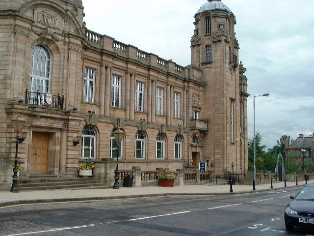
Hamilton (; ) is a large town in South Lanarkshire, Scotland. It serves as the main administrative centre of the South Lanarkshire council area. It sits south-east of Glasgow, south-west of Edinburgh and north of Carlisle. It is situated on the south bank of the River Clyde at its confluence with the Avon Water. Hamilton is the county town of the Shires of Scotland, historic county of Lanarkshire and is the location of Lanark County Buildings, the headquarters of the modern Local government in Scotland, local authority of South Lanarkshire. The town itself has a population of around 55,000, which makes it the 9th largest List of towns and cities in Scotland by population#Localities, locality in Scotland, and anchors a defined List of towns and cities in Scotland by population#Settlements, settlement of 84,000 (including neighbouring Blantyre, South Lanarkshire, Blantyre, Bothwell and Uddingston) which is the country's 8th largest. History The town of Hamilton was originally k ... [...More Info...] [...Related Items...] OR: [Wikipedia] [Google] [Baidu] |
Greenock
Greenock (; ; , ) is a town in Inverclyde, Scotland, located in the west central Lowlands of Scotland. The town is the administrative centre of Inverclyde Council. It is a former burgh within the historic county of Renfrewshire, and forms part of a contiguous urban area with Gourock to the west and Port Glasgow to the east. The 2011 UK Census showed that Greenock had a population of 44,248, a decrease from the 46,861 recorded in the 2001 UK Census. It lies on the south bank of the Clyde at the " Tail of the Bank" where the River Clyde deepens into the Firth of Clyde. History Name Place-name scholar William J. Watson wrote that "Greenock is well known in Gaelic as , dative of , 'a sunny knoll. The Scottish Gaelic place-name is relatively common, with another Greenock near Callander in Menteith (formerly in Perthshire) and yet another at Muirkirk in Kyle, now in East Ayrshire. R. M. Smith in (1921) described the alternative derivation from Common Brittonic *, ... [...More Info...] [...Related Items...] OR: [Wikipedia] [Google] [Baidu] |
Falkirk
Falkirk ( ; ; ) is a town in the Central Lowlands of Scotland, historically within the county of Stirlingshire. It lies in the Forth Valley, northwest of Edinburgh and northeast of Glasgow. Falkirk had a resident population of 32,422 at the 2001 United Kingdom census, 2001 UK Census. The population of the town had risen to 34,570 according to a 2008 estimate, making it the List of towns and cities in Scotland by population, 20th most populous settlement in Scotland. Falkirk is the main town and administrative centre of the Falkirk (council area), Falkirk council area, which has an overall population of 156,800 and inholds the nearby towns of Grangemouth, Bo'ness, Denny, Falkirk, Denny, Camelon, Larbert and Stenhousemuir, and the cluster of Falkirk Braes, Braes villages. The town is at the junction of the Forth and Clyde Canal, Forth and Clyde and Union Canal (Scotland), Union Canals, a location which proved key to its growth as a centre of heavy industry during the Industria ... [...More Info...] [...Related Items...] OR: [Wikipedia] [Google] [Baidu] |


