|
Jamestown, Rhode Island
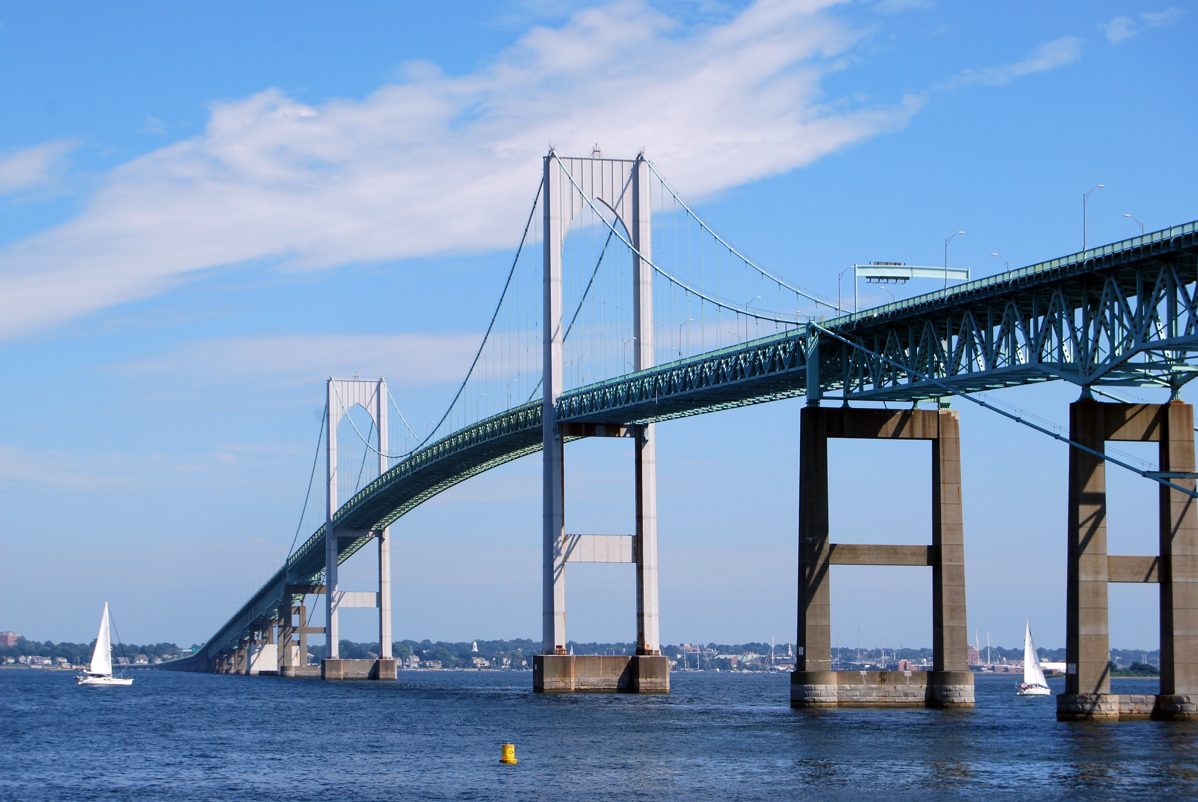
Jamestown is a town in Newport County, Rhode Island, United States. The population was 5,559 at the 2020 census. Jamestown is situated almost entirely on Conanicut Island, the second largest island in Narragansett Bay. It also includes the uninhabited Dutch Island and Gould Island. Geography According to the United States Census Bureau, the town has an area of , of which is land and is water. The total area is 72.55% water. Rhode Island Route 138 is the only state highway in Jamestown, connecting the town and island to North Kingstown to the west (over the Jamestown Verrazzano Bridge) and Newport to the east (over the Claiborne Pell Newport Bridge). History In 1524, Italian navigator Giovanni da Verrazzano and his crew visited Narragansett Bay. Dutch Island was used by fur traders , and English colonists in 1638 made arrangements with the native Americans to use Conanicut Island for grazing sheep.Buttrick, James C., ''Images of America, Jamestown'' (2003) Ferries ... [...More Info...] [...Related Items...] OR: [Wikipedia] [Google] [Baidu] |
New England Town
The town is the basic unit of Local government in the United States, local government and local division of state authority in the six New England states. Most other U.S. states lack a direct counterpart to the New England town. New England towns overlie the entire area of a state, similar to civil townships in other states where they exist, but they are fully functioning Incorporation (municipal government), municipal corporations, possessing powers similar to city, cities and county, counties in other states. Local government in New Jersey, New Jersey's system of equally powerful townships, boroughs, towns, and cities is the system which is most similar to that of New England. New England towns are often governed by a town meeting, an assembly of eligible town residents. The great majority of municipal corporations in New England are based on the town model; there, statutory forms based on the concept of a Place (United States Census Bureau), compact populated place are uncommon ... [...More Info...] [...Related Items...] OR: [Wikipedia] [Google] [Baidu] |
Rhode Island Route 138
Route 138 is a numbered State Highway running in Rhode Island. It is the longest state numbered route in Rhode Island, and the second longest highway after US 1. Route 138 begins in Exeter at the Connecticut state line in the west and runs to the Massachusetts state line in Tiverton in the east, and is the only state-numbered route to completely cross Rhode Island. Route 138 also keeps the same route number on the other side of both state lines. Route 138 is a major thoroughfare in southern Rhode Island. The route ultimately connects Interstate 95 and the University of Rhode Island campus with the island town of Jamestown, the city of Newport, as well as the Tiverton- Little Compton coastal region. At the Massachusetts border in Fall River, the route continues as Massachusetts Route 138, which extends north into the Greater Boston area. Route description Route 138 takes the following route through the State: *Exeter: ; Connecticut State line at Route 138 to Hopkinton ... [...More Info...] [...Related Items...] OR: [Wikipedia] [Google] [Baidu] |
World War I
World War I or the First World War (28 July 1914 – 11 November 1918), also known as the Great War, was a World war, global conflict between two coalitions: the Allies of World War I, Allies (or Entente) and the Central Powers. Fighting took place mainly in European theatre of World War I, Europe and the Middle Eastern theatre of World War I, Middle East, as well as in parts of African theatre of World War I, Africa and the Asian and Pacific theatre of World War I, Asia-Pacific, and in Europe was characterised by trench warfare; the widespread use of Artillery of World War I, artillery, machine guns, and Chemical weapons in World War I, chemical weapons (gas); and the introductions of Tanks in World War I, tanks and Aviation in World War I, aircraft. World War I was one of the List of wars by death toll, deadliest conflicts in history, resulting in an estimated World War I casualties, 10 million military dead and more than 20 million wounded, plus some 10 million civilian de ... [...More Info...] [...Related Items...] OR: [Wikipedia] [Google] [Baidu] |
Friends Meetinghouse (Jamestown, Rhode Island)
The Conanicut Friends Meetinghouse is a historic Quaker meeting house at the junction of North Road and Weeden Lane in Jamestown, Rhode Island.Harold Wickliffe Rose. ''The Colonial Houses of Worship in America''. New York: Hastings House, Publishers, 1963, p. 419. “273 Conanicut Friends Meeting House (1786) Conanicut Island, Jamestown County, Rhode Island” The structure was built in 1786 to replace the original meeting house destroyed by the British after they occupied Conanicut Island in 1776. The building was added to the National Register of Historic Places in 1973, and is included in the Windmill Hill Historic District. It is still used for religious services during the summer. It contains the Old Friends' Burial Ground. Image:Jamestown Rhode Island Friends.jpg, Rear view of the Friends Meeting House Image:Jamestown Rhode Island Friends Meeting House 1.jpg, Front view of the Friends Meeting House Image:Jamestown Rhode Island Friends Meeting House 2.jpg, Front view of F ... [...More Info...] [...Related Items...] OR: [Wikipedia] [Google] [Baidu] |
Beavertail Lighthouse
Beavertail Lighthouse was built in 1856 and is the premier lighthouse in Rhode Island, marking the entrance to Narragansett Bay. The lighthouse lies on the southernmost point of Conanicut Island in the town of Jamestown, Rhode Island in Beavertail State Park, on a site where beacons have stood since the early 18th century. The light provides navigation for boats and ships entering Narragansett Bay in the East Passage between Conanicut Island and Newport, Rhode Island on Aquidneck Island. Other lighthouses are visible from Beavertail Lighthouse, such as Castle Hill Lighthouse, Point Judith Light, and Rose Island Light. History Records of the town of Jamestown from 1712 make reference to a beacon, and they mention a watch house in 1705. A wooden tower was built in 1749 (attributed to architect Peter Harrison (architect), Peter Harrison), and the light became the third lighthouse established in the Thirteen Colonies, known at the time as "Newport Light". A fire was lit at the top ... [...More Info...] [...Related Items...] OR: [Wikipedia] [Google] [Baidu] |
Fort Wetherill
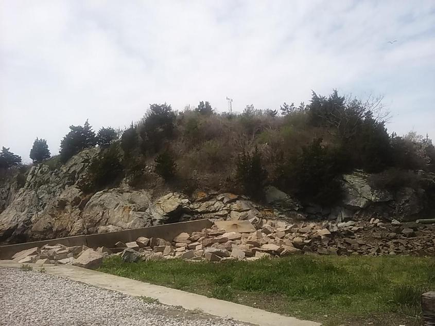
Fort Wetherill is a former coast artillery fort that occupies the southern portion of the eastern tip of Conanicut Island in Jamestown, Rhode Island. It sits atop high granite cliffs, overlooking the entrance to Narragansett Bay. Fort Dumpling from the American Revolutionary War occupied the site until it was built over by Fort Wetherill. Wetherill was deactivated and turned over to the State of Rhode Island after World War II and is now operated as Fort Wetherill State Park, a reservation managed by the Rhode Island Department of Environmental Management. Early history In 1776, an 8-gun earthwork fortification was constructed by patriot forces at the site of Dumpling Rock, which overlooks the strategic East Passage toward Newport. This old fort was occupied by American, British, and French forces for various periods of time during the American Revolutionary War. The patriots called it the Dumpling Rock Battery; the British called it Fort Dumpling Rock. The British abandon ... [...More Info...] [...Related Items...] OR: [Wikipedia] [Google] [Baidu] |
Fort Dumpling
A fortification (also called a fort, fortress, fastness, or stronghold) is a military construction designed for the defense of territories in warfare, and is used to establish rule in a region during peacetime. The term is derived from Latin ("strong") and ("to make"). From very early history to modern times, defensive walls have often been necessary for cities to survive in an ever-changing world of invasion and conquest. Some settlements in the Indus Valley Civilization were the first small cities to be fortified. In ancient Greece, large cyclopean stone walls fitted without mortar had been built in Mycenaean Greece, such as the ancient site of Mycenae. A Greek '' phrourion'' was a fortified collection of buildings used as a military garrison, and is the equivalent of the Roman castellum or fortress. These constructions mainly served the purpose of a watch tower, to guard certain roads, passes, and borders. Though smaller than a real fortress, they acted as a border gu ... [...More Info...] [...Related Items...] OR: [Wikipedia] [Google] [Baidu] |


