|
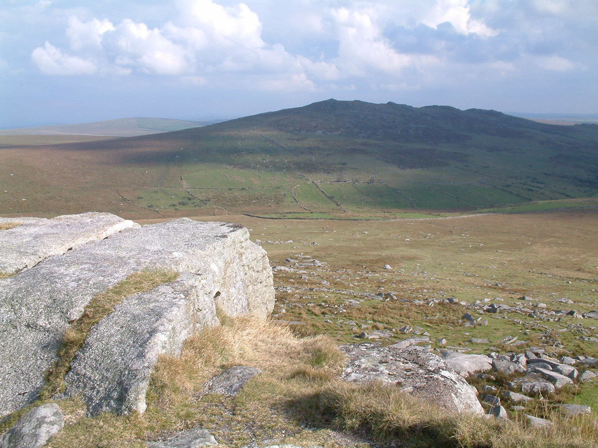
Hills Of Cornwall
This is a list of hills in Cornwall based on data compiled in various sources, but particularly th''Database of British and Irish Hills'' Jackson's ''More Relative Hills of Britain'' and the Ordnance Survey 1:25,000 ''Explorer'' and 1:50,000 ''Landranger'' map series. Many of these hills are important historic, archaeological and nature conservation sites, as well as popular hiking and tourist destinations in the county of Cornwall in southwest England. Colour key The table is colour-coded based on the classification or "listing" of the hill. The three types that occur in Cornwall are Marilyn (hill), Marilyns, HuMPs and TuMPs, listings based on topographical prominence. "Prominence" correlates strongly with the subjective significance of a summit. Peaks with low prominences are either subsidiary tops of a higher summit or relatively insignificant independent summits. Peaks with high prominences tend to be the highest points around and likely to have extraordinary views. A Marilyn ... [...More Info...] [...Related Items...] OR: [Wikipedia] [Google] [Baidu] |
Ordnance Survey
The Ordnance Survey (OS) is the national mapping agency for Great Britain. The agency's name indicates its original military purpose (see Artillery, ordnance and surveying), which was to map Scotland in the wake of the Jacobite rising of 1745. There was also a more general and nationwide need in light of the potential threat of invasion during the Napoleonic Wars. Since 1 April 2015, the Ordnance Survey has operated as Ordnance Survey Ltd, a state-owned enterprise, government-owned company, 100% in public ownership. The Ordnance Survey Board remains accountable to the Secretary of State for Science, Innovation and Technology. It was also a member of the Public Data Group. Paper maps represent only 5% of the company's annual revenue. It produces digital map data, online route planning and sharing services and mobile apps, plus many other location-based products for business, government and consumers. Ordnance Survey mapping is usually classified as either "Scale (map), lar ... [...More Info...] [...Related Items...] OR: [Wikipedia] [Google] [Baidu] |

