|
Havasupai
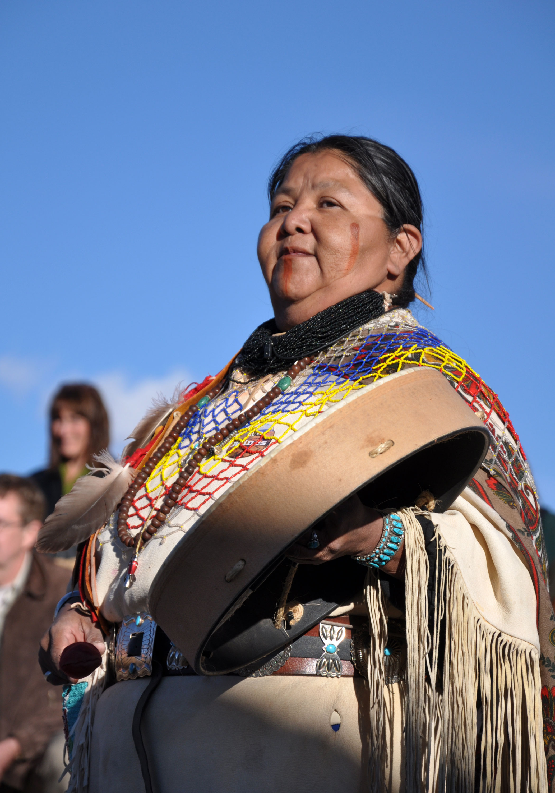
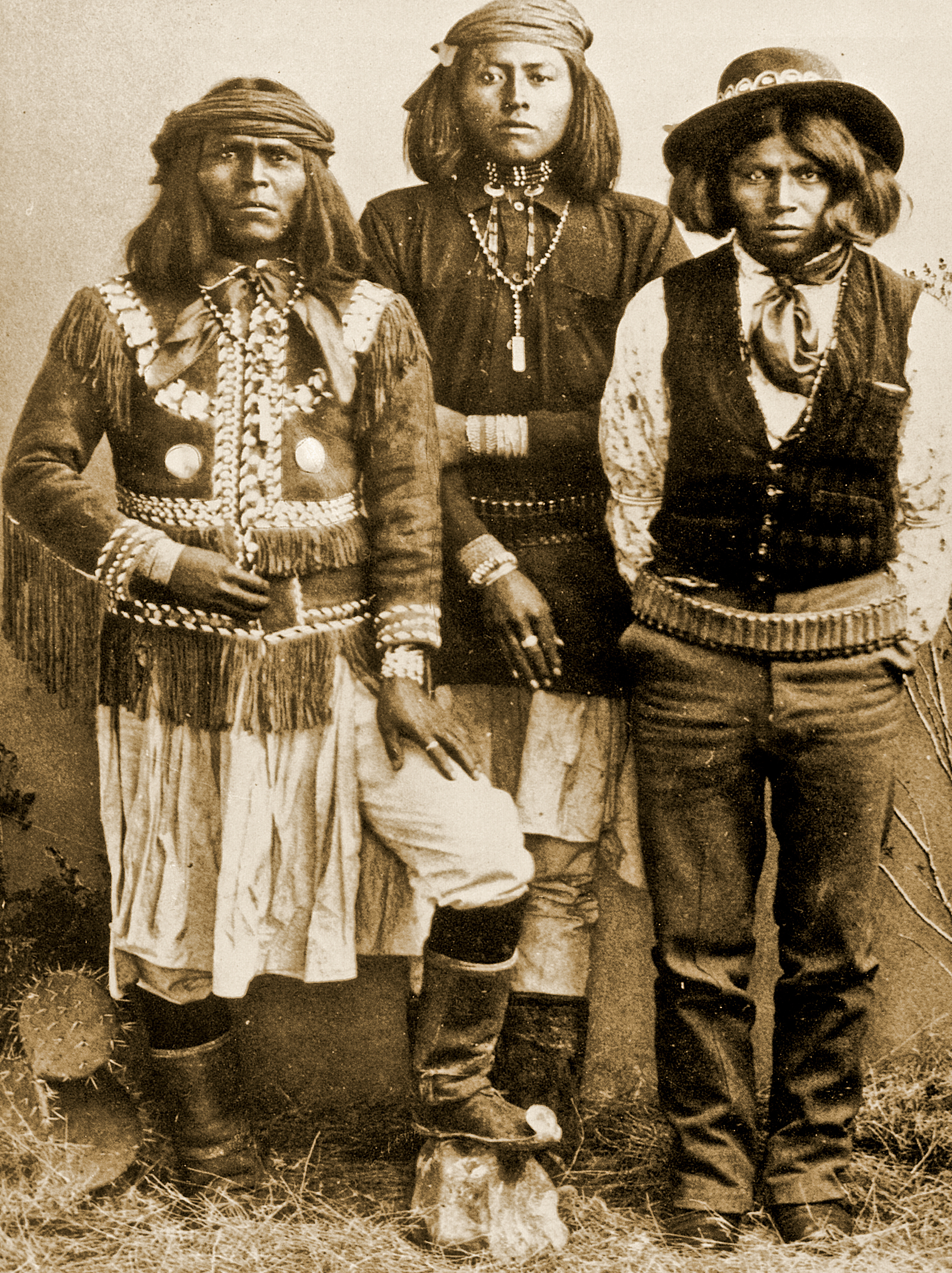
The Havasupai people (Havasupai: ''Havsuw' Baaja'') are a Native American people and tribe who have lived in the Grand Canyon for at least the past 800 years. Their name means "people of the blue-green water", referring to Havasu Creek, a tributary of the Colorado. Located primarily in an area known as Havasu Canyon, this Yuman-speaking population once laid claim to an area the size of Delaware (). In 1882, however, the United States federal government forced the tribe to abandon all but of its land. A silver rush and the Atchison, Topeka and Santa Fe Railway in effect destroyed the fertile land. Furthermore, the inception of the Grand Canyon as a national park in 1919 pushed the Havasupai to the brink, as their land was consistently being used by the National Park Service. Throughout the 20th century, the tribe used the US judicial system to fight for the restoration of the land. In 1975, the tribe succeeded in regaining approximately of their ancestral land with the pass ... [...More Info...] [...Related Items...] OR: [Wikipedia] [Google] [Baidu] |
Havasupai Indian Reservation
The Havasupai Indian Reservation is a Native American reservation for the Havasupai people, bordering Grand Canyon National Park, in Coconino County in Arizona, United States. It is considered one of America's most remote Indian reservations. The reservation is governed by a seven-member tribal council, led by a chairman who is elected from among the members of the council. The capital of the reservation is Supai, situated at the bottom of Cataract Canyon, one of the tributary canyons of the Grand Canyon. Havasupai is a combination of the words '' Havasu'' (meaning "blue-green water") and ''pai'' (meaning "people"), thus meaning "people of the blue-green waters". History The Havasupai lived, farmed, and hunted throughout their traditional territory, comprising the canyons and plateaus in and around Havasu Canyon, for centuries before the arrival of Europeans. They farmed in the canyons in spring and summer, and moved to the plateau lands for fall and winter. In the 1870s, when ... [...More Info...] [...Related Items...] OR: [Wikipedia] [Google] [Baidu] |
Supai, Arizona
Supai () is a census-designated place (CDP) in Coconino County, Arizona, Coconino County, Arizona, United States, within the Grand Canyon. As of the 2010 United States Census, 2010 census, the CDP had a population of 208. The capital of the Havasupai Indian Reservation, Supai is the only place in the United States where mail is still carried in and out by mules. Supai has been referred to as "the most remote community" in the contiguous United States by the U.S. Department of Agriculture. It is accessible only by helicopter, on foot or by mule. Supai is from the nearest road and has no automobiles in the community. History In 1910 there was a flood of Supai which affected the town. In the 1960s Martin Goodfriend, a tourist, began to advocate for the Supai people, and a columnist of the ''Arizona Republic'', Don Dedera, wrote articles about Goodfriend's findings. Clippingat Newspapers.com. Dedera stated that Goodfriend countered a view that Supai was a kind of "Shangri-la". To ... [...More Info...] [...Related Items...] OR: [Wikipedia] [Google] [Baidu] |
Hualapai People
The Hualapai ( , ) are a federally recognized Native American tribe in Arizona with about 2300 enrolled citizens. Approximately 1353 enrolled citizens reside on the Hualapai Reservation, which spans over three counties in Northern Arizona ( Coconino, Yavapai, and Mohave). The name, meaning "people of the tall pines", is derived from , the Hualapai word for ponderosa pineThe Hualapai Tribe Website Accessed 2020-01-16 and "people". Their traditional territory is a stretch along the pine-clad southern side of the and the with the tribal capital at [...More Info...] [...Related Items...] OR: [Wikipedia] [Google] [Baidu] |
Havasu Creek
Havasu Creek is a stream in the U.S. state of Arizona. It is a tributary to the Colorado River, which it joins in the Grand Canyon. It primarily runs through the Havasupai Indian Reservation. It is sometimes called Cataract Creek, and should not be confused with Cataract Canyon, Utah. Stream course and features Havasu Creek is the second largest tributary of the Colorado River in Grand Canyon National Park. The drainage basin for Havasu Creek is about . It includes the town of Williams, Arizona, and Grand Canyon Village. Havasu Creek starts out above the canyon wall as a small trickle of snow run-off and rain water. This water meanders on the plains above the canyon for about until it enters Cataract Canyon (also known as Havasu Canyon). It then reaches Havasu Springs, where an underground source feeds the creek. This spring can be accessed by heading upstream when the creek is first encountered. Water temperature varies from the low seventies during the warmer half of t ... [...More Info...] [...Related Items...] OR: [Wikipedia] [Google] [Baidu] |
Grand Canyon
The Grand Canyon is a steep-sided canyon carved by the Colorado River in Arizona, United States. The Grand Canyon is long, up to wide and attains a depth of over a mile (). The canyon and adjacent rim are contained within Grand Canyon National Park, the Kaibab National Forest, Grand Canyon–Parashant National Monument, the Hualapai, Hualapai Indian Reservation, the Havasupai Indian Reservation and the Navajo Nation. President Theodore Roosevelt was a major proponent of the preservation of the Grand Canyon area and visited it on numerous occasions to hunt and enjoy the scenery. Nearly two billion years of Earth's geological history have been exposed as the Colorado River and its tributaries cut their Stream channel, channels through layer after layer of rock while the Colorado Plateau was Tectonic uplift, uplifted. [...More Info...] [...Related Items...] OR: [Wikipedia] [Google] [Baidu] |
Yavapai People
The Yavapai ( ) are a Native Americans in the United States, Native American tribe in Arizona. Their Yavapai language belongs to the Upland Yuman languages, Yuman branch of the proposed Hokan languages, Hokan language family. Today Yavapai people are enrolled in the following federally recognized tribes: * Fort McDowell Yavapai Nation * Yavapai-Apache Nation of the Camp Verde Indian Reservation * Yavapai-Prescott Indian Tribe. The Yavapai historically controlled about 10 million acres of land in west-central Arizona. Their lands bordered the San Francisco Peaks to the north, the Pinaleno Mountains and Mazatzal Mountains to the southeast, and the Colorado River to the west, and almost to the Gila River and the Salt River (Arizona), Salt River to the south. The Yavapai historically were divided into geographically distinct bands or subtribes: * Kewevkepaya, Gwev G’paaya (southeastern) * Tolkepaya,Braatz''Surviving Conquest'' p. 27. Tolkepaye (western) * Wipukepa, Wiipukpaa (nor ... [...More Info...] [...Related Items...] OR: [Wikipedia] [Google] [Baidu] |
Yavapai
The Yavapai ( ) are a Native American tribe in Arizona. Their Yavapai language belongs to the Upland Yuman branch of the proposed Hokan language family. Today Yavapai people are enrolled in the following federally recognized tribes: * Fort McDowell Yavapai Nation * Yavapai-Apache Nation of the Camp Verde Indian Reservation * Yavapai-Prescott Indian Tribe. The Yavapai historically controlled about 10 million acres of land in west-central Arizona. Their lands bordered the San Francisco Peaks to the north, the Pinaleno Mountains and Mazatzal Mountains to the southeast, and the Colorado River to the west, and almost to the Gila River and the Salt River to the south. The Yavapai historically were divided into geographically distinct bands or subtribes: * Kewevkepaya, Gwev G’paaya (southeastern) * Tolkepaya,Braatz''Surviving Conquest'' p. 27. Tolkepaye (western) * Wipukepa, Wiipukpaa (northeastern), also known as the Verde Valley Yavapai * Yavepé, Yaavpe (northwestern) ... [...More Info...] [...Related Items...] OR: [Wikipedia] [Google] [Baidu] |
Francisco Garcés
Francisco Hermenegildo Tomás Garcés (April 12, 1738 – July 18, 1781) was a Spanish Franciscan friar who served as a missionary and explorer in the colonial Viceroyalty of New Spain. He explored much of the southwestern region of North America, including present day Sonora and Baja California in Mexico, and the U.S. states of Arizona and California. He was killed along with his companion friars during an uprising by the Native American population, and they have been declared martyrs for the faith by the Catholic Church. The cause for his canonization was opened by the Church. History Garcés was born April 12, 1738, in Morata de Jalón, Aragon, north-central Spain. He entered the Franciscan Order about 1758 and was ordained a priest in 1763 in Spain.mojavedesert.net: Garcés . accessed 1.1.2012 New Spain |


