|
Fenway–Kenmore
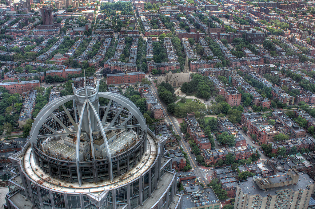
Fenway–Kenmore is an officially recognized neighborhood of Boston, Massachusetts. It is considered one neighborhood for administrative purposes, but it is composed of numerous distinct sections (East Fenway/Symphony, West Fenway, Audubon Circle, Kenmore Square) that are almost always referred to as "Fenway", "the Fenway", "Kenmore Square", or "Kenmore". Fenway is named after the Fenway (parkway), Fenway, the main thoroughfare laid out by Frederick Law Olmsted. Fenway–Kenmore's population was 40,898 as of the 2010 Boston Redevelopment Authority Census, while its land area was defined to be . Location On the east, Fenway–Kenmore is separated from the Back Bay neighborhood by Charlesgate West, the Massachusetts Turnpike, Dalton Avenue and Belvidere Street. The South End, Boston, Massachusetts, South End is across Huntington Avenue near The First Church of Christ, Scientist headquarters, a major tourist attraction. East Fenway (generally south of the Massachusetts Turnpike) i ... [...More Info...] [...Related Items...] OR: [Wikipedia] [Google] [Baidu] |
Fenway (parkway)
The Fenway is a mostly One-way traffic, one-way, one-to three-lane parkway that runs along the southern and eastern edges of the Back Bay Fens in the Fenway–Kenmore neighborhood of Boston, in the east-central part of the U.S. state of Massachusetts. As part of the Emerald Necklace park system mainly designed by Frederick Law Olmsted in the late 19th century, the Fenway, along with the Back Bay Fens and Park Drive (parkway), Park Drive, connects the Commonwealth Avenue (Boston), Commonwealth Avenue Mall to the Riverway. For its entire length, the parkway travels along the Muddy River (Massachusetts), Muddy River and is part of the Metropolitan Park System of Greater Boston. Like others in the park system, it is maintained by the Department of Conservation and Recreation (Massachusetts), Massachusetts Department of Conservation and Recreation. The first parkway of the Emerald Necklace to be constructed, the Fenway's name was coined from an early description of the park that it ... [...More Info...] [...Related Items...] OR: [Wikipedia] [Google] [Baidu] |
Fenway Park
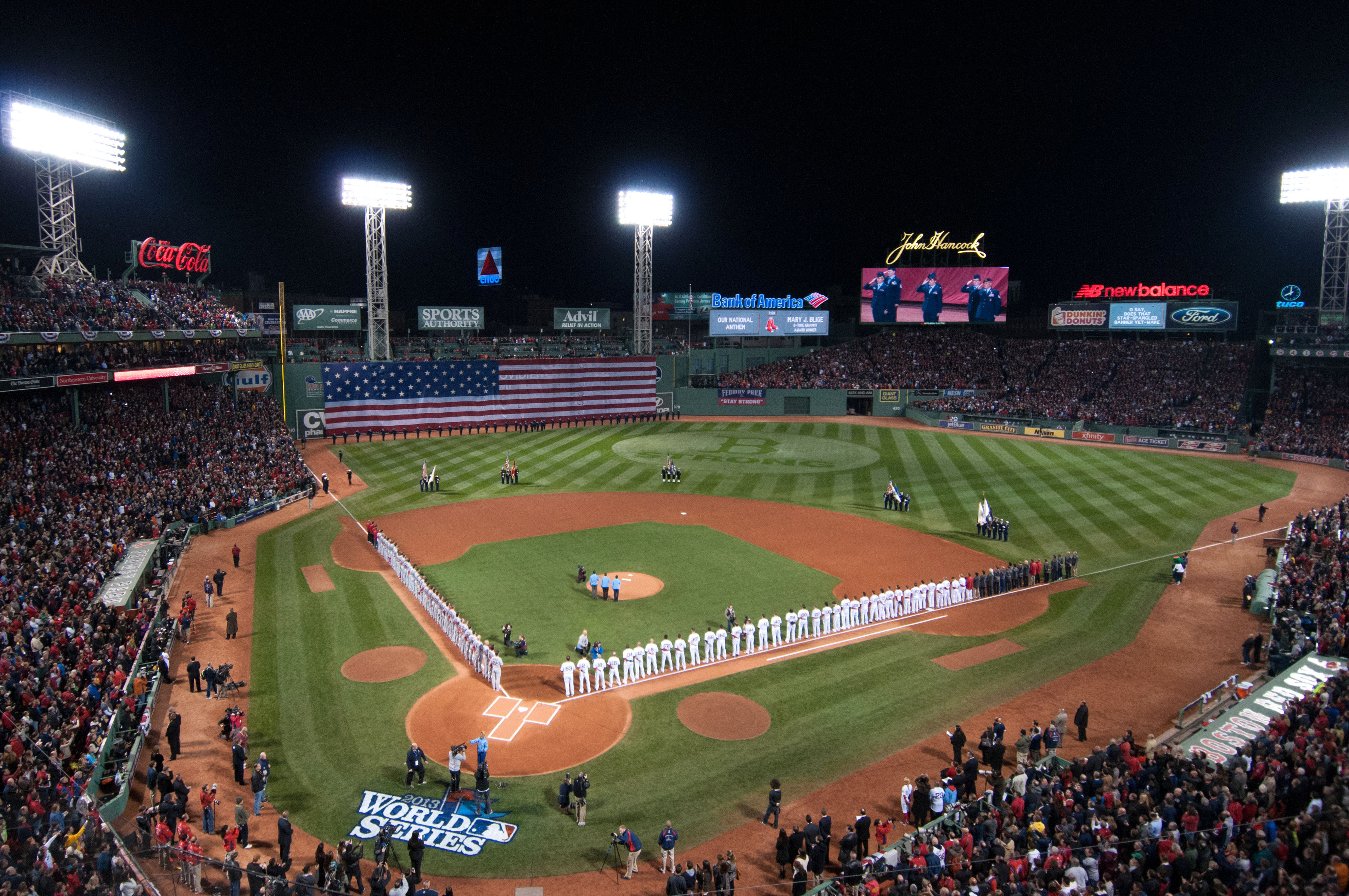
Fenway Park is a ballpark located in Boston, Massachusetts, less than one mile from Kenmore Square. Since 1912, it has been the home field of Major League Baseball's (MLB) Boston Red Sox. While the stadium was built in 1912, it was substantially rebuilt in 1934, and underwent major renovations and modifications in the 21st century. It is the List of current Major League Baseball stadiums, oldest active ballpark in MLB. Because of its age and constrained location in Boston's dense Fenway–Kenmore, Fenway–Kenmore neighborhood, the park has many quirky features, including "The Triangle", Pesky's Pole, and the Green Monster in left field. It is the fifth-smallest among MLB ballparks by seating capacity, second-smallest by total capacity, and one of nine that cannot accommodate at least 40,000 spectators. Fenway has hosted the World Series eleven times, with the Red Sox winning six of them and the Atlanta Braves, Boston Braves winning one. Besides baseball games, it has also bee ... [...More Info...] [...Related Items...] OR: [Wikipedia] [Google] [Baidu] |
Kenmore Square
Kenmore Square is a square in the Fenway–Kenmore neighborhood of Boston, Massachusetts. It is formed by the crossing of Beacon Street, Commonwealth Avenue, and Brookline Avenue. It is the eastern terminus of U.S. Route 20, the longest U.S. Highway. The Citgo sign is a prominent landmark in Kenmore Square, and Fenway Park is just to the south. Kenmore station is located under the square, with a surface bus terminal inside the square. History In early Colonial times the land that is now Kenmore Square was an uninhabited corner of the mainland where the narrow Charles River fed into the wide, marshy Back Bay. It was part of the colonial settlement of Boston until 1705, when the hamlet of Muddy River incorporated as the independent town of Brookline. The land ended up in Brookline because the Muddy River - several blocks to the east - formed the eastern border of the new city. An 1821 map shows the area known as Sewell's Point, with Great Dam, Brighton Road (Brighton Ave ... [...More Info...] [...Related Items...] OR: [Wikipedia] [Google] [Baidu] |
Boston
Boston is the capital and most populous city in the Commonwealth (U.S. state), Commonwealth of Massachusetts in the United States. The city serves as the cultural and Financial centre, financial center of New England, a region of the Northeastern United States. It has an area of and a population of 675,647 as of the 2020 United States census, 2020 census, making it the third-largest city in the Northeastern United States after New York City and Philadelphia. The larger Greater Boston metropolitan statistical area has a population of 4.9 million as of 2023, making it the largest metropolitan area in New England and the Metropolitan statistical area, eleventh-largest in the United States. Boston was founded on Shawmut Peninsula in 1630 by English Puritans, Puritan settlers, who named the city after the market town of Boston, Lincolnshire in England. During the American Revolution and American Revolutionary War, Revolutionary War, Boston was home to several seminal events, incl ... [...More Info...] [...Related Items...] OR: [Wikipedia] [Google] [Baidu] |
Boston University
Boston University (BU) is a Private university, private research university in Boston, Massachusetts, United States. BU was founded in 1839 by a group of Boston Methodism, Methodists with its original campus in Newbury (town), Vermont, Newbury, Vermont. It was chartered in Boston in 1869. The university is a member of the Association of American Universities and the Boston Consortium for Higher Education. The university has nearly 38,000 students and more than 4,000 faculty members and is one of Boston's largest employers. It offers bachelor's degrees, master's degrees, doctorates, and medical, dental, business, and law degrees through 17 schools and colleges on three urban campuses. The university is nonsectarian, though it retains its historical affiliation with the United Methodist Church. The main campus is situated along the Charles River in Boston's Fenway–Kenmore and Allston, Massachusetts, Allston neighborhoods, while the Boston University Medical Campus is locate ... [...More Info...] [...Related Items...] OR: [Wikipedia] [Google] [Baidu] |
Back Bay Fens
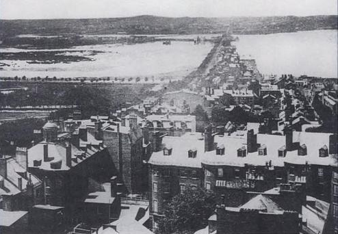
The Back Bay Fens, often simply referred to as "the Fens," is a parkland and urban wild in Boston, Massachusetts, United States. It was established in 1879. Designed by Frederick Law Olmsted to serve as a link in the Emerald Necklace park system, the Fens gives its name to the Fenway-Kenmore neighborhood. History The Fens is a large picturesque park that forms part of Boston's Emerald Necklace. It is essentially an ancient spot of saltwater marshland that has been surrounded by dry land, disconnected from the tides of the Atlantic Ocean, and landscaping, landscaped into a park with fresh water within. The park is also known as the Fens or the Fenway. The latter term can also refer to either Fenway – Kenmore, the surrounding neighborhood or Fenway (parkway), the parkway on its southern border. When Boston was settled in the early 17th century the Shawmut Peninsula on which it was built was connected to Roxbury, Massachusetts, Roxbury by a spit of sandy ground called "Boston ... [...More Info...] [...Related Items...] OR: [Wikipedia] [Google] [Baidu] |
South End, Boston, Massachusetts
The South End is a neighborhood in Boston, Massachusetts, United States which is bordered by Back Bay, Chinatown, and Roxbury. It is distinguished from other neighborhoods by its Victorian-style houses and the parks in and around the area. The South End is the largest intact Victorian row-house district in the country, covering over . It has eleven residential parks. In 1973, the South End was listed on the National Register of Historic Places. Much of the neighborhood was originally marshlands in Boston's South Bay. After it was filled in, construction began on January 7, 1849. It is home to diverse groups, including immigrants, young families and professionals, and it is popular with Boston's gay and lesbian community. The South End has been characterized by diversity since the 1880s, with substantial Irish, Jewish, African-American, Puerto Rican (in the San Juan Street area), Chinese, Italian, and Greek populations. Its 2010 population was 55.2 percent white, 13.3 percent ... [...More Info...] [...Related Items...] OR: [Wikipedia] [Google] [Baidu] |
Back Bay
Back Bay is an officially recognized Neighborhoods in Boston, neighborhood of Boston, Massachusetts, built on Land reclamation, reclaimed land in the Charles River basin. Construction began in 1859, as the demand for luxury housing exceeded the availability in the city at the time, and the area was fully built by around 1900. It is most famous for its rows of Victorian architecture, Victorian brownstone homes—considered one of the best preserved examples of 19th-century urban design in the United States—as well as numerous architecturally significant individual buildings, and cultural institutions such as the Boston Public Library, and Boston Architectural College. Initially conceived as a residential-only area, commercial buildings were permitted from around 1890, and Back Bay now features many office buildings, including the John Hancock Tower, Boston's tallest skyscraper. It is also considered a fashionable shopping destination (especially Newbury Street, Newbury and Boyls ... [...More Info...] [...Related Items...] OR: [Wikipedia] [Google] [Baidu] |
Mission Hill, Boston, Massachusetts
Mission Hill is a square mile (2 square km), primarily residential neighborhood of Boston, bordered by Roxbury, Jamaica Plain and Fenway-Kenmore and the town of Brookline. The neighborhood has two main streets, namely Tremont Street and Huntington Avenue. It is served by several stations on the MBTA's Green Line E branch, as well as Roxbury Crossing station on the Orange Line. Mission Hill is home to several hospitals and universities, including Brigham and Women's Hospital and New England Baptist Hospital. Though first settled in the 17th century, the neighborhood is known for its brick row houses and triple decker homes of the late 19th century. It is also home to several community centers, several neighborhood groups, one branch of the Boston Public Library, one high school, and one newspaper. The neighborhood's population was estimated at 15,883 in 2011. Of these 42.7% are white, 18.0% are black, 17.5% are Hispanic, 14.1% are Asian, 1.2% are multiracial, and 1.4% ide ... [...More Info...] [...Related Items...] OR: [Wikipedia] [Google] [Baidu] |
Longwood Medical Area
The Longwood Medical and Academic Area, also known as Longwood Medical Area, LMA, or simply Longwood, is a medical campus in Boston, Massachusetts. Flanking Longwood Avenue, LMA is adjacent to the Fenway–Kenmore, Audubon Circle, and Mission Hill neighborhoods, as well as the town of Brookline. The campus houses several schools associated with Harvard University, including Harvard Medical School, Harvard T.H. Chan School of Public Health, Harvard School of Dental Medicine, Harvard's teaching hospitals, and several institutions not formally affiliated with Harvard. Long known as a global center of research, institutions in the Longwood Medical Area secured over $1.2 billion in NIH funds in 2018, which exceeds NIH funding received by 44 states. Hospitals and research institutions * Beth Israel Deaconess Medical Center * Boston Children's Hospital * Brigham and Women's Hospital * Dana–Farber Cancer Institute * Joslin Diabetes Center * Massachusetts Mental Health Center * New ... [...More Info...] [...Related Items...] OR: [Wikipedia] [Google] [Baidu] |
Brookline, Massachusetts
Brookline () is an affluent town in Norfolk County, Massachusetts, United States, and part of the Greater Boston, Boston metropolitan area. An exclave of Norfolk County, Brookline borders six of Boston's neighborhoods: Brighton, Boston, Brighton, Allston, Fenway–Kenmore, Mission Hill, Boston, Mission Hill, Jamaica Plain, and West Roxbury. The city of Newton, Massachusetts, Newton borders Brookline to the west. It is known for being the birthplace of John F. Kennedy. The land which comprises what is today Brookline was first settled in 1638 as a Hamlet (place), hamlet in Boston, known as Muddy River (as it was settled on the west side of the Muddy River (Massachusetts), river of the same name). It was incorporated as a separate town with the name of Brookline in 1705. In 1873, Brookline had a Boston–Brookline annexation debate of 1873, contentious referendum in which it voted to remain independent from Boston. The later annexations of Brighton, Boston, Brighton and West Roxbur ... [...More Info...] [...Related Items...] OR: [Wikipedia] [Google] [Baidu] |


