|
Diyala Governorate
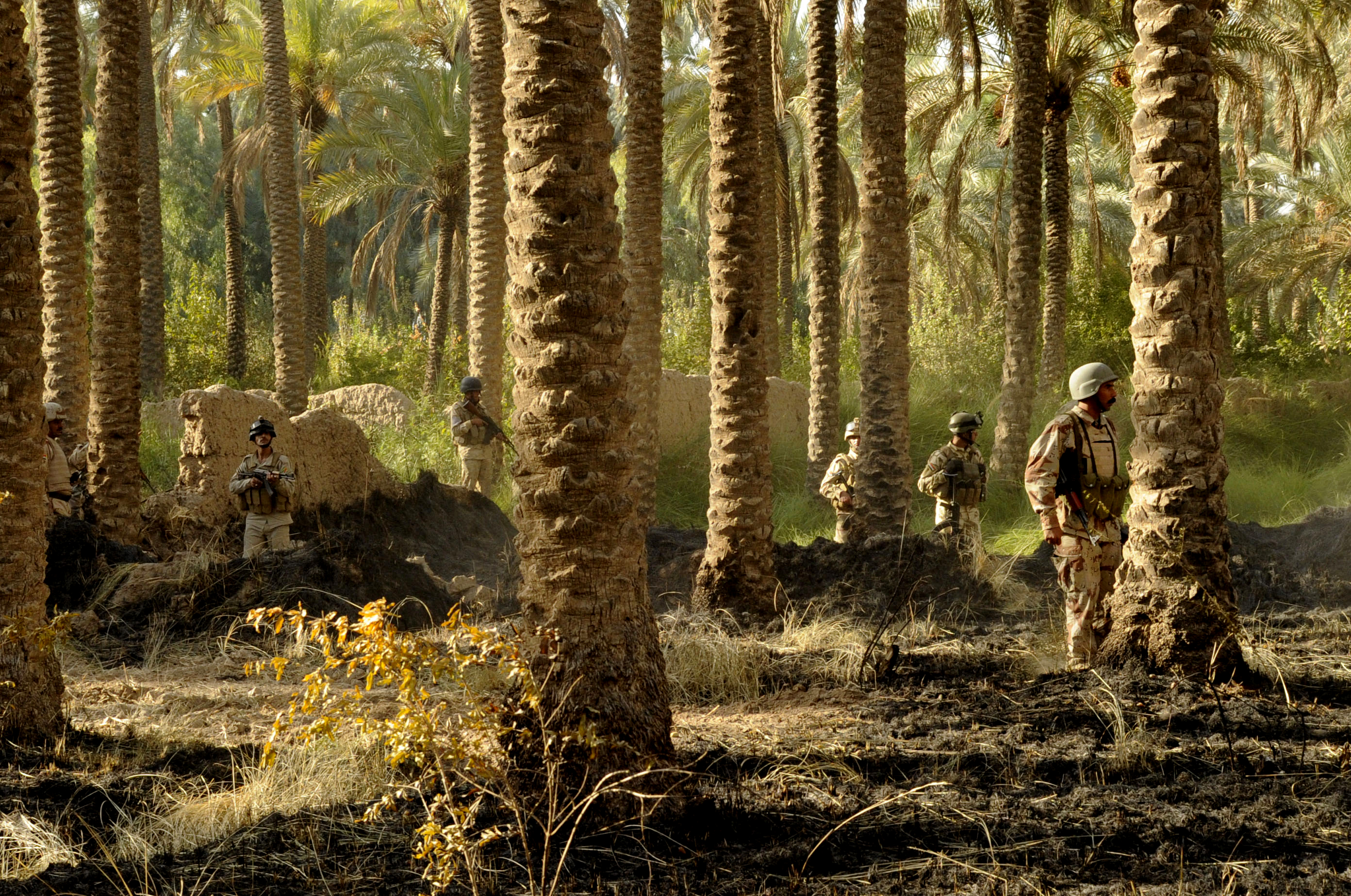
Diyala Governorate ( ) or Diyala Province is a Governorates of Iraq, governorate in northeastern Iraq. Provincial Government *Governor: Muthanna al-Tamimi *Deputy Governor: Mohammed Jassim al-Jubouri Council Geography Diyala Governorate extends to the northeast of Baghdad as far as the Iran–Iraq border, Iranian border. Its Capital (political), capital is Baqubah. It covers an area of 17,685 square kilometres (6,828 sq mi). A large portion of the province is drained by the Diyala River, a major tributary of the Tigris. Because of its proximity to two major sources of water, Diyala's main industry is agriculture, primarily Phoenix dactylifera, dates grown in large groves. The province also contains one of the largest olive groves in the Middle East. It is also recognized as the Orange (fruit), orange capital of the Middle East. The Hamrin Mountains pass through the governorate. Population The governorate is home to a diverse population of Arabs, Kurds and Ira ... [...More Info...] [...Related Items...] OR: [Wikipedia] [Google] [Baidu] |
Khanaqin District
Khanaqin District (, ) is a district in Diyala Governorate, Iraq. The district is a part of the Disputed territories of Northern Iraq. The Alwand River runs through Khanaqin District before joining the Diyala River The Diyala (Arabic: ; ; Farsi: , ) is a river and tributary of the Tigris. It is formed by the confluence of the Sirwan and Tanjaro rivers in Darbandikhan Dam in the Sulaymaniyah Governorate of Northern Iraq. It covers a total distance of . .... The district population was estimated to be 175,000 in 2003. The population of the Judicial Center increased from 20,000 in 2003 to more than 160,000 in 2011. References External links Khanaqin, once known as ‘city of tolerance,’ still open to Arab refugeesWikimapia Xaneqîn District (KRG)Home - NGO Coordination Committee for Iraq - Diyala Governorate Profile Jan 2016 Districts of Diyala Province Khanaqin {{iraq-geo-stub ... [...More Info...] [...Related Items...] OR: [Wikipedia] [Google] [Baidu] |
Governorates Of Iraq
Iraq consists of 19 governorates (; ), also known as "provinces". Per the Iraqi constitution, governorates can form a Federal regions of Iraq, federal region. Four governorates, Erbil, Sulaymaniyah, Halabja and Duhok, constitute the semi-autonomous Kurdistan Region. Baghdad Governorate, Baghdad (which is the most populous) and Basra Governorate, Basra are the oldest governorates. The second most-populous one, Nineveh Governorate, Ninawa (or Nineveh) is in the upland region and has a cooler climate of the north-west. There have been numerous calls to recognize Halabja Governorate since 1999. It was recognized as an official governorate of the Kurdistan Region in 2014, and the Council of Ministers (Iraq), Council of Ministers approved a bill twice in 2013, and 2023. The Council of Representatives of Iraq officially approved Halabja as Iraq's 19th governorate on 14 April 2025. On 27 April 2025, Baghdad Today reported of an ongoing government initiative to convert Tel Afar District ... [...More Info...] [...Related Items...] OR: [Wikipedia] [Google] [Baidu] |
Defense
Defense or defence may refer to: Tactical, martial, and political acts or groups * Defense (military), forces primarily intended for warfare * Civil defense, the organizing of civilians to deal with emergencies or enemy attacks * Defense industry, industry which manufactures and sells weapons and military technology * Self-defense, the use of force to defend oneself * Haganah (Hebrew for "The Defence"), a paramilitary organization in British Palestine * National security, security of a nation state, its citizens, economy, and institutions, as a duty of government ** Defence diplomacy, pursuit of foreign policy objectives through the peaceful employment of defence resources ** Ministry of defence or department of defense, a part of government which regulates the armed forces ** Defence minister, a cabinet position in charge of a ministry of defense * International security, measures taken by states and international organizations to ensure mutual survival and safety Sports * Defe ... [...More Info...] [...Related Items...] OR: [Wikipedia] [Google] [Baidu] |
Nahrawan
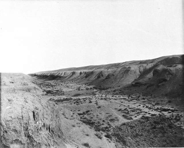
The Nahrawan Canal () was a major irrigation system of the Sasanian and early Islamic periods in central Iraq, along the eastern banks of the Tigris and the lower course of the Diyala River. Created in the 6th century, it reached its peak under the Abbasid Caliphate, when it served the main water supply for the Abbasid capital of Baghdad, while the regions irrigated by it served as the city's main breadbasket. Its destruction and progressive abandonment from the mid-10th century onwards mirror the Abbasid Caliphate's decline. History The first irrigation works along the Diyala River were undertaken in Parthian times. Indeed, it may be that the lower part of the Nahrawan Canal was originally the lower course of the Diyala. The large-scale canal system of early medieval times however was created in the reign of the Sassanid ruler Khosrow I (), who also established it as a separate administrative district (). A treasury and mint were possibly established there. In early Islamic tim ... [...More Info...] [...Related Items...] OR: [Wikipedia] [Google] [Baidu] |
Mandali District
Mandali (Arabic: مندلي, Kurdish: مەندەلی, romanized: Mendelî, Turkish: Mandali) is one of the disputed areas between Baghdad and Erbil and belongs to Diyala Governorate administratively. It is 93km away from the city of Baqubah, the center of Diyala Governorate. It is inhabited by a mixture of Arabs, Kurds and Turkmen. Mandali borders Khanaqin district from the north, and lies on the border strip with Iran from the east, and Qazaniyah district, the center of Baladruz district, from the west. In 1987 Mandali was a district, and Baladruz and Qazaniya sub-districts belonged to mandali district, then Baladruz was transformed into a district and Mandali became a Subdistrict of it till recently when it gained district status. History Mandali district was inhabited by a majority of the Feyli Kurds, who were subjected to a large-scale campaign of displacement, were deprived from their Iraqi citizenship and properties by the Baathist regime in the late 1970s and early ... [...More Info...] [...Related Items...] OR: [Wikipedia] [Google] [Baidu] |
Balad Ruz District
Balad Ruz District () is a district of Diyala Governorate, Iraq Iraq, officially the Republic of Iraq, is a country in West Asia. It is bordered by Saudi Arabia to Iraq–Saudi Arabia border, the south, Turkey to Iraq–Turkey border, the north, Iran to Iran–Iraq border, the east, the Persian Gulf and .... Cities and villages include Balad Ruz, Turki Village, Fatamia, Kurkush, and Taweela. It is a district in Diyala Governorate, the vast majority of its residents are Sunni Arabs. References Districts of Diyala Province {{iraq-geo-stub ... [...More Info...] [...Related Items...] OR: [Wikipedia] [Google] [Baidu] |
Kifri District, Diyala Governorate
Kifri District () is one of the six districts of Diyala Governorate in Iraq. Its main town is Kifri Kifri (; ; ) is the central town of Kifri District in Diyala Governorate, Iraq. It has a mixed population of Arabs, Kurds and Turkmen. It is under de facto administration by Kurdistan Region, but remains a disputed area claimed by the central .... The population was estimated at 42,010 in 2003.2003 - NGO Coordination Committee in Iraq References Districts of Diyala Province Geography of Iraqi Kurdistan Geography of Iraq {{iraq-geo-stub ... [...More Info...] [...Related Items...] OR: [Wikipedia] [Google] [Baidu] |
Al Khalis District
Al Khalis District, Khalis or Al Khales () is one of the six districts of Diyala Governorate in Iraq. Its main population center is the village of the same name. The village of Al Khalis is roughly 15 kilometers (9 mi) north of Baqubah. The Khalis District houses the terrorist organization, the Mujahedin-e Khalq (PMOI, MEK, MKO) in Camp Ashraf. They are currently being protected by the U.S. military and Bulgarian Army, on Forward Operating Base Grizzly. Ashraf City residents are all considered as "protected persons," under the Fourth Geneva Convention. Towns and villages in the district * Ashraf City * Marfu Village * Village of Nye * Udame * Al Khalis Al Khalis (''Khalis'' or ''Khales'') () is a town in Diyala, Iraq, roughly 15 kilometers (9 mi) northwest of Baqubah. It is the main town of Khalis Arfan District. The Khalis Arfan district previously housed the Mujahedin-e Khalq (PMOI ... * Al Mansouryah References Districts of Diyala Province { ... [...More Info...] [...Related Items...] OR: [Wikipedia] [Google] [Baidu] |
Al-Muqdadiya District
Al-Muqdadiya District () is one of the districts of Diyala Governorate Diyala Governorate ( ) or Diyala Province is a Governorates of Iraq, governorate in northeastern Iraq. Provincial Government *Governor: Muthanna al-Tamimi *Deputy Governor: Mohammed Jassim al-Jubouri Council Geography Diyala Governorate ..., Iraq. Districts of Diyala Province {{iraq-geo-stub ... [...More Info...] [...Related Items...] OR: [Wikipedia] [Google] [Baidu] |
Ba'quba District
Ba'quba District () is one of the districts of Diyala Governorate in Iraq Iraq, officially the Republic of Iraq, is a country in West Asia. It is bordered by Saudi Arabia to Iraq–Saudi Arabia border, the south, Turkey to Iraq–Turkey border, the north, Iran to Iran–Iraq border, the east, the Persian Gulf and .... Its capital Baquba is the capital of Diyala Governate. Demographics Ba'quba is the capital of the Diyala Governorate in Iraq. It is one of six districts in the Governorate. Ba'quba is one of the three districts in Diyala that make up 75% of the total population of the Diyala Governorate. The population of Ba'quba is 467,895 people, which is about 38% of the governorate's population. The percentage of the people living under the poverty line in the Ba'quba districts is around 6.6%. In 2012 49% (288 total) of all security incidents in the Diyala Governorate occurred in Ba'quba District. The literacy rate in Ba'quba District is around 86% which is slightly hig ... [...More Info...] [...Related Items...] OR: [Wikipedia] [Google] [Baidu] |
Diyala Province
Diyala Governorate ( ) or Diyala Province is a governorate in northeastern Iraq. Provincial Government *Governor: Muthanna al-Tamimi *Deputy Governor: Mohammed Jassim al-Jubouri Council Geography Diyala Governorate extends to the northeast of Baghdad as far as the Iranian border. Its capital is Baqubah. It covers an area of 17,685 square kilometres (6,828 sq mi). A large portion of the province is drained by the Diyala River, a major tributary of the Tigris. Because of its proximity to two major sources of water, Diyala's main industry is agriculture, primarily dates grown in large groves. The province also contains one of the largest olive groves in the Middle East. It is also recognized as the orange capital of the Middle East. The Hamrin Mountains pass through the governorate. Population The governorate is home to a diverse population of Arabs, Kurds and Turkmen. According to the latest statistics, the number of inhabitants is approximately 1,6 millio ... [...More Info...] [...Related Items...] OR: [Wikipedia] [Google] [Baidu] |
Ba'quba Stadium
Ba'quba Stadium (), also known as Diyala Stadium, is a multi-use stadium in Baqubah, Diyala Governorate, Iraq. It is used for football matches and serves as the home stadium of Diyala football club. The stadium holds about 10,000 people. See also *List of football stadiums in Iraq The following is a list of Association football, football stadiums in Iraq, ordered by capacity. Current stadiums {{row counter, {, class{{="wikitable sortable" !#!!Image!!Stadium!! Location!!Current Capacity!!Sport!!Home Team!!Year Built!!Coordi ... References External links Goalzz.comSoccerway.com Football venues in Iraq Buildings and structures in Diyala Province {{Iraq-sports-venue-stub ... [...More Info...] [...Related Items...] OR: [Wikipedia] [Google] [Baidu] |


