|
Coffee Production In Tanzania
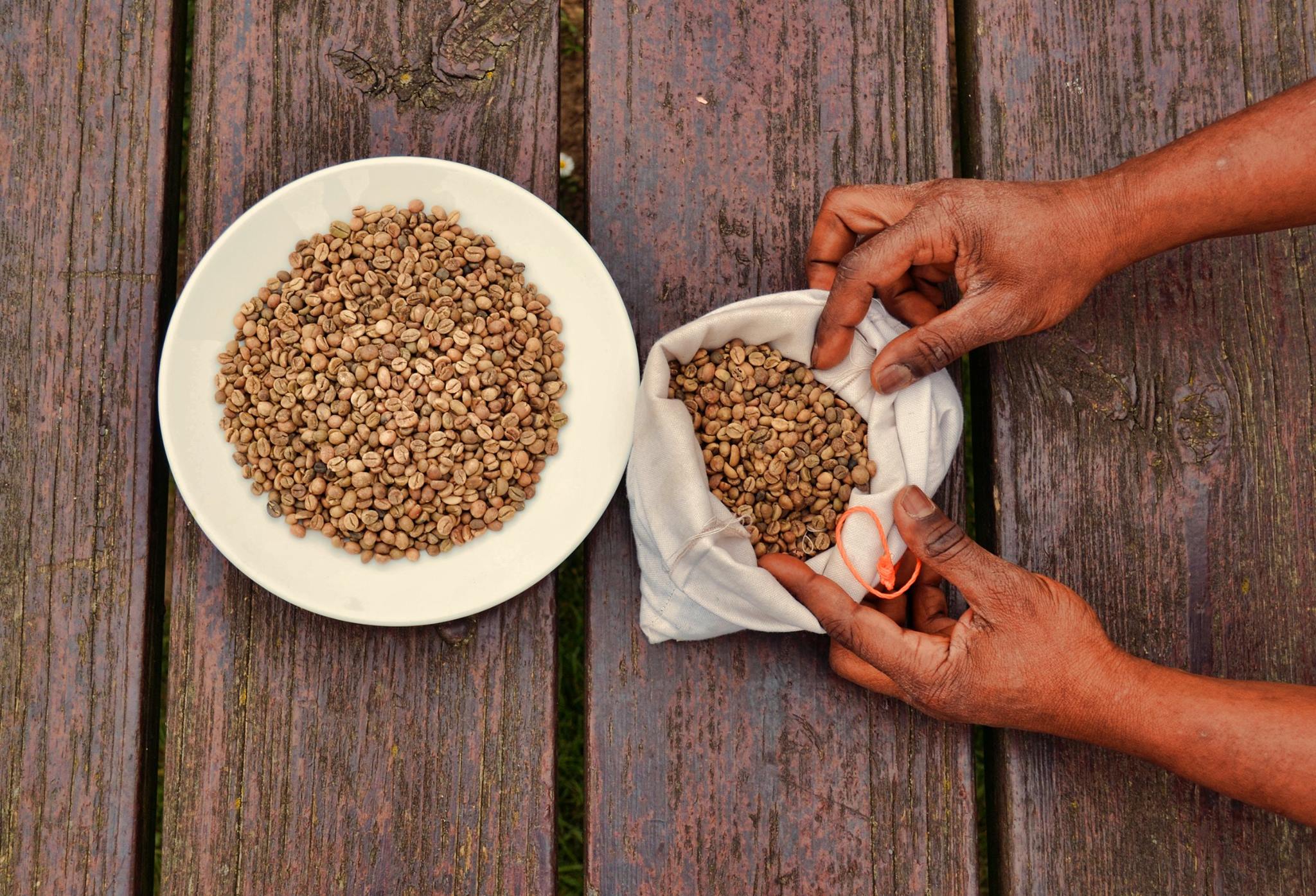
Coffee production in Tanzania is a significant aspect of its economy as it is Tanzania's largest export crop. Tanzanian coffee production averages between 30,000 and 40,000 metric tons annually of which approximately 70% is Arabica and 30% is Robusta. The nine main growing regions of Arabica are in: #Iringa #Kigoma # Matengo Highlands #Mbeya #Mbinga #Morogoro # Ngara #North Kilimanjaro #Usambara Mountains The main growing region of Robusta is the Bukoba area of the Kagera Region. Two new species were found recently in Tanzania's Eastern Arc Mountains, ''Coffea bridsoniae'' and ''C. kihansiensis''. Harvest time is traditionally October to February. Ninety percent of the nation's coffee farms are smallholder, with the remainder being plantations. The industry estimates are approximately 270,000 personnel involved in the coffee industry. Before 1990, the State coffee board and the cooperative unions were responsible for marketing coffee. Reforms in 1990 and in 1994–95 affected ... [...More Info...] [...Related Items...] OR: [Wikipedia] [Google] [Baidu] |
Coffee Zones Of Tanzania
Coffee is a drink prepared from roasted coffee beans. Darkly colored, bitter, and slightly acidic, coffee has a stimulating effect on humans, primarily due to its caffeine content. It is the most popular hot drink in the world. Seeds of the ''Coffea'' plant's fruits are separated to produce unroasted green coffee beans. The beans are roasted and then ground into fine particles that are typically steeped in hot water before being filtered out, producing a cup of coffee. It is usually served hot, although chilled or iced coffee is common. Coffee can be prepared and presented in a variety of ways (e.g., espresso, French press, caffè latte, or already-brewed canned coffee). Sugar, sugar substitutes, milk, and cream are often used to mask the bitter taste or enhance the flavor. Though coffee is now a global commodity, it has a long history tied closely to food traditions around the Red Sea. The earliest credible evidence of coffee drinking in the form of the modern beverage ... [...More Info...] [...Related Items...] OR: [Wikipedia] [Google] [Baidu] |
Eastern Arc Mountains
The Eastern Arc Mountains is a chain of mountains found in Kenya and Tanzania. The chain runs from northeast to southwest, with the Taita Hills being in Kenya and the other ranges being in Tanzania. They are delimited on the southwest by the fault complex represented by the Makambako Gap that separates them from the Kipengere Range. To the northeast, they are delimited by more recent volcanism represented by Mount Kilimanjaro. The chain is considered a Tentative World Heritage Site. Mountain ranges The Eastern Arc Mountains forms a roughly crescent-shaped arc and consists of: # Taita Hills # North and South Pare Mountains # East and West Usambara Mountains # Nguru Mountains # Ukaguru Mountains # Uluguru Mountains # Uvidunda Mountains # Rubeho Mountains # Malundwe Mountain # Udzungwa Mountains # Mahenge Mountains Geology These mountain ranges are the oldest in East Africa, and though physically separated from each other, share a similar geomorphology and ecology. They wer ... [...More Info...] [...Related Items...] OR: [Wikipedia] [Google] [Baidu] |
Mbozi District
Mbozi District is a district in Songwe Region, Tanzania. It is bordered to the north by Chunya District, to the east by Mbeya Urban and Ileje Districts, to the south by Zambia and to the west by Rukwa Region. According to the 2002 Tanzania National Census, the population of Mbozi District was 515,270. The district has an area of . The District Commissioner of Mbozi District is D.I. Rwegasira. Administrative subdivisions Mbozi District is administratively divided into six divisions, twenty-five wards (no longer including Tunduma, which now has its own town council) and 175 villages. The wards are: * Chilulumo * Chitete * Chiwezi * Halungu * Igamba * Ihanda * Isandula * Isansa * Itaka * Ivuna * Iyula * Kamsamba * Kapele * Mlangali * Mlowo * Msangano * Msia * Myovizi * Myunga * Nambinzo * Ndalambo * Nkangamo * Nyimbili * Ruanda (Mbozi) * Vwawa Vwawa is a town and an administrative ward in Mbozi District and the location of the headquarters of Songwe Region, Tanza ... [...More Info...] [...Related Items...] OR: [Wikipedia] [Google] [Baidu] |
Tanganyika (territory)
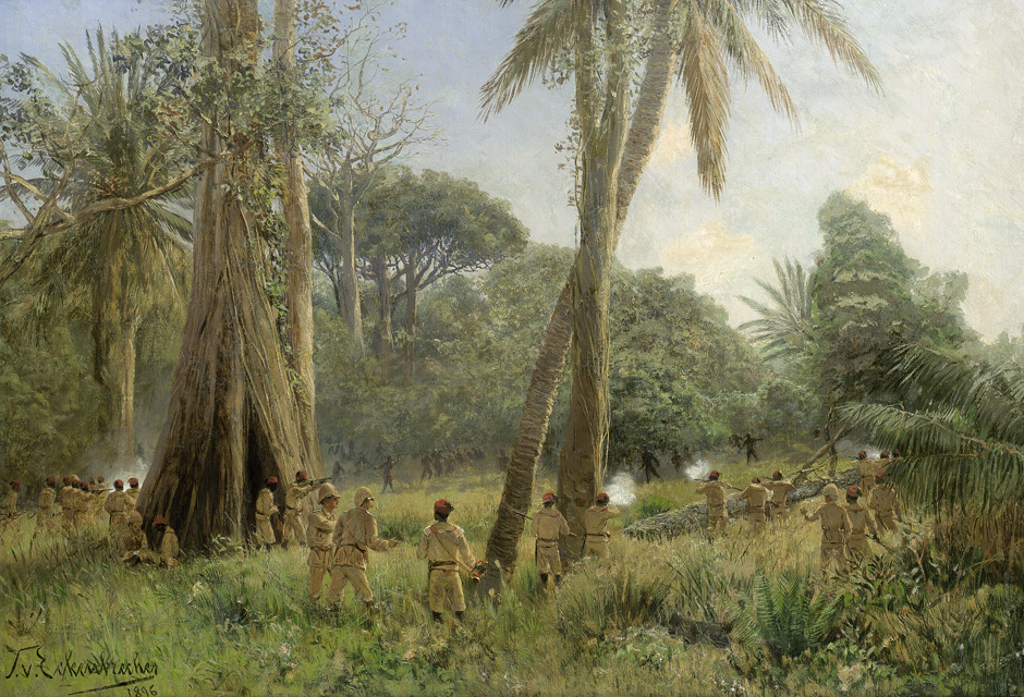
Tanganyika was a colonial territory in East Africa which was administered by the United Kingdom in various guises from 1916 to 1961. It was initially administered under a military occupation regime. From 20 July 1922, it was formalised into a League of Nations mandate under British rule. From 1946, it was administered by the UK as a United Nations trust territory. Before World War I, Tanganyika formed part of the German colony of German East Africa. It was gradually occupied by forces from the British Empire and Belgian Congo during the East Africa Campaign, although German resistance continued until 1918. After this, the League of Nations formalised the UK's control of the area, who renamed it "Tanganyika". The UK held Tanganyika as a League of Nations mandate until the end of World War II after which it was held as a United Nations trust territory. In 1961, Tanganyika gained its independence from the UK as Tanganyika. It became a republic a year later. Tanganyika now forms ... [...More Info...] [...Related Items...] OR: [Wikipedia] [Google] [Baidu] |
British Empire
The British Empire was composed of the dominions, colonies, protectorates, mandates, and other territories ruled or administered by the United Kingdom and its predecessor states. It began with the overseas possessions and trading posts established by England between the late 16th and early 18th centuries. At its height it was the largest empire in history and, for over a century, was the foremost global power. By 1913, the British Empire held sway over 412 million people, of the world population at the time, and by 1920, it covered , of the Earth's total land area. As a result, its constitutional, legal, linguistic, and cultural legacy is widespread. At the peak of its power, it was described as " the empire on which the sun never sets", as the Sun was always shining on at least one of its territories. During the Age of Discovery in the 15th and 16th centuries, Portugal and Spain pioneered European exploration of the globe, and in the process established ... [...More Info...] [...Related Items...] OR: [Wikipedia] [Google] [Baidu] |
World War I
World War I (28 July 1914 11 November 1918), often abbreviated as WWI, was List of wars and anthropogenic disasters by death toll, one of the deadliest global conflicts in history. Belligerents included much of Europe, the Russian Empire, the United States, and the Ottoman Empire, with fighting occurring throughout Europe, the Middle East, Africa, the Pacific Ocean, Pacific, and parts of Asia. An estimated 9 million soldiers were killed in combat, plus another 23 million wounded, while 5 million civilians died as a result of military action, hunger, and disease. Millions more died in Genocides in history (World War I through World War II), genocides within the Ottoman Empire and in the Spanish flu, 1918 influenza pandemic, which was exacerbated by the movement of combatants during the war. Prior to 1914, the European great powers were divided between the Triple Entente (comprising French Third Republic, France, Russia, and British Empire, Britain) and the Triple A ... [...More Info...] [...Related Items...] OR: [Wikipedia] [Google] [Baidu] |
Chaga People
The Chaga or Chagga (Swahili language: WaChaga) are Bantu-speaking indigenous Africans and the third-largest ethnic group in Tanzania. They traditionally live on the slopes of Mount Kilimanjaro and eastern Mount Meru in both Kilimanjaro Region and eastern Arusha Region. Their relative economic wealth comes from favorable fertile soil of mount Kilimanjaro and successful agricultural methods, which include extensive irrigation systems, terracing, and continuous organic fertilization methods practiced for thousands of years. The Chaga are said to have descended from various Bantu groups who migrated from elsewhere in Africa to the foothills of Mount Kilimanjaro, a migration that began around the start of the eleventh century. While the Chaga are Bantu-speakers, their language has a number of dialects somewhat related to Kamba, which is spoken in southeast Kenya,. They are ethnically related to the Pare, Taveta, Shambaa people and Taita peoples. The inhabitants reveal migration ... [...More Info...] [...Related Items...] OR: [Wikipedia] [Google] [Baidu] |
Tanga Region
Tanga Region (''Mkoa wa Tanga'' in Swahili) is one of Tanzania's 31 administrative regions. The region covers an area of . The region is comparable in size to the combined land area of the nation state of Burundi. The regional capital is the municipality of Tanga city. Located in northeast Tanzania, the region is bordered by Kenya and Kilimanjaro Region to the north; Manyara Region to the west; and Morogoro and Pwani Regions to the south. It has a coastline to the east with the Indian Ocean. According to the 2012 national census, the region had a population of 2,045,205. History The region was previously known as Tanga Province and included Same and Mwanga Districts that are at present in Kilimanjaro Region. Geography Geology and terrain Tanga Region is the 15th largest region by size with an area of , after Songwe Region at . An area occupying 3% of the country. In comparison Tanga is larger than the African nation of Burundi at 25,680 square kilometers. The Tanga ... [...More Info...] [...Related Items...] OR: [Wikipedia] [Google] [Baidu] |
Kilimanjaro Region
Kilimanjaro Region (''Mkoa wa Kilimanjaro'' in Swahili) is one of Tanzania's 31 administrative regions. The regional capital and largest city is the municipality of Moshi. With a HDI of 0.613, Kilimajaro is one among the most developed regions of Tanzania. According to the 2012 national census, the region had a population of 1,640,087, which was lower than the pre-census projection of 1,702,207.Population Distribution by Administrative Units, United Republic of Tanzania, 2013 For 2002-2012, the region's 1.8 percent average annual population growth rate was the 24th highest in the country. It was also the eighth most densely populated region with 124 people per square ... [...More Info...] [...Related Items...] OR: [Wikipedia] [Google] [Baidu] |
German East Africa
German East Africa (GEA; german: Deutsch-Ostafrika) was a German colony in the African Great Lakes region, which included present-day Burundi, Rwanda, the Tanzania mainland, and the Kionga Triangle, a small region later incorporated into Mozambique. GEA's area was , which was nearly three times the area of present-day Germany and double the area of metropolitan Germany at the time. The colony was organised when the German military was asked in the late 1880s to put down a revolt against the activities of the German East Africa Company. It ended with Imperial Germany's defeat in World War I. Ultimately GEA was divided between Britain, Belgium and Portugal and was reorganised as a mandate of the League of Nations. History Like other colonial powers the Germans expanded their empire in the Africa Great Lakes region, ostensibly to fight slavery and the slave trade. Unlike other imperial powers, however they never formally abolished either slavery or the slave trade and pref ... [...More Info...] [...Related Items...] OR: [Wikipedia] [Google] [Baidu] |
Haya People
The Haya (or Bahaya) are a Bantu ethnic group based in Kagera Region, northwestern Tanzania, on the western side of Lake Victoria. With over one million people, it is estimated the Haya make up approximately 2% of the population of Tanzania. Historically, the Haya have had a complex kingship-based political system. Agriculture, particularly banana farming, is central to Haya economic life. They are credited with the independent development of carbon steel dating to 2000 years ago using pre-heating techniques. Etymology According to Hans Cory, the term (Haya for fisher-people) was originally used to differentiate the Haya from the Banyambo of Karagwe. This distinction is said to be based on cultural differences, with the Haya economy predominantly oriented toward fishing and other industries on Lake Victoria and the Banyambo predominately engaged in pastoralism. Other sources on the origin of the term Haya cite oral accounts that state it derives from a goddess named Muhaya, ... [...More Info...] [...Related Items...] OR: [Wikipedia] [Google] [Baidu] |
Ethiopia
Ethiopia, , om, Itiyoophiyaa, so, Itoobiya, ti, ኢትዮጵያ, Ítiyop'iya, aa, Itiyoppiya officially the Federal Democratic Republic of Ethiopia, is a landlocked country in the Horn of Africa. It shares borders with Eritrea to the Eritrea–Ethiopia border, north, Djibouti to the Djibouti–Ethiopia border, northeast, Somalia to the Ethiopia–Somalia border, east and northeast, Kenya to the Ethiopia–Kenya border, south, South Sudan to the Ethiopia–South Sudan border, west, and Sudan to the Ethiopia–Sudan border, northwest. Ethiopia has a total area of . As of 2022, it is home to around 113.5 million inhabitants, making it the List of countries and dependencies by population, 13th-most populous country in the world and the List of African countries by population, 2nd-most populous in Africa after Nigeria. The national capital and largest city, Addis Ababa, lies several kilometres west of the East African Rift that splits the country into the African Plate, Africa ... [...More Info...] [...Related Items...] OR: [Wikipedia] [Google] [Baidu] |


.png)


.jpeg/1200px-Black_rhino_(head_and_shoulder_view).jpeg)

