|
Arbat District
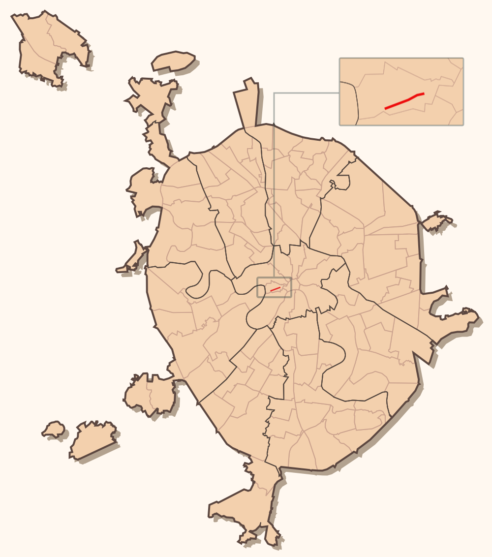
Arbat District () is a administrative divisions of Moscow, district of Central Administrative Okrug of the federal cities of Russia, federal city of Moscow, Russia. Population: The district extends from central Mokhovaya Street west to Novoarbatsky Bridge over the Moskva River. Its irregular boundaries correspond roughly to Znamenka Street and Sivtsev Vrazhek Lane in the south and Povarskaya Street in the north. Main radial streets are Vozdvizhenka Street, New Arbat Street and pedestrian Arbat Street. Economy Aeroflot has its head office in the district. " Aeroflot. Retrieved on June 29, 2010. "Legal / mailing address: # 10, Arbat street, 119002 Moscow" – Обращение в авиакомпанию ... [...More Info...] [...Related Items...] OR: [Wikipedia] [Google] [Baidu] |
Moscow
Moscow is the Capital city, capital and List of cities and towns in Russia by population, largest city of Russia, standing on the Moskva (river), Moskva River in Central Russia. It has a population estimated at over 13 million residents within the city limits, over 19.1 million residents in the urban area, and over 21.5 million residents in Moscow metropolitan area, its metropolitan area. The city covers an area of , while the urban area covers , and the metropolitan area covers over . Moscow is among the world's List of largest cities, largest cities, being the List of European cities by population within city limits, most populous city entirely in Europe, the largest List of urban areas in Europe, urban and List of metropolitan areas in Europe, metropolitan area in Europe, and the largest city by land area on the European continent. First documented in 1147, Moscow became the capital of the Grand Principality of Moscow, which led the unification of the Russian lan ... [...More Info...] [...Related Items...] OR: [Wikipedia] [Google] [Baidu] |
Povarskaya Street
Povarskaya Street (, known from 1924–1991 as ''Vorovsky Street'' (улица Воровского), is a radial street in the center of Moscow, Russia, connecting Arbat Square on Boulevard Ring with Kudrinskaya Square on the Garden Ring. It is known informally as Moscow's Embassy Row, and is home to the finest mansions built in the 1890s and 1900s. Povarskaya Street also houses the Supreme Court of Russia and the Gnessin State Musical College. Most of Povarskaya Street lies in the Arbat District; its northern side near Kudrinskaya Square is administered by the Presnensky District. History Povarskaya Street follows the track of an ancient road from Moscow to Volokolamsk. In the 1570s Ivan Grozny allocated the street to oprichnina (private royal domain) and the street was taken over by his associates. In the 17th century, however, its upper-class population was diluted by lower classes. The street owes its name to cooks (''povara'') of the 17th century Muscovite court. Nearby ... [...More Info...] [...Related Items...] OR: [Wikipedia] [Google] [Baidu] |
Spaso House
Spaso House is a listed neoclassicism, Neoclassical Revival building at No. 10 Spasopeskovskaya Square in Moscow. It was originally built in 1913 as the mansion of the textile industrialist Nikolay Vtorov. Since 1933, it has been the residence of the U.S. ambassador to the Soviet Union, and since 1991, to the Russian Federation. The building belonged to the USSR and later Russia and, under the 1985 lease contract, the U.S. was supposed to pay 72,500 Soviet roubles per year, which by 2001 was the equivalent of about $3, which the U.S. had failed to pay in 1993. In 2004, the two sides concluded a new 49-year lease that was said to be based on a joint assessment of the property's value; the rent rate was not disclosed. History Early history Spaso House takes its name from Spasopeskovskaya Square, in the Arbat District. "Spasopeskovskaya" meant "Saviour on the Sands", referring to the sandy soil of the neighborhood, which was first settled in the seventeenth century. Most of ... [...More Info...] [...Related Items...] OR: [Wikipedia] [Google] [Baidu] |
Aeroflot
PJSC AeroflotRussian Airlines (, ), commonly known as Aeroflot ( or ; , , ), is the flag carrier and the largest airline of Russia. Aeroflot is headquartered in the Central Administrative Okrug, Moscow, with its hub being Sheremetyevo International Airport. The Federal Agency for State Property Management, an agency of the Government of Russia, owns 73.77% of the company, with the rest of the shares being public float. During the time of the Soviet Union, Aeroflot was one of the largest airlines in the world. In 1992, following the dissolution of the Soviet Union, Aeroflot was divided into approximately 400 regional airlines informally known as Babyflots and was restructured into an open joint-stock company. It has a market share in Russia of approximately 42.3%. Including subsidiaries, the company carried 55.3 million passengers in 2024. Aeroflot also owns Rossiya Airlines and Pobeda, a low-cost carrier. The Aeroflot fleet, excluding subsidiaries, includes 171 airplanes ... [...More Info...] [...Related Items...] OR: [Wikipedia] [Google] [Baidu] |
Arbat Street
Arbat Street (, ), mainly referred to in English as the Arbat, is a pedestrian street about one kilometer long in the historical centre of Moscow, Russia. The Arbat has existed since at least the 15th century, which makes it one of the oldest surviving streets of the Russian capital. It forms the heart of the Arbat District of Moscow. Originally the street formed part of an important trade-route and was home to many craftsmen. In the 18th century, the Russian nobility came to regard the Arbat as the most prestigious living area in Moscow. Almost completely destroyed by the great fire of 1812 associated with Napoleon's occupation of Moscow, the street required rebuilding. In the 19th and early 20th centuries it became known as a place where petty nobility, artists, and academics lived. In the Soviet period, it housed many high-ranking government officials. , the street and its surroundings are undergoing gentrification, and it is considered a desirable place to live. Because o ... [...More Info...] [...Related Items...] OR: [Wikipedia] [Google] [Baidu] |
New Arbat Street
New Arbat Avenue () is a major street in Moscow running west from Arbatskaya Square on the Boulevard Ring to Novoarbatsky Bridge on the opposite bank of the Moskva (river). The modern eight-lane avenue (originally named Kalinin Prospekt in 1968–1994), along with two rows of high-rise buildings, was constructed between 1962 and 1968, and was literally cut through the old, narrow streets of the Arbat District. Within the Garden Ring A modern avenue running parallel to the picturesque Arbat Street was first envisioned in Joseph Stalin's 1935 Master Plan, however the project was delayed by the outbreak of the Second World War, and work did not begin until the late 1950s. The first stage of the project, the Novoarbatsky Bridge, was completed in 1957. Between 1957 and 1963, the city redeveloped land on the opposite (western) bank of the Moskva, creating the beginning of Kutuzovsky Prospekt, and completing the main part of New Arbat by 1968. The southern side of the avenue (excl ... [...More Info...] [...Related Items...] OR: [Wikipedia] [Google] [Baidu] |
Vozdvizhenka Street
Vozdvizhenka Street, (), is a radial street connecting Manege Square and Arbat Square in central Arbat District of Moscow, Russia. The street's name refers to a monastery that existed here since 1450 and perished in the Fire of Moscow (1812). In 1934–1946, it was known as Comintern Street (улица Коминтерна), in 1946-1991 as Kalinin Street (улица Калинина) Kalinin Prospect (проспект Калинина). Overview Vozdvizhenka stretches due west from Kutafya Tower of Moscow Kremlin, past Mokhovaya Street, to Arbat Square on the Boulevard Ring. Present-day Vozdvizhenka incorporates a former square between Moscow Manege, Kutafya Tower and Mokhovaya Street that used to be a separate entity, called Sapozhkovskaya Square or Manege Square (different from present-day Manege Square). Vozdvizhenka is the first stretch of an old route to Smolensk, continued west by New Arbat Avenue and Kutuzovsky Prospekt. Prior to development of New Arbat in 1960s ... [...More Info...] [...Related Items...] OR: [Wikipedia] [Google] [Baidu] |
Sivtsev Vrazhek Lane
Sivtsev Vrazhek is a radial lane in the Central Administrative Okrug of Moscow; it forms the boundary between Arbat District, Arbat and Khamovniki District, Khamovniki municipal districts. The lane begins at a T-junction with Gogolevsky Boulevard and runs west, roughly parallel to Arbat Street (north) and Prechistenka Street (south), ending at a T-junction with Denezhny Lane, one block short of the Garden Ring. The name of the lane, literally '' stream gully'', refers to a historical stream now locked in an underground sewer and is only one of two ''Vrazheks'' in present-day Moscow (the other being Kozhevnichesky Vrazhek west of Novospassky Bridge). History Sivka Stream ran eastward along the present-day lane into Chertoryi Stream that flowed southward on site of present-day Gogolevsky Boulevard into Moskva River. In the 18th century Sivka was locked into an open stone-clad ditch, opening up space for a proper lane, and in the first quarter of the 19th century the ditch was rebuil ... [...More Info...] [...Related Items...] OR: [Wikipedia] [Google] [Baidu] |
Administrative Divisions Of Moscow
The federal city of Moscow, Russia is divided into administrative districts called ''administrative okrugs'', which are a subdivision of state administration. They are further divided into municipal formations called districts (''raions'') and settlements (''poseleniy''), which are local self-government entities. Overview Administratively, the city is divided into 12 administrative okrugs, which in turn are subdivided into 146 administrative units, which include 125 administrative districts and 21 administrative settlements. Municipally, each of the 146 administrative units have municipal status as 125 municipal okrugs, 19 municipal settlements, and 2 urban okrugs. The municipalities of Shcherbinka and Troitsk are styled "urban okrugs" due to their former municipal status within the territory in Moscow Oblast which became New Moscow. The city does not have a downtown area; the urban core is scattered across the city. Prominent business areas include Tverskoy, Arbat, and ... [...More Info...] [...Related Items...] OR: [Wikipedia] [Google] [Baidu] |
Znamenka Street
Znamenka Street is a street in Khamovniki District of Moscow. It runs from Borovitskaya Square to Arbatskaya Square, lies between Kolymazhny Lane and Vozdvizhenka Street. The numbering of houses is carried out from Borovitskaya Square. Etymology The name appeared at the end of the 16th century and it is named after the Church of the Sign of the Most Holy Theotokos (demolished in 1931). After the Russian Revolution, Znamenka was renamed into Krasnoznamyonnaya Street, and in 1925 into Frunze Street - in honor of the famous Soviet military leader Mikhail Frunze, who died in the same year, who worked in the building of the Revolutionary Military Council located on the street. In 1990, the street was reverted to its original name. Geography The street is near to the Kremlin and many official buildings are located here, for example: *Institute of State and Law *General Staff of the Armed Forces of the Russian Federation References Streets in Moscow {{Russia-road-stub ... [...More Info...] [...Related Items...] OR: [Wikipedia] [Google] [Baidu] |
Moskva River
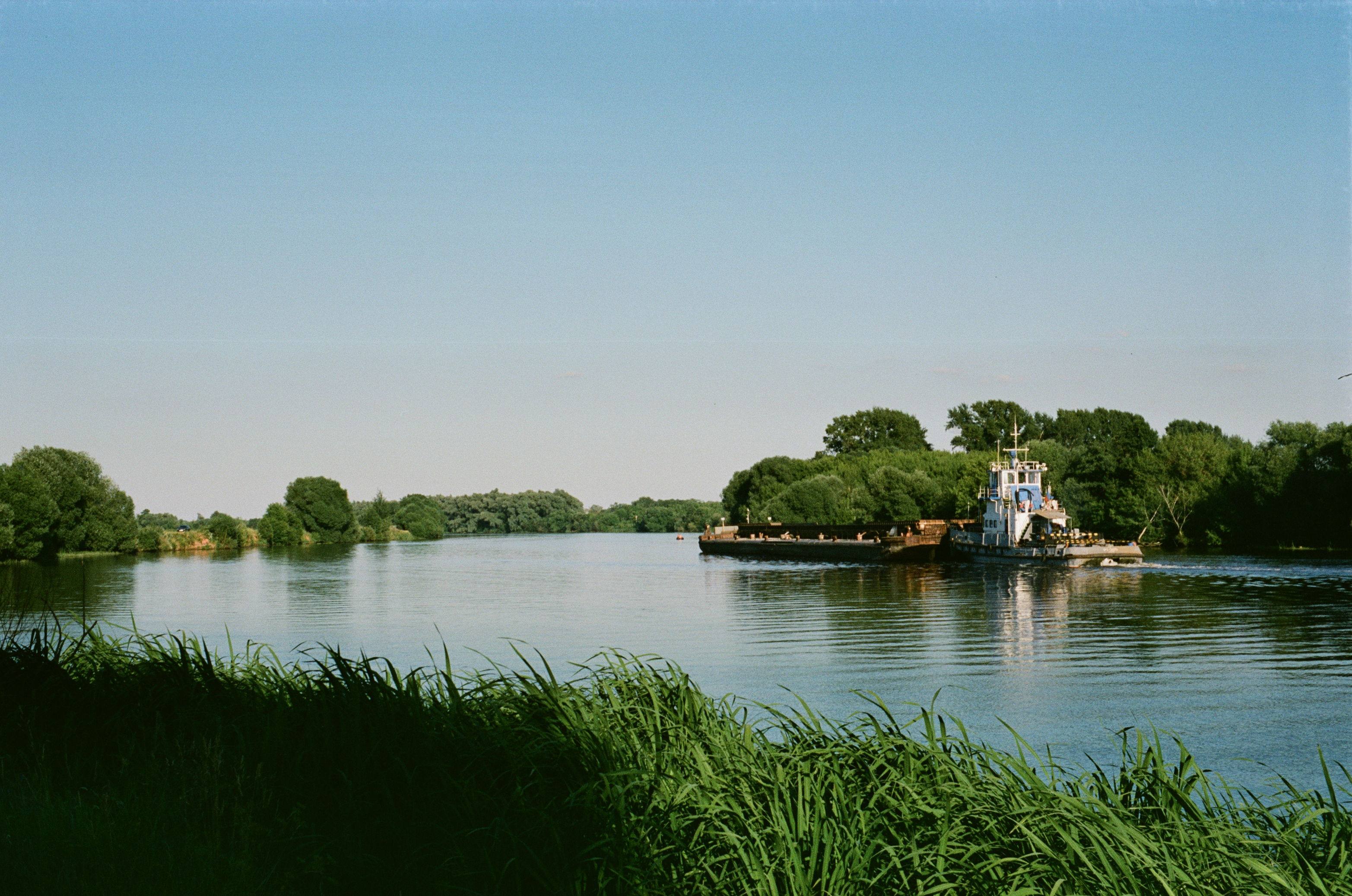
The Moskva (, ''Moskva-reka'') is a river that flows through western Russia. It rises about west of Moscow and flows roughly east through the Smolensk and Moscow Oblasts, passing through central Moscow. About southeast of Moscow, at the city of Kolomna, it flows into the Oka, itself a tributary of the Volga, which ultimately flows into the Caspian Sea. History According to recent studies, the current riverbed of the Moskva River was occupied about 12 thousand years ago. In addition to Finnic tribes, the Moskva River is also the origin of Slavic tribes such as the Vyatichi tribe. Etymology The name of the city is thought to be derived from the name of the river. Several theories of the origin of the name have been proposed. The most linguistically well-grounded and widely accepted is from the Proto-Balto-Slavic root *''mŭzg''-/''muzg''- from the Proto-Indo-European "wet", so the name ''Moskva'' might signify a river at a wetland or a marsh. Its cognates include , ... [...More Info...] [...Related Items...] OR: [Wikipedia] [Google] [Baidu] |


