|
Battle Of Washita
The Battle of the Washita River (also called Battle of the Washita or the Washita Massacre) occurred on November 27, 1868, when Lt. Col. George Armstrong Custer's 7th U.S. Cavalry attacked Black Kettle's Southern Cheyenne camp on the Washita River (the present-day Washita Battlefield National Historic Site near Cheyenne, Oklahoma). The Cheyenne camp was the most isolated band of a major winter encampment along the river of numerous Native American tribal bands, totaling thousands of people. Custer's forces attacked the village because scouts had found it by tracking the trail of an Indian party that had raided white settlers. Black Kettle and his people had been at peace and were seeking peace. Custer's soldiers killed women and children in addition to warriors, although they also took many captives to serve as hostages and human shields. The number of Cheyenne killed in the attack has been disputed since the first reports. Background After the Southern Cheyenne and Arapaho ... [...More Info...] [...Related Items...] OR: [Wikipedia] [Google] [Baidu] |
Indian Wars
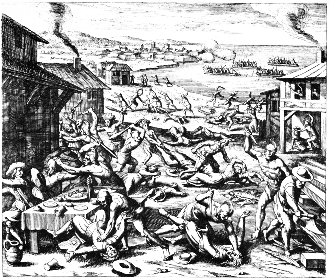
The American Indian Wars, also known as the American Frontier Wars, and the Indian Wars, was a conflict initially fought by European colonial empires, the United States, and briefly the Confederate States of America and Republic of Texas against various American Indian tribes in North America. These conflicts occurred from the time of the earliest colonial settlements in the 17th century until the end of the 19th century. The various wars resulted from a wide variety of factors, the most common being the desire of settlers and governments for Indian tribes' lands. The European powers and their colonies enlisted allied Indian tribes to help them conduct warfare against each other's colonial settlements. After the American Revolution, many conflicts were local to specific states or regions and frequently involved disputes over land use; some entailed cycles of violent reprisal. As American settlers spread and expanded westward across the United States after 1780, armed conflict ... [...More Info...] [...Related Items...] OR: [Wikipedia] [Google] [Baidu] |
Arapaho
The Arapaho ( ; , ) are a Native American people historically living on the plains of Colorado and Wyoming. They were close allies of the Cheyenne tribe and loosely aligned with the Lakota and Dakota. By the 1850s, Arapaho bands formed two tribes, namely the Northern Arapaho and Southern Arapaho. Since 1878, the Northern Arapaho have lived with the Eastern Shoshone on the Wind River Reservation in Wyoming and are federally recognized as the Northern Arapaho Tribe of the Wind River Reservation. The Southern Arapaho live with the Southern Cheyenne in Oklahoma. Together, their members are enrolled as the federally recognized Cheyenne and Arapaho Tribes. Names It is uncertain where the word ''Arapaho'' came from. Europeans may have derived it from the Pawnee word for "trader", ''iriiraraapuhu'', or it may have been a corruption of a Crow word for "tattoo", ''alapúuxaache''. The Arapaho autonym is or ("our people" or "people of our own kind"). They refer to their t ... [...More Info...] [...Related Items...] OR: [Wikipedia] [Google] [Baidu] |
Saline River (Kansas)
The Saline River is a U.S. Geological Survey. National Hydrography Dataset high-resolution flowline dataThe National Map accessed March 29, 2011 tributary of the Smoky Hill River in the central Great Plains of North America. The entire length of the river lies in the U.S. state of Kansas in the northwest part of the state. Its name comes from the French translation of its Native name Ne Miskua, referring to its salty content. Geography The Saline River originates in the High Plains of northwestern Kansas. The south fork of the river rises near the Sherman County- Thomas County line while its north fork rises in central Thomas County. The confluence of the two streams lies in Sheridan County roughly northwest of Grinnell, Kansas. It flows east for through the Smoky Hills region of north-central Kansas and joins the Smoky Hill River approximately 1 mile south of New Cambria, Kansas in Saline County. The Saline is sluggish and unnavigable with no major tributaries and has ... [...More Info...] [...Related Items...] OR: [Wikipedia] [Google] [Baidu] |
Solomon River (Kansas)
The Solomon River, often referred to as the "Solomon Fork", is a U.S. Geological Survey. National Hydrography Dataset high-resolution flowline dataThe National Map accessed March 29, 2011 river in the central Great Plains of North America. The entire length of the river lies in the U.S. state of Kansas. It is a tributary of the Smoky Hill River. Names The Native name for the river was Nepaholla, meaning "Water on the Hill" in reference to Waconda Spring which was located in the river valley. In 1744, French explorers named the river ''Salmon'', later corrupted into ''Solomon'', after Edme Gatien de Salmon, a prominent colonial official of French Louisiana at the time. Other names for the river include Mahkineohe, Riviere de Soucis, Solomons Creek, Wiskapalla River, and Solomons Fork. Geography The Solomon River is formed by the confluence of the North Fork Solomon River and South Fork Solomon River at Waconda Lake in northwestern Mitchell County, Kansas. Both forks originate ... [...More Info...] [...Related Items...] OR: [Wikipedia] [Google] [Baidu] |
Pawnee People
The Pawnee, also known by their endonym (which translates to "Men of Men"), are an Plains Indians, Indigenous people of the Great Plains that historically lived in Nebraska and northern Kansas but today are based in Oklahoma. They are the federally recognized Pawnee Nation of Oklahoma, who are headquartered in Pawnee, Oklahoma. Their Pawnee language belongs to the Caddoan language family. Historically, the Pawnee lived in villages of earth lodges near the Loup River, Loup, Republican River, Republican, and Platte River, South Platte rivers. The Pawnee tribal economic activities throughout the year alternated between farming crops and hunting American bison, buffalo. In the early 18th century, the Pawnee numbered more than 60,000 people. They lived along the Loup () and Platte () river areas for centuries; however, several tribes from the Great Lakes began moving onto the Great Plains and encroaching on Pawnee territory, including the Dakota people, Dakota, Lakota people, La ... [...More Info...] [...Related Items...] OR: [Wikipedia] [Google] [Baidu] |
Oglala Lakota
The Oglala (pronounced , meaning 'to scatter one's own' in Lakota language, Lakota) are one of the seven subtribes of the Lakota people who, along with the Dakota people, Dakota, make up the Sioux, Očhéthi Šakówiŋ (Seven Council Fires). A majority of the Oglala live on the Pine Ridge Indian Reservation in South Dakota, the eighth-largest Indian reservation, Native American reservation in the United States. The Oglala are a List of federally recognized tribes, federally recognized tribe whose official title is the called the Oglala Sioux Tribe of the Pine Ridge Reservation, South Dakota. History Oglala elders relate stories about the origin of the name "Oglala" and their emergence as a distinct group, probably sometime in the 18th century. Conflict with the European settlers In the early 19th century, Europeans and American passed through Lakota territory in increasing numbers. They sought furs, especially beaver fur at first, and later bison fur. The fur trade changed th ... [...More Info...] [...Related Items...] OR: [Wikipedia] [Google] [Baidu] |
Brulé
The Sicangu are one of the seven ''oyates'', nations or council fires, of Lakota people, an Indigenous people of the Northern Plains. Today, many Sicangu people are enrolled citizens of the Rosebud Sioux Tribe of the Rosebud Indian Reservation and Lower Brule Sioux Tribe of the Lower Brule Reservation in South Dakota. Distribution Many Sičhą́ǧu people live on the Rosebud Indian Reservation in southwestern South Dakota and are enrolled in the federally recognized Rosebud Sioux Tribe, also known in Lakȟóta as the ''Sičhą́ǧu Oyáte.'' A smaller population lives on the Lower Brule Indian Reservation, on the west bank of the Missouri River in central South Dakota, and on the Pine Ridge Indian Reservation, also in South Dakota, directly west of the Rosebud Indian Reservation. The different federally recognized tribes are politically independent of each other. Name The Sicangu Lakota are known as Sičhą́ǧu Oyáte in Lakȟóta, which translates to "Burnt Thighs N ... [...More Info...] [...Related Items...] OR: [Wikipedia] [Google] [Baidu] |
Comanche
The Comanche (), or Nʉmʉnʉʉ (, 'the people'), are a Tribe (Native American), Native American tribe from the Great Plains, Southern Plains of the present-day United States. Comanche people today belong to the List of federally recognized tribes in the United States, federally recognized Comanche Nation, headquartered in Lawton, Oklahoma. The Comanche language is a Numic languages, Numic language of the Uto-Aztecan languages, Uto-Aztecan family. Originally, it was a Shoshoni language, Shoshoni dialect, but diverged and became a separate language. The Comanche were once part of the Shoshone people of the Great Basin. In the 18th and 19th centuries, Comanche lived in most of present-day northwestern Texas and adjacent areas in eastern New Mexico, southeastern Colorado, southwestern Kansas, and western Oklahoma. Spanish colonists and later Mexicans called their historical territory ''Comancheria, Comanchería''. During the 18th and 19th centuries, Comanche practiced a nomadic h ... [...More Info...] [...Related Items...] OR: [Wikipedia] [Google] [Baidu] |
Kiowa
Kiowa ( ) or Cáuigú () people are a Native Americans in the United States, Native American tribe and an Indigenous people of the Great Plains of the United States. They migrated southward from western Montana into the Rocky Mountains in Colorado in the 17th and 18th centuriesPritzker 326 and eventually into the Southern Plains by the early 19th century. In 1867, the Kiowa were moved to a Indian reservation, reservation in Southwestern Oklahoma. Today, they are Federally recognized tribe, federally recognized as Kiowa Indian Tribe of Oklahoma with headquarters in Carnegie, Oklahoma. , there were 12,000 citizens. The Kiowa language, Kiowa language (Cáuijògà), part of the Tanoan languages, Tanoan language family, is in danger of extinction, with only 20 speakers as of 2012."Kiowa Tanoan" ''Ethnologue.'' Retrieved 21 June 2012. ... [...More Info...] [...Related Items...] OR: [Wikipedia] [Google] [Baidu] |
Kaw (tribe)
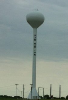
The Kaw Nation (or Kanza or Kansa) is a Federally recognized tribe, federally recognized Native Americans in the United States, Native American tribe in Oklahoma and parts of Kansas. The Kaw people historically lived in the central Midwestern United States. They have also been called the "People of the South Wind","Constitution of the Kaw Nation." ''Kaw Nation.'' 2011. Retrieved 30 April 2012. "People of Water", ''Kansa'', ''Kaza'', ''Konza'', ''Conza'', ''Quans'', ''Kosa'', and ''Kasa''. Their tribal language is Kansa language, Kansa, classified as a Siouan languages, Siouan language. The state of Kansas was named for this tribe. The name of Topeka, capital city of Kansas, is said to be the Kaw word meaning 'a good place to grow potatoes'. The Kaw are closely related to the Osage Nation, with whom members ... [...More Info...] [...Related Items...] OR: [Wikipedia] [Google] [Baidu] |
American Bison
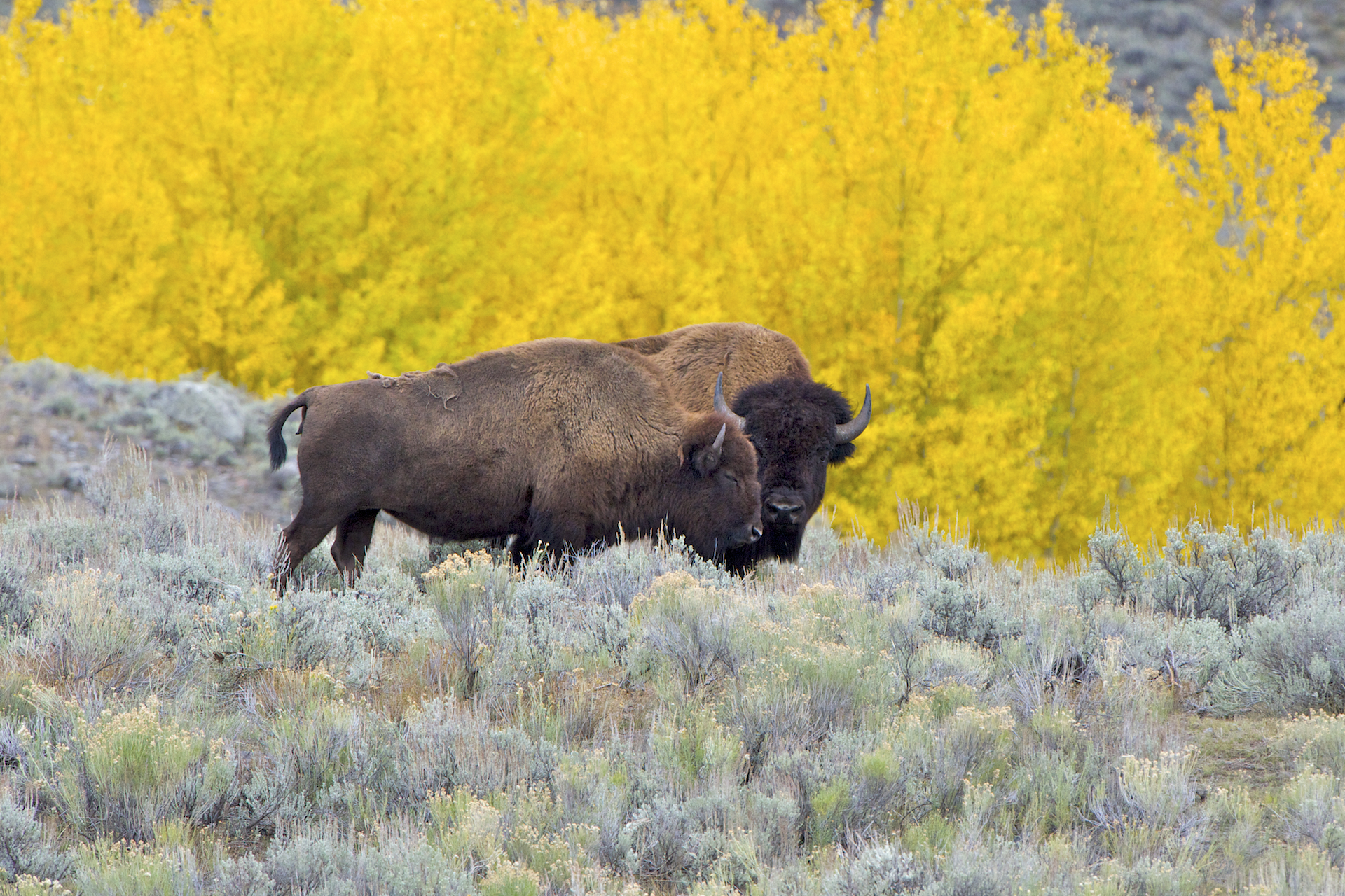
The American bison (''Bison bison''; : ''bison''), commonly known as the American buffalo, or simply buffalo (not to be confused with Bubalina, true buffalo), is a species of bison that is endemic species, endemic (or native) to North America. It is one of two extant species of bison, along with the European bison. Its habitat, historical range ''circa'' 9000 BC is referred to as the great bison belt, a tract of rich grassland spanning from Alaska south to the Gulf of Mexico, and east to the Atlantic Seaboard (nearly to the Atlantic tidewater (geographic term), tidewater in some areas), as far north as New York (state), New York, south to Georgia (U.S. state), Georgia, and according to some sources, further south to northern Florida, with sightings in North Carolina near Buffalo Ford on the Catawba River as late as 1750. Two subspecies or ecotypes have been described: the plains bison (''B. b. bison''), smaller and with a more rounded hump; and the wood bison (''B. b. athabascae ... [...More Info...] [...Related Items...] OR: [Wikipedia] [Google] [Baidu] |


