|
BT Postcode Area
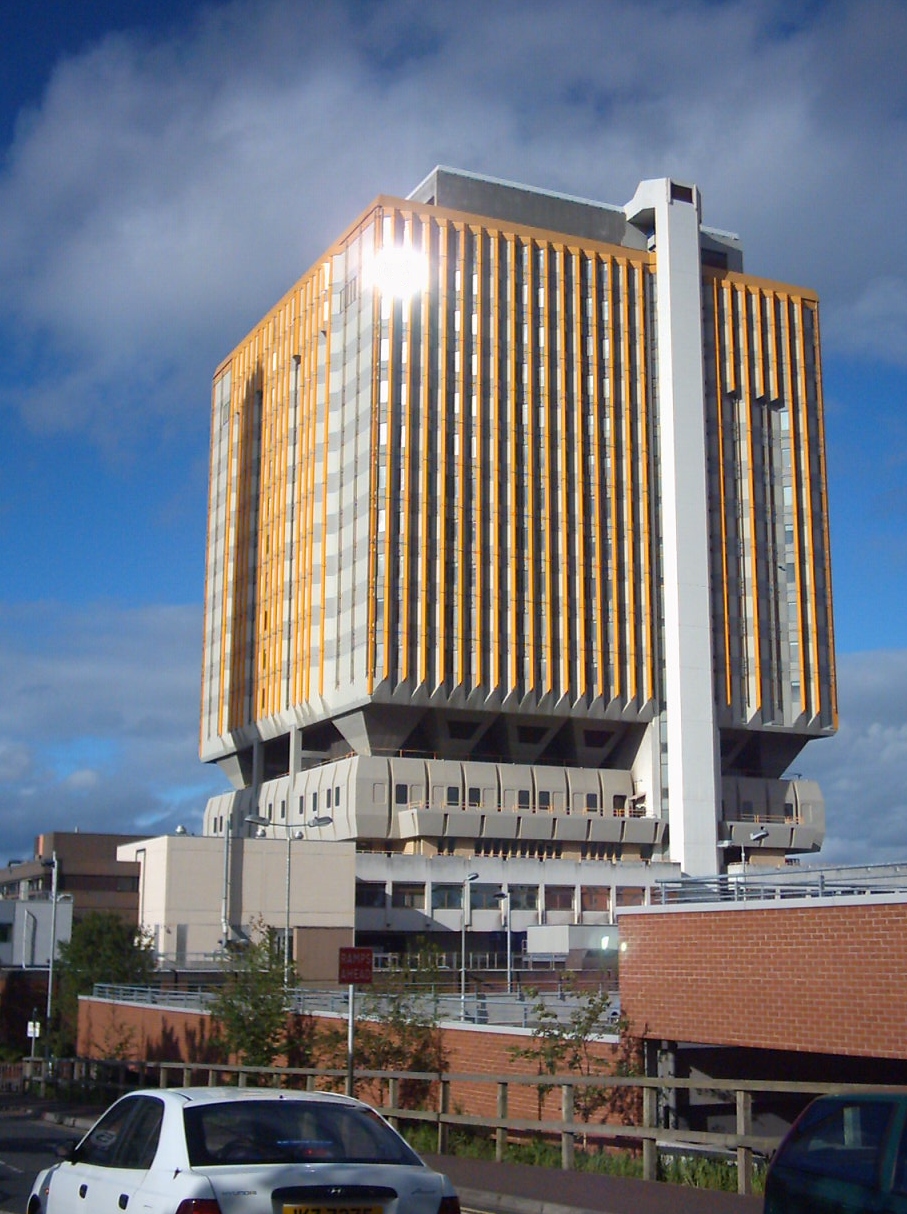
The BT postcode area, also known as the Belfast postcode area,Royal Mail, ''Address Management Guide'', (2004) covers all of Northern Ireland and was the last part of the United Kingdom to be coded, between 1970 and 1974. This area is a group of 82 postcode districts in Northern Ireland, within 44 post towns and around 47,227 live postcodes. With a population of over 1.8 million people, BT is the second most populous UK postcode area, after the B postcode area (Birmingham, 1.9 million). It is the only UK postcode area that has land borders with non-UK postcode areas and is also the only UK postcode area that borders the European Union. BT borders nine Eircode routing areas in the neighbouring Republic of Ireland: F94, F93, F91, N41, H23, H18, H14, A91, and A75. Mail for the BT postcode area is processed at the Northern Ireland Mail Centre in Newtownabbey. __TOC__ Coverage Belfast Prior to the introduction of postcodes, Belfast had already been divided into numbered postal ... [...More Info...] [...Related Items...] OR: [Wikipedia] [Google] [Baidu] |
Northern Ireland
Northern Ireland ( ; ) is a Countries of the United Kingdom, part of the United Kingdom in the north-east of the island of Ireland. It has been #Descriptions, variously described as a country, province or region. Northern Ireland shares Republic of Ireland–United Kingdom border, an open border to the south and west with the Republic of Ireland. At the 2021 United Kingdom census, 2021 census, its population was 1,903,175, making up around 3% of the Demographics of the United Kingdom#Population, UK's population and 27% of the population on the island of Ireland#Demographics, Ireland. The Northern Ireland Assembly, established by the Northern Ireland Act 1998, holds responsibility for a range of Devolution, devolved policy matters, while other areas are reserved for the Government of the United Kingdom, UK Government. The government of Northern Ireland cooperates with the government of Ireland in several areas under the terms of the Good Friday Agreement. The Republic of Ireland ... [...More Info...] [...Related Items...] OR: [Wikipedia] [Google] [Baidu] |
Sydenham, Belfast
Victoria was one of the nine district electoral areas (DEA) in Belfast, Northern Ireland, from 1985 to 2014, when it was mostly replaced by the Ormiston district. Located in the east of the city, the district elected seven members to Belfast City Council and contained the wards of Ballyhackamore; Belmont; Cherryvalley; Island; Knock; Stormont; and Sydenham. Victoria, along with wards from the neighbouring Pottinger district and Castlereagh Borough Council, formed the Belfast East constituency for the Northern Ireland Assembly and UK Parliament. The district was bounded to the west by the Victoria Channel, to the north by Belfast Lough, to the northeast by North Down Borough Council, to the south and east by Castlereagh Borough Council and to the southwest by the Newtownards Road. At each election throughout the district's existence, most of the councillors elected were Unionist. History The DEA was created for the 1985 local elections as the successor to the former Are ... [...More Info...] [...Related Items...] OR: [Wikipedia] [Google] [Baidu] |
Lisburn Road
Lisburn Road is a main arterial route linking Belfast and Lisburn, Northern Ireland. The Lisburn Road is now an extension of the "Golden Mile (Belfast), Golden Mile" with many shops, boutiques, wine bars, restaurants and coffee houses. The road runs almost parallel to the Malone Road, the two being joined by many side roads. It is a busy traffic route without much strong architectural character. Most of the housing is made up of red brick, red-brick terraced house, terraces, some with alterations. Some buildings along the road, however, are considered to be architecturally important and interesting.Larmour, P. 1991. "The Architectural Heritage of Malone and Stranmillis." Ulster Architectural Heritage Society. Lisburn Road itself begins at the nearby Bradbury Place and runs to Balmoral Avenue, beyond which it becomes Upper Lisburn Road. The Upper Lisburn Road extends south to reach Finaghy, at which point it becomes Kingsway and then in Dunmurry it becomes Queensway, before final ... [...More Info...] [...Related Items...] OR: [Wikipedia] [Google] [Baidu] |
Malone Road
The Malone Road () is a radial road in Belfast, Northern Ireland, leading from the university quarter southwards to the affluent suburbs of Malone and Upper Malone, each a separate electoral ward. The road runs parallel to the Lisburn Road and is linked by over a dozen side streets, while at its northern end, the Stranmillis Road rejoins the Malone Road to form University Road, which in turn joins with the Lisburn Road to become Bradbury Place. Most of the road is in the BT9 postcode district. At the southern end of the Malone Road lies Malone House, a mansion in the late Georgian style. The house is now maintained by Belfast City Council. The residential streets leading off the Malone Road and Upper Malone Road are known for their high property prices, and the area is therefore a byword in Northern Ireland for affluence. History The Troubles On 25 August 1971 during the Troubles Henry Beggs, a 23-year-old Protestant civilian, was killed by an Irish Republican Army (IRA) bo ... [...More Info...] [...Related Items...] OR: [Wikipedia] [Google] [Baidu] |
Newtownbreda
Newtownbreda ( Irish: ''Baile Nua na Bréadaí'') is a residential suburban village of south Belfast and within County Down in Northern Ireland, clustered around a small and now largely invisible 18th century village. The A55 Belfast Outer Ring road and A24 road pass through the area. History At one time, Newtownbreda was a small village in south Belfast. However, it is now part of the Greater Belfast conurbation and the name is a descriptor used loosely to describe the very broad area including Belvoir, Four Winds and Knockbreda. It is a largely residential area of private housing. Notable locations Newtownbreda has several churches including the 18th century Church of Ireland Parish Church, which uses the name of the civil parish Knockbreda and which owes its existence to Arthur Hill from nearby Belvoir Demesne. The church consecrated by Francis Hutchinson, Bishop of Down and Connor, on Sunday 7 August 1737. The Forestside Shopping Centre was developed by Sainsbury's betwee ... [...More Info...] [...Related Items...] OR: [Wikipedia] [Google] [Baidu] |
Carryduff
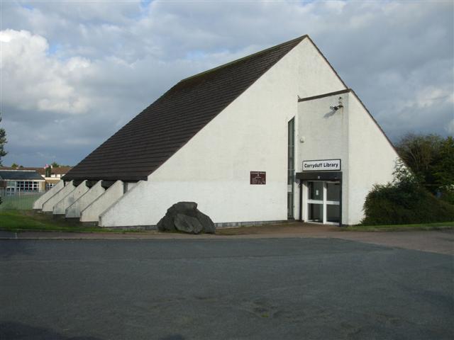
Carryduff ()Northern Ireland Placenames Project is a small town and in , , about south of city centre. It had a population of 7,173 people in the 2021 census. [...More Info...] [...Related Items...] OR: [Wikipedia] [Google] [Baidu] |
Ormeau Road
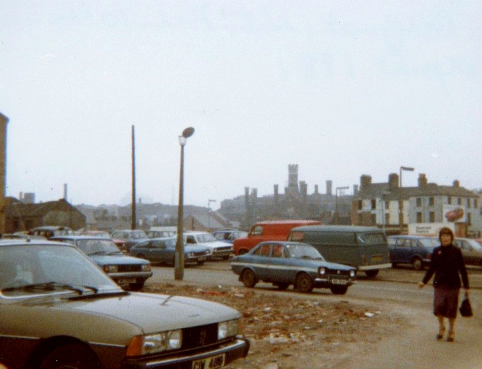
Ormeau Road is a road in south Belfast, the capital of Northern Ireland. Ormeau Park is adjacent to it. It forms part of the A24. History The road, as currently laid out, dates from the first decades of the 19th century when a bridge was built connecting Newtownbreda village to Belfast. This route was known more commonly as the ''New Ballynafeigh Road'' before eventually taking on the name of Ormeau House, the Marquess of Donegall's residence. Ravenhill Road was the Old Ballynafeigh Road. ''Ballynafeigh'' is the name of the townland through which most of the Ormeau Road runs. It is an anglicisation of the Irish meaning 'townland of the lawn or green'. Areas of the Ormeau Road Start of the road The area at the start of the Ormeau Road is not known by a single name but contains a number of features. Close to the Markets area is the site of the former Belfast Gasworks, originally built in the 19th century and remaining open for its original purpose until 1988. The area has ... [...More Info...] [...Related Items...] OR: [Wikipedia] [Google] [Baidu] |
Cregagh
Cregagh () is an area in the southeast of Belfast, Northern Ireland. It is the name of a townland and has been adopted as the name of an electoral ward of Belfast City council. The townland dates back to medieval times, when it was part of the territory held by the O'Neill dynasty, O'Neills of Clannaboy. The area is centred on the Cregagh Road. The Woodstock/Cregagh Road is a continuous arterial route in the city, with the Woodstock making up the lower half of the route and the Cregagh the upper half. It runs from the Albertbridge Road, close to the Short Strand, to the A55 Outer Ring road. Woodstock Road The Woodstock Road forms the beginning of the continuous road that includes Cregagh and which runs from close to the River Lagan to the outskirts of Belfast. The road begins at the end of Woodstock Link, which itself starts at a junction which turns off from the Albertbridge Road facing Mountpottinger Road. The Mount, a prominent conference facility built in 1997, is located c ... [...More Info...] [...Related Items...] OR: [Wikipedia] [Google] [Baidu] |
Lisburn And Castlereagh
Lisburn and Castlereagh is a local government district in Northern Ireland. The district was created on 1 April 2015. It consists of the combined area of the City of Lisburn with the Borough of Castlereagh, but not including "the localities of Gilnahirk, Tullycarnet, Braniel, Castlereagh, Merok, Cregagh, Wynchurch, Glencregagh and Belvoir, Collin Glen, Poleglass, Lagmore, Twinbrook, Kilwee and Dunmurry" which transferred to Belfast. The local authority is Lisburn and Castlereagh City Council. Geography The district takes in many of the outer suburbs of Belfast and had an electorate of 83,369 prior to its formation. The name of the new district was recommended on 17 September 2008. The area covered by the new Council had an estimated population of residents in . Lisburn and Castlereagh City Council Lisburn and Castlereagh City Council replaces Lisburn City Council and Castlereagh Borough Council. The first election for the new district council was originally due to take pla ... [...More Info...] [...Related Items...] OR: [Wikipedia] [Google] [Baidu] |
Braniel
Braniel or The Braniel is a large housing estate and townland in southeast Belfast, Northern Ireland. It is in the barony of Castlereagh Upper and parish of Knockbreda in County Down. Two small developments, Roddens and Glenview, are located in the area, and are often referred to the Braniel. It is a predominantly unionist area. History The name 'Braniel' comes from the Irish ''Broinngheal'' ("bright front") or ''Bruach Uí Néill'' ("O'Neill's slope/bank"). These likely refer to Braniel Hill. The Entrance to the Braniel is via the Knock Road and the Ballygowan Road or through the Gilnahirk route. Nearby estates include Church Road (Rosewood, Rosemount, Gray Castle, Marlborough), Gilnahirk, Tullycarnet, Clarawood, Clonduff, Casaeldona and Cregagh. In 2001, a man was murdered on Ravenswood Park, at the end entering the Braniel Square. In 2008, a man was stabbed on Whincroft Road, one of the main roads into ''Braniel Square''. A 28-year-old man was then arrested and given bail ... [...More Info...] [...Related Items...] OR: [Wikipedia] [Google] [Baidu] |
Gilnahirk
The townlands of Belfast are the oldest surviving land divisions in Belfast, Northern Ireland. The city is split between two traditional Counties by the River Lagan, with those townlands north of the river generally in County Antrim, while those on the southern bank are generally part of County Down. The following is a list of townlands within Belfast city (excluding the suburbs of Newtownabbey, Holywood and Dundonald) and their likely etymologies. County Antrim (north bank of the River Lagan) *Ballyaghagan () *Ballycollin (from ''Baile Chollan'' meaning "townland of the height") *Ballycullo (from ''Baile Mhic Cú Uladh'' meaning "MacCullagh's townland") *Ballydownfine (from ''Baile Dhún Fionn'' meaning "townland of the white fort") *Ballyfinaghy (from ''Baile Fionnachaidh'' meaning "townland of the white field") *Ballygammon (formerly Ballyogoman, from ''Baile Ó gComáin'' meaning "O'Coman's townland") – site of Musgrave Park *Ballygomartin (from ''Baile Gharraí Mháirt ... [...More Info...] [...Related Items...] OR: [Wikipedia] [Google] [Baidu] |
Clarawood
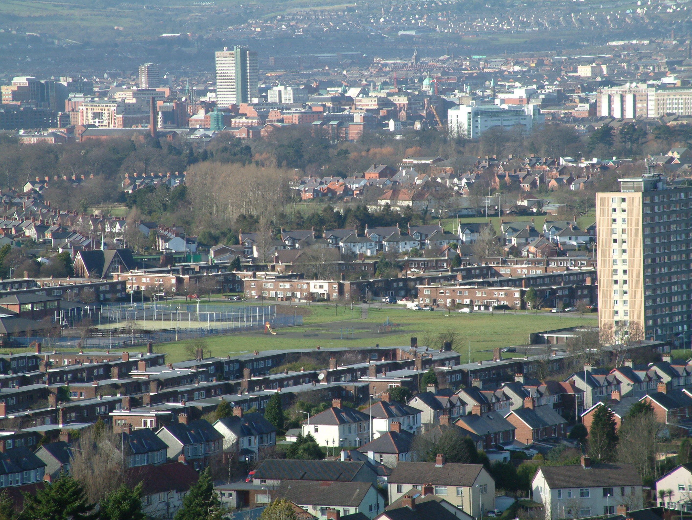
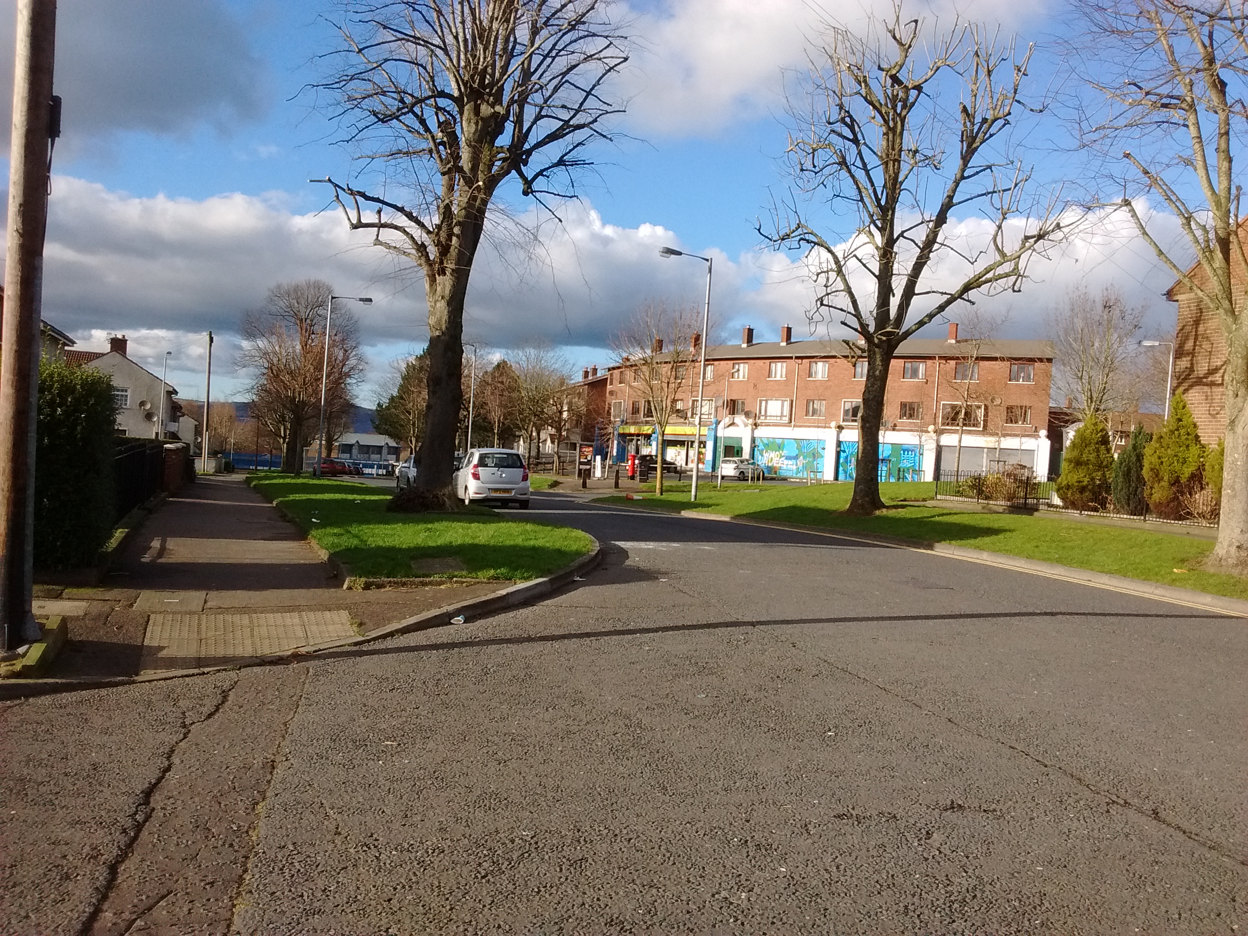
Clarawood is a housing estate in Belfast, Northern Ireland. It is located in the east of the city and incorporates the neighbouring Richhill development. Its name is probably derived from ''An Chlárach'' (). It is located off Knock Road (A55). Population The Northern Ireland Housing Executive, the public housing authority for Northern Ireland, commissioned and published a report about segregation in the estates; the report was based on national census data gathered between 1971 and 2001 and used 100m cells as the smallest unit. The report included the following figures for Clarawood:Shuttleworth, I. and C. D. Lloyd (2007Mapping Segregation on Belfast NIHE Estates 1971-2001 Belfast: Northern Ireland Housing Executive. * In 1971, 2% Catholic, 94% Protestant, and 3% unknown; * In 1991, 1% Catholic, 83% Protestant, and 17% of which claimed no or another religion; * In 2001, 2% Catholic, 93% Protestant, and 5% claimed no religion. Facilities , the Housing Executive reported o ... [...More Info...] [...Related Items...] OR: [Wikipedia] [Google] [Baidu] |


