|
Arakam Tse
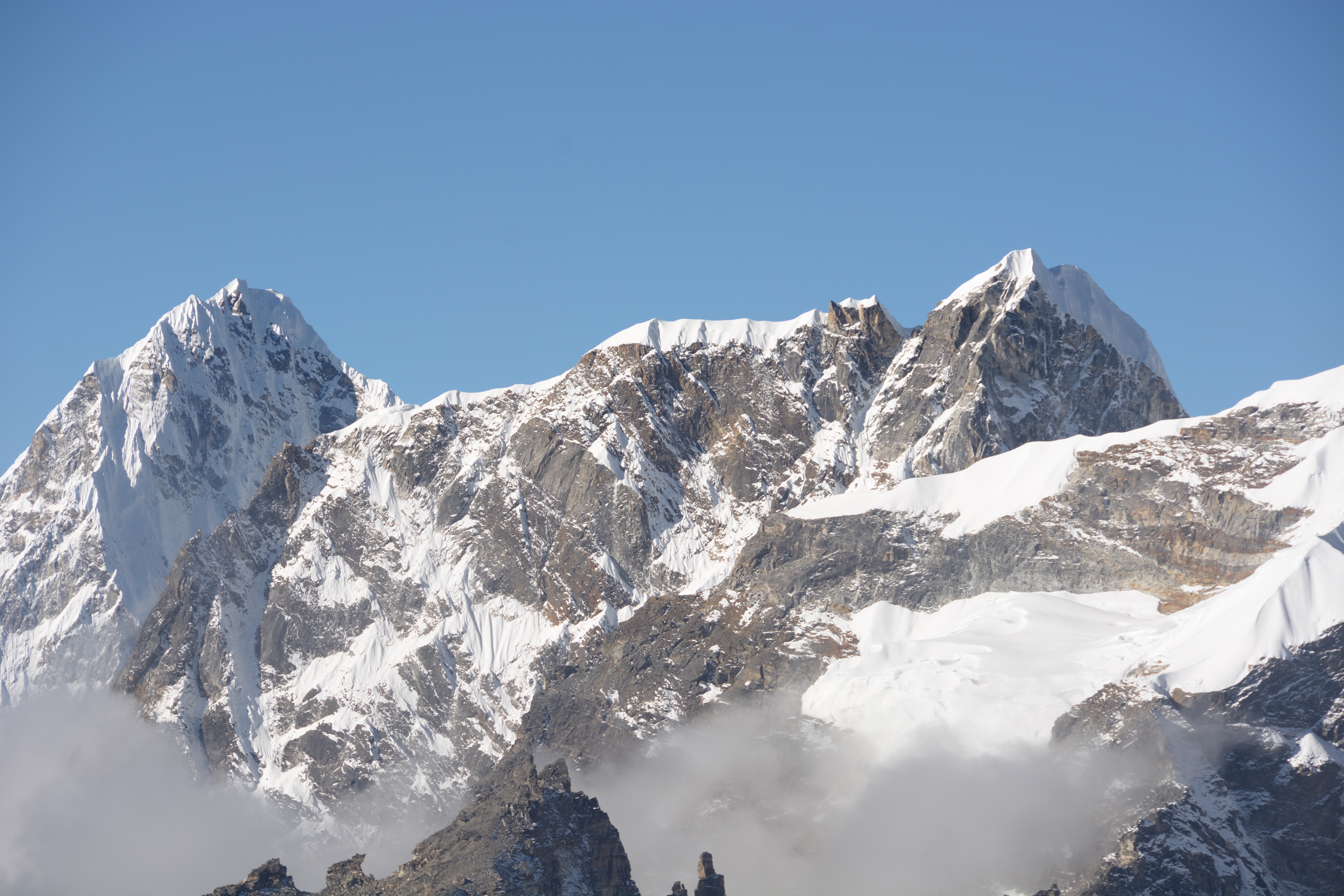
Arakam Tse is a mountain in Nepal. Description Arakam Tse is a summit in the Khumbu region of the Nepalese Himalaya. It is situated west of Mount Everest and north of Cholatse. Topographic relief is significant as the east slope rises 1,100 metres (3,609 ft) in . Precipitation runoff from the mountain's slopes drains into tributaries of the Dudh Koshi. Trekkers pass by this peak en route to Everest Base Camp. The first ascent of the summit was made on October 26, 2013, by Josep Maria Esquirol, Silvestre Barrientos, Alfonso Gaston, and Ferran Rodríguez. This team of Spaniards climbed the northeast face via a route they named ''Tatopani'', (1,000m, M5+). Climate Based on the Köppen climate classification, Arakam Tse is located in a tundra climate zone with cold, snowy winters, and cool summers. Weather systems coming off the Bay of Bengal are forced upwards by the Himalaya mountains (orographic lift), causing heavy precipitation in the form of rainfall and snowfal ... [...More Info...] [...Related Items...] OR: [Wikipedia] [Google] [Baidu] |
Himalaya
The Himalayas, or Himalaya ( ), is a mountain range in Asia, separating the plains of the Indian subcontinent from the Tibetan Plateau. The range has some of the Earth's highest peaks, including the highest, Mount Everest. More than 100 peaks exceeding elevations of above sea level lie in the Himalayas. The Himalayas abut on or cross territories of six countries: Nepal, China, Pakistan, Bhutan, India and Afghanistan. The sovereignty of the range in the Kashmir region is disputed among India, Pakistan, and China. The Himalayan range is bordered on the northwest by the Karakoram and Hindu Kush ranges, on the north by the Tibetan Plateau, and on the south by the Indo-Gangetic Plain. Some of the world's major rivers, the Indus, the Ganges, and the Tsangpo– Brahmaputra, rise in the vicinity of the Himalayas, and their combined drainage basin is home to some 600 million people; 53 million people live in the Himalayas. The Himalayas have profoundly shaped the cultures of ... [...More Info...] [...Related Items...] OR: [Wikipedia] [Google] [Baidu] |
Bay Of Bengal
The Bay of Bengal is the northeastern part of the Indian Ocean. Geographically it is positioned between the Indian subcontinent and the Mainland Southeast Asia, Indochinese peninsula, located below the Bengal region. Many South Asian and Southeast Asian Countries of the Bay of Bengal, countries are dependent on the Bay of Bengal. Geopolitically, the bay is bounded on the west and northwest by India, on the north by Bangladesh, and on the east by Myanmar and the Andaman and Nicobar Islands of India. Its southern limit is a line between Sangaman Kanda, Sri Lanka, and the northwesternmost point of Sumatra, Indonesia. Cox's Bazar Beach, Cox's Bazar, the longest sea beach in the world and Sundarbans, the largest mangrove forest and the natural habitat of the Bengal tiger, are located along the bay. The Bay of Bengal occupies an area of . A number of large rivers flow into the Bay of Bengal: the Ganges–Hooghly River, Hooghly, the Padma River, Padma, the Brahmaputra River, Brahmaputr ... [...More Info...] [...Related Items...] OR: [Wikipedia] [Google] [Baidu] |
Mountains Of Koshi Province
A mountain is an elevated portion of the Earth's crust, generally with steep sides that show significant exposed bedrock. Although definitions vary, a mountain may differ from a plateau in having a limited summit area, and is usually higher than a hill, typically rising at least above the surrounding land. A few mountains are isolated summits, but most occur in mountain ranges. Mountains are formed through tectonic forces, erosion, or volcanism, which act on time scales of up to tens of millions of years. Once mountain building ceases, mountains are slowly leveled through the action of weathering, through slumping and other forms of mass wasting, as well as through erosion by rivers and glaciers. High elevations on mountains produce colder climates than at sea level at similar latitude. These colder climates strongly affect the ecosystems of mountains: different elevations have different plants and animals. Because of the less hospitable terrain and climate, mountains te ... [...More Info...] [...Related Items...] OR: [Wikipedia] [Google] [Baidu] |
Ngozumpa Glacier
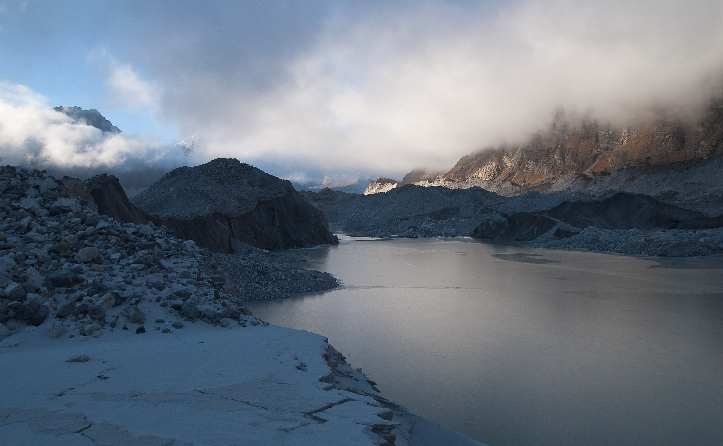
The Ngozumpa glacier, below the sixth highest mountain in the world Cho Oyu in Nepal, at , is the longest glacier in the Himalayas. Ngozumpa Glacier is a large persistent body of ice. It flows slowly due to stresses induced by its weight. Ngozumpa Spillway lake The Nepali Himalayas The Himalayas, or Himalaya ( ), is a mountain range in Asia, separating the plains of the Indian subcontinent from the Tibetan Plateau. The range has some of the Earth's highest peaks, including the highest, Mount Everest. More than list of h ... have been warming significantly over recent decades. Ngozumpa glacier is showing signs of shrinking and thinning, producing melt water. Some of this water pools on the surface where an enormous lake is growing. This lake, called Spillway, has the potential to be about long, wide and deep. [...More Info...] [...Related Items...] OR: [Wikipedia] [Google] [Baidu] |
Gokyo
Gokyo is a small village in Solukhumbu District in the Himalayas of Nepal, at the foot of Gokyo Ri, located on the eastern shore of the third Gokyo Lake, Dudh Pokhari. To the southeast is the village of Chharchung. Gokyo is best viewed on Google Earth at . Located at an elevation of , the village is one of the highest settlements in Nepal and in the world. Almost all the buildings are guest houses for trekkers. The people who live in the village leave during the winter and move to other (lower) villages, or Kathmandu. In 1995, an avalanche killed 42 people, including 17 foreign nationals (13 Japanese, two Canadians, one Irish woman and a German). A cyclone in the Bay of Bengal The Bay of Bengal is the northeastern part of the Indian Ocean. Geographically it is positioned between the Indian subcontinent and the Mainland Southeast Asia, Indochinese peninsula, located below the Bengal region. Many South Asian and Southe ... had resulted in of snow being dumped into the m ... [...More Info...] [...Related Items...] OR: [Wikipedia] [Google] [Baidu] |
Machhermo
Machermo is a small village in the Khumbu region of eastern Nepal. It lies in the Dudh Kosi River valley just north of Dole and south of Gokyo at an altitude of 4470m, just below the terminal moraine of the Ngozumpa glacier, the longest glacier in the Himalayas. Machhermo is often a stopping point for trekkers on their way to Sagarmartha (Mount Everest) via the Gokyo Ri route. Its primary function is to support the tourism industry and as such consists of a number of guesthouses. Village of Mochhermo (Nepal).jpg Machhermo-06-Lodge-2007-gje.jpg Machhermo-36-Lodge-2007-gje.jpg Machhermo-60-Trekkers Lodge-Waschplatz-Holzspalten-2007-gje.jpg Machhermo-66-Trekkers Lodge-Saal-2007-gje.jpg Machermo, Mountains of Nepal.jpg Machhermo-82-Lodges-2007-gje.jpg Machermo, House, Nepal.jpg See also * Gokyo Lakes Gokyo Lakes are oligotrophic lakes in Nepal's Sagarmatha National Park, located at an elevation of . They were named after Gokyo Ri peak. These lakes are the world's highest ... [...More Info...] [...Related Items...] OR: [Wikipedia] [Google] [Baidu] |
Dughla
Dughla is a small hamlet in Solukhumbu District in the Himalayas of Nepal, to the south of Khumbu Glacier. The settlement, consisting of several huts, is located at an elevation of , making it one of the highest settlements in the world, but likely not permanently inhabited all year around as it is essentially a collection of huts catering to hikers. Gokyo Gokyo is a small village in Solukhumbu District in the Himalayas of Nepal, at the foot of Gokyo Ri, located on the eastern shore of the third Gokyo Lake, Dudh Pokhari. To the southeast is the village of Chharchung. Gokyo is best viewed on Goo ... to the northwest is a little higher in elevation than Dughla. The village lies in an elevated position above and to the northeast of the lake, obscured from views of the lake by a rocky precipice. There is also a glacial lake Tshola Tsho, and Cho La Pass is nearby. References External links * Photograph of the village Populated places in Solukhumbu District Lakes of Kos ... [...More Info...] [...Related Items...] OR: [Wikipedia] [Google] [Baidu] |
Khumbu Glacier
The Khumbu Glacier () is located in the Khumbu region of northeastern Nepal between Mount Everest and the Lhotse- Nuptse ridge. With elevations of at its terminus to at its source, it is the world's highest glacier. The Khumbu Glacier is followed for the final part of the trail to one of the Everest Base Camps. The start of the glacier is in the Western Cwm near Everest. The glacier has a large icefall, the Khumbu Icefall, at the west end of the lower Western Cwm. This icefall is the first major obstacle—and among the more dangerous—on the standard south col route to the Everest summit. It is also the largest glacier in Nepal. The end of Khumbu Glacier is located at . Overview Khumbu Glacier, Khumbu Icefall, Nepal, Asia.jpg, Khumbu Glacier and Khumbu Icefall Khumbu Glacier from Kala Patthar, Mountains of Nepal, Asia.jpg, Khumbu Glacier Khumbu glacier in relation to everest.jpg, Map See also * * List of glaciers * Retreat of glaciers since 1850 The retreat of gla ... [...More Info...] [...Related Items...] OR: [Wikipedia] [Google] [Baidu] |
Lobuche
Lobuche (also spelt Lobuje) is a Nepalese mountain which lies close to the Khumbu Glacier and the settlement of Lobuche. There are two main peaks, Lobuche East and Lobuche West. A permit to climb the mountain is required from the Nepal Mountaineering Association (NMA), which classifies Lobuche East (6,119m) as a "trekking peak" and Lobuche West (6,145m) as an "expedition peak". The permit is issued by Nepal Mountaineering Association and costs USD $250 during spring, USD $125 during autumn, and USD $70 during winter/summer. The easier, trekking peak, the East peak is climbed far more frequently than the West peak; however, most of those climbers only do so to reach a false summit that is still a few hours from the true summit of Lobuche East. Between the two peaks is a long, deeply notched ridge, with a steep drop and its considerable distance making an approach of the West peak from the East practically impossible. The first recorded ascent of Lobuche East was made by Lauren ... [...More Info...] [...Related Items...] OR: [Wikipedia] [Google] [Baidu] |
Cho La (Nepal)
Cho La is a summit pass located above sea level in the Solukhumbu District in northeastern Nepal. It connects the village of Dzongla () to the east and the village of Thagnak () to the west. Tourism The pass is on the Gokyo trail in the Khumbu Everest region. To the west the trail continues to the Gokyo Lakes, crossing the Ngozumpa glacier on the way. To the east the trail joins the Everest Base Camp trek. The pass can be physically demanding and may require crampons A crampon is a traction device attached to footwear to improve mobility on snow and ice during ice climbing. Besides ice climbing, crampons are also used for secure travel on snow and ice, such as crossing glaciers, snowfields and icefields, as ... on top of the slippery glacier. The edge of the glacier is unstable. The Cho la Pass is covered in snow for 9 months of the year, with the temperature being below 0 degrees Celsius for a long time. References Mountain passes of Nepal Mountain passes o ... [...More Info...] [...Related Items...] OR: [Wikipedia] [Google] [Baidu] |
Geology Of The Himalayas
The geology of the Himalayas is a record of the most dramatic and visible creations of the immense mountain range formed by plate tectonic forces and sculpted by weathering and erosion. The Himalayas, which stretch over 2400 km between the Namcha Barwa syntaxis at the eastern end of the mountain range and the Nanga Parbat syntaxis at the western end, are the result of an ongoing orogeny — the collision of the continental crust of two tectonic plates, namely, the Indian Plate thrusting into the Eurasian Plate. The Himalaya-Tibet region supplies fresh water for more than one-fifth of the world population, and accounts for a quarter of the global sedimentary budget. Topographically, the belt has many superlatives: the highest rate of uplift (nearly 10 mm/year at Nanga Parbat), the highest relief (8848 m at Mt. Everest Chomolangma), among the highest erosion rates at 2–12 mm/yr, the source of some of the greatest rivers and the highest concentratio ... [...More Info...] [...Related Items...] OR: [Wikipedia] [Google] [Baidu] |
Taboche
Taboche (also known as Tawoche, Tobuche, Tāuje, Taweche, Tawache or Tawetse) is a mountain in the Khumbu region of the Nepalese Himalaya. Taboche is connected to Cholatse by a long ridge. Taboche lies directly across the Imja River from Ama Dablam and above the villages of Pheriche and Dingboche Dingboche is a Sherpa village at an elevation of in the Khumbu region of northeastern Nepal. Its population was estimated at approximately 200 in 2011. Transport Coming from Namche Bazaar or Tengboche, Dingboche is the better alternative tha .... The first ascent was made in 1974 by a French expedition led by Yannick Seigneur and the clarinettist and composer Jean-Christian Michel. The summit team included Louis Dubost, Paul Gendre and Jacques Brugirard. Other notable ascents * 1989 The direct north-east face of Taboche (Tawoche) was climbed in winter by Jeff Lowe and John Roskelley alpine-style during a ten-day push in February 1989. They reached the summit on February 13. ... [...More Info...] [...Related Items...] OR: [Wikipedia] [Google] [Baidu] |


