|
Amazon–Orinoco–Southern Caribbean Mangroves
The Amazon–Orinoco–Southern Caribbean mangroves (NT1401) is an ecoregion along the coasts of Colombia, Venezuela, Guyana, Suriname, French Guiana and Brazil. Location The Amazon-Orinoco-Southern Caribbean mangroves cover stretches of the northern, Caribbean, coasts of Colombia and Venezuela, and of the Atlantic coasts of Venezuela, Guyana, Suriname, French Guiana and northeast Brazil. It includes sections of the coasts of the Brazilian states of Amapá, Pará and Maranhão. The eastern part of the ecoregion makes up the Guianan–Amazon Mangroves global ecoregion, which in turn is made up of the Guianan mangroves, Amapá mangroves, Pará mangroves, and Maranhão mangroves terrestrial ecoregions. Along the Caribbean coast the mangroves are found along sections of Guajira–Barranquilla xeric scrub, Sinú Valley dry forests, Paraguana xeric scrub, Lara–Falcón dry forests, La Costa xeric shrublands, Cordillera de la Costa montane forests, Araya and Paria xeric scrub, Orin ... [...More Info...] [...Related Items...] OR: [Wikipedia] [Google] [Baidu] |
Morrocoy National Park
Morrocoy National Park lies on the east coast of Falcón State and the north-west side of Golfo Triste, on the west central Venezuelan coast, near the towns of Boca de Aroa, Tucacas, Sanare, Chichiriviche, and Tocuyo de la Costa. It was declared a national park on 26 May 1974. The park's wildlife has suffered from human activity, and there has been a significant decline in coral species in recent years. Geography The park extends across both terrestrial and aquatic areas of Golfo Triste. It covers . It contains an area of mangroves and numerous islets or cays, including Borracho, Muerto, Sombrero, Sal, Las Animas, and Peraza. White sand beaches on these cays include Mero, Paiclas, Los Juanes, Playuela, Tucupido, Azul and Boca Seca. The park's bays, mangroves, cays and islands sit in the shadow of the Chichiriviche hills, with elevations up to around 250 m. At 285 m high, Chichiriviche Hill is the highest point in the park. It stands amid the surrounding coastal envi ... [...More Info...] [...Related Items...] OR: [Wikipedia] [Google] [Baidu] |
Paraguana Xeric Scrub
The Paraguana xeric scrub (NT1313) is an ecoregion in Venezuela to the north and east of Lake Maracaibo and along the coast of Aruba, Bonaire, and Curaçao. The region holds flora and fauna adapted to the very dry conditions of the coastal dunes and inland areas of bush, scrub, briars and cacti. There are several endangered species of animals and birds. Efforts at protecting the environment have been ineffective. Most of the original trees have been cut down, dunes are being destabilized by loss of vegetation, scrub is replaced by farmland and vegetation is destroyed by grazing goats. Geography Location The Paraguana xeric scrub is in the northwest of Venezuela. It has an area of . It extends along the Caribbean coast of the ABC islands (Leeward Antilles) to the east of the mouth of Lake Maracaibo and includes the Paraguaná Peninsula. A belt of the xeric scrub extends inland to the foothills of the Venezuelan Andes to the west of Barquisimeto. Along the Caribbean coast there ar ... [...More Info...] [...Related Items...] OR: [Wikipedia] [Google] [Baidu] |
Sinú Valley Dry Forests
Sinú may refer to: * Sinú River, Colombia * The Zenú, also known as Sinú, peoples of Colombia * "Sinu" (Masterpiece song), a 2009 song by Malaysian band Masterpiece See also * * Sinew, a tough band of fibrous connective tissue that connects muscle to bone * Sinus (other) * Sino (other) * Seenu (other) {{Disambiguation ... [...More Info...] [...Related Items...] OR: [Wikipedia] [Google] [Baidu] |
Guajira–Barranquilla Xeric Scrub
The Guajira–Barranquilla xeric scrub is a deserts and xeric shrublands, xeric shrubland ecoregion in Colombia, Venezuela, and the ABC Islands (Leeward Antilles), covering an estimated area of . Rainfall varies from , and the median temperature is . Location The ecoregion occupies the Guajira Peninsula, the valley of the Rancheria river and Guajira Department, covering parts of the northeastern coast of Venezuela to the ABC Islands (Leeward Antilles). The valleys lie in the rain shadow of the surrounding Serranía de Macuira, which reaches an elevation of over sea level. These mountains trap some of the trade winds, causing mist. An important tourist destination in the area is Cabo de la Vela, and Klein Curaçao. Ecology Flora The ecoregion is dominated by thorny trees and succulents. Common species include ''Acacia glomerosa'', ''Bourreria cumanensis'', ''Bulnesia arborea'', ''Caesalpinia coriaria'', ''Copaifera venezolana'', ''Croton (plant), Croton'' sp., ''Gyrocarpu ... [...More Info...] [...Related Items...] OR: [Wikipedia] [Google] [Baidu] |
Maranhão Mangroves
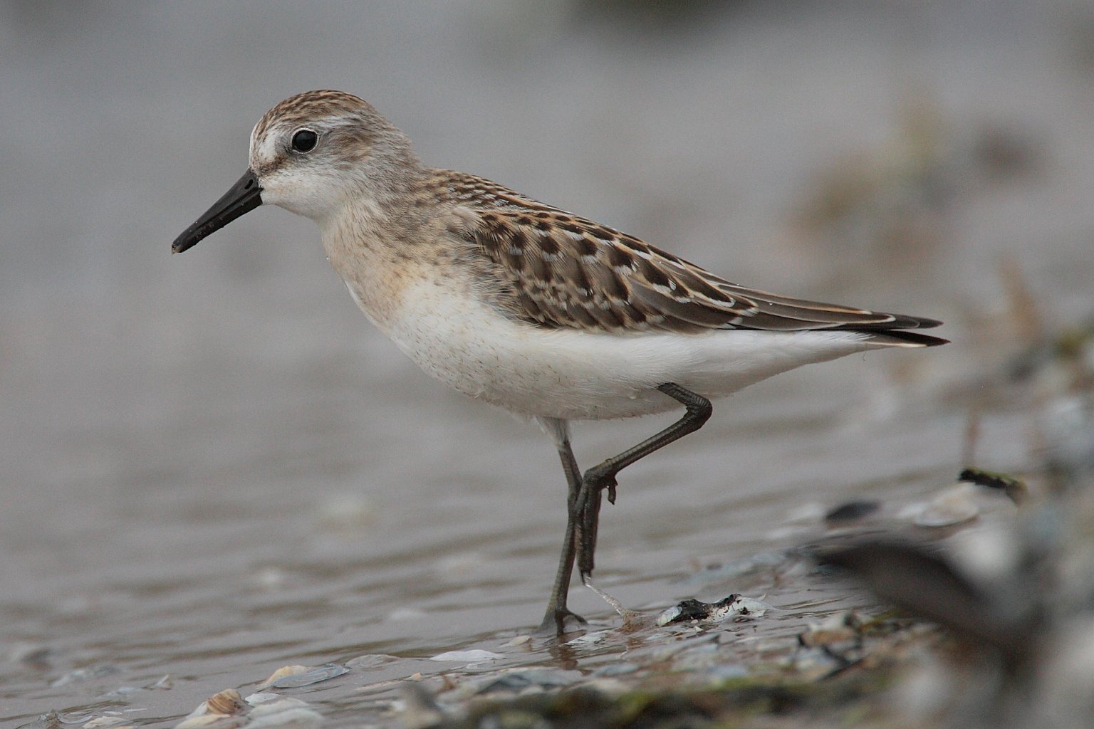
The Maranhão mangroves (in Portuguese: ''Reentrâncias Maranhenses'') is a mangrove ecoregion of northern Brazil. It supports half of the shorebird population of the country. The combination of flat land, heavy rainfall and high tides causes the mangroves to extend up to inland, where they are interspersed with other rainforest species. Location The ecoregion covers and area of on the Atlantic coast of Maranhão state. The ecoregion is part of the Guianan-Amazon Mangroves global ecoregion, which also contains the Guianan mangroves, Amapá mangroves and Pará mangroves ecoregions. The land is flat and tides may be as high as in same places, so salt water may reach inland along the many estuaries and rivers for as far as . The ecoregion may be divided into eastern and western parts. The western part extends from the Pará boundary along the coast of western Maranhão state to the Baía de São Marcos. Here the coastline is made up of hundreds of islands and mudflats, made u ... [...More Info...] [...Related Items...] OR: [Wikipedia] [Google] [Baidu] |
Pará Mangroves
The Pará mangroves (NT1427) is an ecoregion along the Atlantic coast of the state of Pará in Brazil. They constitute the western extension of the Maranhão mangroves ecoregion. The mangroves are relatively intact, although they are under some pressure from agriculture and logging. Location The Pará mangroves grow along the coast of the state of Pará, and extend inland along estuaries and rivers for up to . They include a stretch of the Atlantic coast of Marajó island, and the Marajó Bay and Atlantic coasts of mainland Pará. They adjoin the western part of the Maranhão mangroves ecoregion, stretching from near Belém on the Pará River along the coast of eastern Pará state to the border of Maranhão state. The mangroves adjoin the Tocantins–Araguaia–Maranhão moist forests further inland and the Marajó várzea at the mouth of the Amazon River. The ecoregion contains about 28% of the total mangrove area in Brazil. They are part of the larger Amazon–Orinoco–Southern ... [...More Info...] [...Related Items...] OR: [Wikipedia] [Google] [Baidu] |
Amapá Mangroves
The Amapá mangroves (NT1402) is an ecoregion along the Atlantic coast of the state of Amapá in Brazil. The low coastal plain has been formed from recent sedimentation, including sediments deposited by the rivers and sediments carried northward from the mouth of the Amazon River by strong currents and deposited by the tides. The extensive mangroves grow on the newly formed coastal mudflats and along the edges of estuaries. They merge into freshwater Várzea forest, várzea flooded forests further inland. The ecoregion is generally well-preserved, although excessive extraction of natural resources including timber and shrimps is a concern. Location The Amapá mangroves cover an area of . They run along the Atlantic coast to the north of the mouth of the Amazon River up to the mouth of the Cassiporé River. The ecoregion is naturally fragmented, with patches of mangroves developing where the conditions are suitable for their growth. The mangroves form the coastal margin of the Mara ... [...More Info...] [...Related Items...] OR: [Wikipedia] [Google] [Baidu] |
Guianan Mangroves
The Guianan mangroves (NT1411) is a coastal ecoregion of southeastern Venezuela, Guyana, Suriname, French Guiana and Brazil. The mangroves provide an important habitat for migrating birds that winter in the area. Large areas are intact, although they are threatened by destruction of the trees for timber and to make way for agriculture, and from upstream agricultural and industrial pollution. Location The Guianan mangroves ecoregion extends along the Atlantic coasts of northeastern Venezuela, Guyana, Suriname, French Guiana, and Cabo Orange in Brazil. It covers an area of about between the deltas of the Orinoco and Oyapock rivers. It includes the Gulf of Paria and the delta of the San Juan River. The largest part is in Venezuela in and around the Orinoco delta. The mangroves lie between the sea and areas of Orinoco Delta swamp forests, Guianan moist forests and Guianan freshwater swamp forests. The Guianan mangroves ecoregion is part of the Guianan-Amazon Mangroves global ec ... [...More Info...] [...Related Items...] OR: [Wikipedia] [Google] [Baidu] |
Maranhão
Maranhão () is a States of Brazil, state in Brazil. Located in the country's Northeast Region, Brazil, Northeast Region, it has a population of about 7 million and an area of and it is divided into 217 municipalities. Clockwise from north, it borders on the Atlantic Ocean for 2,243 km and the states of Piauí, Tocantins and Pará. The people of Maranhão have a distinctive accent within the common Northeastern Brazilian dialect. Maranhão is described in literary works such as ''Canção do exílio, Exile Song'' by Gonçalves Dias and ''Casa de Pensão'' by Aluísio Azevedo. The dunes of Lençóis Maranhenses National Park, Lençóis are an important area of environmental preservation. Also of interest is the state capital of São Luís, Maranhão, São Luís, which is a UNESCO World Heritage Site. Another important conservation area is the Parnaíba River delta, between the states of Maranhão and Piauí, with its lagoons, desert dunes and deserted beaches or islands, suc ... [...More Info...] [...Related Items...] OR: [Wikipedia] [Google] [Baidu] |
Pará
Pará () is a Federative units of Brazil, state of Brazil, located in northern Brazil and traversed by the lower Amazon River. It borders the Brazilian states of Amapá, Maranhão, Tocantins (state), Tocantins, Mato Grosso, Amazonas (Brazilian state), Amazonas and Roraima. To the northwest are the borders of Guyana and Suriname, to the northeast of Pará is the Atlantic Ocean. The capital and largest city is Belém, which is located at the Marajó bay, near the estuary of the Amazon river. The state, which is home to 4.1% of the Brazilian population, is responsible for just 2.2% of the Brazilian GDP. Pará is the most populous state of the North Region, Brazil, North Region, with a population of over 8.6 million, being the ninth-most populous state in Brazil. It is the second-largest state of Brazil in area, at , second only to Amazonas (Brazilian state), Amazonas upriver. Its most famous icons are the Amazon River and the Amazon rainforest. Pará produces Natural rubber, rubber ( ... [...More Info...] [...Related Items...] OR: [Wikipedia] [Google] [Baidu] |


