|
A562 Road
The A562 is a road in England which runs from Liverpool to Warrington Warrington () is an industrial town in the Borough of Warrington, borough of the same name in Cheshire, England. The town sits on the banks of the River Mersey and was Historic counties of England, historically part of Lancashire. It is east o .... Route Parliament Street At Liverpool, the road is known at first as Parliament Street. Upper Parliament Street to Speke Boulevard It then becomes Upper Parliament Street, Smithdown Road, Allerton Road, Menlove Avenue, Hillfoot Road, Hillfoot Avenue and Higher Road, before joining Speke Boulevard. Penketh It ends in Penketh, Warrington. External links * * Roads in England Roads in Cheshire Transport in Liverpool Roads in Merseyside {{England-road-stub ... [...More Info...] [...Related Items...] OR: [Wikipedia] [Google] [Baidu] |
Liverpool
Liverpool is a port City status in the United Kingdom, city and metropolitan borough in Merseyside, England. It is situated on the eastern side of the River Mersey, Mersey Estuary, near the Irish Sea, north-west of London. With a population of (in ), Liverpool is the administrative, cultural and economic centre of the Liverpool City Region, a combined authority, combined authority area with a population of over 1.5 million. Established as a borough in Lancashire in 1207, Liverpool became significant in the late 17th century when the Port of Liverpool was heavily involved in the Atlantic slave trade. The port also imported cotton for the Textile manufacture during the British Industrial Revolution, Lancashire textile mills, and became a major departure point for English and Irish emigrants to North America. Liverpool rose to global economic importance at the forefront of the Industrial Revolution in the 19th century and was home to the Liverpool and Manchester Railway, firs ... [...More Info...] [...Related Items...] OR: [Wikipedia] [Google] [Baidu] |
Warrington
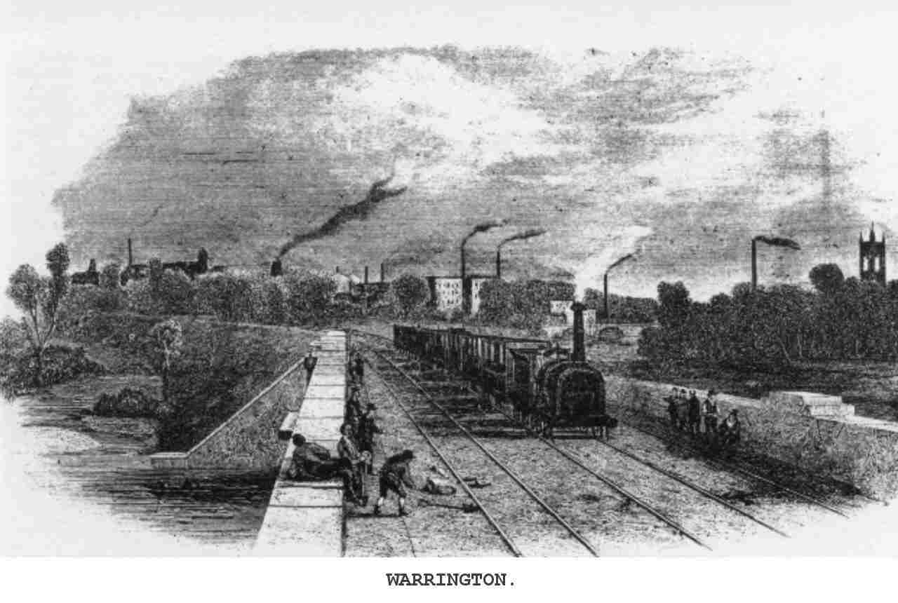
Warrington () is an industrial town in the Borough of Warrington, borough of the same name in Cheshire, England. The town sits on the banks of the River Mersey and was Historic counties of England, historically part of Lancashire. It is east of Liverpool and the same distance west of Manchester. The population in 2021 was recorded as 174,970 for the built-up area and 210,900 for the wider borough, the latter being more than double that of 1968 when it became a New towns in the United Kingdom, new town. Warrington is the largest town in the ceremonial county of Cheshire. Warrington was founded by the Roman Britain, Romans at an important crossing place on the River Mersey. A new settlement was established by the Saxons, Saxon Wærings. By the Middle Ages, Warrington had emerged as a market town at the lowest bridging point of the river. A local tradition of textile and tool production dates from this time. The expansion and urbanisation of Warrington coincided with the Industr ... [...More Info...] [...Related Items...] OR: [Wikipedia] [Google] [Baidu] |
Speke
Speke () is a suburb of Liverpool, Merseyside, England. It is southeast of the city centre. Located near the widest part of the River Mersey, it is bordered by the suburbs of Garston and Hunts Cross, and nearby to Halewood, Hale Village, and Widnes. The rural area of Oglet borders its south. History The name derives from the Old English ''Spec'', meaning 'brushwood' or from Middle English ''Spek(e)'', meaning 'woodpecker'. It was known as ''Spec'' in the ''Domesday Book'', which gave Speke Hall as one of the properties held by Uctred. Today Speke Hall, now a Tudor wood-framed house, is open to the public. In the mid 14th century, the manors of Speke, Whiston, Skelmersdale, and Parr were held by William Dacre, 2nd Baron Dacre. Speke was formerly a township in the parish of Childwall, in 1866 Speke became a separate civil parish, on 1 April 1932 the parish was abolished and merged with Liverpool. In 1931 the parish had a population of 384. Until the 1930s devel ... [...More Info...] [...Related Items...] OR: [Wikipedia] [Google] [Baidu] |
Widnes
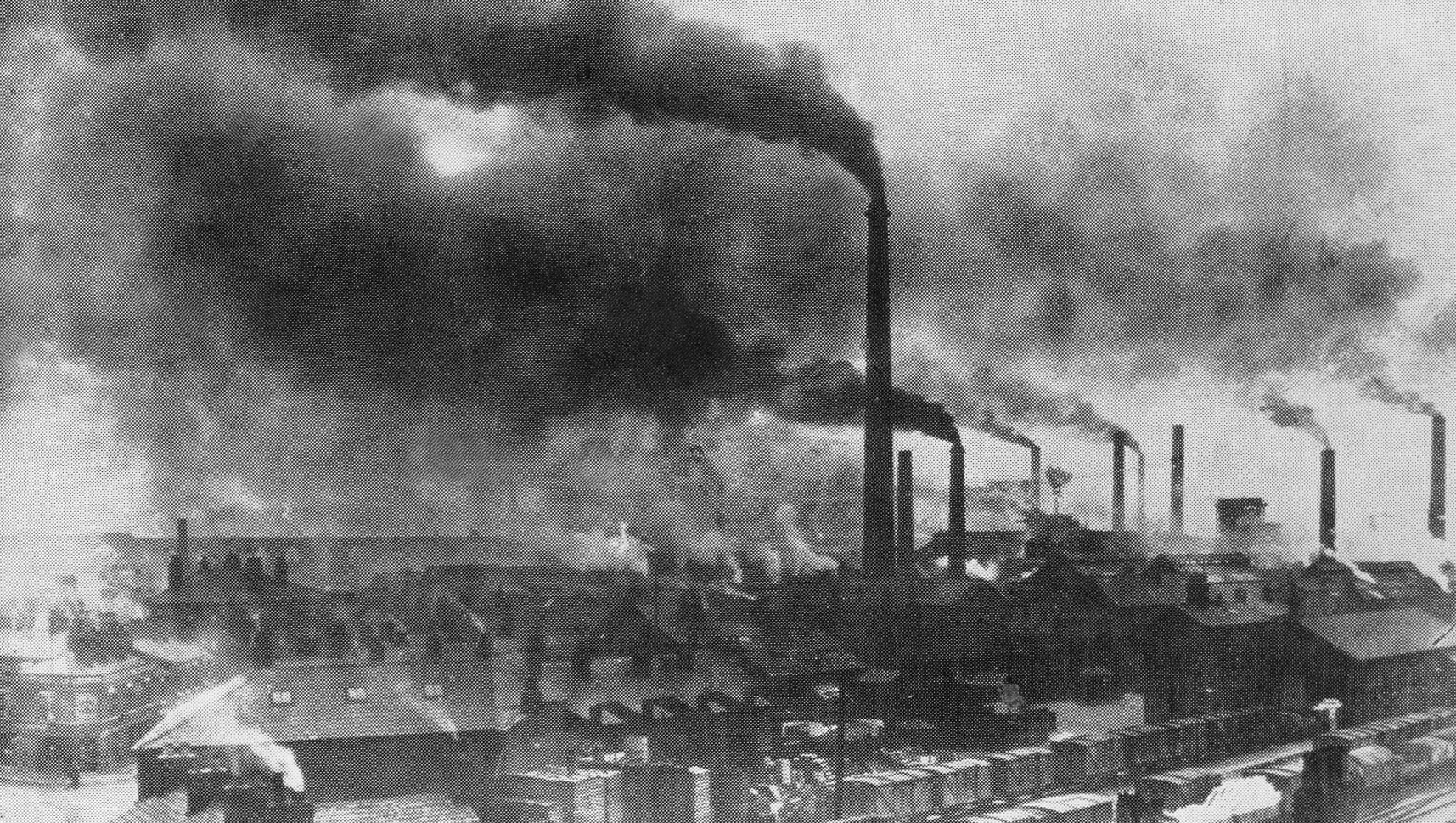
Widnes ( ) is an Industrial city, industrial town in the Borough of Halton, Cheshire, England, which at the 2021–2022 United Kingdom censuses, 2021 census had a population of 62,400. Historic counties of England, Historically in Lancashire, it is on the northern bank of the River Mersey where the estuary narrows to form the Runcorn Gap#Runcorn Gap, Runcorn Gap. Directly to the south across the Mersey is the town of Runcorn. Upstream to the east is Warrington, and 4 miles downstream to the west is Speke, a suburb of Liverpool. Before the Industrial Revolution, Widnes was a small settlement on marsh and moorland. In 1847, the chemist and industrialist John Hutchinson (industrialist), John Hutchinson established a chemical factory at Spike Island, Widnes, Spike Island. The town grew in population and rapidly became a major centre of the chemical industry. The demand for labour was met by large-scale immigration from Ireland, Poland, Lithuania and Wales. The town continues to be ... [...More Info...] [...Related Items...] OR: [Wikipedia] [Google] [Baidu] |
England
England is a Countries of the United Kingdom, country that is part of the United Kingdom. It is located on the island of Great Britain, of which it covers about 62%, and List of islands of England, more than 100 smaller adjacent islands. It shares Anglo-Scottish border, a land border with Scotland to the north and England–Wales border, another land border with Wales to the west, and is otherwise surrounded by the North Sea to the east, the English Channel to the south, the Celtic Sea to the south-west, and the Irish Sea to the west. Continental Europe lies to the south-east, and Ireland to the west. At the 2021 United Kingdom census, 2021 census, the population was 56,490,048. London is both List of urban areas in the United Kingdom, the largest city and the Capital city, capital. The area now called England was first inhabited by modern humans during the Upper Paleolithic. It takes its name from the Angles (tribe), Angles, a Germanic peoples, Germanic tribe who settled du ... [...More Info...] [...Related Items...] OR: [Wikipedia] [Google] [Baidu] |
Smithdown Road, Liverpool
Smithdown Road is a historic street in Liverpool, England, which now forms part of the A562. The area was previously known as Smithdown (Esmedune or Smeedon in Olde English) and dates back to 1086 when it was listed in the Domesday Book. The causeway that actually became what is now Smithdown Road emerges in documentation around 1775. It is currently the location of Toxteth Park Cemetery, Wavertree Playground and was previously the location of Sefton General Hospital, known as the Smithdown Hospital and before that the ''Old Workhouse.'' Demographics Smithdown Road, a long-established student quarter, is home to a large percentage of Liverpool's 55,000-plus university student population (alongside the city centre and Kensington). The upper part of the street separates Toxteth (L8) and Wavertree (L15), two of Liverpool's most ethnically diverse districts; Smithdown Road itself is the hub of Merseyside's Afro-Caribbean community. The area surrounding Smithdown Road is also hom ... [...More Info...] [...Related Items...] OR: [Wikipedia] [Google] [Baidu] |
Penketh
Penketh is a civil parish and suburb of Warrington in the Borough of Warrington, Cheshire, England. It is located about west of Warrington town centre. It has a population of 8,699. It is in the historic county of Lancashire. The emblem/badge of Penketh is three kingfishers. Etymology The name ''Penketh'' is first attested in 1243 as ''Penket'' and similar forms. The name is derived from two Common Brittonic words: *''penno-'' (head) and *''kēto-'' (trees), corresponding to modern Welsh (the place-name ''Pencoed'' is found widely in Wales). Thus the name once meant "end of the wood", suggesting that the parish was at one time on the outskirts of a forest. History Penketh was originally part of Prescot parish but became a chapelry and then a separate parish. It grew due to the crossing over the Mersey at Fiddlers Ferry and the building of the Sankey Canal. The area was mainly rural and agricultural until well into the 20th century, though a tannery and boatyard were establ ... [...More Info...] [...Related Items...] OR: [Wikipedia] [Google] [Baidu] |
Roads In England
The United Kingdom has a well developed and extensive network of roads totalling about . Road distances are shown in miles or yards and UK speed limits are indicated in miles per hour (mph) or by the use of the national speed limit (NSL) symbol. Some vehicle categories have various lower maximum limits enforced by speed limiters. A unified numbering system is in place for Great Britain, whilst in Northern Ireland, there is no available explanation for the allocation of road numbers. The earliest specifically engineered roads were built during the prehistoric British Iron Age. The road network was expanded during the Roman occupation. Some of these roads still remain to this day. New roads were added in the Middle Ages and from the 17th century onwards. Whilst control has been transferred between local and central bodies, current management and development of the road network is shared between local authorities, the devolved administrations of Scotland, Wales and Northern I ... [...More Info...] [...Related Items...] OR: [Wikipedia] [Google] [Baidu] |
Roads In Cheshire
A road is a thoroughfare used primarily for movement of traffic. Roads differ from streets, whose primary use is local access. They also differ from stroads, which combine the features of streets and roads. Most modern roads are paved. The words "road" and "street" are commonly considered to be interchangeable, but the distinction is important in urban design. There are many types of roads, including parkways, avenues, controlled-access highways (freeways, motorways, and expressways), tollways, interstates, highways, and local roads. The primary features of roads include lanes, sidewalks (pavement), roadways (carriageways), medians, shoulders, verges, bike paths (cycle paths), and shared-use paths. Definitions Historically, many roads were simply recognizable routes without any formal construction or some maintenance. The Organization for Economic Co-operation and Development (OECD) defines a road as "a line of communication (travelled way) using a stabilized base o ... [...More Info...] [...Related Items...] OR: [Wikipedia] [Google] [Baidu] |
Transport In Liverpool
Liverpool is a major city in North West England with significant road, Merseyrail, rail, and Mersey Ferry, ferry networks, in addition to Liverpool John Lennon Airport, an international airport and Port of Liverpool, a well-known dock system. As with most other major UK cities, Liverpool's transport infrastructure is centred on its road and rail networks. Public transport services within the city are controlled and run by Merseytravel. The road network in and around Liverpool is primarily managed by the relevant local authority in which the roads are located, although (in common with all parts of the UK outside of London) the major trunk roads, in England, are the responsibility of National Highways. Road Cars Liverpool has direct road links with many other major areas of England. The A5058 road / Queens Drive inner ring road was completed in 1927, the A580 road / East Lancs Road (the UK's first inter-city highway) to Salford was opened in 1934, and the M57 motorway outer ring ... [...More Info...] [...Related Items...] OR: [Wikipedia] [Google] [Baidu] |


