|
A1081 Road
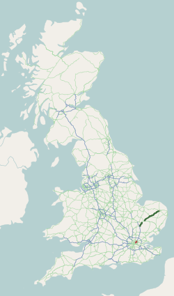
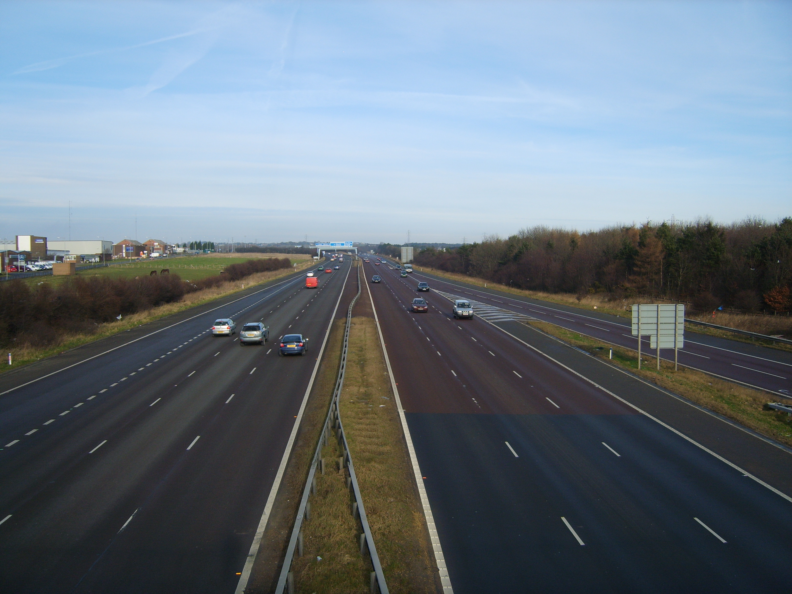
The A1081 is a road in the south of England. It starts at Luton Airport in Bedfordshire and runs to High Barnet in Greater London via Harpenden, St Albans and London Colney, a distance of around . For most of its length, the A1081 follows the route of the original A6. The route The first section of the A1081 runs south-west from Luton Airport to the spur of the M1 motorway on the southern outskirts of Luton. This section is a dual carriageway known as ''New Airport Way''. Just west of the airport, there is a junction with the A505. At the M1 spur, the A1081 turns south to join the route of the original A6. It skirts the grounds of Luton Hoo estate, then crosses into Hertfordshire, passing through Harpenden before reaching St Albans. In St Albans, the road has a junction with the A4147 and A1057 (both making up the former A414), then meets the A5183 (the former A5). At this point, it bears south-east, bypassing London Colney before reaching junction 22 of the M25 motorway ... [...More Info...] [...Related Items...] OR: [Wikipedia] [Google] [Baidu] |
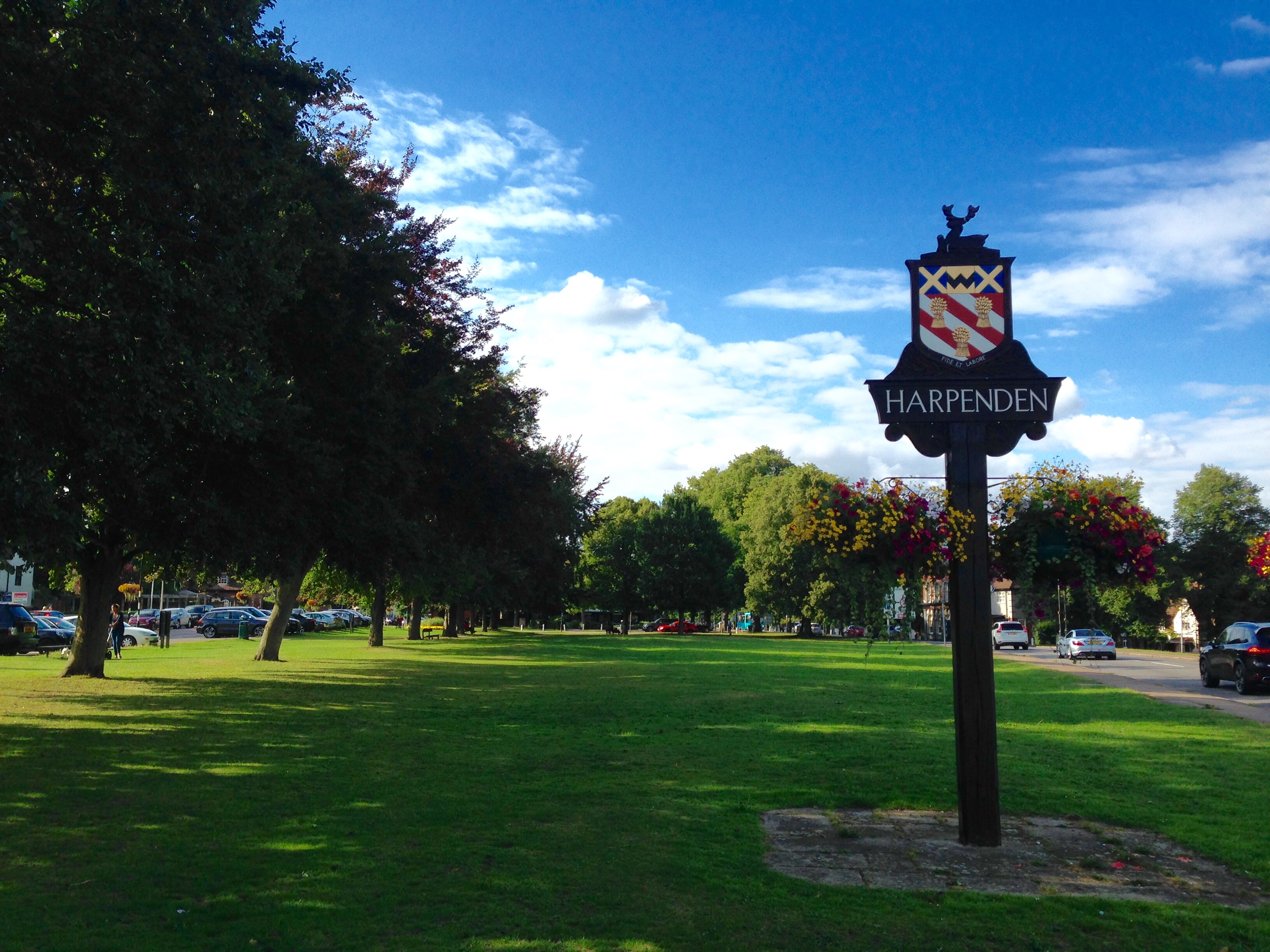
Harpenden
Harpenden () is a town and civil parish in the City and District of St Albans in the county of Hertfordshire, England. The population of the built-up area was 30,674 in the 2021 census, while the population of the civil parish was 31,128. Harpenden is a commuter town, with a direct rail connection to Central London. History There is evidence of pre-Roman Belgae, Belgic farmers in the area. In 1867, several items were found including a bronze escutcheon (heraldry), escutcheon, rams-head shaped mounts, and a bronze bowl. There are Ancient Rome, Roman remains in land around Harpenden, such as the site of a mausoleum in the park at Rothamsted. A tumulus near the river Lea was opened in the 1820s and it contained a stone sarcophagus of Romano-Celtic origin. Five objects dating from around 150 AD, were inside, including a glass jug with a Mediterranean stamp and samian ware dishes used for libations. Up to the 13th century, the area of the parish consisted of woodland with sm ... [...More Info...] [...Related Items...] OR: [Wikipedia] [Google] [Baidu] |
A5 Road (Great Britain)
The A5, the London-Holyhead trunk road, is a major road in England and Wales. It runs for about from London to the Irish Sea at the ferry port of Holyhead. In many parts the route follows that of the Roman Iter II route which later took the Anglo-Saxon name Watling Street. History Roman road The section of the A5 between London and Shrewsbury is roughly contiguous with one of the principal Roman roads in Britain: that between ''Londinium'' (modern-day London) and ''Deva'' (modern-day Chester), which diverges from the present-day A5 corridor at Wroxeter ('' Viroconium Cornoviorum'') near Shrewsbury. Telford's Holyhead Road The Act of Union 1800, which unified Great Britain and Ireland, gave rise to a need to improve communication links between London and Dublin. A parliamentary committee led to an act of Parliament, the ( 55 Geo. 3. c. 152) that authorised the purchase of existing turnpike road interests and, where necessary, the construction of new road, to com ... [...More Info...] [...Related Items...] OR: [Wikipedia] [Google] [Baidu] |
A113 Road
A113 and its variants are an inside joke and Easter egg in media developed by alumni of California Institute of the Arts, referring to the classroom used by graphic design and character animation students. History Students who have used the classroom include John Lasseter, Tim Burton, Michael Peraza, and Brad Bird. It has appeared in several Disney films and almost every Pixar movie. Brad Bird first used it for a license plate number in the " Family Dog" episode of ''Amazing Stories'': "I put it into every single one of my films, including my '' Simpsons'' episodes—it's sort of my version of caricaturist Al Hirschfeld's ' Nina'." It also appears in ''South Park'', ''Aqua Teen Hunger Force'', ''Family Guy'', ''American Dad!'', ''Doctor Who'' and the SPA Studios animated film '' Klaus'' (2019). The first movie Bird used it in was ''The Brave Little Toaster'' (1987), in which he worked on as an animator. It can be seen as The Master's apartment address when Toaster and his frien ... [...More Info...] [...Related Items...] OR: [Wikipedia] [Google] [Baidu] |
A406 Road
The North Circular Road (officially the A406 and sometimes known as simply the North Circular) is a ring road around Central London. It runs from Chiswick in the west to North Woolwich in the east via suburban north London, connecting various suburbs and other trunk roads in the region. Together with its counterpart, the South Circular Road, London, South Circular Road, it mostly forms a ring road around central London, except for crossing of the River Thames, which is done by the Woolwich Ferry. The road was constructed in the Interwar period to connect local industrial communities and by pass London. It was upgraded after World War II, and was at one point planned to become a motorway as part of the controversial and ultimately cancelled London Ringways scheme. In the early 1990s, the road was extended to bypass Barking, London, Barking and meet the A13 road (England), A13 north of Woolwich, though without a direct link to the ferry. The road's design varies from six-l ... [...More Info...] [...Related Items...] OR: [Wikipedia] [Google] [Baidu] |
A104 Road (England)
The A104 is an A road which runs from Islington Green in London to Epping in Essex, England. Route The A104 takes in Essex Road, Balls Pond Road, Dalston Lane (part of), Pembury Road, Cricketfield Road, Downs Road (part of), Lower Clapton Road (part of) and Lea Bridge Roundabout (both shared with A107), Lea Bridge Road, Whipps Cross Roundabout, Woodford New Road, High Road Woodford Green, and Epping New Road. History The southern section of the A104 follows its original course, as set out in the 1922 Ministry of Transport ''List of Class I and Class II Roads and Numbers''. The route was defined as "London (Essex Road, Balls Pond Road, Lea Bridge Road) - Woodford". The northern section - between Woodford and Wake Arms - was originally part of the A11, which ran continuously between Aldgate in the City of London and Norwich, Norfolk. The A11 through Woodford, Buckhurst Hill and Epping Forest became known as the A104 after the M11 motorway opened between Woodford and ... [...More Info...] [...Related Items...] OR: [Wikipedia] [Google] [Baidu] |
A1199 Road
This is a list of A roads in zone 1 in Great Britain beginning north of the River Thames The River Thames ( ), known alternatively in parts as the The Isis, River Isis, is a river that flows through southern England including London. At , it is the longest river entirely in England and the Longest rivers of the United Kingdom, s ..., east of the A1 (roads beginning with 1). Single- and double-digit roads Triple-digit roads Four-digit roads 1000s 1100s 1200s and higher References {{DEFAULTSORT:A Roads in Zone 1 of the Great Britain Numbering Scheme 1 1 1 ... [...More Info...] [...Related Items...] OR: [Wikipedia] [Google] [Baidu] |
A11 Road (England)
The A11 is a major trunk road in England. It originally ran roughly north east from London to Norwich, Norfolk. It now consists of a short section in Inner London and a much longer section in Cambridgeshire, Suffolk and Norfolk. The lengthy section between these was renumbered as a result of the opening of the M11 in the 1970s and then the A12 extension in 1999. It also multiplexes/overlaps with the A14 on the Newmarket bypass. Route City of London All this part has been declassified and is now a minor road. Thus the A11 now starts at Aldgate, just inside the eastern boundary of the City of London. The first stretch is Whitechapel High Street, east of the junction with Mansell Street. In a complex reworking of the roads since the days of the Aldgate gyratory system, it is two-way, but the east-bound section is part of the ring-road that retained a one-way system south of this junction, but the westbound section is for local access and motorists have to U-turn to avoid e ... [...More Info...] [...Related Items...] OR: [Wikipedia] [Google] [Baidu] |
A106 Road
This is a list of A roads in zone 1 in Great Britain beginning north of the River Thames The River Thames ( ), known alternatively in parts as the The Isis, River Isis, is a river that flows through southern England including London. At , it is the longest river entirely in England and the Longest rivers of the United Kingdom, s ..., east of the A1 (roads beginning with 1). Single- and double-digit roads Triple-digit roads Four-digit roads 1000s 1100s 1200s and higher References {{DEFAULTSORT:A Roads in Zone 1 of the Great Britain Numbering Scheme 1 1 1 ... [...More Info...] [...Related Items...] OR: [Wikipedia] [Google] [Baidu] |
A12 Road (England)
The A12 is a major road in Eastern England. It runs north-east/south-west between London and the coastal town of Lowestoft in the north-eastern corner of Suffolk, following a similar route to the Great Eastern Main Line until Ipswich. A section of the road between Lowestoft and Great Yarmouth became part of the A47 road, A47 in 2017. Between the junctions with the M25 and the A14, the A12 forms part of the unsigned International E-road network, Euroroute European route E30, E30 (prior to 1985, it was the E8). Unlike most Great Britain road numbering scheme, A roads, this section of the A12, together with the A14 road (Great Britain), A14 and the A55 road (Great Britain), A55, has junction numbers as if it were a motorway. The section of the A12 through Essex has sections of dual two lanes and dual three lanes, with eight changes in width between the M25 to Ipswich. It was named as Britain's worst road because of "potholes and regular closures due to roadworks" in a 2007 survey b ... [...More Info...] [...Related Items...] OR: [Wikipedia] [Google] [Baidu] |
Great North Road (Great Britain)
The Great North Road was the main highway between England and Scotland from medieval times until the 20th century. It became a coaching route used by mail coaches travelling between London, York and Edinburgh. The modern A1 road (Great Britain), A1 mainly parallels the route of the Great North Road. Coaching inns, many of which survive, were staging posts providing accommodation, stabling for horses and replacement mounts. Nowadays virtually no surviving coaching inns can be seen while driving on the A1, because the modern route bypasses the towns in which the inns are found. Route The traditional start point for the Great North Road was Smithfield, London, Smithfield Market on the edge of the City of London. The initial stretch of the road was St John Street, London, St John Street which begins on the boundary of the city (the site of the former Smithfield, London#West Smithfield Bars, West Smithfield Bars), and runs through north London. Less than a hundred metres up St John ... [...More Info...] [...Related Items...] OR: [Wikipedia] [Google] [Baidu] |
A1(M) Motorway
A1(M) is the designation given to a series of four separate controlled-access highway, motorway sections in the UK. Each section is an upgrade to a section of the A1 road (Great Britain), A1, a major north–south road which connects Greater London, London, the capital of England, with Edinburgh, the capital of Scotland. The first section, the Doncaster Bypass, opened in 1961 and is one of the oldest sections of motorway in Britain. Construction of a new section of A1(M) between Leeming, North Yorkshire, Leeming and Barton, North Yorkshire, Barton was completed on 29 March 2018, a year later than the anticipated opening in 2017 due to extensive archaeological excavations. Its completion linked the Barton to Washington, Tyne and Wear, Washington section with the Darrington, West Yorkshire, Darrington to Leeming Bar section, forming the longest A1(M) section overall and reducing the number of sections from five to four. In 2015, a proposal was made by three local government org ... [...More Info...] [...Related Items...] OR: [Wikipedia] [Google] [Baidu] |
A1 Road (Great Britain)
The A1, also known as the Great North Road, is the longest numbered road in the United Kingdom, at . It connects Greater London, London, the capital of England, with Edinburgh, the capital of Scotland. The numbering system for A-roads, devised in the early 1920s, was based around patterns of roads radiating from two hubs at London and Edinburgh. The first number in the system, A1, was given to the most important part of that system: the road from London to Edinburgh, joining the two central points of the system and linking two of the UK's mainland capital cities. It passes through or near north London, Hatfield, Hertfordshire, Hatfield, Stevenage, Baldock, Biggleswade, Peterborough, Stamford, Lincolnshire, Stamford, Grantham, Newark-on-Trent, Retford, Doncaster, Pontefract, York, Wetherby, Ripon, Darlington, Durham, England, Durham, Gateshead, Newcastle upon Tyne, Morpeth, Northumberland, Morpeth, Alnwick, Berwick-upon-Tweed, Dunbar, Haddington, East Lothian, Haddington, Muss ... [...More Info...] [...Related Items...] OR: [Wikipedia] [Google] [Baidu] |


