|
2008 California Wildfires
The 2008 wildfire season was one of California's most devastating in the 21st century. While 6,255 fires occurred, about two-thirds as many as in 2007, the total area burned— —far exceeded that of previous years. By July 5, 2008, 328 wildfires were burning, and those fires were only 81% contained. For the first time since 1977, the US military helped with ground-based firefighting, when Governor Arnold Schwarzenegger dispatched 400 California National Guard troops, including Chief Medical Officer Susan Pangelinan, to manage fire lines. He said the number of fires had stretched the state's fire-fighting resources thin. "One never has resources for 1,700 fires. Who has the resources for that?" Schwarzenegger said, adding, "Something is happening, clearly. There's more need for resources than ever before... it's fire season all year round." Fires Below is a list of all fires that exceeded during the 2008 fire season. The list is taken from CAL FIRE's list of large fires. ... [...More Info...] [...Related Items...] OR: [Wikipedia] [Google] [Baidu] |
Summit Fire (2008)
The Summit Fire was a wildfire that started on May 22, 2008, in the Santa Cruz Mountains, near Corralitos, California, United States. The fire was fully contained on May 27, 2008. No injuries or fatalities occurred, with the exception of twelve firefighters who received minor sprains, cuts and strains. The fire prompted mandatory evacuations of homes in the area. Several elementary, middle, and high schools were closed following the fire. California Governor Arnold Schwarzenegger declared a state of emergency for Santa Cruz County. The cause of the fire was an unattended burn pile . The fire has approached the area to the east which was consumed in October 2002 – the Croy Fire. Evacuations The fire affected Santa Clara and Santa Cruz Counties. Approximately 1,400 homes were evacuated. Of them 336 were mandatory. More than 2900 firefighters fought the fire. Residents were ordered to evacuate the area shortly before 3 PM. The fire also affected Maymens Flat, a tiny commu ... [...More Info...] [...Related Items...] OR: [Wikipedia] [Google] [Baidu] |
Blue 2 Complex Fire
The Klamath Theater Complex Fire, also known as the Bear Wallow Complex Fire, was the largest wildfire of the 2008 California wildfire season. The complex fire originated as 11 separate wildfires, before merging into a single massive complex fire that burned in Northern California, and lasted for over 3 months. The progenitor fires of the fire complex were all caused by lightning. As of 2024, the Klamath Theater Complex Fire was the 19th largest fire in modern California history. The complex fire killed a total of two firefighters. Progression On June 20, 2008, the Blue 2 Fire was ignited by lightning near the eastern edge of Del Norte County. On the next day, the first fires within the Siskiyou Complex Fire were ignited by lightning further east, in the western fringes of Siskiyou County. On June 21, 2008, at 4:00 PM PDT, the Caribou Fire, the first fire in the Bear Wallow Complex Fire was sparked by lightning, to the east of the Blue 2 and Siskiyou Complex Fires, in Klamath ... [...More Info...] [...Related Items...] OR: [Wikipedia] [Google] [Baidu] |
San Benito County, California
San Benito County (; ''San Benito'', Spanish for " St. Benedict"), officially the County of San Benito, is a county located in the Central Coast region of California. Situated in the California Coast Ranges, the county had a population of 64,209, as of the 2020 United States census. The county seat is the city of Hollister. San Benito County is included in the San Jose- Sunnyvale- Santa Clara, CA Metropolitan Statistical Area, which is also included in the San Jose-San Francisco-Oakland, CA Combined Statistical Area. El Camino Real passes through the county and includes one mission in San Juan Bautista. History Before the arrival of the first European settlers, the San Benito County area was inhabited by the Mutsun sub-group of the Ohlone Native Americans. In 1772 Father Juan Crespí conducted a brief expedition into the area and named a small river which he found in honor of San Benito de Nursia (Saint Benedict), the patron saint of monasticism. The county was lat ... [...More Info...] [...Related Items...] OR: [Wikipedia] [Google] [Baidu] |
Humboldt County, California
Humboldt County () is a county (United States), county located in the U.S. state of California. As of the 2020 United States census, 2020 census, the population was 136,463. The county seat is Eureka, California, Eureka. Humboldt County comprises the Eureka–Arcata, California, Arcata–Fortuna, California, Fortuna, California, Micropolitan Statistical Area. It is located on the far North Coast (California), North Coast of California, about north of San Francisco. It has among the most diverse climates of United States counties, with very mild coastal summers and hot interior days. Similar to the greater region, summers are extremely dry and winters have substantial rainfall. Its primary population centers of Eureka, the site of College of the Redwoods main campus, and the smaller college town of Arcata, California, Arcata, site of California State Polytechnic University, Humboldt, are located adjacent to Humboldt Bay, California's second largest natural bay. Area cities and ... [...More Info...] [...Related Items...] OR: [Wikipedia] [Google] [Baidu] |
Trinity County, California
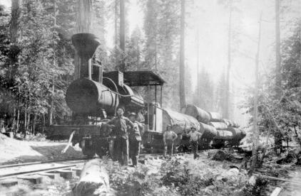
Trinity County is a county located in the northwestern portion of the U.S. state of California. Trinity County is rugged, mountainous, heavily forested, and lies along the Trinity River (for which it is named) within the Salmon, Klamath Mountains, as well as a portion of the Scott, Trinity, and North Yolla Bolly Mountains. It is also one of three counties in California with no incorporated cities (the other two counties in California with that distinction are Alpine and Mariposa counties). As of the 2020 census, the population was 16,112, making it the fifth least-populous county in California, and the least-populous of California's 27 original counties. The county seat and largest community is Weaverville. History Trinity County has a rich history of Native Americans: Tsnungwe including the South Fork Hupa and tł'oh-mitah-xwe, Chimariko, and Wintu. The county takes its name from the Trinity River, which was in turn named in 1845 by Major Pierson B. Reading, who was ... [...More Info...] [...Related Items...] OR: [Wikipedia] [Google] [Baidu] |
Lime Complex Fire
Lime most commonly refers to: * Lime (fruit), a green citrus fruit * Lime (material), inorganic materials containing calcium, usually calcium oxide or calcium hydroxide * Lime (color), a color between yellow and green Lime may also refer to: Botany * Australian lime, a species of ''Citrus'' native to Australia and Papua New Guinea * Key lime, a citrus hybrid with a spherical fruit * Persian lime, a citrus fruit species of hybrid origin * ''Tilia'', a genus of trees known in Britain as lime trees, lime-wood, basswood, or linden * Wild lime or ''Zanthoxylum fagara'', a green fruit native to the Americas Chemistry * Agricultural lime, a soil additive containing calcium carbonate and other ingredients * Birdlime, a sticky substance spread on branches to trap small birds * Calcium hydroxide, a.k.a. slaked lime, slack lime, limewater, pickling lime or hydrated lime ** Hydraulic lime, used to make lime mortar ** Limewater or calcium hydroxide, saturated calcium hydroxide solution * Cal ... [...More Info...] [...Related Items...] OR: [Wikipedia] [Google] [Baidu] |
Mendocino County, California
Mendocino County (; ''Mendocino'', Spanish language, Spanish for "of Antonio de Mendoza, Mendoza") is a County (United States), county located on the North Coast (California), North Coast of the U.S. state of California. As of the 2020 United States census, the population was 91,601. The county seat is Ukiah, California, Ukiah. Mendocino County consists wholly of the Ukiah, California Micropolitan Statistical Area, Micropolitan Statistical Area (μSA) for the purposes of the United States Census Bureau, U.S. Census Bureau. It is located approximately equidistant from the San Francisco Bay Area and California/Oregon border, separated from the Sacramento Valley to the east by the California Coast Ranges. While smaller areas of redwood forest are found farther south, it is the southernmost California county to be included in the World Wide Fund for Nature, World Wildlife Fund's Pacific temperate rainforests, Pacific temperate rainforests ecoregion, the largest temperate rainforest ... [...More Info...] [...Related Items...] OR: [Wikipedia] [Google] [Baidu] |
Tuolumne County, California
Tuolumne County (), officially the County of Tuolumne, is a County (United States), county located in the U.S. state of California. As of the 2020 United States census, 2020 census, the population was 55,620. The county seat and only incorporated city is Sonora, California, Sonora. Tuolumne County comprises the Sonora, CA Micropolitan Statistical Area. The county is in the Sierra Nevada region. The northern half of Yosemite National Park is located in the eastern part of the county. Etymology The name ''Tuolumne'' is of Native Americans in the United States, Native American origin and has been given different meanings, such as Many Stone Houses, The Land of Mountain Lions, and Straight Up Steep, the latter an interpretation of Chief William Fuller, William Fuller, a native Chief. Mariano Vallejo, in his report to the first California State Legislature, said that the word is "a corruption of the Native American word ''talmalamne'' which signifies 'cluster of stone wigwams.'" T ... [...More Info...] [...Related Items...] OR: [Wikipedia] [Google] [Baidu] |
Madera County, California
Madera County (), officially the County of Madera, is a County (United States), county located at the geographic center of the U.S. state of California. It features a varied landscape, encompassing the eastern San Joaquin Valley and the central Sierra Nevada (U.S.), Sierra Nevada, with Madera, California, Madera serving as the county seat. Established in 1893 from part of Fresno County, California, Fresno County, Madera County reported a population of 156,255 in the 2020 census. "Madera," meaning "wood" in Spanish, signifies the county's historical ties to the lumber industry. With a section of Yosemite National Park within its borders, Madera County has leveraged tourism as a key economic driver. Additionally, it has established itself as a leading agricultural center, renowned for its substantial production of almonds, grapes, and pistachios. Despite these economic advantages, Madera County encounters socioeconomic challenges, including a median household income that falls bel ... [...More Info...] [...Related Items...] OR: [Wikipedia] [Google] [Baidu] |
Butte County, California
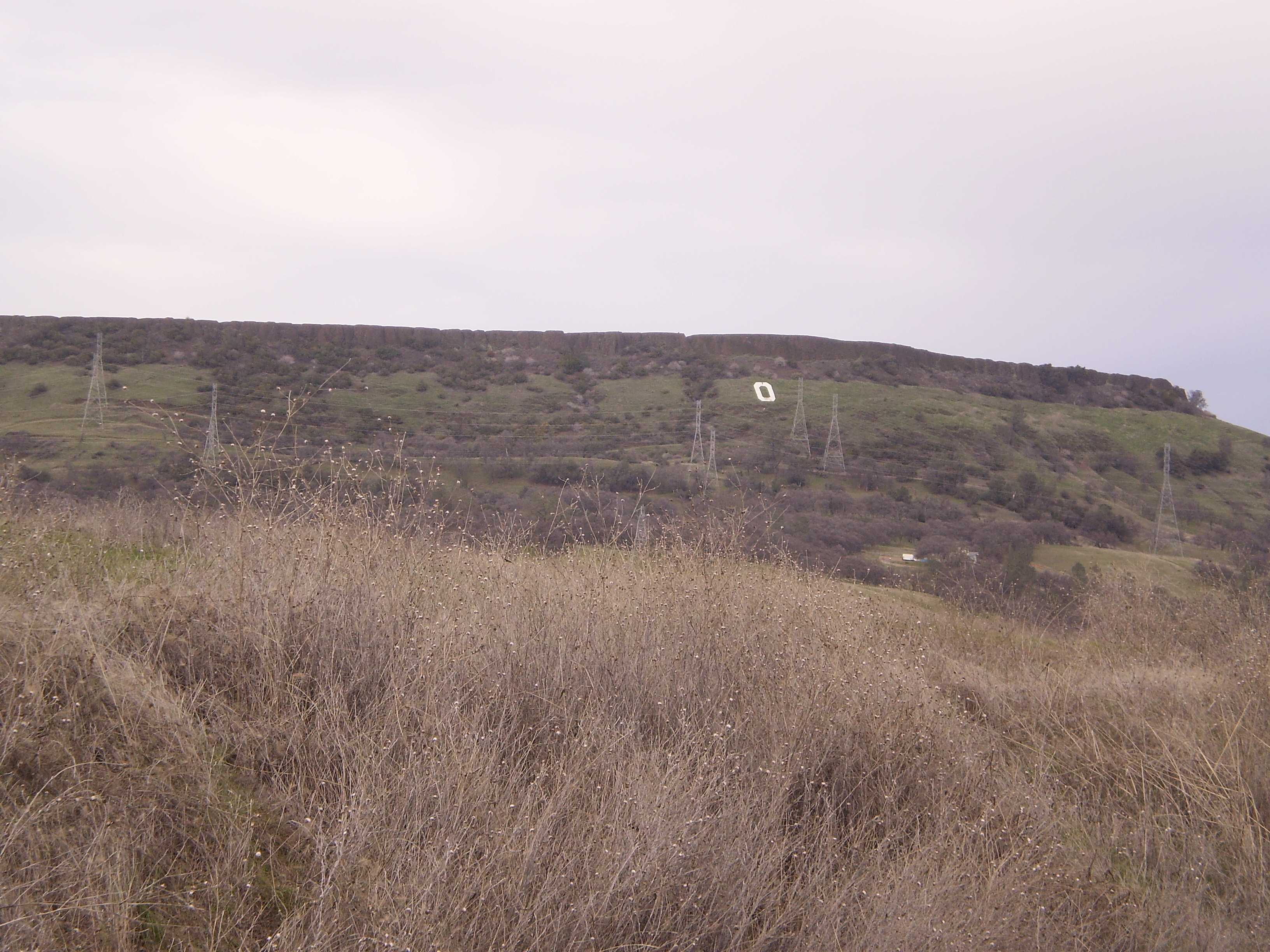
Butte County () is a county located in the northern central part of the U.S. state of California. In the 2020 census, its population was 211,632. The county seat is Oroville. Butte County comprises the Chico, California, metropolitan statistical area. It is in the California Central Valley, north of the state capital of Sacramento. Butte County is drained by the Feather River and the Sacramento River. Butte Creek and Big Chico Creek are additional perennial streams, both tributary to the Sacramento. The county is home to California State University, Chico and Butte College. History Butte County is named for the visually striking + Sutter Buttes in neighboring Sutter County. Butte County was incorporated as one of California's 27 original counties on February 18, 1850. The county went across the present limits of the Tehama, Plumas, Colusa, and Sutter Counties. Between November 8 and 25, 2018, a major wildfire, the Camp Fire, destroyed most of the town of Par ... [...More Info...] [...Related Items...] OR: [Wikipedia] [Google] [Baidu] |
Sacramento County, California
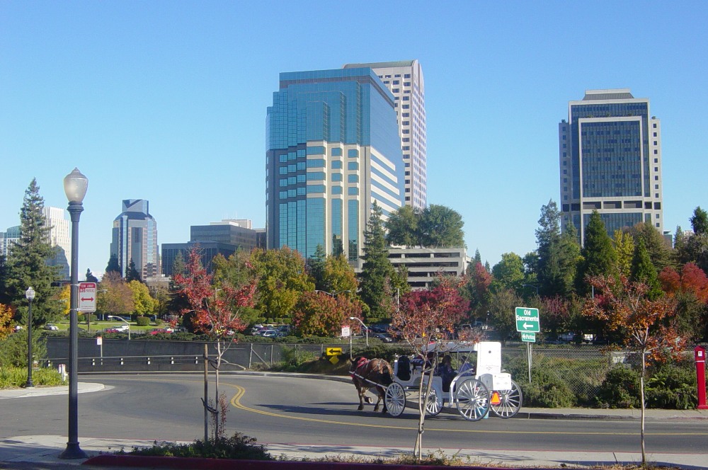
Sacramento County () is a County (United States), county located in the U.S. state of California. As of the 2020 United States census, the population was 1,585,055. Its county seat is Sacramento, California, Sacramento, which has been the List of capitals in the United States, state capital of California since 1854. Sacramento County is the central county of the Sacramento metropolitan area, Greater Sacramento metropolitan area. The county covers about in the northern portion of the Central Valley (California), Central Valley, on into Gold Country. Sacramento County extends from the low delta lands between the Sacramento River and San Joaquin River, including Suisun Bay, north to about beyond the State Capitol and east into the foothills of the Sierra Nevada (U.S.), Sierra Nevada Mountains. The southernmost portion of Sacramento County has direct access to San Francisco Bay. Since 2010, statewide droughts in California have further strained Sacramento County's water security. ... [...More Info...] [...Related Items...] OR: [Wikipedia] [Google] [Baidu] |


