Zuytdorp Cliffs on:
[Wikipedia]
[Google]
[Amazon]

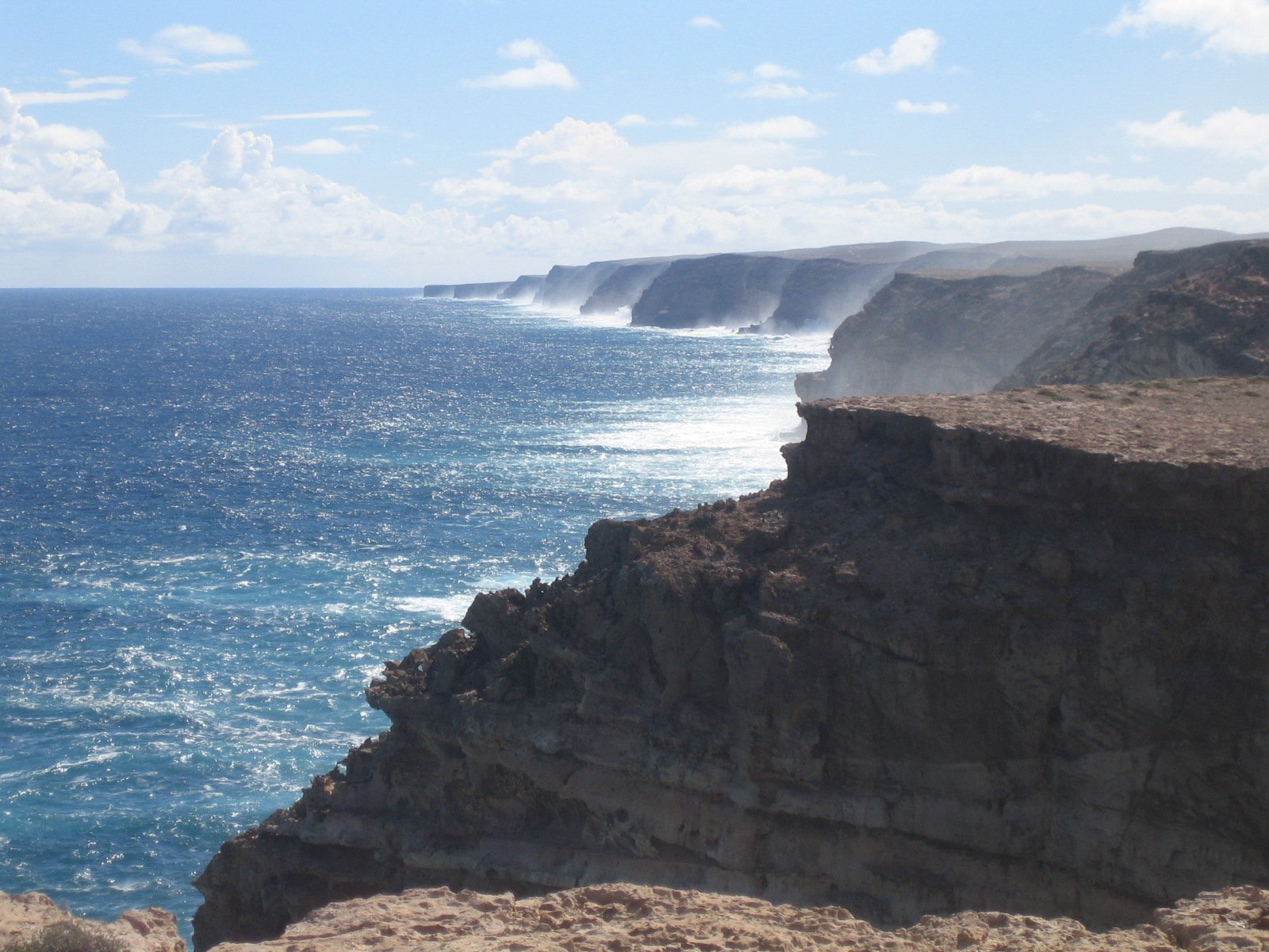
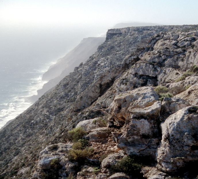
 The Zuytdorp Cliffs extend for about along a rugged, spectacular and little visited segment of the
GSWA download search
{{coord, 27, 11, S, 113, 56, E, region:AU-WA_type:landmark_scale:300000, display=title Shark Bay Cliffs of Australia

 The Zuytdorp Cliffs extend for about along a rugged, spectacular and little visited segment of the
 Western Australia
Western Australia (commonly abbreviated as WA) is a state of Australia occupying the western percent of the land area of Australia excluding external territories. It is bounded by the Indian Ocean to the north and west, the Southern Ocean to t ...
n Indian Ocean
The Indian Ocean is the third-largest of the world's five oceanic divisions, covering or ~19.8% of the water on Earth's surface. It is bounded by Asia to the north, Africa to the west and Australia to the east. To the south it is bounded by ...
coast. The cliffs extend from just south of the mouth of the Murchison River at Kalbarri, to Pepper Point south of Steep Point
Steep Point () is the westernmost point of mainland Australia. It is located within the Gascoyne region of Western Australia, north of the state's capital Perth, in the proposed Edel Land National Park. It is also a part of the Shark Bay ...
. The cliffs are situated in both the Gascoyne
The Gascoyne region is one of the nine administrative regions of Western Australia. It is located in the northwest of Western Australia, and consists of the local government areas of Carnarvon, Exmouth, Shark Bay and Upper Gascoyne. The Ga ...
and Mid West
The Midwestern United States, also referred to as the Midwest or the American Midwest, is one of four Census Bureau Region, census regions of the United States Census Bureau (also known as "Region 2"). It occupies the northern central part of ...
regions of the state.
At the highest point, near Womerangee Hill, the top of the cliffs are above the sea. They are named after a trading ship of the Dutch East India Company
The United East India Company ( nl, Verenigde Oostindische Compagnie, the VOC) was a chartered company established on the 20th March 1602 by the States General of the Netherlands amalgamating existing companies into the first joint-stock ...
, the ''Zuytdorp
''Zuytdorp'', also ''Zuiddorp'' (meaning "South Village", after Zuiddorpe, an extant village in the south of Zeeland in the Netherlands, near the Belgian border) was an 18th-century trading ship of the Dutch East India Company (Vereenigde Oost ...
'', that was wrecked against the cliffs in 1712.
Geology
The Zuytdorp Cliffs are composed ofPleistocene
The Pleistocene ( , often referred to as the ''Ice age'') is the geological Epoch (geology), epoch that lasted from about 2,580,000 to 11,700 years ago, spanning the Earth's most recent period of repeated glaciations. Before a change was fina ...
aged limestone
Limestone ( calcium carbonate ) is a type of carbonate sedimentary rock which is the main source of the material lime. It is composed mostly of the minerals calcite and aragonite, which are different crystal forms of . Limestone forms w ...
, a formation called the Tamala Limestone. This limestone formed by the cementation of ancient calcareous
Calcareous () is an adjective meaning "mostly or partly composed of calcium carbonate", in other words, containing lime or being chalky. The term is used in a wide variety of scientific disciplines.
In zoology
''Calcareous'' is used as an ad ...
sand dunes that accumulated near the coast during episodes of the last ice age
An ice age is a long period of reduction in the temperature of Earth's surface and atmosphere, resulting in the presence or expansion of continental and polar ice sheets and alpine glaciers. Earth's climate alternates between ice ages and gre ...
. It has been inferred that the relatively straight edge of the cliffs is due to a major fault line just off shore.Hearty, Paul J & O'Leary, Michael J (2008-02-01). Carbonate eolianites, quartz sands, and Quaternary sea-level cycles, Western Australia: A chronostratigraphic approach.(Report). In Quaternary Geochronology. 3 (1-2), 26(30). summary included the following: ''at the type locality of the Tamala Limestone along the Zuytdorp Cliffs, the upper eolianite-paleosol units are characterized ... orey advanced stages of cavernous weathering, pedogenesis, and recrystallization.j''
References
Further reading
* Hocking R.M., van der Graaff W.J.E., Blockley J.G., Butcher B.P. 1982. Ajana, Western Australia, 1:250,000 Geological Map Series, SG50-13, Explanatory Notes, Geological Survey of Western AustraliaGSWA download search
{{coord, 27, 11, S, 113, 56, E, region:AU-WA_type:landmark_scale:300000, display=title Shark Bay Cliffs of Australia