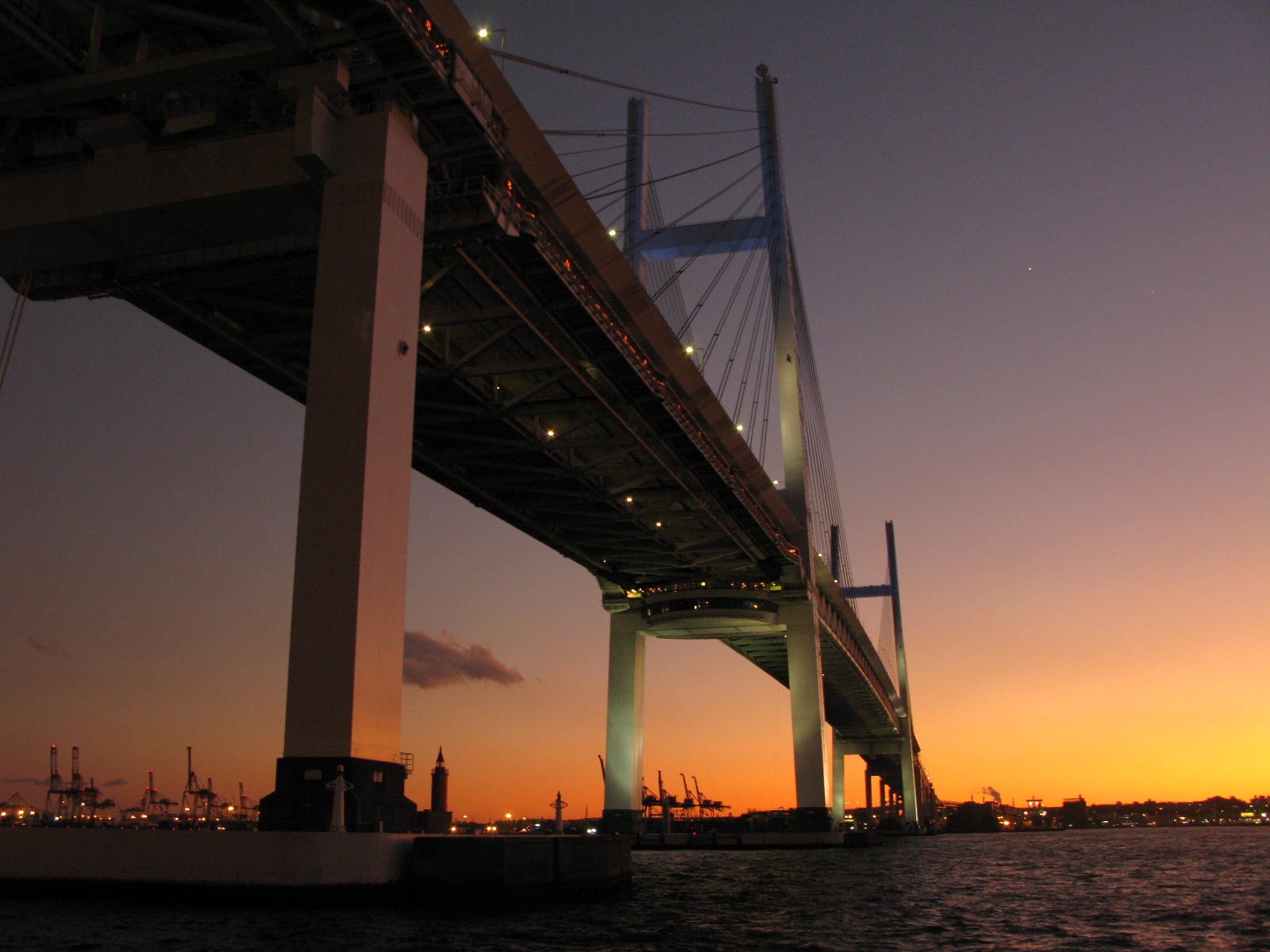
Yokohama Bay Bridge on:
[Wikipedia]
[Google]
[Amazon]
 The is an
 The is an
 cable stayed bridge
A cable-stayed bridge has one or more ''towers'' (or ''pylons''), from which cables support the bridge deck. A distinctive feature are the cables or stays, which run directly from the tower to the deck, normally forming a fan-like pattern ...
in Yokohama, Japan
is the second-largest city in Japan by population and the most populous municipality of Japan. It is the capital city and the most populous city in Kanagawa Prefecture, with a 2020 population of 3.8 million. It lies on Tokyo Bay, south of T ...
. Opened September 27, 1989, it crosses Tokyo Bay
is a bay located in the southern Kantō region of Japan, and spans the coasts of Tokyo, Kanagawa Prefecture, and Chiba Prefecture. Tokyo Bay is connected to the Pacific Ocean by the Uraga Channel. The Tokyo Bay region is both the most populou ...
with a span of 460 metres (1,510 feet). The toll is ¥600. The bridge is part of the Bayshore Route
The signed as Route B, is one of the routes of the tolled Shuto Expressway system in the Greater Tokyo Area. The Bayshore Route is a stretch of toll highway that runs from the Kanazawa ward of Yokohama in the west, northeast to the city of ...
of the Shuto Expressway
is a network of toll expressways in the Greater Tokyo Area of Japan. It is operated and maintained by the .
Most routes are grade-separated (elevated roads or tunnels) and central routes have many sharp curves and multi-lane merges that requi ...
.
Notes
External links
* Naka-ku, Yokohama Bridges completed in 1989 Cable-stayed bridges in Japan Buildings and structures in Yokohama Toll bridges in Japan 1989 establishments in Japan Transport in Yokohama Double-decker bridges {{Kanagawa-geo-stub