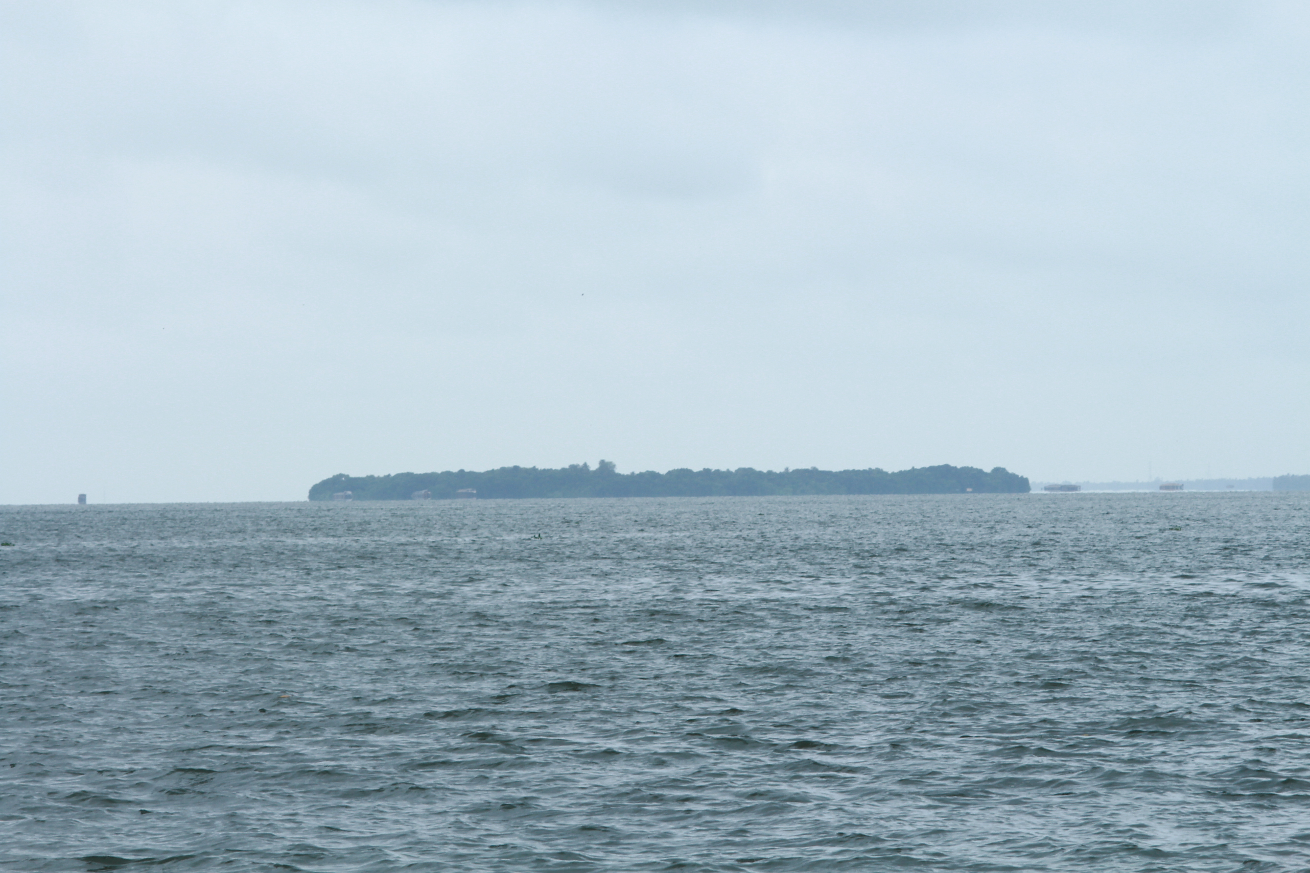
Thanneermukkom Bund on:
[Wikipedia]
[Google]
[Amazon]
The Thanneermukkom Bund (Thannermukkom Salt Water Barrier) was constructed as a part of the
 This barrier has helped the farmers in
Study on the Environmental Impact
Buildings and structures in Alappuzha district Dams in Kerala Dams completed in 1976 1976 establishments in Kerala Bridges in Kerala Transport in Alappuzha district Tourist attractions in Alappuzha district Transport in Kottayam district Buildings and structures in Kottayam district {{alappuzha-geo-stub
Kuttanad
Kuttanad ( ml, കുട്ടനാട്) is a region covering the Alappuzha, Kottayam and Pathanamthitta Districts, in the state of Kerala, India, well known for its vast paddy fields and geographical peculiarities. The region has the lo ...
Development Scheme to prevent tidal action and intrusion of salt water into the Kuttanad low-lands across Vembanad
Vembanad is the longest lake in India, as well as the largest lake in the state of Kerala. The lake has an area of 230 square kilometers and a maximum length of 96.5 km. Spanning several districts in the state of Kerala, it is known as Ve ...
Lake between Thannermukkom on west and Vechur on east. Thanneermukkom Bund was constructed in 1974 and is functional since 1976. It is the largest mud regulator in India. This barrier essentially divides the lake into two parts - one with brackish water perennially and the other half with fresh water fed by the rivers draining into the lake.
Geography
The bund is inKuttanad
Kuttanad ( ml, കുട്ടനാട്) is a region covering the Alappuzha, Kottayam and Pathanamthitta Districts, in the state of Kerala, India, well known for its vast paddy fields and geographical peculiarities. The region has the lo ...
, Kerala
Kerala ( ; ) is a state on the Malabar Coast of India. It was formed on 1 November 1956, following the passage of the States Reorganisation Act, by combining Malayalam-speaking regions of the erstwhile regions of Cochin, Malabar, South ...
, India
India, officially the Republic of India (Hindi: ), is a country in South Asia. It is the seventh-largest country by area, the second-most populous country, and the most populous democracy in the world. Bounded by the Indian Ocean on the so ...
, located at . The barrier has divided the Vembanad lake into two parts converting the upstream part in to a fresh water coastal reservoir. It is presently the only one coastal reservoir in India.
Location
It has been built across Lake Vembanad. It connects Vechoor of Vaikom taluk of Kottayam district and Thanneermukkom of Cherthala taluk Alappuzha district. It can be reached by road, from Kottayam town, Alappuzha orCherthala
Cherthala, , (formerly Shertalai, Shertallai or Shertallay) is a Municipal town and a Taluk located at National highway 66 in the district of Alappuzha, in the state of Kerala, India. Cherthala is the satellite town and industrial hub of Al ...
. Frequent bus services are available from all the places mentioned.
Environmental Impact
 This barrier has helped the farmers in
 Kuttanad
Kuttanad ( ml, കുട്ടനാട്) is a region covering the Alappuzha, Kottayam and Pathanamthitta Districts, in the state of Kerala, India, well known for its vast paddy fields and geographical peculiarities. The region has the lo ...
- where farming occurs below sea level. It has however also created ecological problems, primarily, the rampant propagation of the Water Hyacinth
''Pontederia crassipes'' (formerly ''Eichhornia crassipes''), commonly known as common water hyacinth is an aquatic plant native to South America, naturalized throughout the world, and often invasive outside its native range.monsoon
A monsoon () is traditionally a seasonal reversing wind accompanied by corresponding changes in precipitation but is now used to describe seasonal changes in atmospheric circulation and precipitation associated with annual latitudinal osci ...
to pass the flood waters and are closed later for six months approximately.
References
External links
Study on the Environmental Impact
Buildings and structures in Alappuzha district Dams in Kerala Dams completed in 1976 1976 establishments in Kerala Bridges in Kerala Transport in Alappuzha district Tourist attractions in Alappuzha district Transport in Kottayam district Buildings and structures in Kottayam district {{alappuzha-geo-stub