Stanground North on:
[Wikipedia]
[Google]
[Amazon]
 Stanground North was a
 Stanground North - Population
/ref>
 Stanground North was a
 civil parish
In England, a civil parish is a type of administrative parish used for local government. It is a territorial designation which is the lowest tier of local government below districts and counties, or their combined form, the unitary authorit ...
in the City of Peterborough, Cambridgeshire
Cambridgeshire (abbreviated Cambs.) is a county in the East of England, bordering Lincolnshire to the north, Norfolk to the north-east, Suffolk to the east, Essex and Hertfordshire to the south, and Bedfordshire and Northamptonshire to the ...
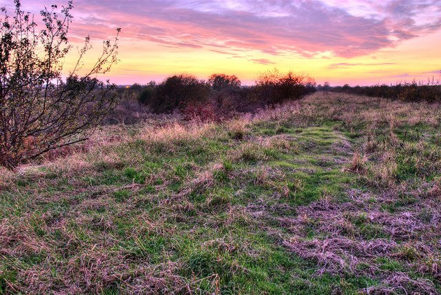
, England. The 2001 census recorded a population of zero. The parish, which covered open fields on a flood plain of the River Nene
The River Nene ( or : see below) is a river in the east of England that rises from three sources in Northamptonshire.OS Explorer Map sheet 223, Northampton & Market Harborough, Brixworth & Pitsford Water. The river is about long, about of w ...
, has since been abolished as redundant.
The parish was originally created in 1905, when Stanground parish was divided into two ( Stanground South becoming part of Old Fletton urban district
Urban district may refer to:
* District
* Urban area
* Quarter (urban subdivision)
* Neighbourhood
Specific subdivisions in some countries:
* Urban districts of Denmark
* Urban districts of Germany
* Urban district (Great Britain and Ireland) (hist ...
), having hitherto been the only parish to still cross a county border.
From then until 1974, it formed the only parish in Thorney Rural District
{{coord, 52.587, -0.109, display=title, region:GB_scale:50000
Thorney was a rural district in England from 1894 to 1974, situated to the east of Peterborough.
It was created under the Local Government Act 1894, covering the parishes of Thorney ...
apart from Thorney, Cambridgeshire
Thorney is a village in the Peterborough unitary authority in the ceremonial county of Cambridgeshire, England. Located around eight miles (13 km) east of Peterborough city centre, on the A47.
Historically in the Isle of Ely, Thorney w ...
, being in Isle of Ely
The Isle of Ely () is a historic region around the city of Ely in Cambridgeshire, England. Between 1889 and 1965, it formed an administrative county.
Etymology
Its name has been said to mean "island of eels", a reference to the creatures th ...
until 1965 and then Huntingdon and Peterborough. In 1974 it became part of the Peterborough district of Cambridgeshire
Cambridgeshire (abbreviated Cambs.) is a county in the East of England, bordering Lincolnshire to the north, Norfolk to the north-east, Suffolk to the east, Essex and Hertfordshire to the south, and Bedfordshire and Northamptonshire to the ...
.
It had a peak population of 43 in the census of 1921./ref>
References
Former civil parishes in Cambridgeshire Geography of Peterborough Unparished areas in Cambridgeshire {{Cambridgeshire-geo-stub