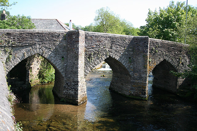
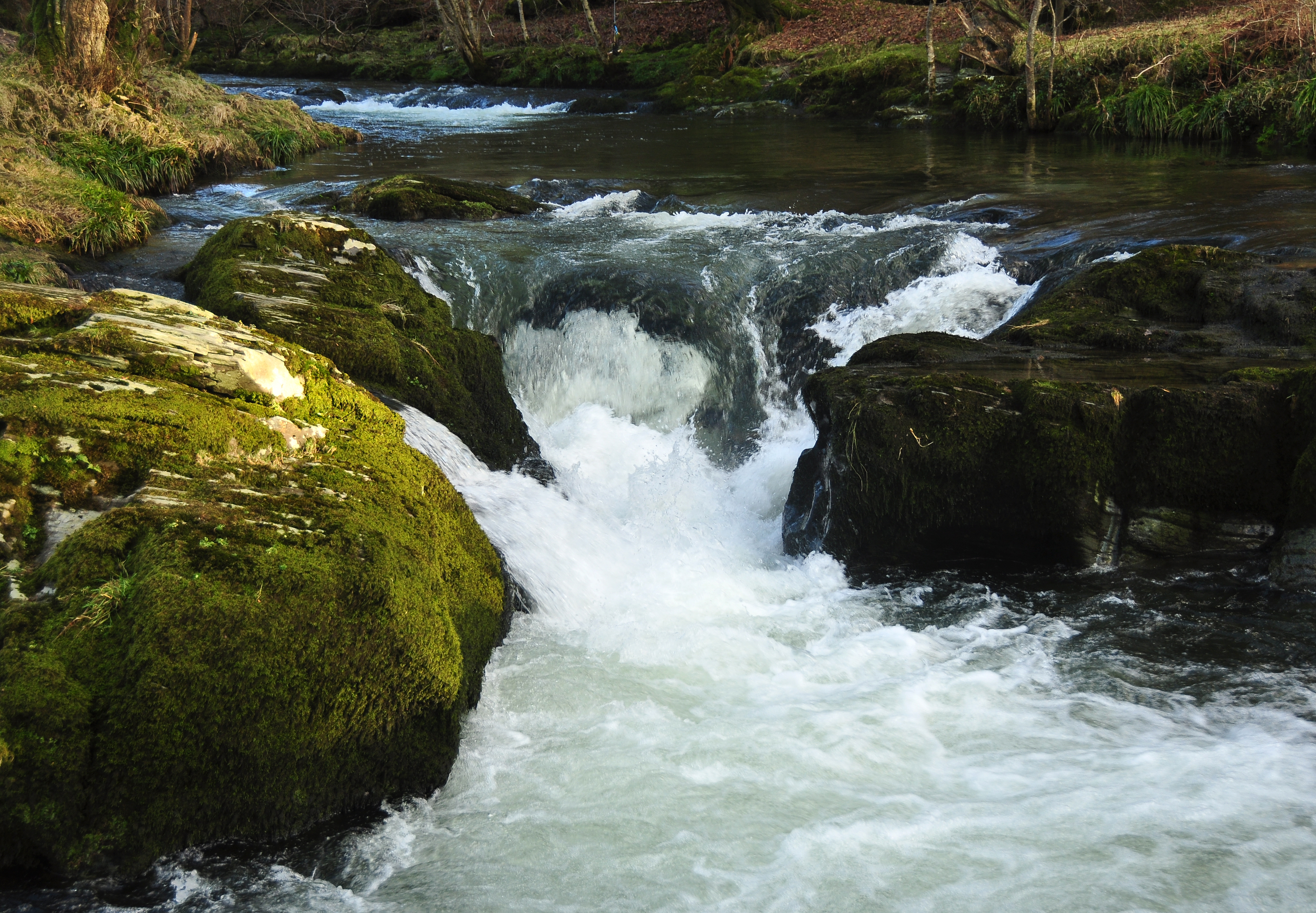
River Walkham on:
[Wikipedia]
[Google]
[Amazon]
 The Walkham is a
 The confluence of the Walkham and Tavy is a few hundred metres downstream from the Tavistock Canal a mainly closed canal with many mining heritage centres, leading to the Tavy's near-neighbour, the
 The Walkham is a
 river
A river is a natural flowing watercourse, usually freshwater, flowing towards an ocean, sea, lake or another river. In some cases, a river flows into the ground and becomes dry at the end of its course without reaching another body of ...
whose source is on Dartmoor
Dartmoor is an upland area in southern Devon, England. The moorland and surrounding land has been protected by National Park status since 1951. Dartmoor National Park covers .
The granite which forms the uplands dates from the Carboniferous P ...
, Devon
Devon ( , historically known as Devonshire , ) is a ceremonial and non-metropolitan county in South West England. The most populous settlement in Devon is the city of Plymouth, followed by Devon's county town, the city of Exeter. Devo ...
, England. It rises in the wide gap between Roos Tor and Great Mis Tor and flows almost due south for approximately leaving the tors and thus National Park
A national park is a natural park in use for conservation purposes, created and protected by national governments. Often it is a reserve of natural, semi-natural, or developed land that a sovereign state declares or owns. Although individual ...
behind then south-west for past Woodtown
Woodtown is a hamlet on Dartmoor in Devon, England. It is roughly south of Sampford Spiney along the river Walkham
The Walkham is a river whose source is on Dartmoor, Devon, England. It rises in the wide gap between Roos Tor and Great Mis ...
. The river then reaches a village, Horrabridge, with a small compact network of streets mainly on the south or left bank. It receives most of its tributaries which are unnamed headwaters along its south-flowing inception, draining the near side of two series of six tors (peaks) to the west ending in Pew Tor at 320 metres and likewise to the east ending in Leeden Tor at 389 metres (above mean sea level). In absolute distance, west of the village and the same south of the small well-preserved town of Tavistock
Tavistock ( ) is an ancient stannary and market town within West Devon, England. It is situated on the River Tavy from which its name derives. At the 2011 census the three electoral wards (North, South and South West) had a population of 13 ...
by a footbridge on the West Devon Way
The West Devon Way is a waymarked long-distance footpath in South West England in the United Kingdom. The West Devon Way runs for 58 km (36 mi).
Route
The route runs from the western fringes of Dartmoor National Park moorland coun ...
the Walkham joins the Tavy which discharges into the Tamar Estuary north of the Plymouth
Plymouth () is a port city status in the United Kingdom, city and unitary authority in South West England. It is located on the south coast of Devon, approximately south-west of Exeter and south-west of London. It is bordered by Cornwall to ...
conurbation after a fast descent around wide hillsides, a few miles south.
Trivia
 The confluence of the Walkham and Tavy is a few hundred metres downstream from the Tavistock Canal a mainly closed canal with many mining heritage centres, leading to the Tavy's near-neighbour, the
 River Tamar
The Tamar (; kw, Dowr Tamar) is a river in south west England, that forms most of the border between Devon (to the east) and Cornwall (to the west). A part of the Tamar Valley is a World Heritage Site due to its historic mining activities.
T ...
- see the Cornwall and West Devon Mining Landscape World Heritage Site.
See also
* Rivers of the United KingdomExternal links
Rivers of Devon Dartmoor 2Walkham {{England-river-stub