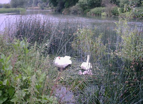
Ouse Valley Way on:
[Wikipedia]
[Google]
[Amazon]
 The Ouse Valley Way is a 150-mile footpath in
Huntingdonshire website
- notes on the section from
Borough of Milton Keynes
- notes on the route from
 The Ouse Valley Way is a 150-mile footpath in
 England
England is a country that is part of the United Kingdom. It shares land borders with Wales to its west and Scotland to its north. The Irish Sea lies northwest and the Celtic Sea to the southwest. It is separated from continental Europe ...
, following the River Great Ouse
The River Great Ouse () is a river in England, the longest of several British rivers called "Ouse". From Syresham in Northamptonshire, the Great Ouse flows through Buckinghamshire, Bedfordshire, Cambridgeshire and Norfolk to drain into the W ...
from its source near Syresham in Northamptonshire
Northamptonshire (; abbreviated Northants.) is a county in the East Midlands of England. In 2015, it had a population of 723,000. The county is administered by
two unitary authorities: North Northamptonshire and West Northamptonshire. It ...
to its mouth in The Wash
The Wash is a rectangular bay and multiple estuary at the north-west corner of East Anglia on the East coast of England, where Norfolk meets Lincolnshire and both border the North Sea. One of Britain's broadest estuaries, it is fed by the riv ...
near King's Lynn
King's Lynn, known until 1537 as Bishop's Lynn and colloquially as Lynn, is a port and market town in the borough of King's Lynn and West Norfolk in the county of Norfolk, England. It is located north of London, north-east of Peterborough, nor ...
. The path begins outside the King's Head pub in Syresham and ends on the Green Quay in King's Lynn
There is a long-term plan to complete remaining gaps in the path, meanwhile it is possible to walk the entire route, although in places the footpath and river temporarily part company.
The route passes many interesting places and there is much to see, including attractive countryside, pretty villages, ancient English market towns, churches and a cathedral, and abundant wildlife.
Towns from source to mouth include Buckingham
Buckingham ( ) is a market town in north Buckinghamshire, England, close to the borders of Northamptonshire and Oxfordshire, which had a population of 12,890 at the United Kingdom Census 2011, 2011 Census. The town lies approximately west of ...
, Milton Keynes
Milton Keynes ( ) is a city and the largest settlement in Buckinghamshire, England, about north-west of London. At the 2021 Census, the population of its urban area was over . The River Great Ouse forms its northern boundary; a tributary ...
, Olney, Bedford
Bedford is a market town in Bedfordshire, England. At the 2011 Census, the population of the Bedford built-up area (including Biddenham and Kempston) was 106,940, making it the second-largest settlement in Bedfordshire, behind Luton, whilst t ...
, St Neots
St NeotsPronunciation of the town name: Most commonly, but variations that ''saint'' is said as in most English non-georeferencing speech, the ''t'' is by a small minority of the British pronounced and higher traces of in the final syllable ...
, Huntingdon
Huntingdon is a market town in the Huntingdonshire district in Cambridgeshire, England. The town was given its town charter by John, King of England, King John in 1205. It was the county town of the historic county of Huntingdonshire. Oliver Cr ...
, St Ives, Ely, Downham Market
Downham Market, sometimes simply referred to as Downham, is a market town and civil parish in Norfolk, England. It lies on the edge of the Fens, on the River Great Ouse, approximately 11 miles south of King's Lynn, 39 miles west of Norwich and 30 ...
, and King's Lynn
King's Lynn, known until 1537 as Bishop's Lynn and colloquially as Lynn, is a port and market town in the borough of King's Lynn and West Norfolk in the county of Norfolk, England. It is located north of London, north-east of Peterborough, nor ...
.
The route is way-marked and maintained by The Countryside Agency who also provide maps and written guides online.
A small section of the Ouse Valley Way is used on the Pathfinder March.
External links
Huntingdonshire website
- notes on the section from
St Neots
St NeotsPronunciation of the town name: Most commonly, but variations that ''saint'' is said as in most English non-georeferencing speech, the ''t'' is by a small minority of the British pronounced and higher traces of in the final syllable ...
to Earith
Earith is a village and civil parish in Cambridgeshire, England. Earith lies approximately east of Huntingdon. Earith is situated within Huntingdonshire which is a non-metropolitan district of Cambridgeshire as well as being a historic count ...
Borough of Milton Keynes
- notes on the route from
Stony Stratford
Stony Stratford is a constituent town of Milton Keynes, Buckinghamshire, England. Historically it was a market town on the important route from London to Chester ( Watling Street, now the A5). It is also the name of a civil parish with a town ...
across northern Milton Keynes
Milton Keynes ( ) is a city and the largest settlement in Buckinghamshire, England, about north-west of London. At the 2021 Census, the population of its urban area was over . The River Great Ouse forms its northern boundary; a tributary ...
to Newport Pagnell
Newport Pagnell is a town and civil parish in the City of Milton Keynes, Buckinghamshire, England. The Office for National Statistics records Newport Pagnell as part of the Milton Keynes urban area.
It is separated from the rest of the urban ...
.
{{authority control
Footpaths in Norfolk
Valley Way
Footpaths in Northamptonshire
Footpaths in Cambridgeshire
Long-distance footpaths in England