Noguera Ribagorçana on:
[Wikipedia]
[Google]
[Amazon]
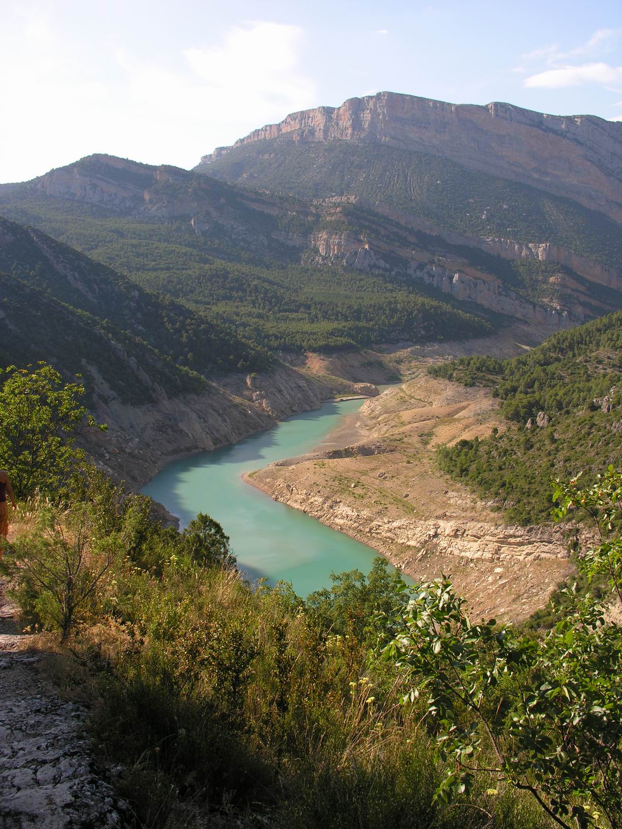
 The Noguera Ribagorzana () or Noguera Ribagorçana () is a
 The Noguera Ribagorzana () or Noguera Ribagorçana () is a
 river
A river is a natural flowing watercourse, usually freshwater, flowing towards an ocean, sea, lake or another river. In some cases, a river flows into the ground and becomes dry at the end of its course without reaching another body of w ...
in northern Spain
, image_flag = Bandera de España.svg
, image_coat = Escudo de España (mazonado).svg
, national_motto = ''Plus ultra'' (Latin)(English: "Further Beyond")
, national_anthem = (English: "Royal March")
, i ...
.Dorothy Noyes ''Fire in the Placa: Catalan Festival Politics After Franco'' 2003 p. ix "Catalonia proper — a triangle with the Pyrenees as one side, the Mediterranean as another, the Noguera Ribagorçana and Ebre rivers approximately marking the third, and Barcelona, the capital, in the middle — is now an autonomous region "
For much of its course of 130 km it forms the administrative boundary between Catalonia
Catalonia (; ca, Catalunya ; Aranese Occitan: ''Catalonha'' ; es, Cataluña ) is an autonomous community of Spain, designated as a '' nationality'' by its Statute of Autonomy.
Most of the territory (except the Val d'Aran) lies on the nort ...
and Aragon. Its source is in the municipality of Vielha e Mijaran
Vielha e Mijaran (; ca, Viella – Mitg-Aran ) is a municipality in Aran, Lleida, Spain. It was created in 1970 by the merger of the municipalities of Arròs e Vila, Betlan, Escunhau, Gausac, Vielha and Vilac: some of the former municipalities r ...
(Aran Valley
Aran (; ; ) (previously officially called in Occitan Val d'Aran, Catalan: ''Vall d'Aran'', Spanish: ''Valle de Arán'') is an administrative entity (formerly considered a comarca) in Lleida, Catalonia, Spain, consisting of the Aran Valley, in are ...
) at an elevation of about 2400 m, and its upper valley forms the main access route to the Aran Valley (N-230 road and the Vielha tunnel (5230 m long) under the watershed). It passes through the traditional county of Ribagorza
The County of Ribagorza or Ribagorça ( an, Condato de Ribagorza, ca, Comtat de Ribagorça, la, Comitatus Ripacurtiae) was a medieval county on the southern side of the Pyrenees, including the northeast of modern Aragón and part of the northwes ...
and the town of Pont de Suert (Alta Ribagorça
Alta Ribagorça () is one of the comarques of Catalonia, Spain. Its capital is Pont de Suert. The highest peak is the Comaloformo (3030 metres above sea level) in the massif of Bessiberri. Northeast of the region is the western part of the Ai ...
). Dam
A dam is a barrier that stops or restricts the flow of surface water or underground streams. Reservoirs created by dams not only suppress floods but also provide water for activities such as irrigation, human consumption, industrial use ...
s form two large reservoir
A reservoir (; from French ''réservoir'' ) is an enlarged lake behind a dam. Such a dam may be either artificial, built to store fresh water or it may be a natural formation.
Reservoirs can be created in a number of ways, including contro ...
s, the Escales below Pont de Suert and the Canelles above Ivars de Noguera ( Noguera). The Noguera Ribagorzana joins the Segre from the right at Vilanova de la Barca (Segrià
Segrià () is a comarca (county) in the west of Catalonia, Spain, bordering Aragon. , over two thirds of its population live in the capital city of Lleida, which is also Catalonia's sixth largest municipality, and remains the most populated coma ...
). It drains a basin of 2036 km2.
See also
* List of rivers of SpainReferences
Rivers of Spain Rivers of Aragon Rivers of Navarre {{Spain-river-stub