List of lakes of Alberta on:
[Wikipedia]
[Google]
[Amazon]


 This is a list of lakes in
Alberta Environment
- Alberta's River Basins * The


 This is a list of lakes in
 Alberta
Alberta ( ) is one of the thirteen provinces and territories of Canada. It is part of Western Canada and is one of the three prairie provinces. Alberta is bordered by British Columbia to the west, Saskatchewan to the east, the Northwest Ter ...
, Canada
Canada is a country in North America. Its ten provinces and three territories extend from the Atlantic Ocean to the Pacific Ocean and northward into the Arctic Ocean, covering over , making it the world's second-largest country by tot ...
.
Most of Alberta's lakes were formed during the last glaciation, about 12,000 years ago.
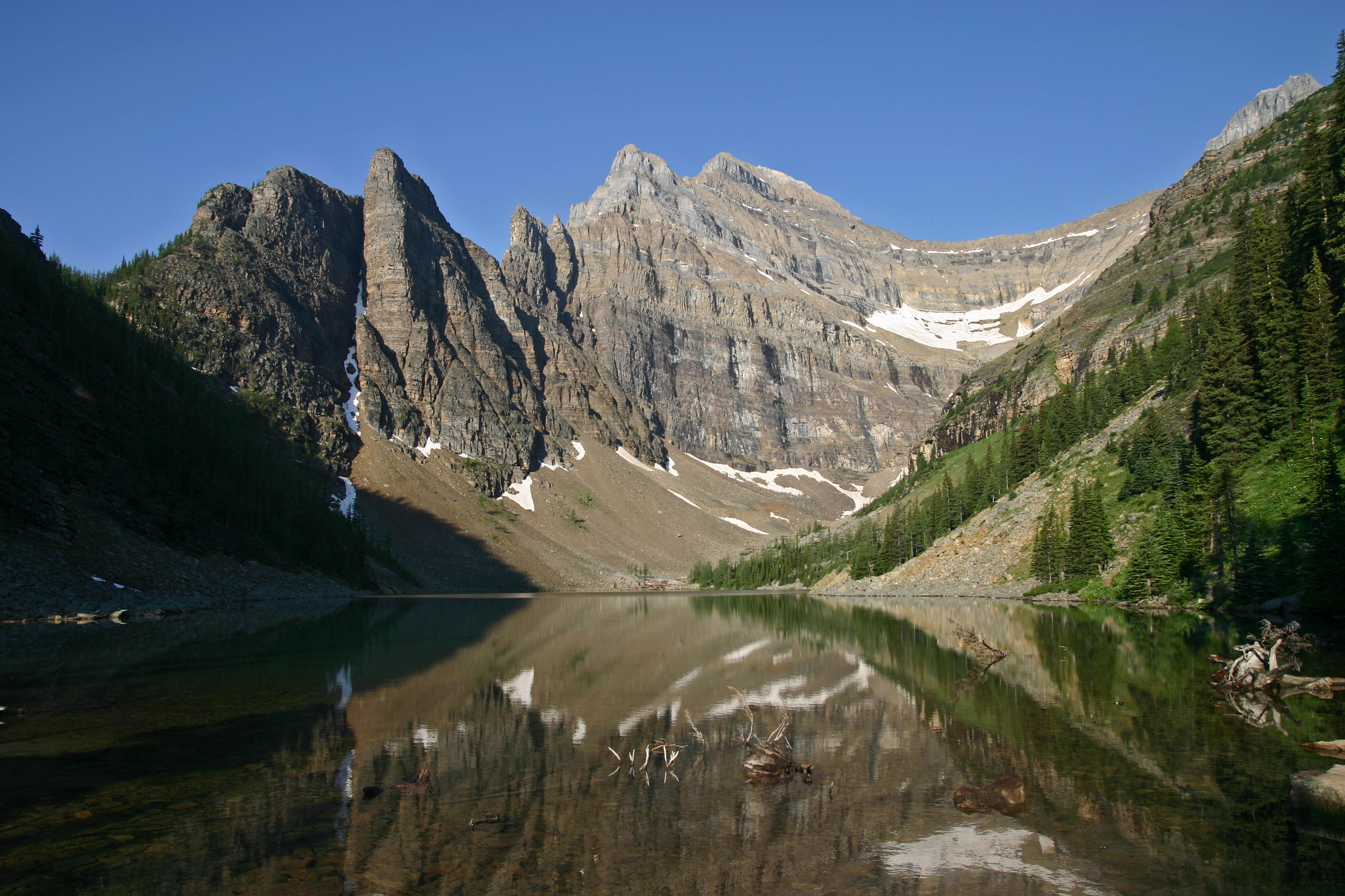
There are many different types of lakes in Alberta, from glacial
A glacial period (alternatively glacial or glaciation) is an interval of time (thousands of years) within an ice age that is marked by colder temperatures and glacier advances. Interglacials, on the other hand, are periods of warmer climate betwe ...
lakes in the Canadian Rockies to small shallow lakes in the prairie
Prairies are ecosystems considered part of the temperate grasslands, savannas, and shrublands biome by ecologists, based on similar temperate climates, moderate rainfall, and a composition of grasses, herbs, and shrubs, rather than trees, as the ...
s, brown water lakes in the northern boreal forest
Taiga (; rus, тайга́, p=tɐjˈɡa; relates to Mongolic and Turkic languages), generally referred to in North America as a boreal forest or snow forest, is a biome characterized by coniferous forests consisting mostly of pines, spruc ...
and muskeg, kettle holes and large lakes with sandy beaches and clear water in the central plains.
Distribution of the lakes throughout the province of Alberta is irregular, with many water bodies in the wet boreal plains
The Boreal Plains Ecozone, as defined by the Commission for Environmental Cooperation (CEC), is a terrestrial ecozone in the western Canadian provinces of Manitoba, Saskatchewan and Alberta. It also has minor extensions into northeastern British C ...
in the north, and very few in the semi-arid Palliser's Triangle
Palliser's Triangle, or the Palliser Triangle, is a semi-arid steppe occupying a substantial portion of the Western Canadian Prairie Provinces, Saskatchewan, Alberta and Manitoba, within the Great Plains region. While initially determined to be un ...
in the southeast.
__TOC__
River basins
Most of Alberta's waters are drained in a general north or northeastern direction, with six major rivers forming four major watersheds collecting the water and removing it from the province:- Alberta's River Basins * The
Peace River
The Peace River (french: links=no, rivière de la Paix) is a river in Canada that originates in the Rocky Mountains of northern British Columbia and flows to the northeast through northern Alberta. The Peace River joins the Athabasca River in th ...
and Athabasca River
The Athabasca River (French: ''Rivière Athabasca'') is a river in Alberta, Canada, which originates at the Columbia Icefield in Jasper National Park and flows more than before emptying into Lake Athabasca. Much of the land along its banks is ...
flow north and east, meeting in the massive Peace–Athabasca Delta
The Peace–Athabasca Delta, located in northeast Alberta, is the largest freshwater inland river delta in North America. It is located partially within the southeast corner of Wood Buffalo National Park, Canada's largest national park, and also ...
, eventually feeding the Mackenzie River in south-central Northwest Territories and draining into the Arctic Ocean
The Arctic Ocean is the smallest and shallowest of the world's five major oceans. It spans an area of approximately and is known as the coldest of all the oceans. The International Hydrographic Organization (IHO) recognizes it as an ocean, a ...
* The North
North is one of the four compass points or cardinal directions. It is the opposite of south and is perpendicular to east and west. ''North'' is a noun, adjective, or adverb indicating direction or geography.
Etymology
The word ''north ...
and South Saskatchewan River
The South Saskatchewan River is a major river in Canada that flows through the provinces of Alberta and Saskatchewan.
For the first half of the 20th century, the South Saskatchewan would completely freeze over during winter, creating spectacular ...
s flow east and form the Saskatchewan River
The Saskatchewan River (Cree: ''kisiskāciwani-sīpiy'', "swift flowing river") is a major river in Canada. It stretches about from where it is formed by the joining together of the North Saskatchewan and South Saskatchewan Rivers to Lake Winn ...
in central Saskatchewan
Saskatchewan ( ; ) is a province in western Canada, bordered on the west by Alberta, on the north by the Northwest Territories, on the east by Manitoba, to the northeast by Nunavut, and on the south by the U.S. states of Montana and North Dak ...
, flowing into Lake Winnipeg
Lake Winnipeg (french: Lac Winnipeg, oj, ᐑᓂᐸᑲᒥᐠᓴᑯ˙ᑯᐣ, italics=no, Weenipagamiksaguygun) is a very large, relatively shallow lake in North America, in the province of Manitoba, Canada. Its southern end is about north of t ...
, which drains into Hudson Bay on the Arctic/ North Atlantic oceans
** There is an endorheic
An endorheic basin (; also spelled endoreic basin or endorreic basin) is a drainage basin that normally retains water and allows no outflow to other external bodies of water, such as rivers or oceans, but drainage converges instead into lakes ...
area between the North and South Saskatchewan basins, the Sounding Creek system, where most of the water drains to Manitou Lake (not to be confused with the more famous Little Manitou Lake) and evaporates.
* The smaller Beaver River in east-central Alberta flows east into the Churchill River in north-central Saskatchewan
Saskatchewan ( ; ) is a province in western Canada, bordered on the west by Alberta, on the north by the Northwest Territories, on the east by Manitoba, to the northeast by Nunavut, and on the south by the U.S. states of Montana and North Dak ...
and then drains into Hudson Bay
* The smaller Milk River in southeast Alberta flows south into the Missouri River in northeastern Montana
Montana () is a state in the Mountain West division of the Western United States. It is bordered by Idaho to the west, North Dakota and South Dakota to the east, Wyoming to the south, and the Canadian provinces of Alberta, British Columb ...
, which joins the Mississippi River
The Mississippi River is the second-longest river and chief river of the second-largest drainage system in North America, second only to the Hudson Bay drainage system. From its traditional source of Lake Itasca in northern Minnesota, it fl ...
and drains into the Gulf of Mexico
The Gulf of Mexico ( es, Golfo de México) is an ocean basin and a marginal sea of the Atlantic Ocean, largely surrounded by the North American continent. It is bounded on the northeast, north and northwest by the Gulf Coast of the United ...
As with other basins on the planet, the topographical highlights in the drainage divides between these basins can be difficult to discern. For example, there is little elevation change in the short of land between Lac la Biche and Beaver Lake, yet the former is in a watershed that drains north into the Arctic Ocean, while the latter is in a watershed that drains east into Hudson Bay.
Largest lakes
Lake Athabasca is the largest lake in both Alberta andSaskatchewan
Saskatchewan ( ; ) is a province in western Canada, bordered on the west by Alberta, on the north by the Northwest Territories, on the east by Manitoba, to the northeast by Nunavut, and on the south by the U.S. states of Montana and North Dak ...
. This lake has of its surface area in Alberta and in Saskatchewan.
The largest lake completely within Alberta is Lake Claire, at . Lake Claire is just west of Lake Athabasca, with both located in the remote Peace-Athabasca Delta.
This section provides a list of lakes of Alberta with an area larger than .
List of lakes
This section provides a list of numerous lakes of Alberta, including the "large" ones shown in the previous section. Note that the lakes are listed alphabetically by their main name, dropping any leading "lake", "lac", "lac la", "upper/lower", "north/south". For example, Lac la Nonne (''the nun lake'') is entered under "N". If desired, using the table sort function will give the list sorted by the leading word.See also
*List of Alberta rivers
Alberta's rivers flow towards three different bodies of water, the Arctic Ocean, the Hudson Bay and the Gulf of Mexico. Alberta is located immediately east of the continental divide, so no rivers from Alberta reach the Pacific Ocean.
List of riv ...
*Geography of Alberta
Alberta is one of the thirteen provinces and territories of Canada. Located in Western Canada, the province has an area of and is bounded to the south by the United States state of Montana along 49° north for ; to the east at 110° west by ...
References
{{Canada topic, List of lakes of * LakesAlberta
Alberta ( ) is one of the thirteen provinces and territories of Canada. It is part of Western Canada and is one of the three prairie provinces. Alberta is bordered by British Columbia to the west, Saskatchewan to the east, the Northwest Ter ...