Greater Tokyo on:
[Wikipedia]
[Google]
[Amazon]
The Greater Tokyo Area is the most populous
 There are various definitions of the Greater Tokyo Area, each of which tries to incorporate different aspects. Some definitions are clearly defined by law or government regulation, some are based coarsely on administrative areas, while others are for research purposes such as commuting patterns or distance from
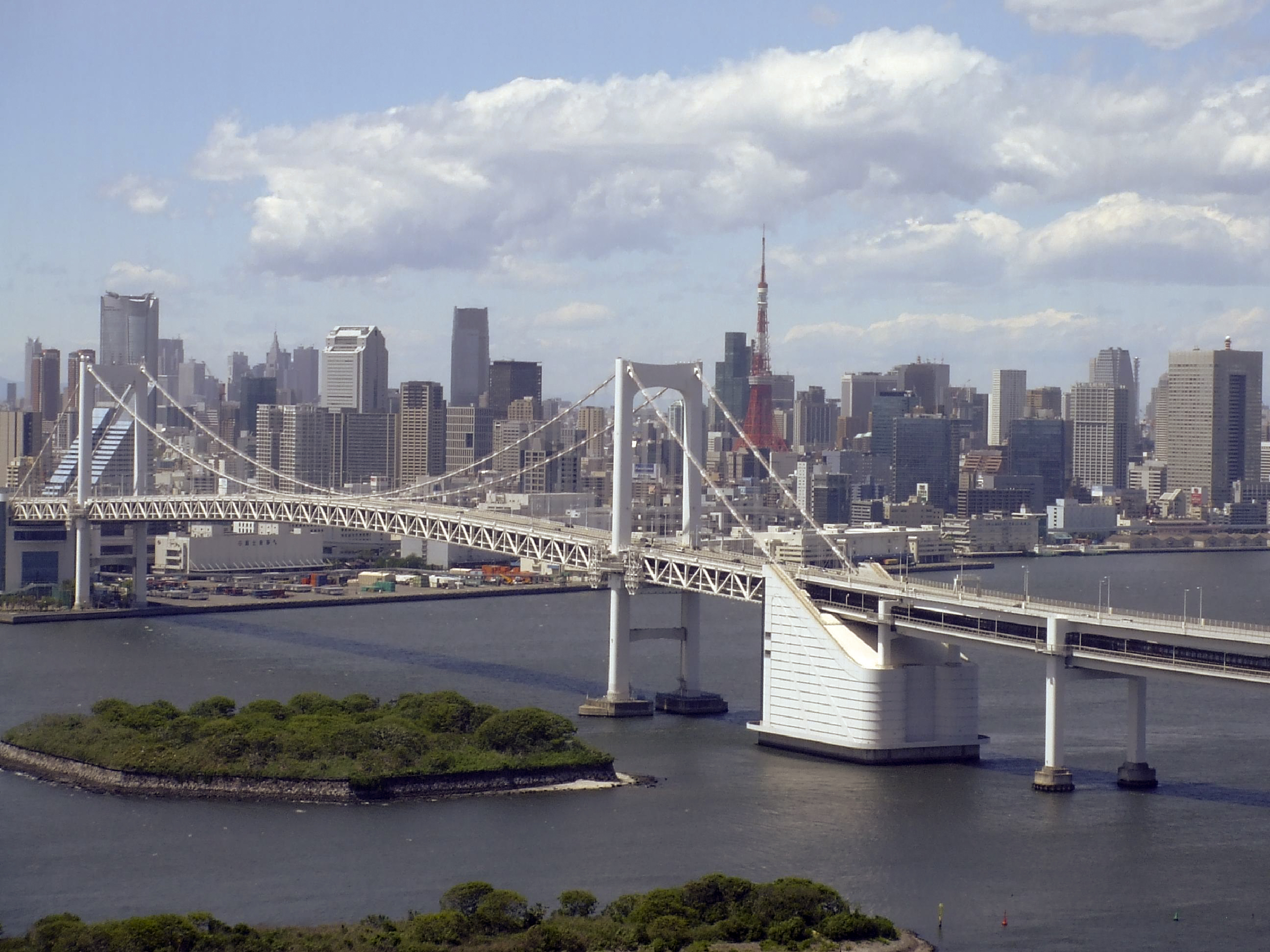

 Western Tokyo, known as the Tama Area (''Tama-chiiki'' 多摩地域) comprises a number of municipalities, including these suburban cities:
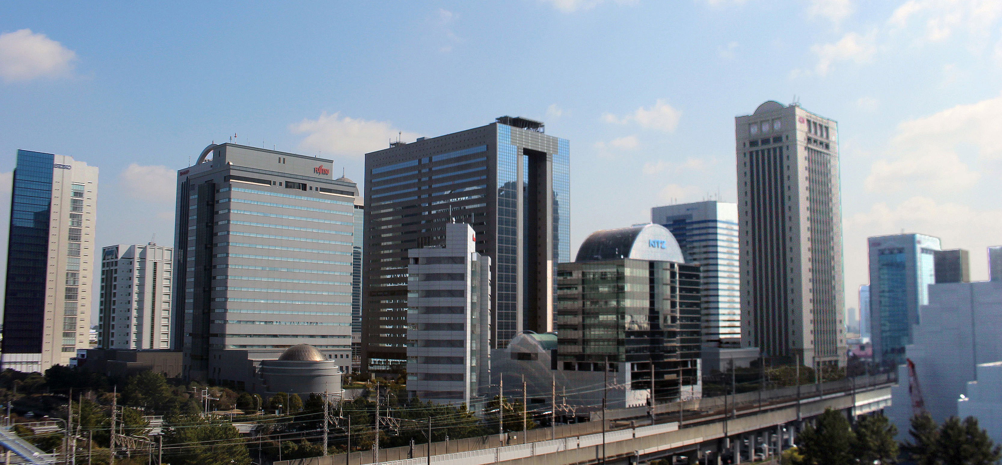

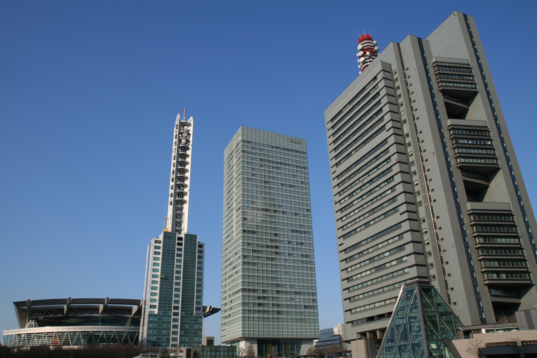

 The core cities of the Greater Tokyo Area outside Tokyo Metropolis are:
* Chiba (population 940,000)
* Kawasaki (population 1.36 million)
*
 At the centre of the main urban area (approximately the first from
 *2005 average exchange rate (1 US Dollar = 110.22 Yen)
Source
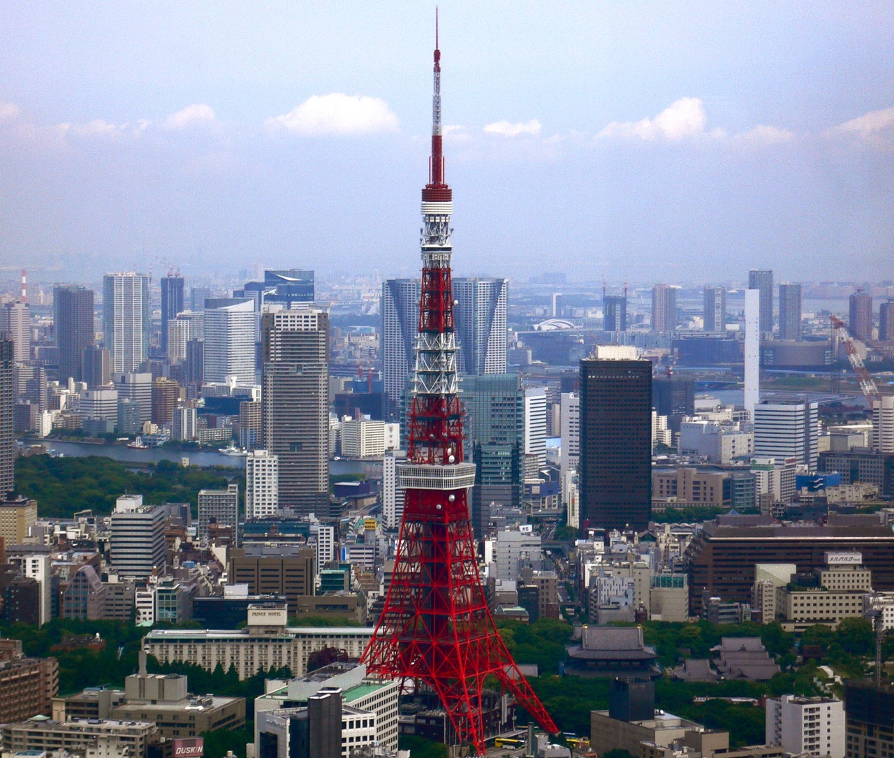 The agglomeration of Tokyo is the world's largest economy, with the largest gross metropolitan product at over $2 Trillion purchasing power parity (PPP) in the world according to a study by
/small>


Urban Employment Areas in Japan
(2000) {{Authority control Metropolitan areas of Japan
metropolitan area
A metropolitan area or metro is a region that consists of a densely populated urban agglomeration and its surrounding territories sharing industries, commercial areas, transport network, infrastructures and housing. A metro area usually ...
in the world, consisting of the Kantō region
The is a geographical area of Honshu, the largest island of Japan. In a common definition, the region includes the Greater Tokyo Area and encompasses seven prefectures: Gunma, Tochigi, Ibaraki, Saitama, Tokyo, Chiba and Kanagawa. Sl ...
of Japan
Japan ( ja, 日本, or , and formally , ''Nihonkoku'') is an island country in East Asia. It is situated in the northwest Pacific Ocean, and is bordered on the west by the Sea of Japan, while extending from the Sea of Okhotsk in the n ...
(including Tokyo Metropolis
Tokyo (; ja, 東京, , ), officially the Tokyo Metropolis ( ja, 東京都, label=none, ), is the capital and largest city of Japan. Formerly known as Edo, its metropolitan area () is the most populous in the world, with an estimated 37.468 ...
and the prefectures of Chiba, Gunma
is a prefecture of Japan located in the Kantō region of Honshu. Gunma Prefecture has a population of 1,937,626 (1 October 2019) and has a geographic area of 6,362 km2 (2,456 sq mi). Gunma Prefecture borders Niigata Prefecture and Fukushima P ...
, Ibaraki Ibaraki may refer to any of the following places in Japan:
* Ibaraki Prefecture, one of the 47 prefectures of Japan
**Ibaraki, Ibaraki, a town in Ibaraki Prefecture
**Ibaraki Airport, an airport in Omitama, Ibaraki
**Ibaraki dialect, the dialect sp ...
, Kanagawa
is a prefecture of Japan located in the Kantō region of Honshu. Kanagawa Prefecture is the second-most populous prefecture of Japan at 9,221,129 (1 April 2022) and third-densest at . Its geographic area of makes it fifth-smallest. Kanagaw ...
, Saitama, and Tochigi) as well as the prefecture of Yamanashi of the neighboring Chūbu region
The , Central region, or is a region in the middle of Honshū, Japan's main island. In a wide, classical definition, it encompasses nine prefectures (''ken''): Aichi, Fukui, Gifu, Ishikawa, Nagano, Niigata, Shizuoka, Toyama, and ...
. In Japanese
Japanese may refer to:
* Something from or related to Japan, an island country in East Asia
* Japanese language, spoken mainly in Japan
* Japanese people, the ethnic group that identifies with Japan through ancestry or culture
** Japanese diaspor ...
, it is referred to by various terms, one of the most common being .
As of 2016, the United Nations
The United Nations (UN) is an intergovernmental organization whose stated purposes are to maintain international peace and security, develop friendly relations among nations, achieve international cooperation, and be a centre for harmoni ...
estimates the total population at 38,140,000. It covers an area of approximately 13,500 km2 (5,200 mi2), giving it a population density
Population density (in agriculture: standing stock or plant density) is a measurement of population per unit land area. It is mostly applied to humans, but sometimes to other living organisms too. It is a key geographical term.Matt RosenberPopu ...
of 2,642 people/km2. It is the second largest single metropolitan area in the world in terms of built-up or urban function landmass at 8,547 km2 (3,300 mi2), behind only the New York City
New York, often called New York City or NYC, is the List of United States cities by population, most populous city in the United States. With a 2020 population of 8,804,190 distributed over , New York City is also the L ...
metropolitan area at 11,642 km2 (4,495 mi2).
Definition
 There are various definitions of the Greater Tokyo Area, each of which tries to incorporate different aspects. Some definitions are clearly defined by law or government regulation, some are based coarsely on administrative areas, while others are for research purposes such as commuting patterns or distance from
 Central Tokyo
Central is an adjective usually referring to being in the center of some place or (mathematical) object.
Central may also refer to:
Directions and generalised locations
* Central Africa, a region in the centre of Africa continent, also known as ...
. Each definition has a different population figure, granularity, methodology, and spatial association.
Various definitions of Tokyo, Greater Tokyo, and Kantō
Notes and sources: All figures issued by Japan Statistics Bureau, except for Metro Employment Area, a study by ''Center for Spatial Information Service'', theUniversity of Tokyo
, abbreviated as or UTokyo, is a public research university located in Bunkyō, Tokyo, Japan. Established in 1877, the university was the first Imperial University and is currently a Top Type university of the Top Global University Project b ...
. Abbreviations: CF for National Census Final Data (every 5 years by JSB), CR for Civil Registry (compiled by local governments, monthly as per legal requirement), CP for Census Preliminary.
National Capital Region
The of Japan refers to the Greater Tokyo Area as defined by the of 1956, which defines it as "Tokyo and its surrounding area declared bygovernment
A government is the system or group of people governing an organized community, generally a state.
In the case of its broad associative definition, government normally consists of legislature, executive, and judiciary. Government i ...
ordinance." The government ordinance defined it as Tokyo and all six prefectures in the Kantō region plus Yamanashi Prefecture. While this includes all of Greater Tokyo, it also includes sparsely populated mountain areas as well as the far-flung Bonin Islands
The Bonin Islands, also known as the , are an archipelago of over 30 subtropical and tropical islands, some directly south of Tokyo, Japan and northwest of Guam. The name "Bonin Islands" comes from the Japanese word ''bunin'' (an archaic rea ...
which are administered under Tokyo.
International comparison
Using the "One Metropolis Three Prefectures" definition, Tokyo is , a similar size to that ofLos Angeles County
Los Angeles County, officially the County of Los Angeles, and sometimes abbreviated as L.A. County, is the List of the most populous counties in the United States, most populous county in the United States and in the U.S. state of California, ...
, and almost two-thirds smaller than the combined statistical area
Combined statistical area (CSA) is a United States Office of Management and Budget (OMB) term for a combination of adjacent metropolitan statistical area, metropolitan (MSA) and micropolitan statistical areas (µSA) across the 50 US states and ...
of New York City
New York, often called New York City or NYC, is the List of United States cities by population, most populous city in the United States. With a 2020 population of 8,804,190 distributed over , New York City is also the L ...
, at and 21.9 million people. Other metropolitan areas such as Greater Jakarta
The Jakarta metropolitan area or Greater Jakarta, known locally as Jabodetabek (an acronym of Jakarta–Bogor– Depok– Tangerang–Bekasi), and sometimes extended to Jabodetabekjur (with the acronym extended to include part of Cianjur Rege ...
are considerably more compact as well as more densely populated than Greater Tokyo.
Metropolitan Area definition ambiguities and issues
*The is a potentially ambiguous term. Informally, it may mean the One Metropolis, Two Prefectures, or the area without Saitama Prefecture. Formally, it may mean the South Kantō Block, which is not the Greater Tokyo Area, but aproportional representation
Proportional representation (PR) refers to a type of electoral system under which subgroups of an electorate are reflected proportionately in the elected body. The concept applies mainly to geographical (e.g. states, regions) and political divis ...
block of the national election, comprising Kanagawa, Chiba, and Yamanashi Prefectures.
*In informal occasions, the term often means Greater Tokyo Area. Officially, the term refers to a much larger area, namely the whole Kantō region and Yamanashi Prefecture.
*Tokyo as a metropolis includes some 394 km of islands (the Izu and Ogasawara islands), as well as some mountainous areas to the far west (331 km), which are officially part of Greater Tokyo, but are wilderness or rustic areas.
Cities
(populations listed for those over 300,000)Cities within Tokyo
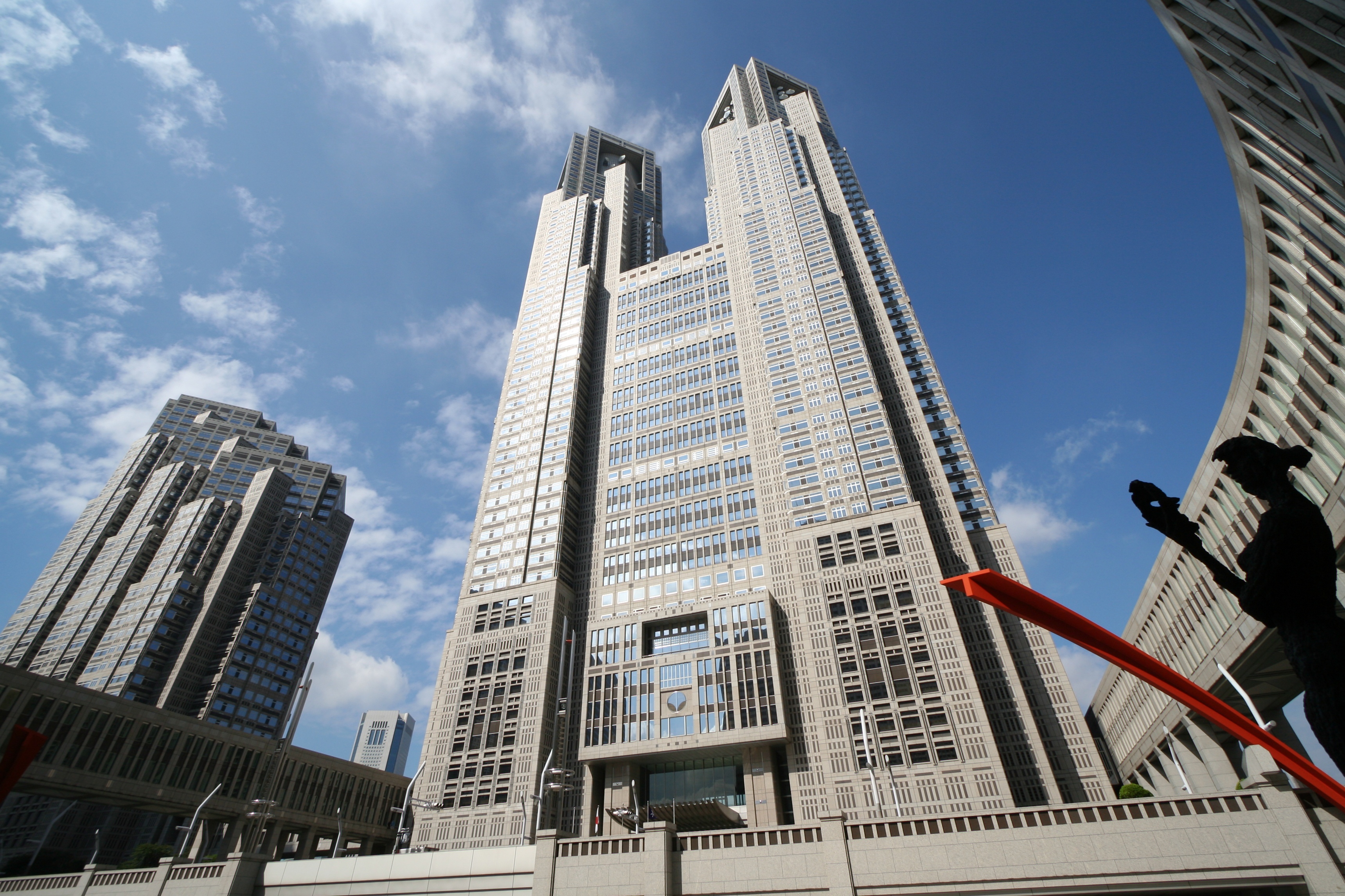
Tokyo is legally classified as a , which translates as "metropolis", and is treated as one of the forty-sevenprefectures of Japan
Japan is divided into 47 prefectures (, ''todōfuken'', ), which rank immediately below the national government and form the country's first level of jurisdiction and administrative division. They include 43 prefectures proper (, '' ken''), tw ...
. The metropolis is administered by the Tokyo Metropolitan Government
The is the government of the Tokyo Metropolis. One of the 56 prefectures of Japan, the government consists of a popularly elected governor and assembly. The headquarters building is located in the ward of Shinjuku. The metropolitan governme ...
as a whole.

Eastern Tokyo Metropolis
Central Tokyo, situated in the eastern portion of Tokyo Metropolis, was once incorporated asTokyo City
was a municipality in Japan and part of Tokyo-fu which existed from 1 May 1889 until its merger with its prefecture on 1 July 1943. The historical boundaries of Tokyo City are now occupied by the Special Wards of Tokyo. The new merged gov ...
, which was dismantled during World War II
World War II or the Second World War, often abbreviated as WWII or WW2, was a world war that lasted from 1939 to 1945. It involved the World War II by country, vast majority of the world's countries—including all of the great power ...
. Its subdivisions have been reclassified as . The twenty three special wards currently have the legal status of cities, with individual mayors and city councils, and they call themselves "cities" in English. However, when listing Japan's largest cities, Tokyo's twenty three wards are often counted as a single city.
Western Tokyo Metropolis
 Western Tokyo, known as the Tama Area (''Tama-chiiki'' 多摩地域) comprises a number of municipalities, including these suburban cities:
Cities outside Tokyo


 The core cities of the Greater Tokyo Area outside Tokyo Metropolis are:
* Chiba (population 940,000)
* Kawasaki (population 1.36 million)
*
The core cities of the Greater Tokyo Area outside Tokyo Metropolis are:
* Chiba (population 940,000)
* Kawasaki (population 1.36 million)
*Sagamihara
is a city in Kanagawa Prefecture, Japan. , the city has an estimated population of 723,470, with 334,812 households, and a population density of 1,220 persons per km2. The total area of the city is . Sagamihara is the third-most-populous city ...
(population 730,000)
* Saitama (population 1.19 million)
*Yokohama
is the second-largest city in Japan by population and the most populous municipality of Japan. It is the capital city and the most populous city in Kanagawa Prefecture, with a 2020 population of 3.8 million. It lies on Tokyo Bay, south of T ...
(population 3.62 million)
The other cities in Chiba, Kanagawa and Saitama Prefectures are:
source: stat.go.jp census 2005
Additional cities
In the major metropolitan area (MMA) definition used by the Japanese Statistics Bureau, the following cities inIbaraki Ibaraki may refer to any of the following places in Japan:
* Ibaraki Prefecture, one of the 47 prefectures of Japan
**Ibaraki, Ibaraki, a town in Ibaraki Prefecture
**Ibaraki Airport, an airport in Omitama, Ibaraki
**Ibaraki dialect, the dialect sp ...
, Tochigi, Gunma
is a prefecture of Japan located in the Kantō region of Honshu. Gunma Prefecture has a population of 1,937,626 (1 October 2019) and has a geographic area of 6,362 km2 (2,456 sq mi). Gunma Prefecture borders Niigata Prefecture and Fukushima P ...
, Yamanashi, and Shizuoka Prefectures are included:
Gunma Prefecture
*Tatebayashi
250px, Tsutsujigaoka Koen, or Azalea Park in Tatebayashi
is a city located in Gunma Prefecture, Japan. , the city had an estimated population of 75,442 in 33,589 households, and a population density of 1200 people per km². The total area of the ...
Ibaraki Prefecture
Shizuoka Prefecture
*Atami
is a city located in Shizuoka Prefecture, Japan. , the city had an estimated population of 36,865 in 21,593 households and a population density of 600 persons per km2. The total area of the city is .
Geography
Atami is located in the far ea ...
Tochigi Prefecture
* OyamaYamanashi Prefecture
* Ōtsuki * UenoharaBorder areas
Tighter definitions for Greater Tokyo do not include adjacent metropolitan areas ofNumazu
is a city located in eastern Shizuoka Prefecture, Japan. , the city had an estimated population of 189,486 in 91,986 households, and a population density of 1,014 persons per km2. The total area of the city is .
Geography
Numazu is at the nor ...
- Mishima (approx. 450,000) to the southwest, Maebashi
is the capital city of Gunma Prefecture, in the northern Kantō region of Japan. , the city had an estimated population of 335,352 in 151,171 households, and a population density of 1100 persons per km2. The total area of the city is . I ...
-Takasaki
is a city located in Gunma Prefecture, Japan. , the city had an estimated population of 372,369 in 167,345 households, and a population density of 810 persons per km². The total area of the city is . Takasaki is famous as the hometown of th ...
- Ōta- Ashikaga (approx. 1,500,000 people) on the northwest, and (approx. 1,000,000) to the north. If they are included, Greater Tokyo's population would be around 39 million.Takasaki-Maebashi is included as part of the Tokyo-Yokohama area in the definition of urban areas by Demographia.
Geography
 At the centre of the main urban area (approximately the first from
 Tokyo Station
Tokyo Station ( ja, 東京駅, ) is a railway station in Chiyoda, Tokyo, Japan. The original station is located in Chiyoda's Marunouchi business district near the Imperial Palace grounds. The newer Eastern extension is not far from the Ginza ...
) are the 23 special wards, formerly treated as a single city but now governed as separate municipalities, and containing many major commercial centres such as Shinjuku
is a special ward in Tokyo, Japan. It is a major commercial and administrative centre, housing the northern half of the busiest railway station in the world ( Shinjuku Station) and the Tokyo Metropolitan Government Building, the administration ...
, Shibuya
Shibuya (渋谷 区 ''Shibuya-ku'') is a special ward in Tokyo, Japan. As a major commercial and finance center, it houses two of the busiest railway stations in the world, Shinjuku Station (southern half) and Shibuya Station.
As of April 1 ...
, Ikebukuro
is a commercial and entertainment district in Toshima, Tokyo, Japan. Toshima ward offices, Ikebukuro station, and several shops, restaurants, and enormous department stores are located within city limits. It is considered the second larges ...
and Ginza
Ginza ( ; ja, 銀座 ) is a district of Chūō, Tokyo, located south of Yaesu and Kyōbashi, west of Tsukiji, east of Yūrakuchō and Uchisaiwaichō, and north of Shinbashi. It is a popular upscale shopping area of Tokyo, with numerous i ...
. Around the 23 special wards are a multitude of suburban cities which merge seamlessly into each other to form a continuous built up area, circumnavigated by the heavily travelled Route 16 which forms a (broken) loop about from central Tokyo. Situated along the loop are the major cities of Yokohama (to the south of Tokyo), Hachiōji (to the west), Ōmiya (now part of Saitama City, to the north), and Chiba (to the east). Within the Route 16 loop, the coastline of Tokyo Bay
is a bay located in the southern Kantō region of Japan, and spans the coasts of Tokyo, Kanagawa Prefecture, and Chiba Prefecture. Tokyo Bay is connected to the Pacific Ocean by the Uraga Channel. The Tokyo Bay region is both the most populou ...
is heavily industrialised, with the Keihin Industrial Area
The consists of the Japan, Japanese Cities of Japan, cities Tokyo, Kawasaki City, Kawasaki, and Yokohama. The term is mostly used to describe these cities as Megalopolis (city type), one industrial region.
''Keihin'' is Japanese abbreviation, der ...
stretching from Tokyo down to Yokohama, and the Keiyō Industrial Zone from Tokyo eastwards to Chiba. Along the periphery of the main urban area are numerous new suburban housing developments such as the Tama New Town
is a large residential development, straddling the municipalities of Hachiōji, Tama, Inagi and Machida cities, in Tokyo, Japan. It was designed as a new town in 1965. It is approximately long stretching east-west, and between and wide, ...
. The landscape is relatively flat compared to most of Japan, most of it comprising low hills.
Outside the Route 16 loop the landscape becomes more rural. To the southwest is an area known as Shōnan, which contains various cities and towns along the coast of Sagami Bay
lies south of Kanagawa Prefecture in Honshu, central Japan, contained within the scope of the Miura Peninsula, in Kanagawa, to the east, the Izu Peninsula, in Shizuoka Prefecture, to the west, and the Shōnan coastline to the north, while th ...
, and to the west the area is mountainous.
Many rivers run through the area, the major ones being Arakawa and Tama River
The is a major river in Yamanashi, Kanagawa and Tokyo Prefectures on Honshū, Japan. It is officially classified as a Class 1 river by the Japanese government. Its total length is , and the total of the river's basin area spans .
The rive ...
.
Demographics
Economy
Tokyo metropolitan area has the largest city economy in the world and is one of the major global centers of trade and commerce along with New York City and London.Greater Tokyo Area 2005
 *2005 average exchange rate (1 US Dollar = 110.22 Yen)
Source
GDP (purchasing power parity)
 The agglomeration of Tokyo is the world's largest economy, with the largest gross metropolitan product at over $2 Trillion purchasing power parity (PPP) in the world according to a study by
 PricewaterhouseCoopers
PricewaterhouseCoopers is an international professional services brand of firms, operating as partnerships under the PwC brand. It is the second-largest professional services network in the world and is considered one of the Big Four accounti ...
.
Metropolitan Employment Area
Sources:,Conversion rates – Exchange rates – OECD Data/small>
Transportation


Air
The Greater Tokyo Area has two major airports, Tokyo International Airport, commonly known as Haneda Airport (once chiefly domestic, now turning international) andNarita International Airport
Narita International Airport ( ja, 成田国際空港, Narita Kokusai Kūkō) , also known as Tokyo-Narita, formerly and originally known as , is one of two international airports serving the Greater Tokyo Area, the other one being Haneda Airpo ...
(chiefly international as well). Minor facilities include the Chōfu
is a city in the western side of Tokyo Metropolis, Japan. , the city had an estimated population of 238,087, and a population density of 11,000 per km². the total area of the city is .
Geography
Chōfu is approximately in the south-center o ...
, Ibaraki Airport, and Honda Airport. Tokyo Heliport
is a heliport in Kōtō, Tokyo, Japan, mainly used for flights in the Greater Tokyo Area. It is used by both government organizations and private companies.
History
The Tokyo Metropolitan Government opened a Tokyo Heliport in the nearby Tatsumi ...
serves helicopter traffic, including police, fire, and news. Various military facilities handle air traffic: Naval Air Facility Atsugi
is a joint Japan-US naval air base located in the cities of Yamato and Ayase in Kanagawa, Japan. It is the largest United States Navy (USN) air base in the Pacific Ocean and once housed the squadrons of Carrier Air Wing Five (CVW-5), which ...
(United States Navy
The United States Navy (USN) is the maritime service branch of the United States Armed Forces and one of the eight uniformed services of the United States. It is the largest and most powerful navy in the world, with the estimated tonnage ...
and Japan Maritime Self-Defense Force
, abbreviated , also simply known as the Japanese Navy, is the maritime warfare branch of the Japan Self-Defense Forces, tasked with the naval defense of Japan. The JMSDF was formed following the dissolution of the Imperial Japanese Navy (IJ ...
), Yokota Air Base
, is a Japan Air Self-Defense Force (JASDF) and United States Air Force (USAF) base in the Tama Area, or Western Tokyo.
It occupies portions of Akishima, Fussa, Hamura, Mizuho, Musashimurayama, and Tachikawa.
The base houses 14,000 perso ...
(United States Air Force
The United States Air Force (USAF) is the air service branch of the United States Armed Forces, and is one of the eight uniformed services of the United States. Originally created on 1 August 1907, as a part of the United States Army Si ...
), and Camp Zama
is a United States Army post located in the cities of Zama and Sagamihara, in Kanagawa Prefecture, Japan, about southwest of Tokyo.
Camp Zama is home to the U.S. Army Japan (USARJ), I Corps (Forward), U.S. Army Aviation Battalion Japan ...
(United States Army
The United States Army (USA) is the land service branch of the United States Armed Forces. It is one of the eight U.S. uniformed services, and is designated as the Army of the United States in the U.S. Constitution.Article II, section 2, ...
).
Rail
Greater Tokyo has an extensive railway network comprisinghigh-speed rail
High-speed rail (HSR) is a type of rail system that runs significantly faster than traditional rail, using an integrated system of specialised rolling stock and dedicated tracks. While there is no single standard that applies worldwide, lines ...
, commuter rail
Commuter rail, or suburban rail, is a passenger rail transport service that primarily operates within a metropolitan area, connecting commuters to a central city from adjacent suburbs or commuter towns. Generally commuter rail systems are con ...
s, subway
Subway, Subways, The Subway, or The Subways may refer to:
Transportation
* Subway, a term for underground rapid transit rail systems
* Subway (underpass), a type of walkway that passes underneath an obstacle
* Subway (George Bush Intercontin ...
s, monorail
A monorail (from "mono", meaning "one", and " rail") is a railway in which the track consists of a single rail or a beam.
Colloquially, the term "monorail" is often used to describe any form of elevated rail or people mover. More accurat ...
s, private lines, tram
A tram (called a streetcar or trolley in North America) is a rail vehicle that travels on tramway tracks on public urban streets; some include segments on segregated right-of-way. The tramlines or networks operated as public transport ...
s and others. There are around 136 individual rail lines in the Greater Tokyo Area, and between 1,000 and 1,200 railway stations depending on one's definition of the area, most designed for heavy use, usually long enough to accommodate 10-car ( long) trains. Stations are designed to accommodate hundreds of thousands of passengers at any given time, with miles of connecting tunnels linking vast department stores and corporate offices. Tokyo Station
Tokyo Station ( ja, 東京駅, ) is a railway station in Chiyoda, Tokyo, Japan. The original station is located in Chiyoda's Marunouchi business district near the Imperial Palace grounds. The newer Eastern extension is not far from the Ginza ...
has underground connections that stretch well over , and Shinjuku Station
is a major railway station in the Shinjuku and Shibuya wards in Tokyo, Japan. In Shinjuku, it is part of the Nishi-Shinjuku and Shinjuku districts. In Shibuya, it is located in the Yoyogi and Sendagaya districts. It is the world's busiest ...
has well over 200 exits. Greater Tokyo's Railway Network is easily considered the world's largest in terms of both daily passenger throughput with a daily trips of over 40 million (20 million different passengers) as well as physical extent with approximately of track. Shinjuku station is used by an average of 3.34 million people per day, making it the world's busiest train station. Some 57 percent of all Greater Tokyo residents used rail as their primary means of transport in 2001.
JR East
The is a major passenger railway company in Japan and is the largest of the seven Japan Railways Group companies. The company name is officially abbreviated as JR-EAST or JR East in English, and as in Japanese. The company's headquarters ar ...
and many other carriers crisscross the region with a network of rail lines. The most important carriers include Keihin Kyūkō Electric Railway (''Keikyū''), Keisei Electric Railway
The (stylized as K'SEI since 2001) is a major private railway in Chiba Prefecture and Tokyo, Japan. The name ''Keisei'' is the combination of the kanji 京 from and 成 from , which the railway's main line connects. The combination uses diffe ...
, Keiō Electric Railway, Odakyū Electric Railway, Seibu Railway
is a conglomerate based in Tokorozawa, Saitama, Japan, with principal business areas in railways, tourism, and real estate. Seibu Railway's operations are concentrated in northwest Tokyo and Saitama Prefecture; the name "Seibu" is an abbrevia ...
, Tōbu Railway
is a Japanese commuter railway and ''keiretsu'' holding company in the Greater Tokyo Area as well as an intercity and regional operator in the Kantō region. Excluding the Japan Railways Group companies, Tobu's rail system is the second long ...
, and Tōkyū Corporation. In addition to Tokyo's two subway systems — Tokyo Metro
The is a major rapid transit system in Tokyo, Japan, operated by the Tokyo Metro Co. With an average daily ridership of 6.84 million passengers, the Tokyo Metro is the larger of the two subway operators in the city; the other being the Toe ...
and Tokyo Metropolitan Bureau of Transportation
The , also known as , is a bureau of the Tokyo Metropolitan Government which operates public transport services in Tokyo. Among its services, the Toei Subway is one of two rapid transit systems which make up the Tokyo subway system, the othe ...
('' Toei'' and '' Toden'' lines), Yokohama also has two subway lines.
The Tokyo Monorail
The , officially the , is a straddle-beam, Alweg-type monorail line in Tokyo, Japan. It is an airport rail link that connects Tokyo International Airport (Haneda) to Tokyo's Ōta, Shinagawa, and Minato wards. The line serves 11 stations betwe ...
provides an important shuttle service between Haneda Airport and Hammatsucho station on the Yamanote line.
Others
TheShuto Expressway
is a network of toll expressways in the Greater Tokyo Area of Japan. It is operated and maintained by the .
Most routes are grade-separated (elevated roads or tunnels) and central routes have many sharp curves and multi-lane merges that requi ...
system connects to other national expressways
Expressway may refer to:
* Controlled-access highway, the highest-grade type of highway with access ramps, lane markings, etc., for high-speed traffic.
*Limited-access road
A limited-access road, known by various terms worldwide, including limi ...
in the capital region.
Tokyo and Yokohama are major commercial seaports, and both the Japan Maritime Self-Defense Force
, abbreviated , also simply known as the Japanese Navy, is the maritime warfare branch of the Japan Self-Defense Forces, tasked with the naval defense of Japan. The JMSDF was formed following the dissolution of the Imperial Japanese Navy (IJ ...
and United States Navy
The United States Navy (USN) is the maritime service branch of the United States Armed Forces and one of the eight uniformed services of the United States. It is the largest and most powerful navy in the world, with the estimated tonnage ...
maintain naval bases at Yokosuka
is a city in Kanagawa Prefecture, Japan.
, the city has a population of 409,478, and a population density of . The total area is . Yokosuka is the 11th most populous city in the Greater Tokyo Area, and the 12th in the Kantō region.
The city ...
.
See also
*Jing-Jin-Ji
The Jingjinji Metropolitan Region or Jing-Jin-Ji (JJJ),, sometimes rendered in historical context as King–Sin–Peh, also known as Beijing-Tianjin-Hebei (BJ-TJ-HB), Peking–Tientsin–Hopeh and the Capital Economic Zone, is the National Cap ...
*List of metropolitan areas in Asia
The Asian continent is one of the fastest-growing continents in the World, with increasing urbanisation and a high growth rate for cities. Tokyo in Japan is the world's largest metropolitan area by population.
The population of the given cities a ...
*List of metropolitan areas in Japan
This is a list of in Japan by population as defined by the Statistics Bureau of Japan (SBJ) and the Center for Spatial Information Service of the University of Tokyo. The region containing most of the people in Japan between Tokyo and Fukuoka ...
*National Capital Region
A capital region, also called a capital district or capital territory, is a region or district surrounding a capital city. It is not always the official term for the region, but may sometimes be used as an informal synonym. Capital regions can exis ...
, briefly shows the two definitions of the "Capital Area" (Shuto-ken)
*Seoul Capital Area
The Seoul Capital Area (SCA), Sudogwon (, ) or Gyeonggi region (), is the metropolitan area of Seoul, Incheon, and Gyeonggi Province, located in north-west South Korea. Its population of 26 million (as of 2020) is ranked as the fifth largest m ...
References
External links
Urban Employment Areas in Japan
(2000) {{Authority control Metropolitan areas of Japan