Grand Hogback on:
[Wikipedia]
[Google]
[Amazon]
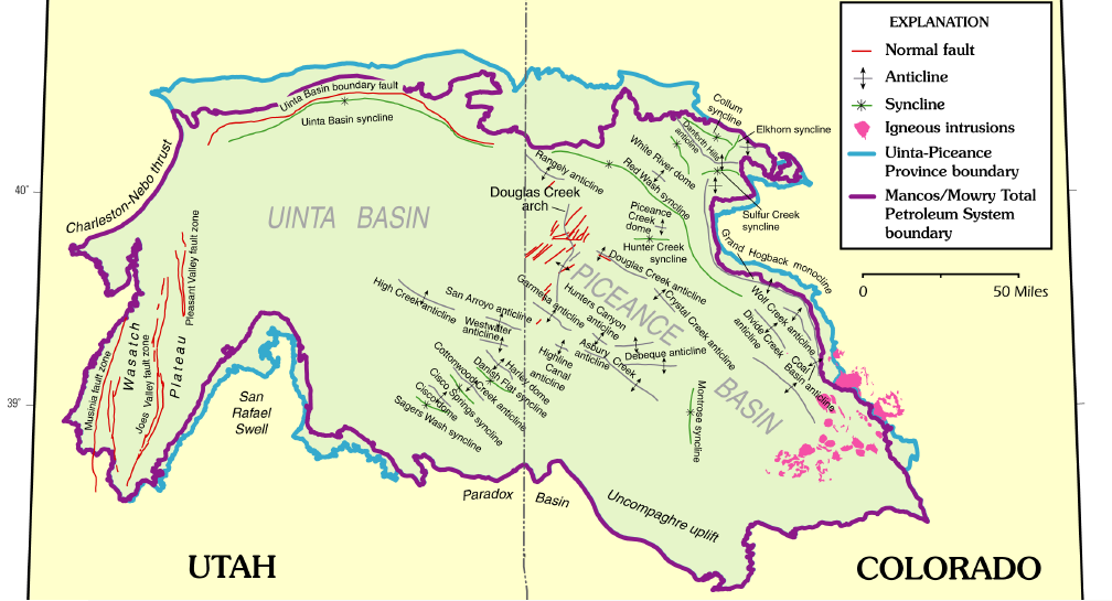
 The Grand Hogback is a 70-mile long, curving, spine-like ridge in Western
The Grand Hogback: Living life on the edge
Retrieved: March 27, 2017. The elevation of the ridge ranges from to . The hogback appears as a series of serrated ridges and is easily discernable from Google Maps and other aerial views. It is visible from
Rifle Gap
. Retrieved: March 27, 2017. both of which have been dammed to create reservoirs and state parks.
 The Grand Hogback is a 70-mile long, curving, spine-like ridge in Western
 Colorado
Colorado (, other variants) is a state in the Mountain states, Mountain West subregion of the Western United States. It encompasses most of the Southern Rocky Mountains, as well as the northeastern portion of the Colorado Plateau and the wes ...
that extends from near McClure Pass in Pitkin County through Garfield County and then to near Meeker in Rio Blanco County. The hogback is significant because it marks part of the boundary between the Colorado Plateau to the west and the Southern Rocky Mountains to the east.Colorado Mountain CollegeThe Grand Hogback: Living life on the edge
Retrieved: March 27, 2017. The elevation of the ridge ranges from to . The hogback appears as a series of serrated ridges and is easily discernable from Google Maps and other aerial views. It is visible from
Interstate 70
Interstate 70 (I-70) is a major east–west Interstate Highway in the United States that runs from I-15 near Cove Fort, Utah, to a park and ride lot just east of I-695 in Baltimore, Maryland, and is the fifth-longest Interstate in the co ...
.
Gaps
Rivers have carved out several gaps in the hogback, the most notable being the one theColorado River
The Colorado River ( es, Río Colorado) is one of the principal rivers (along with the Rio Grande) in the Southwestern United States and northern Mexico. The river drains an expansive, arid watershed that encompasses parts of seven U.S. s ...
has carved out near New Castle, Colorado
The Town of New Castle is a Colorado municipalities#Home rule municipality, home rule municipality in Garfield County, Colorado, Garfield County, Colorado, United States. The population was 4,518 at the 2010 United States Census, 2010 census, up ...
. Others include Harvey Gap and Rifle Gap,Colorado Parks & WildlifeRifle Gap
. Retrieved: March 27, 2017. both of which have been dammed to create reservoirs and state parks.
Geology
A monocline, the Grand Hogback is part of theMesaverde Formation
The Mesaverde Group is a Late Cretaceous stratigraphic group found in areas of Colorado, New Mexico, Utah, and Wyoming, in the Western United States.
History
The Mesaverde Formation was first described by W.H.Holmes in 1877 during the Hayden ...
. The ridge formed towards the end of the Laramide orogeny
The Laramide orogeny was a time period of mountain building in western North America, which started in the Late Cretaceous, 70 to 80 million years ago, and ended 35 to 55 million years ago. The exact duration and ages of beginning and end of the ...
during the middle to late Eocene
The Eocene ( ) Epoch is a geological epoch that lasted from about 56 to 33.9 million years ago (mya). It is the second epoch of the Paleogene Period in the modern Cenozoic Era. The name ''Eocene'' comes from the Ancient Greek (''ēṓs'', " ...
.
References
External links
* The Geology of the Grand Hogback Monocline near Meeker, Colorado – Colorado Geological Survey. {{Authority control Ridges of Colorado Geology of the Rocky Mountains Landforms of Garfield County, Colorado Landforms of Rio Blanco County, Colorado Landforms of Pitkin County, Colorado