Gosthani River on:
[Wikipedia]
[Google]
[Amazon]

 The Gosthani rises in the
 The Gosthani's waters are diverted for agricultural and industrial purposes and the river is the chief source of drinking water to the cities of
File:Gosthani River during rains near Borra Caves 01.jpg, Gosthani River during monsoon near Borra Caves
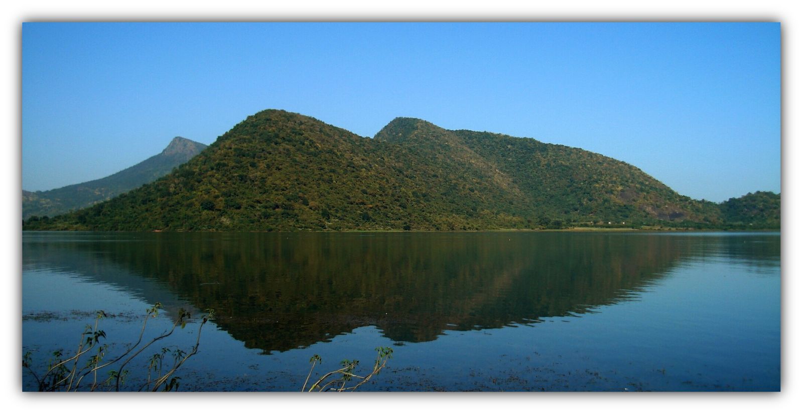
File:River Gosthani at Bhimasingi.jpg, River Gosthani at Bhimasingi
File:River Gosthani at Thagarapuvalasa 1.JPG, River Gosthani at Thagarapuvalasa
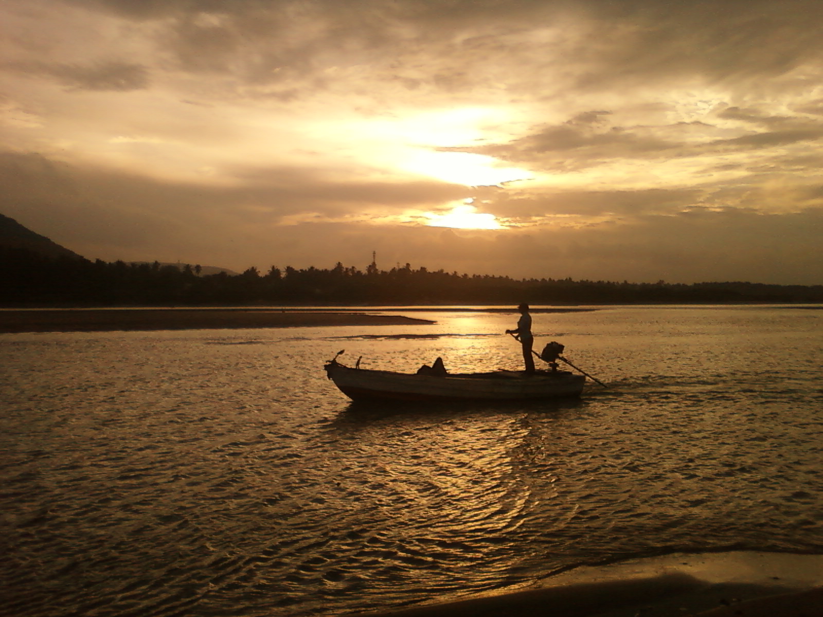
File:Sunset over River Gosthani at Thagarapuvalasa.jpg, Sunset over River Gosthani at Thagarapuvalasa
File:River Gosthani at bhimili.jpg, River Gosthani at Bheemunipatnam
File:Sunset reflections over River Gosthani.jpg, Sunset reflections over River Gosthani
File:Boat view at Bheemili beach 01.jpg, Boat in River Gosthani at Bheemunipatnam beach

 The Gosthani rises in the
 Ananthagiri Hills
Ananthagiri Hills is located in Vikarabad district, Telangana, India. The water flows from these hills to Osman Sagar, also known as Gandipet lake, and Himayathsagar.
It is one of the dense forests in Telangana. Ananthagiri Temple is locat ...
of the Eastern Ghats and flows through the Borra Caves
The Borra Caves (also called ''Borra Guhalu'') are located on the East Coast of India, in the Ananthagiri hills of the Araku Valley (with hill ranges' elevation varying from ) of the Alluri Sitharama Raju district in Andhra Pradesh. The caves ...
which lie near its source. It is the largest river flowing through Visakhapatnam
, image_alt =
, image_caption = From top, left to right: Visakhapatnam aerial view, Vizag seaport, Simhachalam Temple, Aerial view of Rushikonda Beach, Beach road, Novotel Visakhapatnam, INS Kursura submarine museu ...
city. It flows for 120 km before joining the Bay of Bengal through an estuary near Bheemunipatnam. The river basin drains the two coastal districts of Vizianagaram
Vizianagaram is a city and the headquarters of Vizianagaram district in the Indian state of Andhra Pradesh. It is central Eastern Ghats, about west of the Bay of Bengal and north-northeast of Visakhapatnam. The city has a population of 228,02 ...
and Visakhapatnam
, image_alt =
, image_caption = From top, left to right: Visakhapatnam aerial view, Vizag seaport, Simhachalam Temple, Aerial view of Rushikonda Beach, Beach road, Novotel Visakhapatnam, INS Kursura submarine museu ...
. The basin exhibits a subdendritic and dendritic pattern of drainage. The Gosthani's is a minor river basin with a total drainage area
A drainage basin is an area of land where all flowing surface water converges to a single point, such as a river mouth, or flows into another body of water, such as a lake or ocean. A basin is separated from adjacent basins by a perimeter, t ...
of less than 2000 km2. Much of the basin is covered by khondalite group of gneiss
Gneiss ( ) is a common and widely distributed type of metamorphic rock. It is formed by high-temperature and high-pressure metamorphic processes acting on formations composed of igneous or sedimentary rocks. Gneiss forms at higher temperatures a ...
ic rocks. About 3% of the total area of the Visakhapatnam district is under the Gosthani basin. The river is rainfed, receiving an average rainfall of 110 cm most of which comes from the south-west monsoon
A monsoon () is traditionally a seasonal reversing wind accompanied by corresponding changes in precipitation but is now used to describe seasonal changes in atmospheric circulation and precipitation associated with annual latitudinal oscill ...
. There are several red sand hills near Bheemunipatnam, where the Gosthani joins the Bay of Bengal, which are reminiscent of the Chambal ravines. These are thought to have been formed six millennia ago due to shifts in the river's course following tectonic activity. The river joins the Bay of Bengal at Bhimli where it forms an estuary
An estuary is a partially enclosed coastal body of brackish water with one or more rivers or streams flowing into it, and with a free connection to the open sea. Estuaries form a transition zone between river environments and maritime environm ...
.
Historic places
Bheemunipatnam or Bhimli, located at the confluence of the river with the Bay of Bengal was one of the earliest outposts of theDutch East India Company
The United East India Company ( nl, Verenigde Oostindische Compagnie, the VOC) was a chartered company established on the 20th March 1602 by the States General of the Netherlands amalgamating existing companies into the first joint-stock ...
in India and there are many monuments from that era in the town. Ancient Buddhist settlements at Pavuralakonda, near Bhimli and at Gudiwada have been excavated. The river is thought to have provided the inhabitants with drinking water and the estuary at Bhimli facilitated sea-borne trade.
Waterworks
 The Gosthani's waters are diverted for agricultural and industrial purposes and the river is the chief source of drinking water to the cities of
 Vizianagaram
Vizianagaram is a city and the headquarters of Vizianagaram district in the Indian state of Andhra Pradesh. It is central Eastern Ghats, about west of the Bay of Bengal and north-northeast of Visakhapatnam. The city has a population of 228,02 ...
and Visakhapatnam
, image_alt =
, image_caption = From top, left to right: Visakhapatnam aerial view, Vizag seaport, Simhachalam Temple, Aerial view of Rushikonda Beach, Beach road, Novotel Visakhapatnam, INS Kursura submarine museu ...
. Several infiltration wells have been sunk on the Gosthani's riverbed
A stream bed or streambed is the bottom of a stream or river (bathymetry) or the physical confine of the normal water flow ( channel). The lateral confines or channel margins are known as the stream banks or river banks, during all but flood ...
to extract water especially during the summer months. The Thatipudi Reservoir Project with a capacity of 3 TMC was built on the Gosthani during 1963-68 and is located in the Gantyada Mandal of the Vizianagaram district. It irrigates of land in Vizianagaram district and provides drinking water to Visakhapatnam. The Chaparai Falls, situated in a verdant valley, is on the Gosthani river. The Visakhapatnam to Srikakulam leg of the Golden Quadrilateral Highway crosses the Gosthani at Tagarapuvalasa where a new bridge was inaugurated in 2003.
Environmental issues
The decision to grantbauxite
Bauxite is a sedimentary rock with a relatively high aluminium content. It is the world's main source of aluminium and gallium. Bauxite consists mostly of the aluminium minerals gibbsite (Al(OH)3), boehmite (γ-AlO(OH)) and diaspore (α-AlO ...
mining leases in Visakhapatnam by the Government of Andhra Pradesh
Government of Andhra Pradesh, abbreviated as, GOAP, or, Andhra Government, is the subnational government for the Indian state of Andhra Pradesh. It is an elected government with 175 MLAs elected to the Legislative Assembly of Andhra Pradesh fo ...
has drawn criticism from local people, activists and the Central Government
A central government is the government that is a controlling power over a unitary state. Another distinct but sovereign political entity is a federal government, which may have distinct powers at various levels of government, authorized or dele ...
who fear severe environmental damage along the source and catchment areas of the river due to the mining. The decision to lease out the Gosthani's river bed to a private company for the extraction of groundwater
Groundwater is the water present beneath Earth's surface in rock and soil pore spaces and in the fractures of rock formations. About 30 percent of all readily available freshwater in the world is groundwater. A unit of rock or an unconsolidated ...
through the sinking of borewell
A borehole is a narrow shaft bored in the ground, either vertically or horizontally. A borehole may be constructed for many different purposes, including the extraction of water ( drilled water well and tube well), other liquids (such as petro ...
s is thought to have had serious consequences on the water table
The water table is the upper surface of the zone of saturation. The zone of saturation is where the pores and fractures of the ground are saturated with water. It can also be simply explained as the depth below which the ground is saturated.
T ...
and water security
Water security is the focused goal of water policy and water management. A society with a high level of water security makes the most of water's benefits for humans and ecosystems and limits the risk of destructive impacts associated with water. T ...
of over 100,000 people in the region.
Image Gallery
References
External links
{{coord missing, Andhra Pradesh Rivers of Andhra Pradesh Uttarandhra Geography of Visakhapatnam Geography of Visakhapatnam district Geography of Vizianagaram district Rivers of India