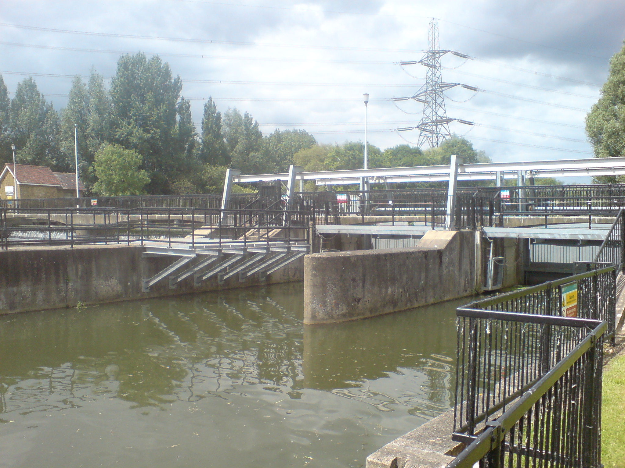
Feildes Weir on:
[Wikipedia]
[Google]
[Amazon]


 Feildes Weir is a
Angling information
Environment Agency-Feildes Weir


 Feildes Weir is a
 weir
A weir or low head dam is a barrier across the width of a river that alters the flow characteristics of water and usually results in a change in the height of the river level. Weirs are also used to control the flow of water for outlets of l ...
on the River Lea
The River Lea ( ) is in South East England. It originates in Bedfordshire, in the Chiltern Hills, and flows southeast through Hertfordshire, along the Essex border and into Greater London, to meet the River Thames at Bow Creek. It is one of t ...
located in Hoddesdon
Hoddesdon () is a town in the Borough of Broxbourne, Hertfordshire, lying entirely within the London Metropolitan Area and Greater London Urban Area. The area is on the River Lea and the Lee Navigation along with the New River.
Hoddesdon is ...
, Hertfordshire
Hertfordshire ( or ; often abbreviated Herts) is one of the home counties in southern England. It borders Bedfordshire and Cambridgeshire to the north, Essex to the east, Greater London to the south, and Buckinghamshire to the west. For govern ...
at the confluence of the River Lea and River Stort
The River Stort is a river in Essex and Hertfordshire, England. It is 24 miles (38 km) long and flows from just south of the village of Langley to the River Lea at Hoddesdon.
The river's name is a back-formation; the town of Bishop's Sto ...
. The weir marks the start of the Lower Lee. A channel of the man-made River Lee Flood Relief Channel
The Lee Flood Relief Channel (FRC) is located in the Lea Valley and flows between Ware, Hertfordshire, and Stratford, east London. Work started on the channel in 1947 following major flooding and it was fully operational by 1976. The channel in ...
is incorporated into the weir.
History
The weir has had a complex history of changes to channel control and bypassing over the years. Control was originally exercised by a barrage of gates andsluice
Sluice ( ) is a word for a channel controlled at its head by a movable gate which is called a sluice gate. A sluice gate is traditionally a wood or metal barrier sliding in grooves that are set in the sides of the waterway and can be considered ...
s.
In 1976, a wide thin-plate weir was installed, with three vertical-lift sluices controlling a parallel flood relief channel. Flows average about 4.4 m3/s discharge over the weir; higher flows enter the flood channel.
Angling
Angling in the weir pool is controlled by the Ware Angling Club and the River Lea Angling Club.Access
Road
* From Hoddesdon via A10 road, A1170 road to Dinant Link Road to Rattys Lane. * FromNazeing
Nazeing is a village and parish in Essex, England. Within the parish are the separate settlements of Upper Nazeing, Middle Nazeing, and Lower Nazeing. The Prime Meridian passes to the west of Lower Nazeing.
Location and topography
Nazeing is ...
via Dobbs Weir
Dobbs Weir is both a weir in Hoddesdon, Hertfordshire and an area of Roydon, Essex in England on the River Lea. It is well known for angling, outdoor beauty and watersports. It is overlooked by the ''Fish and Eels'' pub.
Angling
The weir ...
Road.
Rail
*Rye House railway station
Rye House railway station is on the Hertford East branch line off the West Anglia Main Line in the east of England, serving the Rye House area of Hoddesdon, Hertfordshire. It is down the line from London Liverpool Street and is situated between ...
.
Other
* Pedestrian and cycling access viaLea Valley Walk
The Lea Valley Walk is a long-distance path located between Leagrave, the source of the River Lea near Luton, and the Thames, at Limehouse Basin, Limehouse, east London. From its source much of the walk is rural. At Hertford the path follows t ...
.
External links
Angling information
Environment Agency-Feildes Weir
References
{{authority control Weirs on the River Lea River Stort