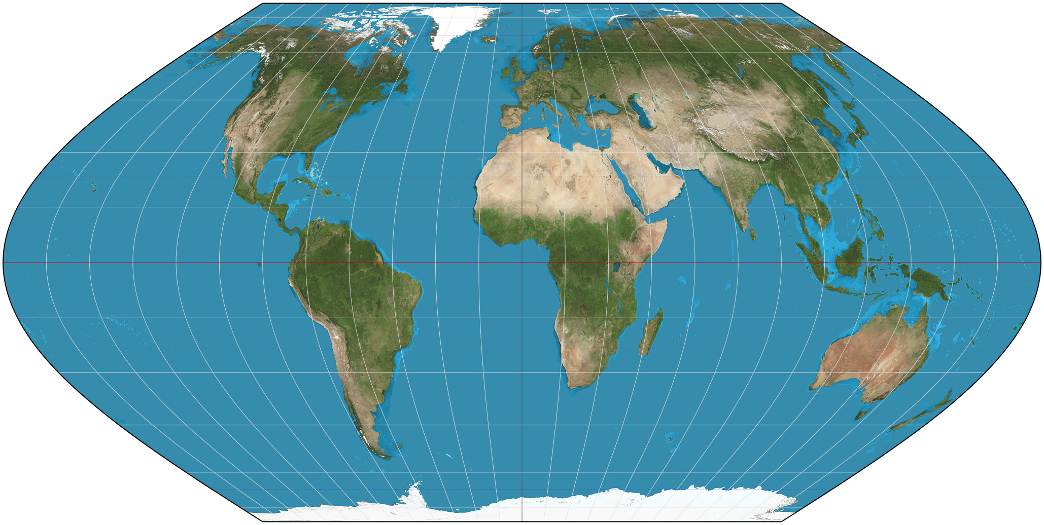
Eckert VI projection on:
[Wikipedia]
[Google]
[Amazon]
 The Eckert VI projection is an equal-area pseudocylindrical map projection. The length of polar line is half that of the equator, and lines of
Eckert VI projection at Mathworld
Map projections Equal-area projections {{Cartography-stub
 The Eckert VI projection is an equal-area pseudocylindrical map projection. The length of polar line is half that of the equator, and lines of
 longitude
Longitude (, ) is a geographic coordinate that specifies the east– west position of a point on the surface of the Earth, or another celestial body. It is an angular measurement, usually expressed in degrees and denoted by the Greek lette ...
are sinusoids. It was first described by Max Eckert in 1906 as one of a series of three pairs of pseudocylindrical projections. In each pair, the meridians have the same shape, and the odd-numbered projection has equally spaced parallels, whereas the even-numbered projection has parallels spaced to preserve area. The pair to Eckert VI is the Eckert V projection.
See also
* List of map projections *Eckert II projection
The Eckert II projection is an equal-area pseudocylindrical map projection. In the equatorial aspect (where the equator is shown as the horizontal axis) the network of longitude and latitude lines consists solely of straight lines, and the outer ...
* Eckert IV projection
References
External links
Eckert VI projection at Mathworld
Map projections Equal-area projections {{Cartography-stub