Bogda Shan on:
[Wikipedia]
[Google]
[Amazon]
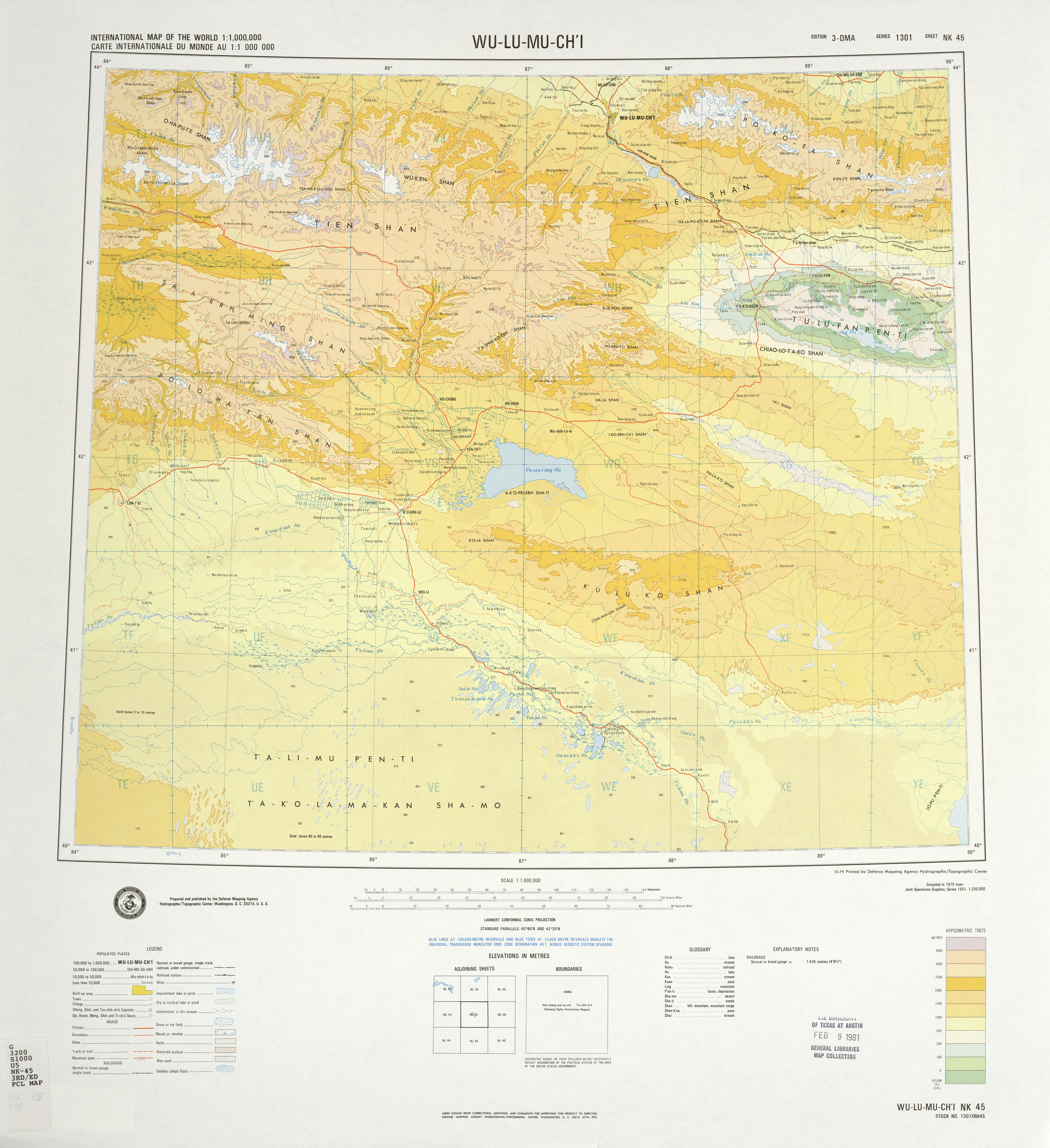
The Bogda Shan ( mn, Богд Уул, Bogd Uul; zh, s=博格达山, t=博格達山, p=Bógédá shān) range is part of the Eastern 

Tian Shan
The Tian Shan,, , otk, 𐰴𐰣 𐱅𐰭𐰼𐰃, , tr, Tanrı Dağı, mn, Тэнгэр уул, , ug, تەڭرىتاغ, , , kk, Тәңіртауы / Алатау, , , ky, Теңир-Тоо / Ала-Тоо, , , uz, Tyan-Shan / Tangritog‘ ...
mountains and located in Xinjiang
Xinjiang, SASM/GNC: ''Xinjang''; zh, c=, p=Xīnjiāng; formerly romanized as Sinkiang (, ), officially the Xinjiang Uygur Autonomous Region (XUAR), is an autonomous region of the People's Republic of China (PRC), located in the northwest ...
, some 60 km east of Ürümqi
Ürümqi ( ; also spelled Ürümchi or without umlauts), formerly known as Dihua (also spelled Tihwa), is the capital of the Xinjiang Uyghur Autonomous Region in the far northwest of the People's Republic of China. Ürümqi developed its ...
. The topography of the area gradually increases from north to south. The elevation is between 1380 and 5445 m, with the largest relative relief up to 4065 m. The highest elevation is Bogda Peak, at 5,445 m.
Administratively, the range forms the border between Dabancheng District to the south and Fukang City
Fukang is a county-level city in Xinjiang Uygur Autonomous Region, China. Its area is and its population in 2007 was reported as approximately 1.5 million. Fukang is located in Northern Xinjiang in Changji Hui Autonomous Prefecture, north of Ür ...
and Jimsar County
Jimsar County is a county in Changji Hui Autonomous Prefecture, Xinjiang, China. It contains an area of . According to the 2002 census, it has a population of 130,000.
Near the town of Jimsar are the ruins of the ancient city of Beiting () or Tin ...
to the north. In all three units, irrigated agriculture is based on the water flowing in streams that starts in the Bogda Shan.


References
Biosphere reserves of China Mountain ranges of Xinjiang Mountain ranges of the Tian Shan {{Xinjiang-geo-stub