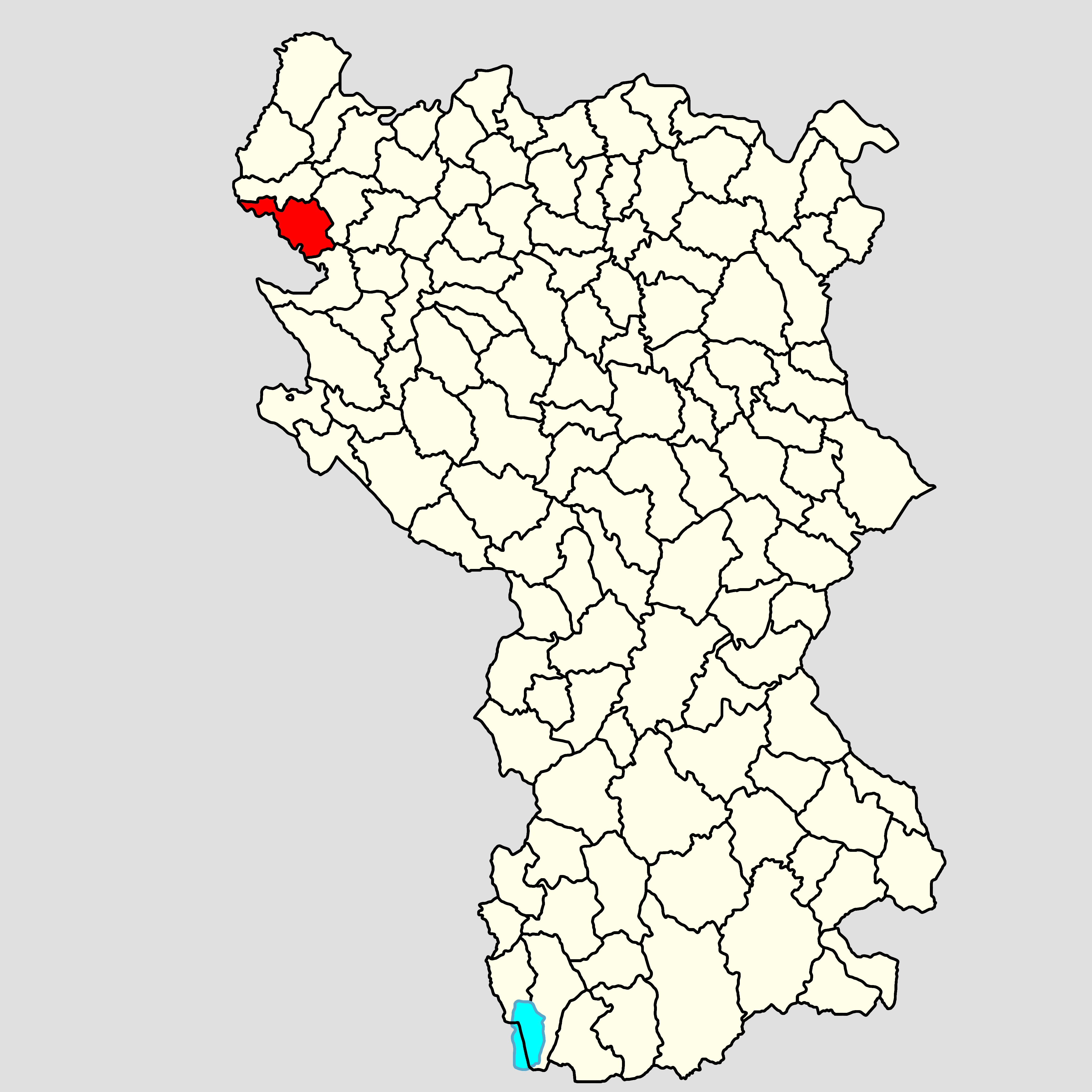
Azbukovica on:
[Wikipedia]
[Google]
[Amazon]
 Azbukovica is a highland area in western
 Azbukovica is a highland area in western
 Serbia
Serbia (, ; Serbian: , , ), officially the Republic of Serbia ( Serbian: , , ), is a landlocked country in Southeastern and Central Europe, situated at the crossroads of the Pannonian Basin and the Balkans. It shares land borders with Hu ...
, on the border with Bosnia and Herzegovina
Bosnia and Herzegovina ( sh, / , ), abbreviated BiH () or B&H, sometimes called Bosnia–Herzegovina and often known informally as Bosnia, is a country at the crossroads of south and southeast Europe, located in the Balkans. Bosnia and ...
. River Drina
The Drina ( sr-Cyrl, Дрина, ) is a long Balkans river, which forms a large portion of the border between Bosnia and Herzegovina and Serbia. It is the longest tributary of the Sava River and the longest karst river in the Dinaric Alps whi ...
separates Azbukovica from municipalities of Srebrenica
Srebrenica ( sr-cyrl, Сребреница, ) is a town and municipality located in the easternmost part of Republika Srpska, an entity of Bosnia and Herzegovina. It is a small mountain town, with its main industry being salt mining and a nearby ...
and Bratunac
Bratunac ( sr-cyrl, Братунац) is a town and municipality located in easternmost part of Bosnia and Herzegovina. As of 2013 census, it has a population of 20,340 inhabitants, while the town of Bratunac has a population of 8,359 inhabitants ...
. Borders: to the northwest - municipality of Mali Zvornik
Mali Zvornik ( sr-cyr, Мали Зворник, ) is a town and municipality located in the Mačva District of western Serbia. In 2011, the population of the town is 4,132, while the population of the municipality is 11,987. It lays opposite of th ...
, to the north - municipality of Krupanj, to the northeastern - municipality of Osečina
Osečina ( sr-cyr, Осечина, ) is a town and municipality located in the Kolubara District of western Serbia. As of 2011, the population of the town is 2,730, while population of the municipality is 12,571 inhabitants.
Settlements
Apart f ...
, to the east - municipality of Valjevo, and to the south - municipality of Bajina Bašta
Bajina Bašta ( sr-cyr, Бајина Башта, ) is a town and municipality located in the Zlatibor District of western Serbia. The town lies in the valley of the Drina river at the eastern edge of Tara National Park.
The population of the to ...
. The highest peak is Tornička Bobija 1272 meters high on the mountain Bobija. Several torrential rivers, flowing into the Drina
The Drina ( sr-Cyrl, Дрина, ) is a long Balkans river, which forms a large portion of the border between Bosnia and Herzegovina and Serbia. It is the longest tributary of the Sava River and the longest karst river in the Dinaric Alps whi ...
, intersect Azbukovica. The most famous rivers are Trešnjica
Trešnjica is a river in western Serbia. The source of the river is situated on the Povlen mountain. After 23 km the Trešnjica joins the Drina near Ljubovija.
Course
The Trešnjica originates on the southwestern slope of the Povlen, at ...
and Ljuboviđa. In the late Ottoman period, the region was administratively part of the Sokol ''nahiya'' (Sokolska nahija).
References
{{Coord, 44.2000, N, 19.5000, E, source:wikidata-and-enwiki-cat-tree_region:RS, display=title Geographical regions of Serbia