|
Delaware Route 4
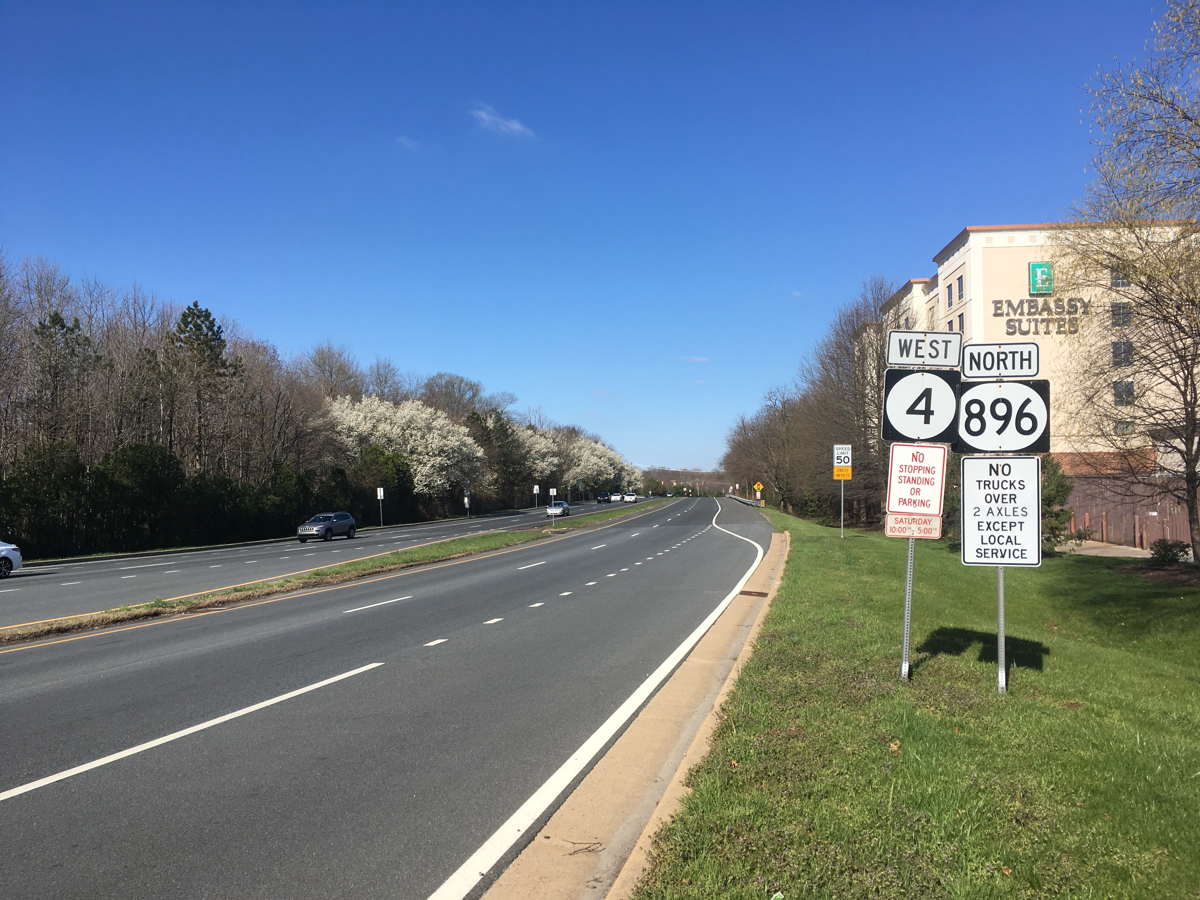
Delaware Route 4 (DE 4) is a state highway in New Castle County, Delaware. The route runs from DE 279 and DE 896 in Newark east to DE 48 in downtown Wilmington. The route passes through suburban areas in northern New Castle County between Newark and Wilmington, intersecting DE 72 in the eastern part of Newark, DE 273 in Ogletown, DE 58 in Christiana, DE 7 in Stanton, DE 141 in Newport, DE 62 and DE 100 between Newport and Wilmington, and Interstate 95 (I-95)/ U.S. Route 202 (US 202) in Wilmington. DE 4 is a four-lane road for much of its length. What is now DE 4 was originally a county road that was paved in the 1930s. DE 4 was designated in the 1960s to run from the Maryland border along Chestnut Hill Road near Newark east to DE 48 in Wilmington. Between 1971 and 1981, the route extended past DE 48 along Washington Street and Washington Street Extension to US ... [...More Info...] [...Related Items...] OR: [Wikipedia] [Google] [Baidu] |
Delaware Department Of Transportation
The Delaware Department of Transportation (DelDOT) is an agency of the U.S. state of Delaware. The Secretary of Transportation is Nicole Majeski. The agency was established in 1917 and has its headquarters in Dover. The department's responsibilities include maintaining 89 percent of the state's public roadways (the Delaware State Route System) totaling 13,507 lane miles, snow removal, overseeing the "Adopt-A-Highway" program, overseeing E-ZPass Delaware, the Division of Motor Vehicles (DMV), and the Delaware Transit Corporation (known as DART First State). DelDOT maintains a 24/7 Traffic Management Center in Smyrna at the State Emergency Operations Center. At that location, they monitor traffic conditions, operate traffic lights, and broadcast on 1380 AM via WTMC radio. Since 1969, the agency has also maintained a transportation library on Bay Road in Dover. On February 18, 2011, Sec. Carolann Wicks, who had been Secretary of Transportation since 2006, resigned. On March 2 ... [...More Info...] [...Related Items...] OR: [Wikipedia] [Google] [Baidu] |
Delaware Route 7
Delaware Route 7 (DE 7) is a north–south highway in New Castle County, Delaware that connects U.S. Route 13 (US 13) and DE 72 in Wrangle Hill north to the Pennsylvania border near Hockessin, where the road continues into Pennsylvania as State Route 3013 (SR 3013), intersecting Pennsylvania Route 41 (PA 41) at an interchange. Between Wrangle Hill and Christiana, DE 7 runs parallel to the west of the DE 1 freeway through suburban areas, passing through Bear. DE 7 joins the DE 1 freeway next to the Christiana Mall and comes to an interchange with Interstate 95 (I-95), where DE 1 reaches its northern terminus, before the freeway ends at the DE 58 interchange. After the freeway segment, DE 7 continues north as an at-grade road concurrent with DE 4 through Stanton. From Stanton to the Pennsylvania border, DE 7 heads northwest through suburban areas, passing through Pike Creek ... [...More Info...] [...Related Items...] OR: [Wikipedia] [Google] [Baidu] |
Divided Highway
A dual carriageway ( BE) or divided highway ( AE) is a class of highway with carriageways for traffic travelling in opposite directions separated by a central reservation (BrE) or median (AmE). Roads with two or more carriageways which are designed to higher standards with controlled access are generally classed as motorways, freeways, etc., rather than dual carriageways. A road without a central reservation is a single carriageway regardless of the number of lanes. Dual carriageways have improved road traffic safety over single carriageways and typically have higher speed limits as a result. In some places, express lanes and local/collector lanes are used within a local-express-lane system to provide more capacity and to smooth traffic flows for longer-distance travel. History A very early (perhaps the first) example of a dual carriageway was the '' Via Portuensis'', built in the first century by the Roman emperor Claudius between Rome and its port Ostia at the mouth o ... [...More Info...] [...Related Items...] OR: [Wikipedia] [Google] [Baidu] |
Northeast Corridor
The Northeast Corridor (NEC) is an electrified railroad line in the Northeast megalopolis of the United States. Owned primarily by Amtrak, it runs from Boston through Providence, New Haven, Stamford, New York City, Philadelphia, Wilmington, and Baltimore to Washington, D.C. The NEC closely parallels Interstate 95 for most of its length, and is the busiest passenger rail line in the United States both by ridership and by service frequency as of 2013. The NEC carries more than 2,200 trains daily. The corridor is used by many Amtrak trains, including the high-speed Acela, intercity trains and several long-distance trains. Most of the corridor also has frequent commuter rail service, operated by the MBTA, Shore Line East, Hartford Line, Metro-North Railroad, Long Island Rail Road, New Jersey Transit, SEPTA and MARC. While large through freights have not run on the NEC since the early 1980s, several companies continue to run smaller local freights over some select few sec ... [...More Info...] [...Related Items...] OR: [Wikipedia] [Google] [Baidu] |
Amtrak
The National Railroad Passenger Corporation, doing business as Amtrak () , is the national passenger railroad company of the United States. It operates inter-city rail service in 46 of the 48 contiguous U.S. States and nine cities in Canada. ''Amtrak'' is a portmanteau of the words ''America'' and ''trak'', the latter itself a sensational spelling of ''track''. Founded in 1971 as a quasi-public corporation to operate many U.S. passenger rail routes, Amtrak receives a combination of state and federal subsidies but is managed as a for-profit organization. The United States federal government, through the Secretary of Transportation, owns all the company's issued and outstanding preferred stock. Amtrak's headquarters is located one block west of Union Station in Washington, D.C. Amtrak serves more than 500 destinations in 46 states and three Canadian provinces, operating more than 300 trains daily over of track. Amtrak owns approximately of this track and operates an ... [...More Info...] [...Related Items...] OR: [Wikipedia] [Google] [Baidu] |
Christina River
The Christina River is a tributary of the Delaware River, approximately 35 miles (56 km) long, in northern Delaware in the United States, also flowing through small areas of southeastern Pennsylvania and northeastern Maryland. Near its mouth the river flows past downtown Wilmington, Delaware, forming the city's harbor for traffic on the Delaware River. The Port of Wilmington, opened in 1923 at the river's mouth, handles international cargo and trade. The river rises in southeastern Pennsylvania, in Franklin Township in southern Chester County, and initially flows southeastwardly, passing through the northeastern extremity of Maryland in northeastern Cecil County, into New Castle County in Delaware, where it flows through western and southern areas of the city of Newark and then turns northeastwardly, passing the town of Newport and approaching Wilmington from the southwest. It receives White Clay Creek from the west near Newport, and Brandywine Creek in Wilmin ... [...More Info...] [...Related Items...] OR: [Wikipedia] [Google] [Baidu] |
Concurrency (road)
A concurrency in a road network is an instance of one physical roadway bearing two or more different route numbers. When two roadways share the same right-of-way, it is sometimes called a common section or commons. Other terminology for a concurrency includes overlap, coincidence, duplex (two concurrent routes), triplex (three concurrent routes), multiplex (any number of concurrent routes), dual routing or triple routing. Concurrent numbering can become very common in jurisdictions that allow it. Where multiple routes must pass between a single mountain crossing or over a bridge, or through a major city, it is often economically and practically advantageous for them all to be accommodated on a single physical roadway. In some jurisdictions, however, concurrent numbering is avoided by posting only one route number on highway signs; these routes disappear at the start of the concurrency and reappear when it ends. However, any route that becomes unsigned in the middle of the concurre ... [...More Info...] [...Related Items...] OR: [Wikipedia] [Google] [Baidu] |
Delaware Route 2
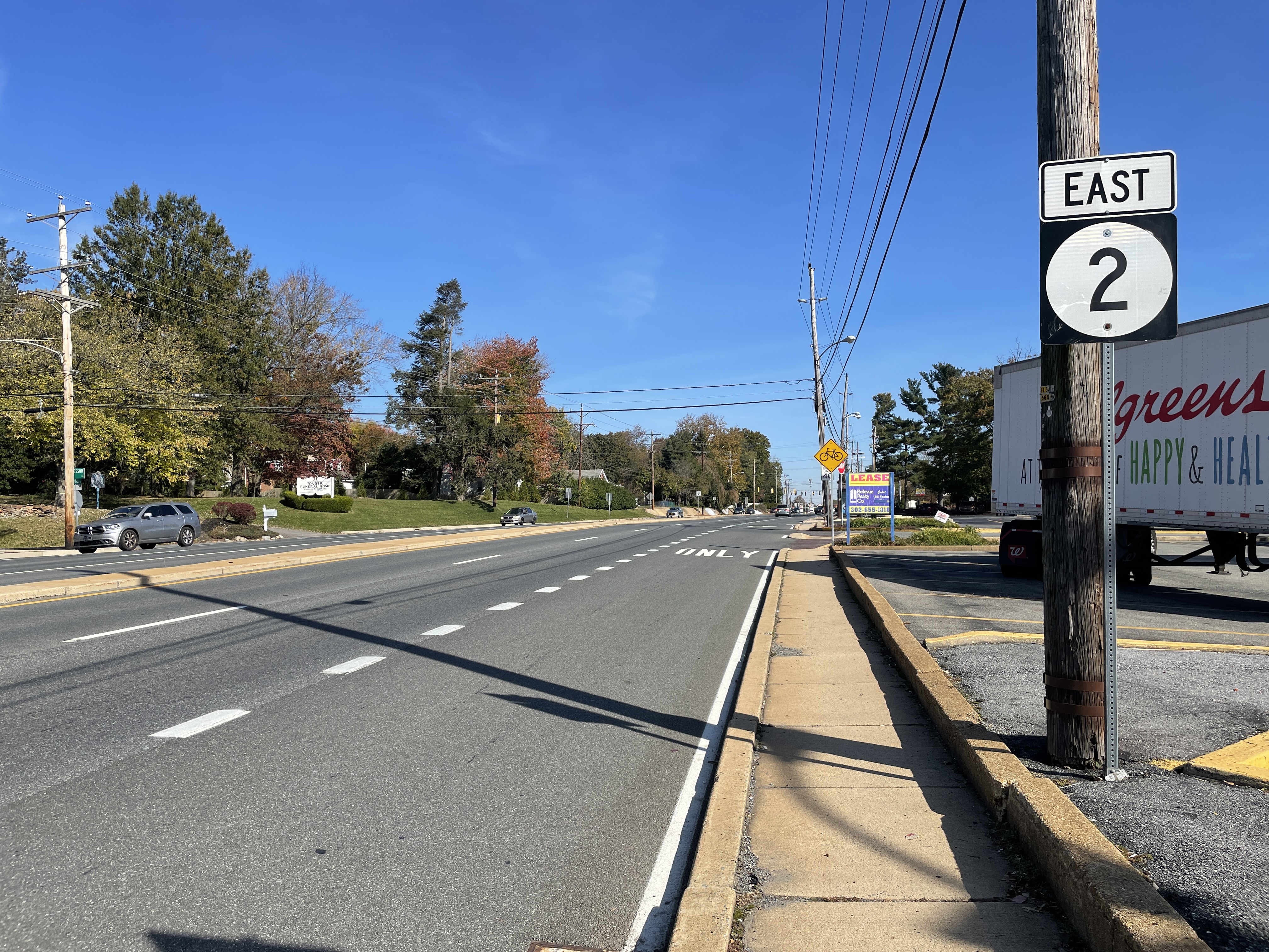
Delaware Route 2 (DE 2) is a east–west state highway located in the northern part of New Castle County in the U.S. state of Delaware. It runs from DE 72 and DE 273 on the eastern edge of Newark east to DE 52 in Wilmington. Between Newark and Wilmington, the route is a four- to six-lane divided highway called Capitol Trail and Kirkwood Highway that passes through suburban areas, running through Marshallton, Prices Corner, and Elsmere. In Wilmington, DE 2 is routed along the one-way pair of Lincoln Street eastbound and Union Street westbound, passing through urban areas. What would become DE 2 was paved by 1924 and became a state highway in 1927, receiving the DE 2 designation by 1936. At this time, the western terminus of the route was at the Maryland state line southwest of Newark, where the road continued into that state as Maryland Route 279 (MD 279). The road was progressively widened into a divided highway fro ... [...More Info...] [...Related Items...] OR: [Wikipedia] [Google] [Baidu] |
Bellefonte, Delaware
Bellefonte is a town in New Castle County, Delaware, United States. According to the 2010 Census, the population of the town is 1,193. Geography Bellefonte is located at (39.7662246, –75.5093647). The town is roughly centered at the intersection of Brandywine Boulevard and Bellefonte Avenue. According to the United States Census Bureau, the town has a total area of , all land. Climate The climate in this area is characterized by hot, humid summers and generally mild to cool winters. According to the Köppen Climate Classification system, Bellefonte has a humid subtropical climate, abbreviated "Cfa" on climate maps. Infrastructure Transportation Brandywine Boulevard serves as the main street through Bellefonte, passing southwest-northeast through the town. U.S. Route 13 Business (Philadelphia Pike) passes along the northwestern edge of Bellefonte, heading northeast to Claymont and southwest to Wilmington. Delaware Route 3 passes to the west of Bellefonte and provides ... [...More Info...] [...Related Items...] OR: [Wikipedia] [Google] [Baidu] |
Maryland
Maryland ( ) is a state in the Mid-Atlantic region of the United States. It shares borders with Virginia, West Virginia, and the District of Columbia to its south and west; Pennsylvania to its north; and Delaware and the Atlantic Ocean to its east. Baltimore is the largest city in the state, and the capital is Annapolis. Among its occasional nicknames are '' Old Line State'', the ''Free State'', and the '' Chesapeake Bay State''. It is named after Henrietta Maria, the French-born queen of England, Scotland, and Ireland, who was known then in England as Mary. Before its coastline was explored by Europeans in the 16th century, Maryland was inhabited by several groups of Native Americans – mostly by Algonquian peoples and, to a lesser degree, Iroquoian and Siouan. As one of the original Thirteen Colonies of England, Maryland was founded by George Calvert, 1st Baron Baltimore, a Catholic convert"George Calvert and Cecilius Calvert, Barons Baltimore" William Hand Browne, ... [...More Info...] [...Related Items...] OR: [Wikipedia] [Google] [Baidu] |
Interstate 95 In Delaware
Interstate 95 (I-95) is an Interstate highway running along the East Coast of the United States from Miami, Florida, north to the Canadian border in Houlton, Maine. In the state of Delaware, the route runs for across the Wilmington area in northern New Castle County from the Maryland state line near Newark northeast to the Pennsylvania state line in Claymont. I-95 is the only primary (2-digit) Interstate highway that enters Delaware, although it also has two auxiliary routes within the state ( I-295 and I-495). Between the Maryland state line and Newport, I-95 follows the Delaware Turnpike (John F. Kennedy Memorial Highway), a toll road with a mainline toll plaza near the state line. Near Newport, the Interstate has a large interchange with Delaware Route 141 (DE 141) and the southern termini of I-295 and I-495. I-95 heads north through Wilmington concurrent with U.S. Route 202 (US 202) on the Wilmington Expressway. Past Wilmington, I-95 continue ... [...More Info...] [...Related Items...] OR: [Wikipedia] [Google] [Baidu] |


_1.jpg)


