|
Val Müstair
Val Müstair (german: Münstertal) is a municipality in the Engiadina Bassa/Val Müstair Region in the Swiss canton of Graubünden. It was formed on 1 January 2009 through the merger of Tschierv, Fuldera, Lü, Valchava, Santa Maria Val Müstair and Müstair. Demographics Val Müstair has a population (as of ) of . Geography The Val Müstair ( German: ''Münstertal'', it, Val Monastero) is a mountain valley in the Swiss Alps. It connects the Fuorn Pass, () with the Italian province of South Tyrol and the Vinschgau (). The Benedictine Convent of Saint John at Müstair (''monastery''), a World Heritage Site, was probably founded by Charlemagne, sharing history with its neighbor, the Marienberg Abbey. The most important villages in the Val Müstair are: Tschierv (), Valchava (), Sta. Maria (), Müstair () (all Swiss) and Taufers im Münstertal in South Tyrol. There are no other inhabited connected valleys, but the road over the Umbrail Pass (and the Stelvio Pas ... [...More Info...] [...Related Items...] OR: [Wikipedia] [Google] [Baidu] |
Engiadina Bassa/Val Müstair Region
Engiadina Bassa/Val Müstair Region is one of the eleven administrative districts in the canton of Graubünden in Switzerland ). Swiss law does not designate a ''capital'' as such, but the federal parliament and government are installed in Bern, while other federal institutions, such as the federal courts, are in other cities (Bellinzona, Lausanne, Luzern, Neuchâtel .... It had an area of and a population of (as of ).. It was created on 1 January 2017 as part of a reorganization of the Canton. accessed 16 February 2017 Reference ...
|
South Tyrol
it, Provincia Autonoma di Bolzano – Alto Adige lld, Provinzia Autonoma de Balsan/Bulsan – Südtirol , settlement_type = Autonomous province , image_skyline = , image_alt = , image_caption = , image_flag = Flag_of_South_Tyrol.svg , flag_alt = , image_shield = Suedtirol CoA.svg , shield_size = x100px , shield_alt = Coat of arms of Tyrol , anthem = , image_map = Bolzano in Italy.svg , map_alt = , map_caption = Map highlighting the location of the province of South Tyrol in Italy (in red) , coordinates = , coordinates_footnotes = , subdivision_type = Country , subdivision_name = Italy , subdivision_type1 = ... [...More Info...] [...Related Items...] OR: [Wikipedia] [Google] [Baidu] |
Lü, Switzerland
Lü is a village in the Val Müstair municipality in the district of Inn in the Swiss canton of Graubünden. In 2009 Lü merged with Fuldera, Müstair, Santa Maria Val Müstair, Tschierv and Valchava to form the municipality of Val Müstair.Amtliches Gemeindeverzeichnis der Schweiz published by the Swiss Federal Statistical Office accessed 23 September 2009 History Lü is first mentioned in 1466 as ''Lug''.Geography  Lü had an area, , of . Of this area, 45.5% is used for agricultural ...
[...More Info...] [...Related Items...] OR: [Wikipedia] [Google] [Baidu] |
Romansh Language
Romansh (; sometimes also spelled Romansch and Rumantsch; Sursilvan: ; Vallader, Surmiran, and Rumantsch Grischun: ; Putèr: ; Sutsilvan: , , ; Jauer: ) is a Gallo-Romance language spoken predominantly in the Swiss canton of the Grisons (Graubünden). Romansh has been recognized as a national language of Switzerland since 1938, and as an official language in correspondence with Romansh-speaking citizens since 1996, along with German, French, and Italian. It also has official status in the canton of the Grisons alongside German and Italian and is used as the medium of instruction in schools in Romansh-speaking areas. It is sometimes grouped by linguists with Ladin and Friulian as the Rhaeto-Romance languages, though this is disputed. Romansh is one of the descendant languages of the spoken Latin language of the Roman Empire, which by the 5th century AD replaced the Celtic and Raetic languages previously spoken in the area. Romansh retains a small number of word ... [...More Info...] [...Related Items...] OR: [Wikipedia] [Google] [Baidu] |
Rom River - real time and historical data: waterlevel, discharge, temperature
The Rom ( Romansh: ''Rom''; it, Ram; german: Rombach in Switzerland or ''Rambach'' in South Tyrol ( Italy) is a river in Switzerland and Italy. The long river is a tributary of the Adige. It rises in the Livigno Range of the Alps, close to the Fuorn Pass. It flows through the Val Müstair in Switzerland, and joins the Adige near the town Glurns in the Italian province of South Tyrol. The drainage basin is . External links * Hydrological data of Romat Müstair Müstair is a village in the Val Müstair municipality in the district of Inn in the Swiss canton of Graubünden. In 2009 Müstair merged with Fuldera, Lü, Switzerland, Santa Maria Val Müstair, Tschierv and Valchava to form Val Müstair. Rio Ram: Descrizione ge ... [...More Info...] [...Related Items...] OR: [Wikipedia] [Google] [Baidu] |
Border
Borders are usually defined as geographical boundaries, imposed either by features such as oceans and terrain, or by political entities such as governments, sovereign states, federated states, and other subnational entities. Political borders can be established through warfare, colonization, or mutual agreements between the political entities that reside in those areas; the creation of these agreements is called boundary delimitation. Some borders—such as most states' internal administrative borders, or inter-state borders within the Schengen Area—are open and completely unguarded. Most external political borders are partially or fully controlled, and may be crossed legally only at designated border checkpoints; adjacent border zones may also be controlled. Buffer zones may be setup on borders between belligerent entities to lower the risk of escalation. While ''border'' refers to the boundary itself, the area around the border is called the frontier. History In the ... [...More Info...] [...Related Items...] OR: [Wikipedia] [Google] [Baidu] |
Grisons
The Grisons () or Graubünden,Names include: *german: (Kanton) Graubünden ; * Romansh: ** rm, label= Sursilvan, (Cantun) Grischun ** rm, label= Vallader, (Chantun) Grischun ** rm, label= Puter, (Chantun) Grischun ** rm, label= Surmiran, (Cantun) Grischun ** rm, label=Sutsilvan, (Cantùn) Grischùn ** rm, label= Rumantsch Grischun, (Chantun) Grischun; * it, (Cantone dei) Grigioni ; *french: (Canton des) Grisons . See also other names. more formally the Canton of the Grisons or the Canton of Graubünden, is one of the twenty-six cantons of Switzerland. It has eleven regions, and its capital is Chur. The German name of the canton, , translates as the "Grey Leagues", referring to the canton's origin in three local alliances, the Three Leagues. The other native names also refer to the Grey League: in Sutsilvan, in the other forms of Romansh, and in Italian. ''"Rhaetia"'' is the Latin name for the area. The Alpine ibex is the canton's heraldic symbol. The largest and e ... [...More Info...] [...Related Items...] OR: [Wikipedia] [Google] [Baidu] |
Stelvio Pass
The Stelvio Pass ( it, Passo dello Stelvio , ''Giogo dello Stelvio'' ; german: Stilfser Joch; ) is a mountain pass in Northern Italy, northern Italy bordering Switzerland at an elevation of Height above mean sea level, above sea level. It is the List of highest paved roads in the Alps, highest paved mountain pass in the Eastern Alps, and the second highest in the Alps, below France's Col de l'Iseran (). Location The pass is located in the Ortler Alps in Italy between Stilfs ("Stelvio" in Italian) in South Tyrol and Bormio in the Provinces of Italy, province of Province of Sondrio, Sondrio. It is about from Bolzano and 200 m from the Switzerland, Swiss border. The Umbrail Pass runs northwards from the Stelvio's western ramp, and the "Three Languages Peak" ''(Dreisprachenspitze)'' above the pass is so named because this is where the Italian (language), Italian, German (language), German, and Romansh language, Romansh language-speaking areas meet. The road connects the Valtellina w ... [...More Info...] [...Related Items...] OR: [Wikipedia] [Google] [Baidu] |
Umbrail Pass
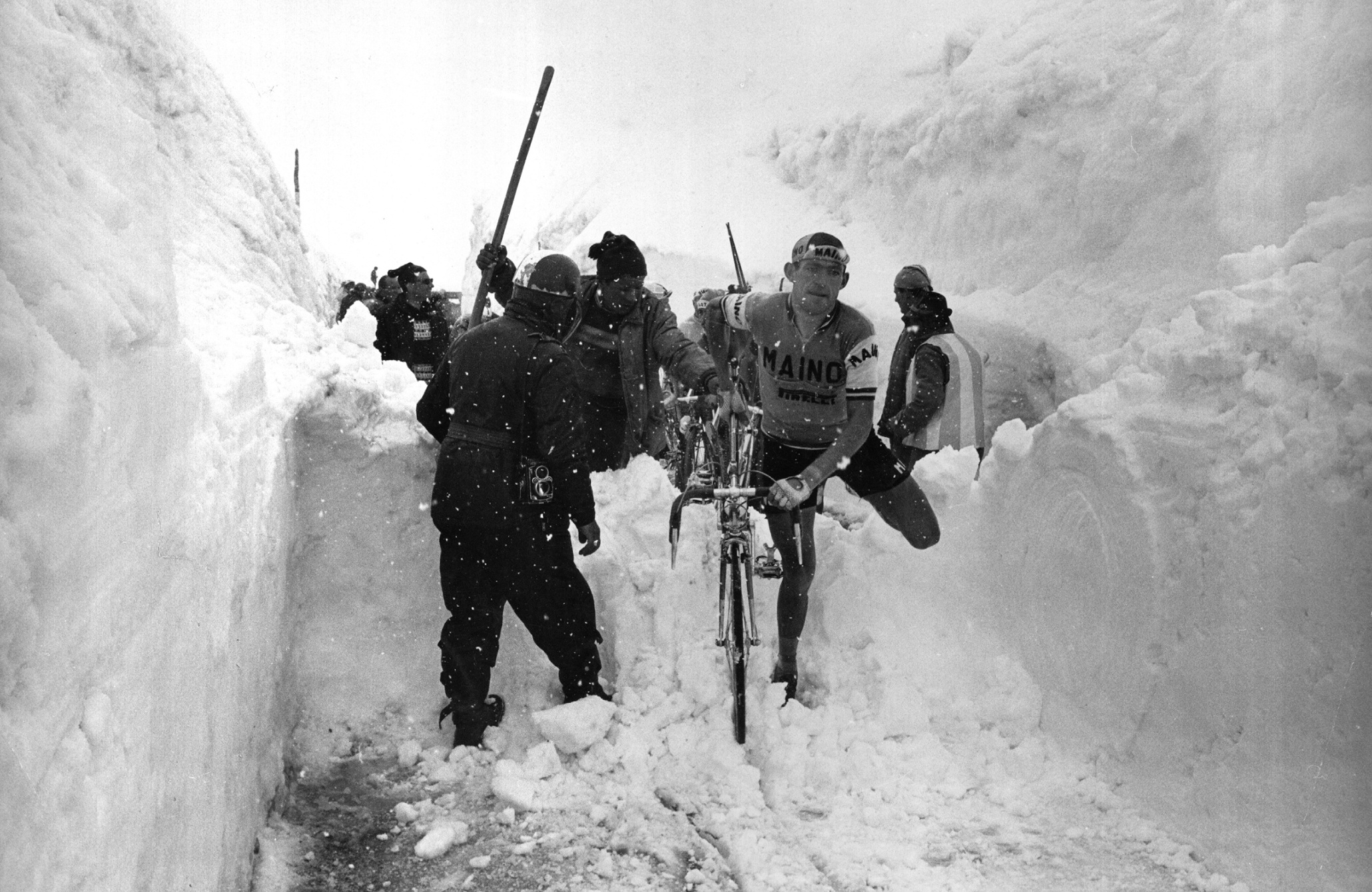
Umbrail Pass (el. ) is a high mountain pass on the Swiss-Italian border connecting Santa Maria in Val Müstair with Bormio in the Adda valley. On the Italian side, it connects to the Stelvio Pass road and the Valtellina. It is currently the highest paved road in Switzerland. The sign at the top of the pass gives its altitude as 2,503 meters above sea level, but the reference level for Swiss altitude measurements has changed since the sign was erected, leaving 2,501 meters as the correct value according to current methods. The pass is named after the " Piz Umbrail", a nearby mountain peak. The road is entirely asphalted since 2015. The last unpaved section was a 1.5 km stretch on the Swiss side between altitudes 1883m and 2012m. During the 2017 Giro d'Italia, Umbrail Pass was reached during the stage from Rovetta to Bormio. See also *List of highest paved roads in Europe This is a list of the highest paved roads in Europe. It includes roads that are over long and w ... [...More Info...] [...Related Items...] OR: [Wikipedia] [Google] [Baidu] |
Taufers Im Münstertal
Taufers im Münstertal (; it, Tubre ; rm, Tuer) is a ''comune'' (municipality) in South Tyrol in northern Italy, located about west of the city of Bolzano, on the border with Switzerland. Geography As of November 30, 2010, it had a population of 964 and an area of .All demographics and other statistics: Italian statistical institute Istat. Taufers borders the following municipalities: Glurns, Mals, Prad am Stilfser Joch, Stilfs, Lü (Switzerland), Müstair (Switzerland), Santa Maria Val Müstair (Switzerland), Scuol (Switzerland), and Valchava (Switzerland). Frazioni The municipality of Taufers contains the ''frazioni'' (subdivisions, mainly villages and hamlets) Pundweil (Pontevilla) and Rifair (Rivaira). History Coat-of-arms The shield is party per bend, the first part of gules and the second fusilly of argent and azure. It is the insignia of Lords of ''Reichenberg'' who lived in the local castle since 1373. The emblem was granted in 1967. Society Linguistic distr ... [...More Info...] [...Related Items...] OR: [Wikipedia] [Google] [Baidu] |
Marienberg Abbey
Marienberg Abbey (german: Abtei Marienberg; it, Abbazia Monte Maria) is a Benedictine Order, Benedictine abbey in Mals, Vinschgau in South Tyrol, northern Italy. It was founded in 1149 or 1150 by Ulrich von Tarasp and other nobles. It has maintained a long tradition of education and, at 1,340 m, it is Europe’s highest abbey. It retains a Baroque architecture, Baroque style with Romanesque architecture, Romanesque elements, and has some well-maintained frescos. History The history of the foundation goes back to Charlemagne, who established the Saint John Abbey, Müstair, St. John Benedictine monastery between 780 and 786 in Müstair further up in the valley. Sometime after 880, the Benedictine monastery was dissolved and re-established as a convent for both sexes. About two hundred years later there was a reorganization, when Eberhard of Tarasp built the monastery of Schuls in the Inn River, Inn valley in the Engadin for the male portion of the community, while nuns remain ... [...More Info...] [...Related Items...] OR: [Wikipedia] [Google] [Baidu] |
Charlemagne
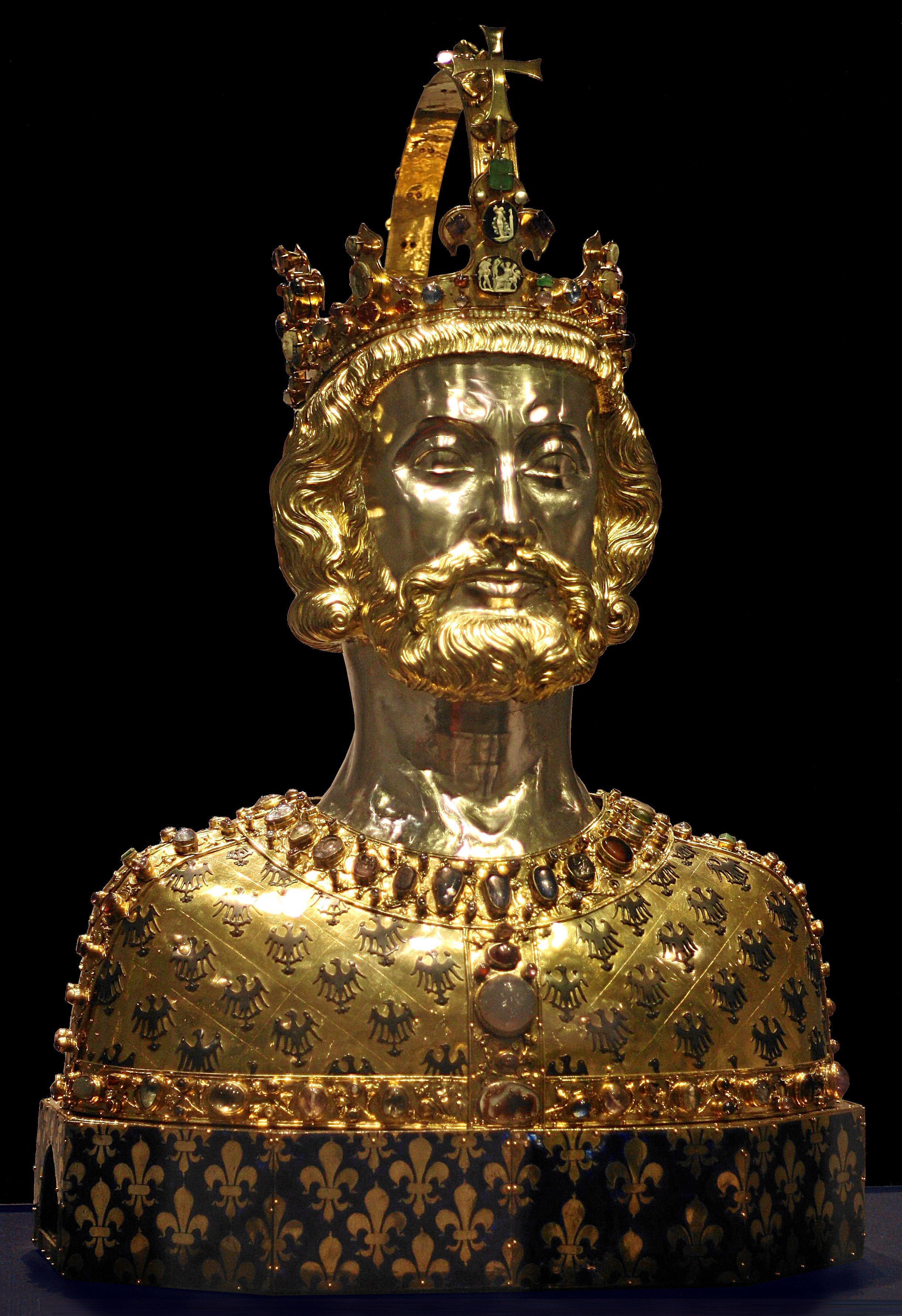
Charlemagne ( , ) or Charles the Great ( la, Carolus Magnus; german: Karl der Große; 2 April 747 – 28 January 814), a member of the Carolingian dynasty, was King of the Franks from 768, King of the Lombards from 774, and the first Emperor of the Romans from 800. Charlemagne succeeded in uniting the majority of western and central Europe and was the first recognized emperor to rule from western Europe after the fall of the Western Roman Empire around three centuries earlier. The expanded Frankish state that Charlemagne founded was the Carolingian Empire. He was canonized by Antipope Paschal III—an act later treated as invalid—and he is now regarded by some as beatified (which is a step on the path to sainthood) in the Catholic Church. Charlemagne was the eldest son of Pepin the Short and Bertrada of Laon. He was born before their canonical marriage. He became king of the Franks in 768 following his father's death, and was initially co-ruler with his brother ... [...More Info...] [...Related Items...] OR: [Wikipedia] [Google] [Baidu] |


