|
Tyana
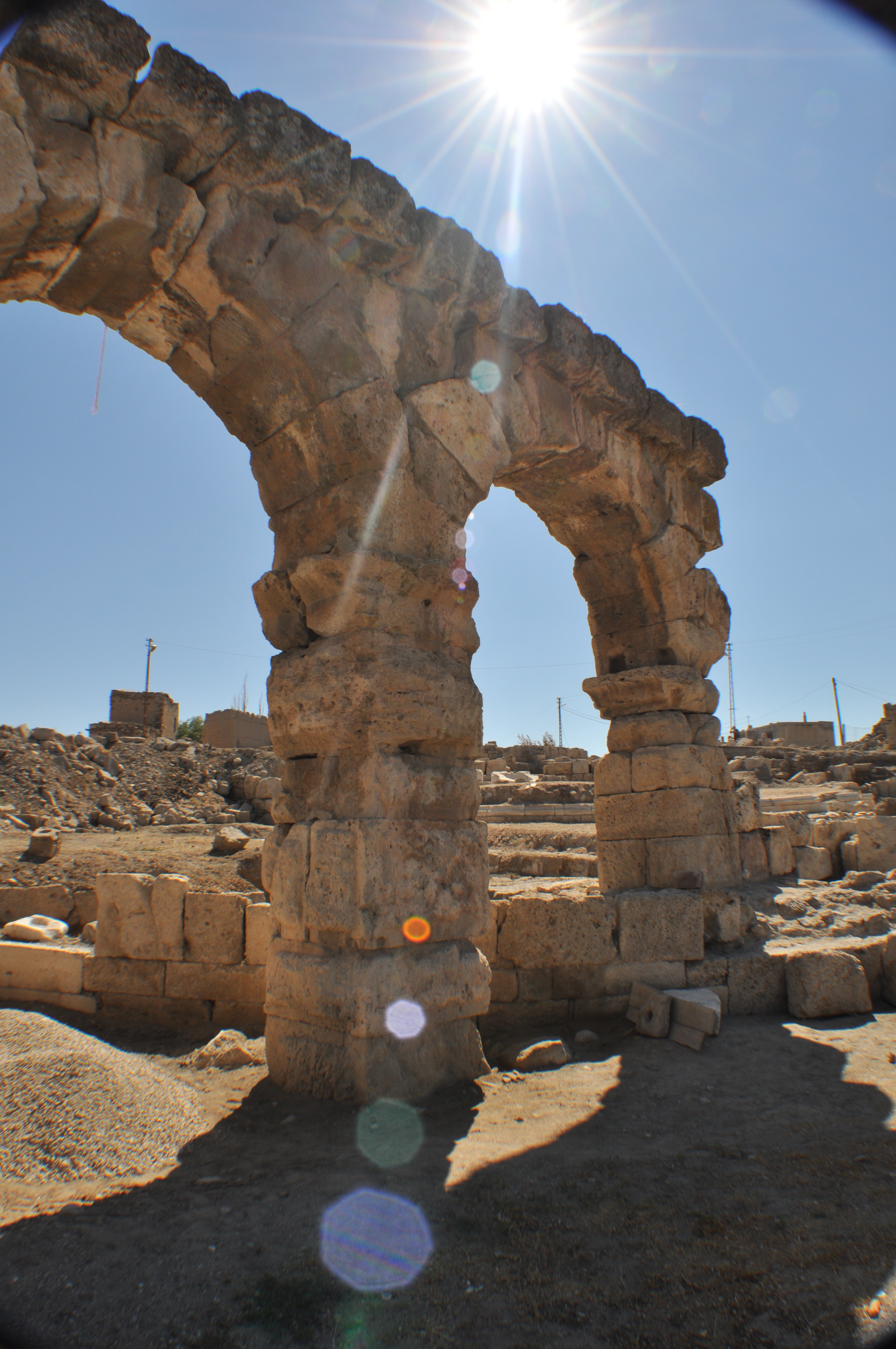
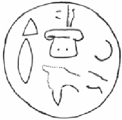
Tyana ( grc, Τύανα), earlier known as Tuwana ( Hieroglyphic Luwian: ; Akkadian: ) and Tuwanuwa ( Hittite: ) was an ancient city in the Anatolian region of Cappadocia, in modern Kemerhisar, Niğde Province, Central Anatolia, Turkey. It was the capital of a Luwian-speaking Neo-Hittite kingdom in the 1st millennium BC. Name The name of the city and the region, and later kingdom, surrounding it was in the Hittite and Neo-Hittite periods. By the Hellenistic and Roman periods, the city was named Tyana, which was derived from its earlier Hittite name. Location The location of Tyana corresponds to the modern-day town of Kemerhisar in Niğde Province, Turkey. The region around Tyana was known as Tyanitis, and it corresponded to roughly the same area as the former Iron Age kingdom of Tuwana, which extended to the Cilician Gates and the kingdom of Quwê in the south, and in the north was bordered by the region of Tabal, which is sometimes considered part of Tuwana. Histor ... [...More Info...] [...Related Items...] OR: [Wikipedia] [Google] [Baidu] |
Niğde
Niğde (; grc, Νίγδη; Hittite: Nahita, Naxita) is a city and the capital of Niğde province in the Central Anatolia region of Turkey at an elevation of 1,299 m. In 2017 the city population was 141,010 people. The city is small with plenty of green space and gardens around the houses. Its people generally tend to be religious and conservative. Medieval monuments are scattered about the centre of the town, especially around the market place. The nearest airport is Nevşehir Kapadokya Airport (NAV) which is 90.6 km (50.6 miles) away. History Niğde is located near a number of ancient trade routes, particularly the road from Kayseri (ancient Caesarea Mazaca) to the Cilician Gates and thence to the Mediterranean coast. The area has been settled by Hittites, Assyrians, Greeks, Armenians, Romans, Byzantines and Turks. In the early Middle Ages, it was known as Magida ( el, Μαγίδα), and was settled by the remaining inhabitants of nearby Tyana after it fell to t ... [...More Info...] [...Related Items...] OR: [Wikipedia] [Google] [Baidu] |
Niğde Province
Niğde Province ( tr, ) is a province in the southern part of Central Anatolia, Turkey. Population is 341,412 (2013 est) of which 141,360 live in the city of Niğde. The population was 348,081 in 2000 and 305,861 in 1990. It covers an area of 7,312 km2. Neighbouring provinces are Kayseri, Adana, Mersin, Konya, Aksaray and Nevşehir. The province is surrounded on three sides by mountain ranges: the Taurus Mountains, Mount Hasan, and the Melendiz Mountains. Districts Niğde province is divided into 6 districts (capital district in bold): * Altunhisar * Bor * Çamardı * Çiftlik *Niğde *Ulukışla Some of the towns within these districts are Bademdere, Bahçeli, Çiftehan, Darboğaz, Fertek and Kemerhisar. Etymology Known in antiquity as ''Nakita'' or ''Nahita'' the name derived from the Iranian goddess ''Anahita''. It has mutated through ''Nekidâ'', ''Nekide'', ''Nikde'' and lastly to ''Niğde'' by the republican regime of Turkey. History The area has been settled ... [...More Info...] [...Related Items...] OR: [Wikipedia] [Google] [Baidu] |
Kemerhisar
Kemerhisar is a belde (town) in Niğde Province, Turkey Geography Kemerhisar at is a part of Bor district of Niğde Province. Distance to Bor is and to Niğde is . It is only west of Bahçeli another town of Niğde. The population is 5,348 as of 2011. History The earliest name of Kemerhisar was ''Tuwanuwa''. It was an important Hitite city on the way to Cicilian Gates in Toros Mountains. During the Hellenistic age, the name was Tyana. It was briefly the capital of Cappadocia, the vassal of Roman Empire. Apollonius of Tyana, a contemporary of Christ, was born in Tyana. The town was an important settlement during Roman Empire domination and the aqueduct, which is the symbol of the town, had been constructed by the emperors Trajan and Hadrian. After the town was incorporated into the Seljuk Empire in the 11th century, the Turks Turk or Turks may refer to: Communities and ethnic groups * Turkic peoples, a collection of ethnic groups who speak Turkic languages * Tu ... [...More Info...] [...Related Items...] OR: [Wikipedia] [Google] [Baidu] |
Cappadocia
Cappadocia or Capadocia (; tr, Kapadokya), is a historical region in Central Anatolia, Turkey. It largely is in the provinces Nevşehir, Kayseri, Aksaray, Kırşehir, Sivas and Niğde. According to Herodotus, in the time of the Ionian Revolt (499 BC), the Cappadocians were reported as occupying a region from Mount Taurus to the vicinity of the Euxine ( Black Sea). Cappadocia, in this sense, was bounded in the south by the chain of the Taurus Mountains that separate it from Cilicia, to the east by the upper Euphrates, to the north by Pontus, and to the west by Lycaonia and eastern Galatia. Van Dam, R. ''Kingdom of Snow: Roman rule and Greek culture in Cappadocia.'' Philadelphia: University of Pennsylvania Press, 2002, p.13 The name, traditionally used in Christian sources throughout history, continues in use as an international Tourism in Turkey, tourism concept to define a region of exceptional natural wonders, in particular characterized by fairy chimneys and a uniq ... [...More Info...] [...Related Items...] OR: [Wikipedia] [Google] [Baidu] |
Warpalawas
Warpalawa(s) (possibly ''Warpalawa II'') was a late 8th century BC (ca 730-710 BC?) Late Hittite (or Neo-Hittite) king of Tabal in south-central Anatolia (modern Turkey). The political center of this Early Iron Age regional state was probably Tuwana (later Graeco-Roman Tyana). Warpalawa is first attested among the five regional rulers who paid tribute to Tiglath-pileser III (745-727 BC). Monuments Among other commemorative monuments, Warpalawas most notably commissioned the carving of the İvriz relief, a rock relief at the site of Ivriz near a spring, south of Tuwanuwa in the province of Konya. In the relief, he is depicted with the storm-god Tarhunzas. His attire in the relief is seen as an evidence for his kingdom's close affinity with the Phrygians. The relief is accompanied with a hieroglyphic Luwian inscription. The Tabalian king Urballa, mentioned in the Assyrian texts at the time of Tiglath-pileser III and Sargon II probably is Warpalawas. Some scholars assume ... [...More Info...] [...Related Items...] OR: [Wikipedia] [Google] [Baidu] |
Midas
Midas (; grc-gre, Μίδας) was the name of a king in Phrygia with whom several myths became associated, as well as two later members of the Phrygian royal house. The most famous King Midas is popularly remembered in Greek mythology for his ability to turn everything he touched into gold. This came to be called the ''golden touch'', or the ''Midas touch''. The legends told about this Midas and his father Gordias, credited with founding the Phrygian capital city Gordium and tying the Gordian Knot, indicate that they were believed to have lived sometime in the 2nd millennium BC, well before the Trojan War. However, Homer does not mention Midas or Gordias, while instead mentioning two other Phrygian kings, Mygdon and Otreus. The Phrygian city Midaeum was presumably named after him, and this is probably also the Midas that according to Pausanias founded Ancyra (today known as Ankara). Another King Midas ruled Phrygia in the late 8th century BC. Most historians believe this ... [...More Info...] [...Related Items...] OR: [Wikipedia] [Google] [Baidu] |
Old Phrygian
The Phrygian language () was the Indo-European language of the Phrygians, spoken in Anatolia (modern Turkey), during classical antiquity (c. 8th century BC to 5th century AD). Phrygian ethno-linguistic homogeneity is debatable. Ancient Greek authors used "Phrygian" as an umbrella term to describe a vast ethno-cultural complex located mainly in the central areas of Anatolia rather than a name of a single "tribe" or "people". Plato observed that some Phrygian words resembled Greek ones. Because of the fragmentary evidence of Phrygian, its exact position within the Indo-European language family is uncertain. Phrygian shares important features with Greek and Armenian. Evidence of a Thraco-Armenian separation from Phrygian and other Paleo-Balkan languages at an early stage, Phrygian's classification as a centum language, and the high frequency of phonetic, morphological, and lexical isoglosses shared with Greek, have led to a current consensus which regards Greek as the closest rel ... [...More Info...] [...Related Items...] OR: [Wikipedia] [Google] [Baidu] |
Syro-Hittite States
The states that are called Syro-Hittite, Neo-Hittite (in older literature), or Luwian-Aramean (in modern scholarly works), were Luwian and Aramean regional polities of the Iron Age, situated in southeastern parts of modern Turkey and northwestern parts of modern Syria, known in ancient times as lands of Hatti and Aram. They arose following the collapse of the Hittite New Kingdom in the 12th century BCE, and lasted until they were subdued by the Assyrian Empire in the 8th century BCE. They are grouped together by scholars, on the basis of several cultural criteria, that are recognized as similar and mutually shared between both societies, northern (Luwian) and southern (Aramean). Cultural exchange between those societies is seen as a specific regional phenomena, particularly in light of significant linguistic distinctions between two main regional languages, with Luwian belonging to the Anatolian group of Indo-European languages, and Aramaic belonging to the Northwest Semitic gr ... [...More Info...] [...Related Items...] OR: [Wikipedia] [Google] [Baidu] |
Luwian Hieroglyphs
Anatolian hieroglyphs are an indigenous logographic script native to central Anatolia, consisting of some 500 signs. They were once commonly known as Hittite hieroglyphs, but the language they encode proved to be Luwian, not Hittite, and the term Luwian hieroglyphs is used in English publications. They are typologically similar to Egyptian hieroglyphs, but do not derive graphically from that script, and they are not known to have played the sacred role of hieroglyphs in Egypt. There is no demonstrable connection to Hittite cuneiform. History Individual Anatolian hieroglyphs are attested from the second and early first millennia BC across Anatolia and into modern Syria. A biconvex bronze personal seal was found in the Troy VIIb level (later half of the 12th century BC) inscribed with Luwian Hieroglyphs. The earliest examples occur on personal seals, but these consist only of names, titles, and auspicious signs, and it is not certain that they represent language. Most actual text ... [...More Info...] [...Related Items...] OR: [Wikipedia] [Google] [Baidu] |
Sargon II
Sargon II ( Neo-Assyrian cuneiform: , meaning "the faithful king" or "the legitimate king") was the king of the Neo-Assyrian Empire from 722 BC to his death in battle in 705. Probably the son of Tiglath-Pileser III (745–727), Sargon is generally believed to have become king after overthrowing Shalmaneser V (727–722), probably his brother. He is typically considered the founder of a new dynastic line, the Sargonid dynasty. Modelling his reign on the legends of the ancient rulers Sargon of Akkad, from whom Sargon II likely took his regnal name, and Gilgamesh, Sargon aspired to conquer the known world, initiate a golden age and a new world order, and be remembered and revered by future generations. Over the course of his seventeen-year reign, Sargon substantially expanded Assyrian territory and enacted important political and military reforms. An accomplished warrior-king and military strategist, Sargon personally led his troops into battle. By the end of his reign, all of h ... [...More Info...] [...Related Items...] OR: [Wikipedia] [Google] [Baidu] |


.jpg)


