|
Samsø
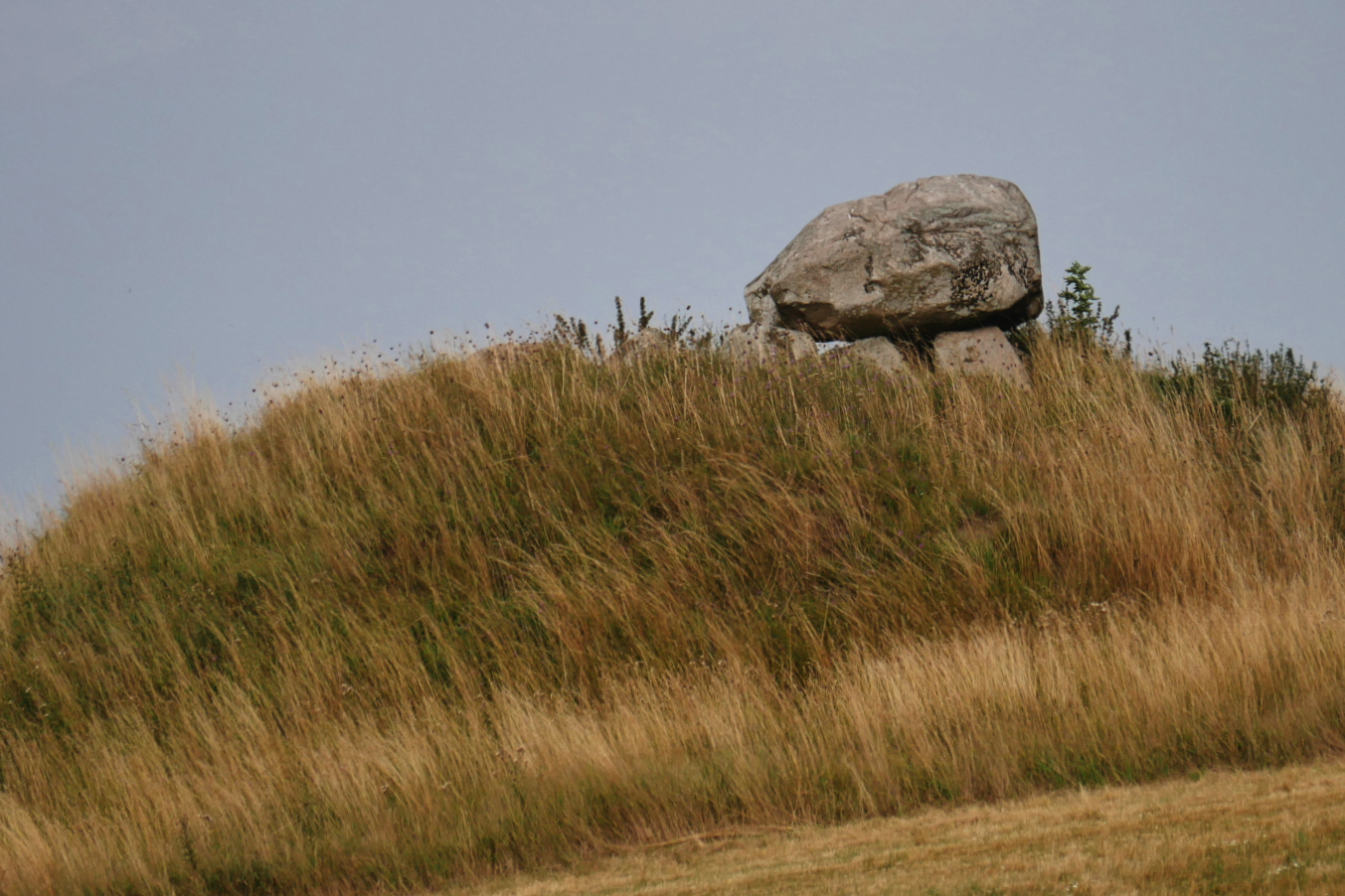
Samsø (Anglicized: "Samso" or "Samsoe") is a Danish island in the Kattegat off the Jutland Peninsula. Samsø is located in Samsø municipality. The community has 3,724 inhabitants (2017) (January 2010:4,010) called ''Samsings'' and is 114 km² in area. Due to its central location, the island was used during the Viking Age as a meeting place. The etymology of the island's name is unknown. In 1997, Samsø won a government competition to become a model renewable energy community. Now 100% of its electricity comes from wind power and biomass. Etymology The name Samsø is of unknown origin. The name is known from 1075 as ''Samse''. This word is a simplex and the addition of -, Danish for 'island', is thus a later compounding, known in toponymy as ''epexegesis''. Geography Ballen's beach and village are popular with visitors. The island is served by a bus service which runs around the island, including the two ferry terminals in Sælvig and Ballen. In clear weather, th ... [...More Info...] [...Related Items...] OR: [Wikipedia] [Google] [Baidu] |
Samsø Municipality
Samsø Municipality is a municipality (Danish: '' kommune'') in Region of Central Denmark. Samsø municipality covers an area of 115 km2 in the Kattegat sea, between the Danish mainland of Jutland and Zealand and comprises the island of Samsø as well as a number of small surrounding islands. The mayor has since 2014 been Marcel Meijer, a member of the Social Democrats (Danish: ''Socialdemokraterne'') political party. The seat of the municipal council is the town of Tranebjerg. Ferry services connect the town of Sælvig to the town of Hov in Odder Municipality as well as Aarhus, and the town of Ballen connects to the city of Kalundborg on Zealand. To the east is the strait of Samsø Bælt, separating Samsø from Zealand. Samsø Municipality was not merged with any adjacent municipality under the municipal reform of 2007, as it agreed to enter into a "municipal cooperation agreement" with Aarhus Municipality and limited cooperation with Odder Municipality. The municipa ... [...More Info...] [...Related Items...] OR: [Wikipedia] [Google] [Baidu] |
Tranebjerg
Tranebjerg is a town, situated at the centre of the South Island of Samsø in Denmark. It is the largest town on Samsø and also the municipal seat of Samsø Municipality. Tranebjerg is an old town, with a big village church from the 14th century and was once home to Brattingsborg Castle, a royal castle that burned down in the year 1289. Of the more modern facilities the town is home to a tourist office and an Ecomuseum. At the Ecomuseum, restored old buildings like an active oldfashioned smallholding, a skipper-farmhouse, a blacksmith and a grain mill amongst others, exposes the connection between Samsø's landscape, culture and inhabitants through the ages which includes an exhibition of the islands Stone Age past, traced to about 9.000 BC. History Tranebjerg is first mentioned in 1424 as ''Tranberg'', but has been inhabited long before that. Tranebjerg was the location of a castle, Brattingsborg Castle, in the 1100s-1200s. The castle was burned down by Stig Andersen Hvide i ... [...More Info...] [...Related Items...] OR: [Wikipedia] [Google] [Baidu] |
Kattegat
The Kattegat (; sv, Kattegatt ) is a sea area bounded by the Jutlandic peninsula in the west, the Danish Straits islands of Denmark and the Baltic Sea to the south and the provinces of Bohuslän, Västergötland, Halland and Skåne in Sweden in the east. The Baltic Sea drains into the Kattegat through the Danish Straits. The sea area is a continuation of the Skagerrak and may be seen as a bay of the North Sea, but in traditional Scandinavian usage, this is not the case. The Kattegat is a rather shallow sea and can be very difficult and dangerous to navigate because of the many sandy and stony reefs and tricky currents, which often shift. In modern times, artificial seabed channels have been dug, many reefs have been dredged by either sand pumping or stone fishing, and a well-developed light signaling network has been installed, to safeguard the very heavy international traffic of this small sea. There are several large cities and major ports in the Kattegat, including, in d ... [...More Info...] [...Related Items...] OR: [Wikipedia] [Google] [Baidu] |
Central Denmark Region
The Central Denmark Region ( da, Region Midtjylland), or more directly translated as the Central Jutland Region and sometimes simply Mid Jutland, is an administrative region of Denmark established on 1 January 2007 as part of the 2007 Danish municipal reform. The reform abolished the traditional counties (''amter'') and replaced them with five new administrative regions. At the same time, smaller municipalities were merged into larger units, cutting the total number of municipalities from 271 to 98. The reform diminished the power of the regional level dramatically in favour of the local level and the national government in Copenhagen. The Central Denmark Region comprises 19 municipalities. Toponymy The Danish name of the region means "Region of Mid Jutland" and describes the location in the central part of the Jutland peninsula, in contrast to Northern Jutland and Southern Jutland (which, together with Funen and some smaller islands, forms the Region of Southern Denmark). For ... [...More Info...] [...Related Items...] OR: [Wikipedia] [Google] [Baidu] |
Tunø
Tunø is a Danish island in the Kattegat, approximately 4 km west of the neighbouring island of Samsø. The island covers an area of , has a circumference of and has total of 66 inhabitants as of November 2022. It comes under the administration of Odder municipality. Tunø By is the only village on the island, with the hamlet of Løkkegårde as the second most populated area. Tunø harbour, lies a little east of the town of Tunø By, and is protected by 2 piers. The marina here has room for approximately 170 boats. From the harbour there is a daily ferry service to and from the town of Hou, Jutland. Until 2020 every summer Tunø hosted Tunø Festival, a popular music festival attracting Danish and international artists alike. In 2016, Tunø Festival enjoyed its 30th anniversary. Tunø church Tunø church was most likely built in the 14th century in a Romanesque style, however it has undergone many refurbishments and now stands as a Gothic church with stepped gables or c ... [...More Info...] [...Related Items...] OR: [Wikipedia] [Google] [Baidu] |
List Of Municipalities Of Denmark
This is a list of current Municipalities of Denmark. The number of municipalities was reduced from 270 to the current 98 on Monday January 1, 2007. The archipelago of Ertholmene is not part of any municipality or region but is administered by the Ministry of Defence. Area of municipalities includes water, which can make up a significant part of the total area of a municipality, i.e. Furesø and Halsnæs. Used for various statistical and administrative purposes. See also * Municipalities of Denmark * List of municipalities of Denmark (1970–2006) * List of urban areas in Denmark by population * List of the most populated municipalities in the Nordic countries External links Populations as of 2012-01-01Areas in sq.kmEniro map with 98 named municipalitiesPrintable map of municipalities (Krak) [...More Info...] [...Related Items...] OR: [Wikipedia] [Google] [Baidu] |
Jutland Peninsula
Jutland ( da, Jylland ; german: Jütland ; ang, Ēota land ), known anciently as the Cimbric or Cimbrian Peninsula ( la, Cimbricus Chersonesus; da, den Kimbriske Halvø, links=no or ; german: Kimbrische Halbinsel, links=no), is a peninsula of Northern Europe that forms the continental portion of Denmark and part of northern Germany. The names are derived from the Jutes and the Cimbri, respectively. As with the rest of Denmark, Jutland's terrain is flat, with a slightly elevated ridge down the central parts and relatively hilly terrains in the east. West Jutland is characterised by open lands, heaths, plains, and peat bogs, while East Jutland is more fertile with lakes and lush forests. Southwest Jutland is characterised by the Wadden Sea, a large unique international coastal region stretching through Denmark, Germany, and the Netherlands. Geography Jutland is a peninsula bounded by the North Sea to the west, the Skagerrak to the north, the Kattegat and Baltic Sea to the eas ... [...More Info...] [...Related Items...] OR: [Wikipedia] [Google] [Baidu] |
Skagen
Skagen () is Denmark's northernmost town, on the east coast of the Skagen Odde peninsula in the far north of Jutland, part of Frederikshavn Municipality in Nordjylland, north of Frederikshavn and northeast of Aalborg. The Port of Skagen is Denmark's main fishing port and it also has a thriving tourist industry, attracting 2 million people annually. The name was applied originally to the peninsula but it now also refers to the town. The settlement began during the Middle Ages as a fishing village, renowned for its herring industry. Thanks to its seascapes, fishermen and evening light, towards the end of the 19th century it became popular with a group of impressionist artists now known as the Skagen Painters. In 1879, the Skagen Fishermen's Association was established with the purpose of facilitating the local fishing industry through the Skagensbanen railway, which opened as a narrow-gauged railway in 1890. The modern port of Skagen opened on 20 November 1907, an ... [...More Info...] [...Related Items...] OR: [Wikipedia] [Google] [Baidu] |
Grenen
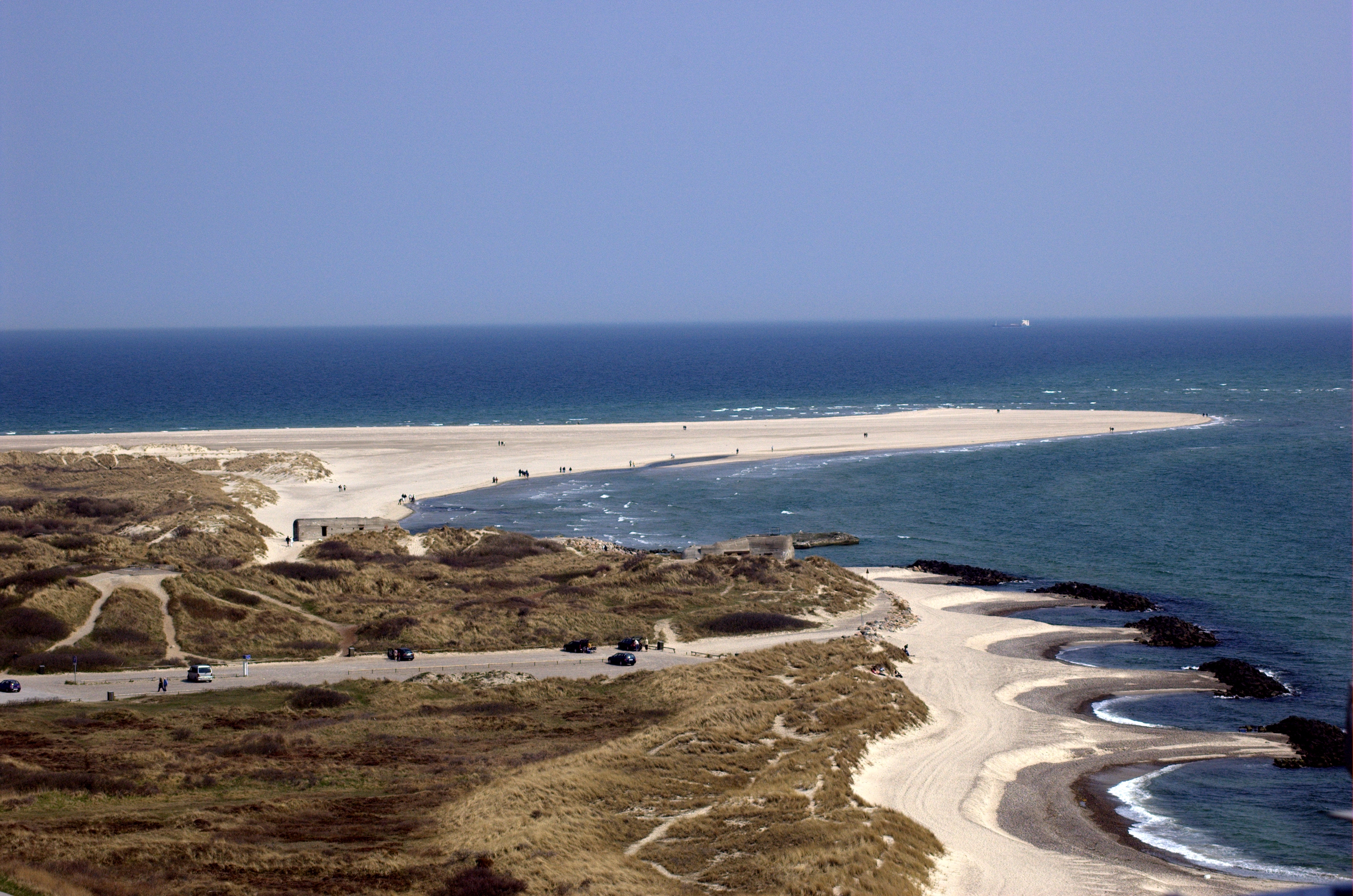
Grenen is a long sandbar spit at Skagen Odde (the headland of Jutland), north of the town of Skagen. Overview ''Grenen'' (The Branch) was named for its shape like a tree-branch, reaching out from the mainland. The beach of Grenen appears in many of the works of the Skagen Painters, a community that gathered there every summer between 1875 and the end of the 19th century. The area is also home to the Skagen Odde Nature Centre, designed by Jørn Utzon. Near the tip of the spit are two small museums: Skagen Bunker Museum and Grenens Kunstmuseum. Danish national road 40 terminates at Grenen, and it is one of the most popular tourist destinations in the country, with approximately 2 million visitors each year. Nature Grenen marks the junction between the strait of Skagerrak (part of the North Sea) and the Kattegat sea, and the turbulent colliding seas have created a 4-km long curved sandbar above and below the waves stretching east. The reef is still active and has grown abo ... [...More Info...] [...Related Items...] OR: [Wikipedia] [Google] [Baidu] |
Conifer
Conifers are a group of cone-bearing seed plants, a subset of gymnosperms. Scientifically, they make up the division Pinophyta (), also known as Coniferophyta () or Coniferae. The division contains a single extant class, Pinopsida. All extant conifers are perennial woody plants with secondary growth. The great majority are trees, though a few are shrubs. Examples include cedars, Douglas-firs, cypresses, firs, junipers, kauri, larches, pines, hemlocks, redwoods, spruces, and yews.Campbell, Reece, "Phylum Coniferophyta". Biology. 7th. 2005. Print. P. 595 As of 1998, the division Pinophyta was estimated to contain eight families, 68 genera, and 629 living species. Although the total number of species is relatively small, conifers are ecologically important. They are the dominant plants over large areas of land, most notably the taiga of the Northern Hemisphere, but also in similar cool climates in mountains further south. Boreal conifers have many wintertime ada ... [...More Info...] [...Related Items...] OR: [Wikipedia] [Google] [Baidu] |
Christmas Tree
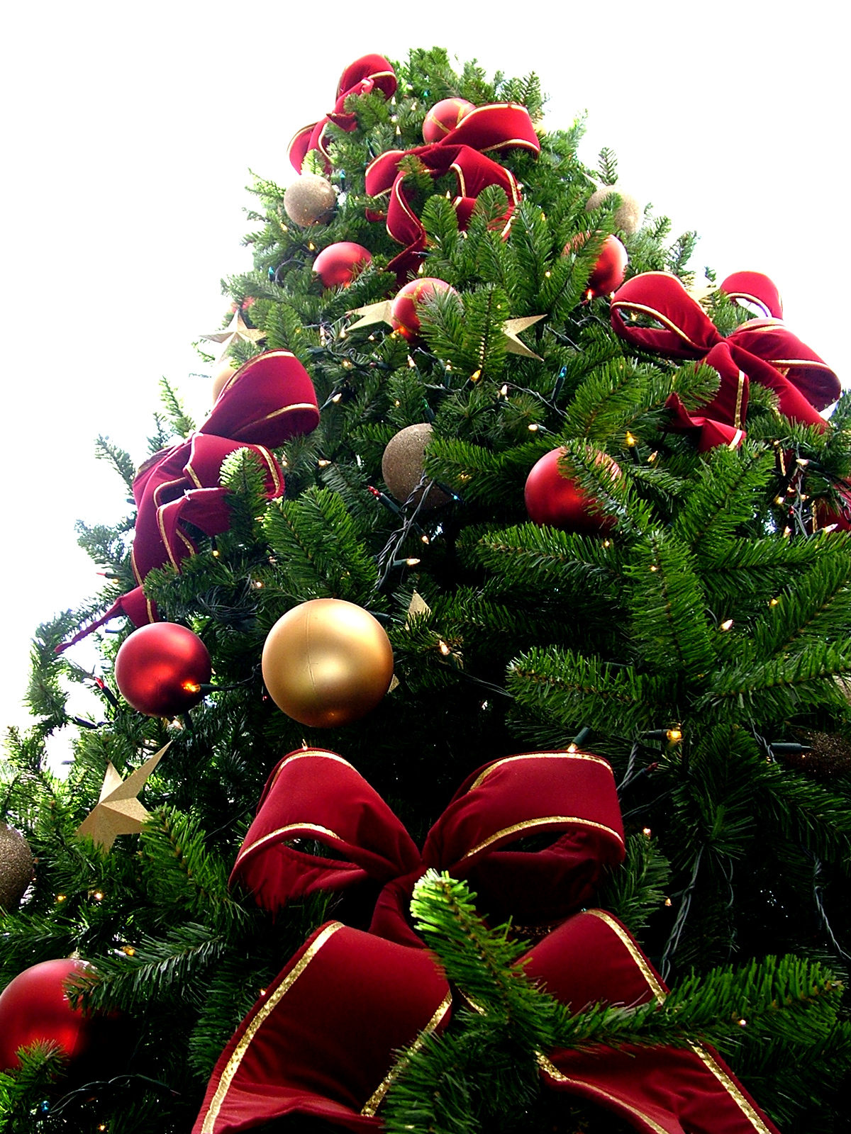
A Christmas tree is a decorated tree, usually an evergreen conifer, such as a spruce, pine or fir, or an artificial tree of similar appearance, associated with the celebration of Christmas. The custom was further developed in early modern Germany where German Protestant Christians brought decorated trees into their homes. It acquired popularity beyond the Lutheran areas of Germany and the Baltic governorates during the second half of the 19th century, at first among the upper classes. The tree was traditionally decorated with "roses made of colored paper, apples, wafers, tinsel, nd sweetmeats". Moravian Christians began to illuminate Christmas trees with candles, which were often replaced by Christmas lights after the advent of electrification. Today, there is a wide variety of traditional and modern ornaments, such as garlands, baubles, tinsel, and candy canes. An angel or star might be placed at the top of the tree to represent the Angel Gabriel or the Star of ... [...More Info...] [...Related Items...] OR: [Wikipedia] [Google] [Baidu] |


