|
Moradabad
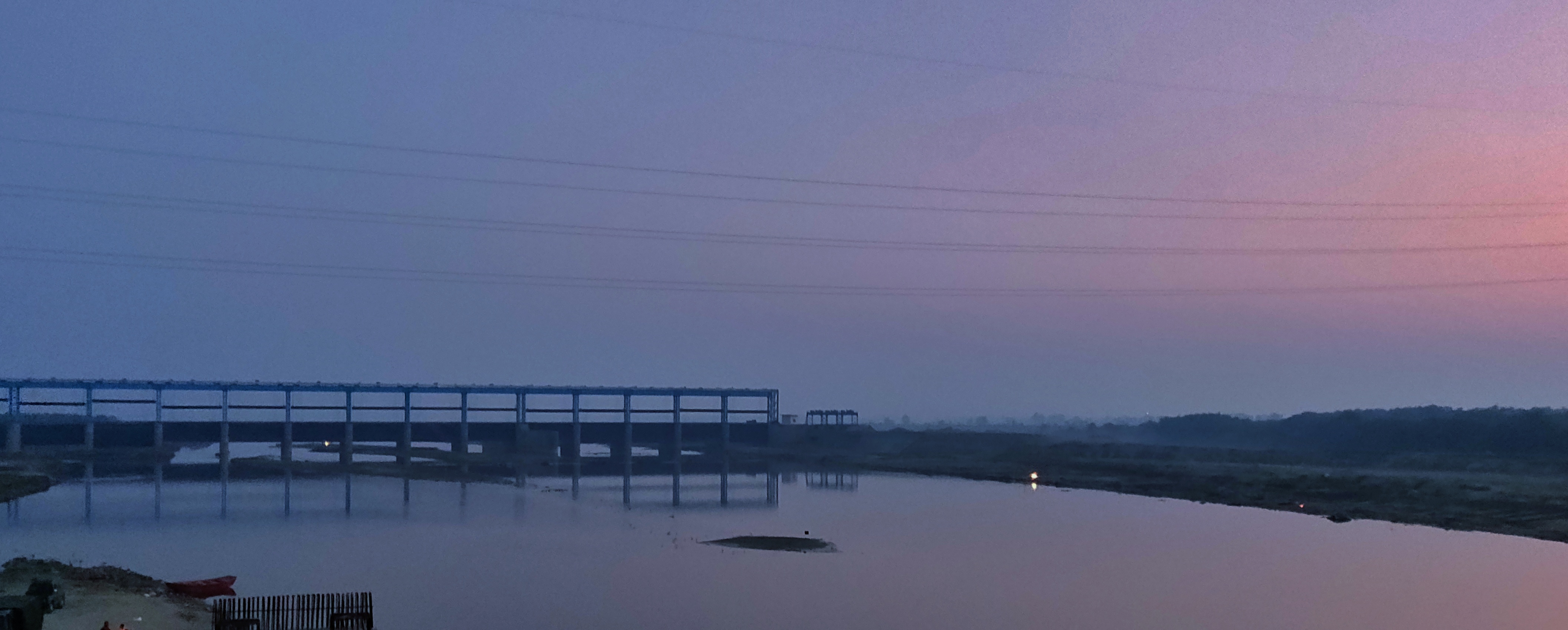
Moradabad () is a city, commissionary and municipal corporation in Moradabad district of Indian state of Uttar Pradesh. Moradabad is situated on the banks of the Ramganga river, at a distance of from the national capital, New Delhi and 344 km north-west of the state capital Lucknow. Founded by Rustam Khan, the governor of Katehar under the Mughal emperor Shahjahan, Moradabad is named after prince Murad Bakhsh, the youngest son of the emperor. Soon after its establishment, the city replaced Sambhal as the seat of the governor of Katehar. Moradabad was subsequently annexed into the Kingdom of Rohilkhand by Ali Mohammed Khan in 1740. The city came under the control of Oudh State in 1774 after the fall of Rohillas in the First Rohilla War and was then ceded to the British East India Company by the Nawab of Oudh in 1801. In the early nineteenth century, the Rohilkhand area was divided among the Rampur State and two districts - Bareilly and Moradabad; Moradabad becam ... [...More Info...] [...Related Items...] OR: [Wikipedia] [Google] [Baidu] |
Moradabad District
Moradabad district is one of the districts of Uttar Pradesh, India. Moradabad is the district headquarters. Moradabad district is a part of Moradabad division. It is used to be the second most populous district of Uttar Pradesh (out of 75), after Prayagraj till a new district Sambhal was carved out of it in 2011. The district of Moradabad lies between 28°21´ to 28°16´ north latitude and 78°4´ to 79° east longitude. Demographics According to the 2011 census Moradabad district has a population of 4,772,006, roughly equal to the nation of Singapore or the US state of Alabama. This gives it a ranking of 26th in India (out of a total of 640). The district has a population density of . Its population growth rate over the decade 2001-2011 was 25.25%. The residual Moradabad district has a population of 3,126,507. Moradabad has a sex ratio of 903 females for every 1000 males, and a literacy rate of 58.67%. Scheduled Castes make up 436,149 (13.95%) of the population. Rel ... [...More Info...] [...Related Items...] OR: [Wikipedia] [Google] [Baidu] |
Ramganga
Ramganga is a tributary of the river Ganges, originating in Uttarakhand state, India. Ramganga West Ramganga West River originates from Dudhatoli or Doodhatoli ranges Course The Ramganga River originates in the southern slopes of Dudhatoli Hill in Chamoli district of the Indian state of Uttarakhand. The source of the river, known as "Diwali Khal", is located in Gairsain tehsil at . The river flows by the town of Gairsain, however the town is located at a much higher altitude than the river. The river then enters the Almora district of Kumaon through a deep and narrow valley in Chaukhutia tehsil. Emerging from there, it turns southwest and receives the Tadagatal River, wandering widely around the southeastern boundary of Lohabagarhi. It then proceeds further in the same direction and reaches Ganai, where it receives the Kharogad coming from Dunagiri from the left and Khetasargad coming from Pandnakhal from the right. Coming out of Ganai, it flows towards the Talla Giwar re ... [...More Info...] [...Related Items...] OR: [Wikipedia] [Google] [Baidu] |
Katehar
Rohilkhand (previously Rampur State) is a region in the northwestern part of Uttar Pradesh, India, that is centered on the Rampur, Bareilly and Moradabad divisions. It is part of the upper Ganges Plain, and is named after the Rohilla tribe. The region was called Madhyadesh and Panchala in the Sanskrit epics ''Mahabharata'' and ''Ramayana''. Etymology ''Rohilkhand'' means "the land of the Rohilla". The term ''Rohilla'' first became common in the 17th century, with ''Rohilla'' used to refer to the people coming from the land of Roh, which was originally a geographical term that corresponded with the territory from Swat and Bajaur in the north to Sibi in the south, and from Hasan Abdal (Attock) in the east to Kabul and Kandahar in the west. A majority of the Rohillas migrated from Pashtunistan to North India between the 17th and 18th centuries. Geography Rohilkhand lies on the upper Ganges alluvial plain and has an area of about (in and around the Bareilly and Moradabad ... [...More Info...] [...Related Items...] OR: [Wikipedia] [Google] [Baidu] |
Rohilkhand
Rohilkhand (previously Rampur State) is a region in the northwestern part of Uttar Pradesh, India, that is centered on the Rampur, Bareilly and Moradabad divisions. It is part of the upper Ganges Plain, and is named after the Rohilla tribe. The region was called Madhyadesh and Panchala in the Sanskrit epics ''Mahabharata'' and ''Ramayana''. Etymology ''Rohilkhand'' means "the land of the Rohilla". The term ''Rohilla'' first became common in the 17th century, with ''Rohilla'' used to refer to the people coming from the land of Roh, which was originally a geographical term that corresponded with the territory from Swat and Bajaur in the north to Sibi in the south, and from Hasan Abdal (Attock) in the east to Kabul and Kandahar in the west. A majority of the Rohillas migrated from Pashtunistan to North India between the 17th and 18th centuries. Geography Rohilkhand lies on the upper Ganges alluvial plain and has an area of about (in and around the Bareilly and Moradab ... [...More Info...] [...Related Items...] OR: [Wikipedia] [Google] [Baidu] |
Uttar Pradesh
Uttar Pradesh (; , 'Northern Province') is a state in northern India. With over 200 million inhabitants, it is the most populated state in India as well as the most populous country subdivision in the world. It was established in 1950 after India had become a republic. It was a successor to the United Provinces (UP) during the period of the Dominion of India (1947–1950), which in turn was a successor to the United Provinces (UP) established in 1935, and eventually of the United Provinces of Agra and Oudh established in 1902 during the British Raj. The state is divided into 18 divisions and 75 districts, with the state capital being Lucknow, and Prayagraj serving as the judicial capital. On 9 November 2000, a new state, Uttaranchal (now Uttarakhand), was created from Uttar Pradesh's western Himalayan hill region. The two major rivers of the state, the Ganges and its tributary Yamuna, meet at the Triveni Sangam in Prayagraj, a Hindu pilgrimage site. Ot ... [...More Info...] [...Related Items...] OR: [Wikipedia] [Google] [Baidu] |
Sambhal
Sambhal is a city located in the Sambhal district of Uttar Pradesh state in India. The city lies approximately 158 kilometres (98 mi) east of New Delhi and 355 kilometres (220 mi) north-west of state capital Lucknow. History Sambhal has been an urban center for hundreds of years. It was a prominent town during the medieval period. The painting shown here is a folio from the Baburnama, and depicts an award ceremony in Sultan Ibrahim Lodi's court before an expedition to Sambhal in the early 16th century. Sambhal is said to have flourished under the rule of Akbar but subsequently deteriorated in popularity when Akbar's grandson Shah Jahan was made in charge of the city, and the capital of the province was shifted to Moradabad. Demographics As per provisional reports of the 2011 Census of India, the population of Sambhal city in 2011 was 221,334, of which 116,008 were male and 105,326 were female. Total literates in Sambhal city are 92,608 of which 51,382 are males while ... [...More Info...] [...Related Items...] OR: [Wikipedia] [Google] [Baidu] |
List Of Districts Of India
A district ('' zila'') is an administrative division of an Indian state or territory. In some cases, districts are further subdivided into sub-divisions, and in others directly into ''tehsils'' or ''talukas''. , there are a total of 766 districts, up from the 640 in the 2011 Census of India and the 593 recorded in the 2001 Census of India. District officials include: * District Magistrate or Deputy Commissioner or District Collector, an officer of the Indian Administrative Service, in charge of administration and revenue collection *Superintendent of Police or Senior Superintendent of Police or Deputy Commissioner of Police, an officer belonging to the Indian Police Service, responsible for maintaining law and order *Deputy Conservator of Forests, an officer belonging to the Indian Forest Service, entrusted with the management of the forests, environment and wildlife of the district Each of these officials is aided by officers from the appropriate branch of the state g ... [...More Info...] [...Related Items...] OR: [Wikipedia] [Google] [Baidu] |
Ali Mohammed Khan
Ali Muhammad Khan (bf. 1714 – 15 September 1748) was a Rohilla chief who succeeded his foster father Sardar Daud Khan Rohilla at the age of fourteen. He eventually went on to found the Kingdom of Rohilkhand in the northwestern region of the Uttar Pradesh state of India and was generally regarded as non-oppressive ruler to the masses. He was well regarded for his political ability, and was granted the right to use India's highest insignia of the Mahseer by the Emperor Muhammad Shah. His young death along with the tender age of his children led to Hafiz Rehmat Khan's regency which was in large part governed against his wishes, despite Rehmat Khan's solemn oath on the Quran to fulfil dying Ali Mohammad's will. On his death the disenfranchisement and neglect of his sons by Rehmat Khan caused one son, Allah Yar Khan to die of consumption, and another son Murtaza Khan to leave for Secunderabad where he too would eventually die. Ancestry Ali Muhammad Khan was among the prisoner ... [...More Info...] [...Related Items...] OR: [Wikipedia] [Google] [Baidu] |
Kingdom Of Rohilkhand
The Kingdom of Rohilkhand was a powerful Indian State, nominally under Mughal Suzerainty, that arose under the declining Mughal Empire in 1721 and continued to exist until 1774 when annexation by the British transformed its significantly reduced borders into the Princely State of Rampur. Nawab Ali Mohammed Khan, a scion of the ancient Barha Dynasty became the first Nawab of Rohilkhand, having been previously elected as overlord by various Afghan Chiefs at the age of fourteen . He would carve out the future kingdom from the collapsing Mughal Empire and go on to the found the Rohilla Dynasty . The crown would go on being held by the Rohillas until the kingdom came to an end in 1774, and thereafter the same dynasty would rule over Rampur. Most of Rohilkhand's borders were established by Ali Mohammed Khan and largely came into existence as a check to the power of Oudh State and in that capacity, Nawab Ali Mohammed was supported by the Wazir al Mulk, Qamarudin Khan. Nonetheless, ... [...More Info...] [...Related Items...] OR: [Wikipedia] [Google] [Baidu] |
Murad Bakhsh
Muhammad Murad Bakhsh ( fa, ), (9 October 1624 – 14 December 1661) was a Mughal prince and the youngest surviving son of Mughal Emperor Shah Jahan and Empress Mumtaz Mahal. He was the Subedar of Balkh, till he was replaced by his elder brother Aurangzeb in the year 1647. Family Muhammad Murad Bakhsh was born on 9 October 1624, at the Rohtasgarh Fort in Bihar, as the sixth and youngest surviving son of Emperor Shah Jahan and his wife, Mumtaz Mahal. Murad's siblings included his two politically powerful sisters, the princesses Jahanara Begum and Roshanara Begum, as well as the heir-apparent to his father, his eldest brother, Crown Prince Dara Shikoh and the future Mughal Emperor Aurangzeb. Personal life In 1638, Murad Bakhsh, at the age of fourteen years, married the Safavid princess, Sakina Banu Begum, daughter of Shah Nawaz Khan Safavi. She was the younger sister of his elder sister-in-law, Dilras Banu Begum, who was Aurangzeb's wife. Governorship He was appoint ... [...More Info...] [...Related Items...] OR: [Wikipedia] [Google] [Baidu] |
Oudh State
The Oudh State (, also Kingdom of Awadh, Kingdom of Oudh, or Awadh State) was a princely state in the Awadh region of North India until its annexation by the British in 1856. The name Oudh, now obsolete, was once the anglicized name of the state, also written historically as Oudhe. As the Mughal Empire declined and decentralized, local governors in Oudh began asserting greater autonomy, and eventually Oudh matured into an independent polity governing the fertile lands of the Central and Lower Doab. With the British East India Company entering Bengal and decisively defeating Oudh at the Battle of Buxar in 1764, Oudh fell into the British orbit. The capital of Oudh was in Faizabad, but the Company’s Political Agents, officially known as "Residents", had their seat in Lucknow. At par existed a Maratha embassy, in the Oudh court, led by the Vakil of the Peshwa, until the Second Anglo-Maratha War. The Nawab of Oudh, one of the richest princes, paid for and erected a Res ... [...More Info...] [...Related Items...] OR: [Wikipedia] [Google] [Baidu] |


