|
Great Central Road
The Great Central Road is a mostly unsealed Australian outback highway that runs from Laverton, Western Australia to Yulara, Northern Territory (near Uluru / Ayers Rock). It passes through a number of small communities on the way. History The Great Central Road has its origins in the early 1930s when Warburton was established as a missionary settlement, and supplies were delivered from Laverton via a rough bush track. By the mid 1950s, the track from Laverton had become graded dirt. In 1958 during survey for the Gunbarrel Highway as part of the Woomera rocket range project, Len Beadell visited Warburton and built a new road from Giles via the Rawlinson Range to Warburton. At Jackie Junction north of Warburton, the Gunbarrel Highway branched from this road towards Carnegie Station further west. Beadell returned to Giles via a different bush track which passed east through the Blackstone Range towards Docker River. In January 1978 funds were provided to Warburton counci ... [...More Info...] [...Related Items...] OR: [Wikipedia] [Google] [Baidu] |
Laverton, Western Australia
Laverton, originally known as British Flag, is a town in the Goldfields region of Western Australia, and the centre of administration for the Shire of Laverton. The town of Laverton is located at the western edge of the Great Victoria Desert, north-northeast of the state capital, Perth, and east-northeast of the town of Leonora, with an elevation of . About 20% of the population is of Aboriginal descent. The area is semi-arid, with a mean annual rainfall of . It is also quite warm, with mean daily maximum temperatures ranging from 17 °C (62 °F) in July to 36 °C (97 °F) in January. Laverton is the westernmost town on the Outback Waya proposed highway which goes through the Northern Territory to Winton in outback Queensland. History A number of early explorers travelled over the Laverton area, including John Forrest, David Carnegie and Frank Hann. Gold was discovered in the British Flag area in 1896 and many prospectors and miners moved into the area ... [...More Info...] [...Related Items...] OR: [Wikipedia] [Google] [Baidu] |
Four Wheel Drive
Four-wheel drive, also called 4×4 ("four by four") or 4WD, refers to a two-axled vehicle drivetrain capable of providing torque to all of its wheels simultaneously. It may be full-time or on-demand, and is typically linked via a transfer case providing an additional output drive shaft and, in many instances, additional gear ranges. A four-wheel drive vehicle with torque supplied to both axles is described as "all-wheel drive" (AWD). However, "four-wheel drive" typically refers to a set of specific components and functions, and intended off-road application, which generally complies with modern use of the terminology. Definitions Four-wheel-drive systems were developed in many different markets and used in many different vehicle platforms. There is no universally accepted set of terminology that describes the various architectures and functions. The terms used by various manufacturers often reflect marketing rather than engineering considerations or significant technical di ... [...More Info...] [...Related Items...] OR: [Wikipedia] [Google] [Baidu] |
Ngalia (Western Desert)
The Ngalia, or Ngalea, are an Aboriginal Australian people of the Western Desert cultural bloc resident in land extending from Western Australia to the west of South Australia. They are not to be confused with the Ngalia of the Northern Territory. Country The Ngalia's traditional lands are around the salt lake areas, such as the Serpentine Lakes in the Great Victoria Desert, northwest of Ooldea, South Australia, in what is now the Mamungari Conservation Park. Norman Tindale estimated their tribal lands as covering an extension of some . Language The Ngalia language, also known as Ooldean, is a dialect of the Western Desert language. Alternative names * ''Nangga'' ('men' in the sense that they had undergone circumcision) * ''Nanggaranggu'' * ''Nanggarangku'' (Pitjantjatjara exonym An endonym (from Greek: , 'inner' + , 'name'; also known as autonym) is a common, ''native'' name for a geographical place, group of people, individual person, language or dialect, meani ... [...More Info...] [...Related Items...] OR: [Wikipedia] [Google] [Baidu] |
Feral Camels In Australia
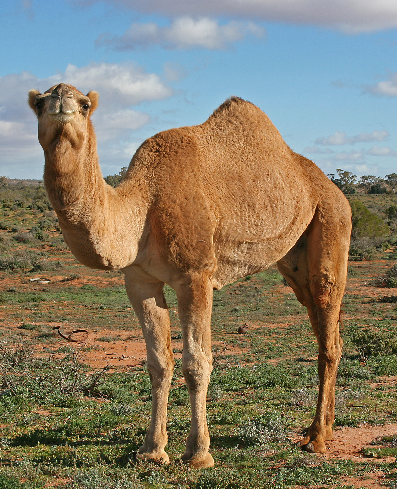
Australian feral camels are feral populations of dromedaries (''Camelus dromedarius'') in Australia. Imported from British India and Afghanistan during the 19th century for transport and construction during the colonisation of the central and western parts of Australia, many were released into the wild after motorised transport replaced the use of camels in the early 20th century, resulting in a fast-growing feral population. By 2008, it was ncorrectlyfeared that Central Australia's feral camel population had grown to about one million and was projected to double every 8 to 10 years. Camels are known to cause serious degradation of local environmental and cultural sites, particularly during dry conditions. Pastoralists, representatives from the Central Land Council, and Aboriginal land holders in the relevant areas were those amongst the complainants. An AU$19 million culling program was funded in 2009, and by 2013 a total of 160,000 camels were slaughtered, estimating the f ... [...More Info...] [...Related Items...] OR: [Wikipedia] [Google] [Baidu] |
Kangaroo
Kangaroos are four marsupials from the family Macropodidae (macropods, meaning "large foot"). In common use the term is used to describe the largest species from this family, the red kangaroo, as well as the antilopine kangaroo, eastern grey kangaroo, and western grey kangaroo. Kangaroos are indigenous to Australia and New Guinea. The Australian government estimates that 42.8 million kangaroos lived within the commercial harvest areas of Australia in 2019, down from 53.2 million in 2013. As with the terms " wallaroo" and " wallaby", "kangaroo" refers to a paraphyletic grouping of species. All three terms refer to members of the same taxonomic family, Macropodidae, and are distinguished according to size. The largest species in the family are called "kangaroos" and the smallest are generally called "wallabies". The term "wallaroos" refers to species of an intermediate size. There are also the tree-kangaroos, another type of macropod, which inhabit the trop ... [...More Info...] [...Related Items...] OR: [Wikipedia] [Google] [Baidu] |
Dingo
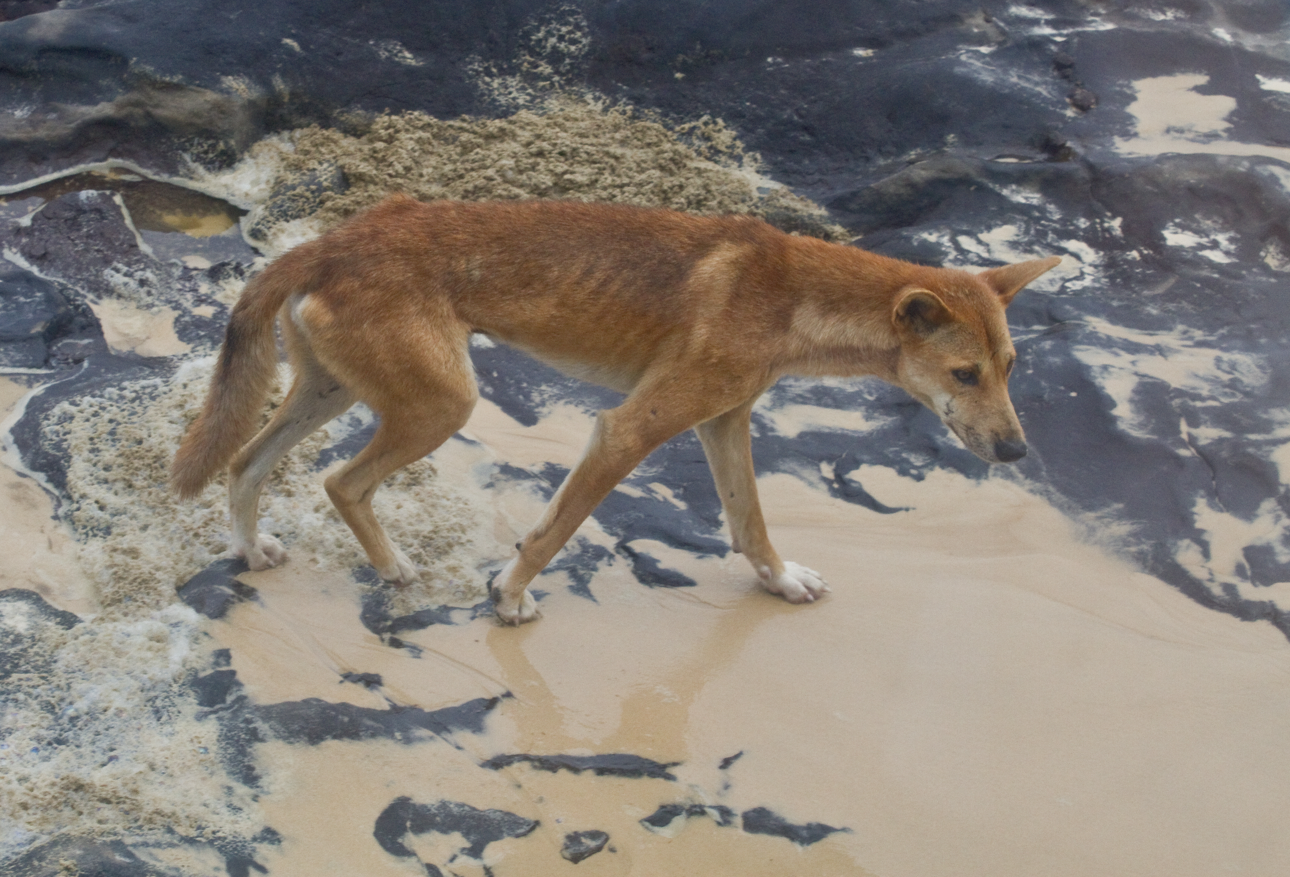
The dingo (''Canis familiaris'', ''Canis familiaris dingo'', ''Canis dingo'', or ''Canis lupus dingo'') is an ancient ( basal) lineage of dog found in Australia. Its taxonomic classification is debated as indicated by the variety of scientific names presently applied in different publications. It is variously considered a form of domestic dog not warranting recognition as a subspecies, a subspecies of dog or wolf, or a full species in its own right. The dingo is a medium-sized canine that possesses a lean, hardy body adapted for speed, agility, and stamina. The dingo's three main coat colourations are light ginger or tan, black and tan, or creamy white. The skull is wedge-shaped and appears large in proportion to the body. The dingo is closely related to the New Guinea singing dog: their lineage split early from the lineage that led to today's domestic dogs, and can be traced back through the Maritime Southeast Asia to Asia. The earliest known dingo fossil, found in Weste ... [...More Info...] [...Related Items...] OR: [Wikipedia] [Google] [Baidu] |
Rockhole
A panhole is a depression or basin eroded into flat or gently sloping cohesive rock.Twidale, C.R., and Bourne, J.A., 2018''Rock basins (gnammas) revisited. ''Géomorphologie: Relief, Processus, Environnement, Articles sous presse, Varia, mis en ligne le 08 janvier 2018, consulté le 01 juillet 2018. Similar terms for this feature are gnamma or rock holes (Australia), armchair hollows, weathering pans (or pits) and solution pans (or pits).Hughes, Kebbi A., 2012''Bacterial Communities and their Influence on the Formation and Development of Potholes in Sandstone Surfaces of the Semi-Arid Colorado Plateau''University of Western Ontario - Electronic Thesis and Dissertation Repository. Paper 543. Some authors refer to panholes also as potholes, which is a term typically used for similarly shaped riverine landforms. In fluvial geomorphology, the term ''pothole'' is typically used for a smooth, bowl-shaped or cylindrical hollow, generally deeper than wide, found developed in the rocky be ... [...More Info...] [...Related Items...] OR: [Wikipedia] [Google] [Baidu] |
Kata Tjuṯa
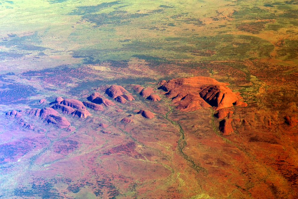
Kata Tjuṯa / The Olgas (Pitjantjatjara: , lit. 'many heads'; ) is a group of large, domed rock formations or bornhardts located about southwest of Alice Springs, in the southern part of the Northern Territory, central Australia. Uluṟu / Ayers Rock, located to the east, and Kata Tjuṯa / The Olgas form the two major landmarks within the Uluṟu-Kata Tjuṯa National Park. The park is considered sacred to the Aboriginal people of Australia. The 36 domes that make up Kata Tjuṯa / Mount Olga cover an area of are composed of conglomerate, a sedimentary rock consisting of cobbles and boulders of varying rock types including granite and basalt, cemented by a matrix of coarse sandstone. The highest dome, Mount Olga, is above sea level, or approximately above the surrounding plain higher than Uluṟu). [...More Info...] [...Related Items...] OR: [Wikipedia] [Google] [Baidu] |
Northern Australia Roads Program
Northern Australia Roads Program is a suite of projects designed to deliver upgrades to high priority roads in northern Australia. In 2016 the Australian Government announced 19 projects to be funded under this program, and in 2020 another was added. This program is separate to the Northern Australia Beef Roads Program, also announced in 2016, which contains a further 18 projects. Funding and program status Funding by the Australian Government is up to 80% of total costs, with the remainder being met by state, territory and local governments. The initial funding allocation by the Australian Government was $600 million, most of which has now (in March 2022) been expended on the identified projects, most of which have been completed or are nearing completion. In the 2022 Federal Budget a further $380 million over four years was allocated for projects yet to be determined. Type of work The work undertaken includes bridge and culvert construction, road widening, sealing, overtaking ... [...More Info...] [...Related Items...] OR: [Wikipedia] [Google] [Baidu] |
Australian Aborigine
Aboriginal Australians are the various Indigenous peoples of the Australian mainland and many of its islands, such as Tasmania, Fraser Island, Hinchinbrook Island, the Tiwi Islands, and Groote Eylandt, but excluding the Torres Strait Islands. The term Indigenous Australians refers to Aboriginal Australians and Torres Strait Islanders collectively. It is generally used when both groups are included in the topic being addressed. Torres Strait Islanders are ethnically and culturally distinct, despite extensive cultural exchange with some of the Aboriginal groups. The Torres Strait Islands are mostly part of Queensland but have a separate governmental status. Aboriginal Australians comprise many distinct peoples who have developed across Australia for over 50,000 years. These peoples have a broadly shared, though complex, genetic history, but only in the last 200 years have they been defined and started to self-identify as a single group. Australian Aboriginal identity has ch ... [...More Info...] [...Related Items...] OR: [Wikipedia] [Google] [Baidu] |
Tjukayirla Roadhouse, Western Australia
Tjukayirla Roadhouse (commonly pronounced "Chook-a–year-la") is a remote roadhouse on the Great Central Road in Western Australia. It is located in the Shire of Laverton and operated by the Papulankutja (Blackstone) Community, one of the founding members of the Ngaanyatjarra Council. The roadhouse offers various styles of accommodation, including twin-share rooms, self-contatined units, and a powered campground with facilities for caravans and tents. The name of the roadhouse derives from the Tjukayirla rockholes, which are located at the southwest end of the campground. Nearby attractions include the marker erected by surveyors Harry L. Paine and Hugh C. Barclay in 1931 on their expedition to the Warburton Ranges Warburton or Warburton Ranges is an Aboriginal Australian community in Western Australia, just to the south of the Gibson Desert and located on the Great Central Road (part of the Outback Way) and Gunbarrel Highway. At the , Warburton had a popu ..., known a ... [...More Info...] [...Related Items...] OR: [Wikipedia] [Google] [Baidu] |


