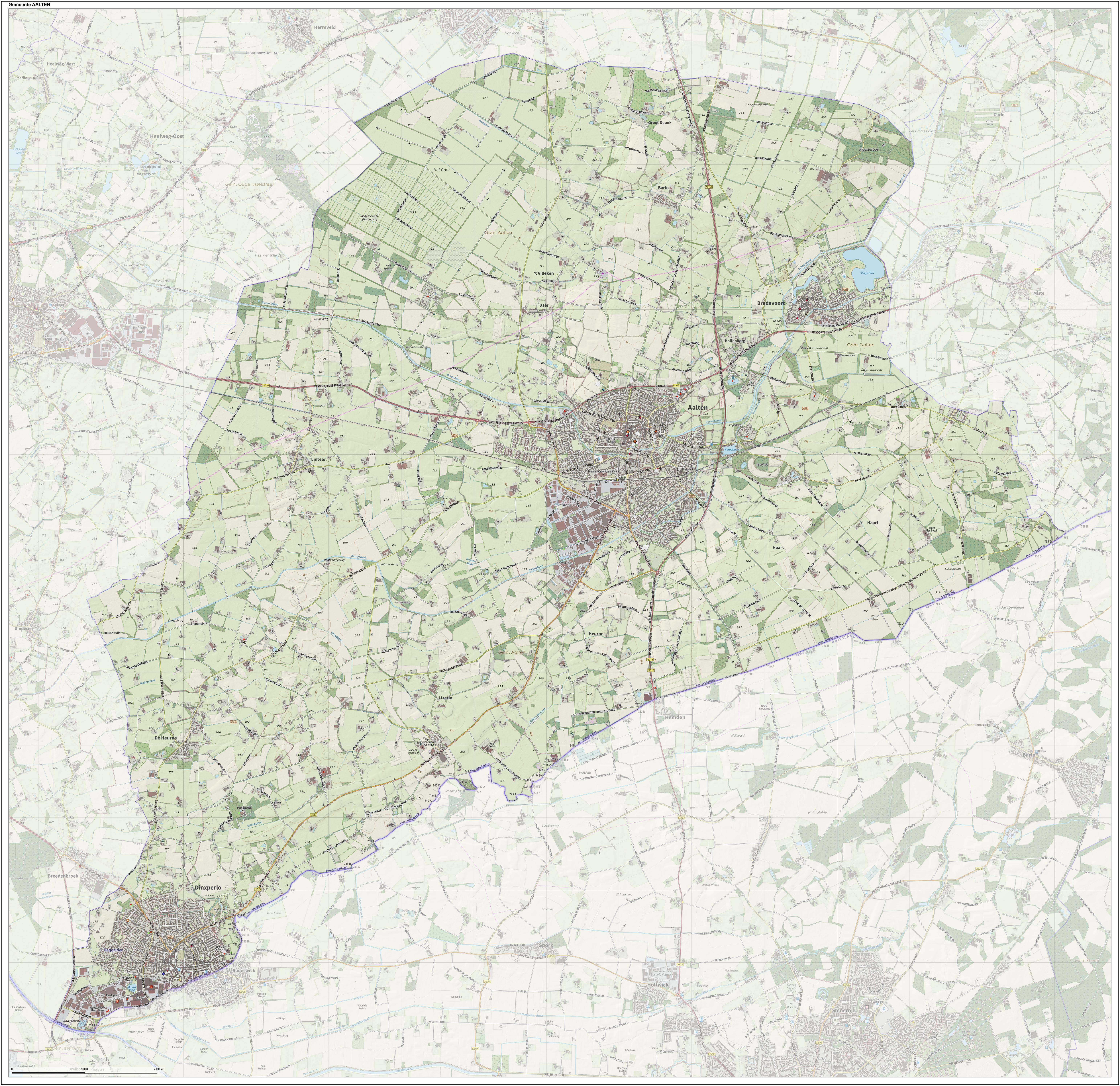
|
Dinxperlo
Dinxperlo (; Dutch Low Saxon: ) is a town and former municipality in the eastern Netherlands (Achterhoek region), situated directly at the Germany-Netherlands border. Since 1 January 2005, Dinxperlo has been part of the municipality of Aalten. Before 2005, Dinxperlo was a separate municipality, covering the town of Dinxperlo itself and the village of De Heurne. The name of the village probably is derived from ''dingspel'' ( justice court or area) and ''loo'' (wood). A popular explanation is that in the Middle Ages there was a court in the woods here. Dinxperlo used to have a coat of arms depicting Lady Justice. Attractions One of the town's main attractions is the Netherlands' smallest church (Kerkje "De Rietstap"). Another is a border museum (''Grenslandmuseum''). Transportation The nearest train stations are Aalten railway station and Terborg railway station, with train service operated by Arriva every half-hour. Bus number 40 connects Dinxperlo to Terborg station and bus ... [...More Info...] [...Related Items...] OR: [Wikipedia] [Google] [Baidu] |
Suderwick
Suderwick is a village in the city of Bocholt, Kreis Borken in the German State of North Rhine-Westphalia. Suderwick is situated at the Germany-Netherlands border and forms one urban area with Dinxperlo, a town in Aalten municipality of Gelderland province of the Netherlands. One street in Dinxperlo, ''Heelweg'', is partly German. The road itself lies in the Netherlands, but one side of the housing zone is in Suderwick, so in Germany (where it is called ''Hellweg''). Suderwick might be translated as "southern area". Also, the villages house a shared Dutch-German police station. Besides Dutch and German, at both sides of the border a common dialect is spoken, which is a variety of Low Saxon. Just after the Second World War, Suderwick was annexed Annexation (Latin ''ad'', to, and ''nexus'', joining), in international law, is the forcible acquisition of one state's territory by another state, usually following military occupation of the territory. It is generally held to be ... [...More Info...] [...Related Items...] OR: [Wikipedia] [Google] [Baidu] |
Aalten
Aalten () is a municipality and a town in the eastern Netherlands. The former municipalities of Bredevoort (1818) and Dinxperlo (2005) have been merged with Aalten. Notable inhabitants of Aalten include Angus Young, guitarist of the Australian rock band AC/DC, and Robert Gesink, a professional road bicycle racer. During World War II, 51 of Aalten's 85 Jews were hidden by local non-Jews, and thereby survived the war. According to the War and Resistance Museum in Aalten, the village had the highest number of people in hiding during World War II. The village of approximately 13,000 residents hid some 2,500 people.http://www.marline.nl/verzet.html 'Marline: de infozine v/d Achterhoek' Population centres Transportation Aalten railway station serves Aalten and the surrounding area. There is a half-hourly service between Arnhem and Winterswijk, which stops at this station. Arnhem railway station has services to Amsterdam, Amsterdam Airport, Utrecht, Nijmegen, 's-Hertogenb ... [...More Info...] [...Related Items...] OR: [Wikipedia] [Google] [Baidu] |
De Heurne
De Heurne is a village in the municipality of Aalten, near Dinxperlo (Achterhoek region), Province of Gelderland, in the east of the Netherlands. The village was first mentioned in 1841 as "Beggelder en Heurne", and means "means bent f a hill. In 1840, it was home to 1,216 people. In 1822, the grist mill ''Teunismolen'' was built in De Heurne. The village has a Protestant church and a school. Between 1904 and 1935, De Heurne had its own train station, on the Varsseveld - Dinxperlo railway line. Although the railway service was discontinued in the 1960s and the station was closed, the original building is still there. Revenues in the village are mainly from the agricultural sector. In recent years it has shifted towards tourism. Around 1950, the village counted more than ten small grocery shops, however these have all now closed. Nowadays the inhabitants do their shopping mostly in surrounding towns and villages. To avoid confusion with Heurne Heurne is a hamlet in the munic ... [...More Info...] [...Related Items...] OR: [Wikipedia] [Google] [Baidu] |
Aalten Railway Station
Aalten is a railway station located in Aalten, Netherlands. The station is on the Winterswijk–Zevenaar railway and the station opened on 15 July 1885. The building began construction in 1884 and was finished in 1885. It was rebuilt in 1919 and has since remained unaltered. It was briefly closed from 15-8-1945 until 20-10-1945. The service is now operated by Arriva Arriva plc is a British multinational public transport company headquartered in Sunderland, England.NS website [...More Info...] [...Related Items...] OR: [Wikipedia] [Google] [Baidu] |
Terborg Railway Station
Terborg is a railway station in Terborg, Netherlands. The station was opened on 15 July 1885 and is located on the Winterswijk–Zevenaar railway. The train services are operated by Arriva Arriva plc is a British multinational public transport company headquartered in Sunderland, England.NS website Dutch Public Transport journey planner [...More Info...] [...Related Items...] OR: [Wikipedia] [Google] [Baidu] |
Dutch Low Saxon
Dutch Low Saxon ( or ''Nederlaands Nedersaksies''; nl, Nederlands Nedersaksisch) are the Low Saxon dialects of the Low German language that are spoken in the northeastern Netherlands and are written there with local, unstandardised orthographies based on Standard Dutch orthography. The UNESCO Atlas of endangered languages lists the language as vulnerable. The percentage of speakers among parents dropped from 34% in 1995 to 15% in 2011. The percentage of speakers among their children dropped from 8% to 2% in the same period. According to a 2005 study 53% speaks Low Saxon or Low Saxon and Dutch at home and 71% could speak it in the researched area. The Netherlands recognizes Dutch Low Saxon as an official regional language under the European Charter for Regional or Minority Languages. Classification The classification of Dutch Low Saxon is not unanimous. From a diachronic point of view, the Dutch Low Saxon dialects are merely the West Low German (Northern Low Saxon and Friso- ... [...More Info...] [...Related Items...] OR: [Wikipedia] [Google] [Baidu] |
Dutch Annexation Of German Territory After The Second World War
At the end of World War II, plans were made in the Netherlands to annex German territory as compensation for the damages caused by the war. In October 1945, the Dutch state asked Germany for 25 billion guilders in reparations. In February 1945 it had already been established at the Yalta Conference that reparations would not be given in monetary form. The plan which was worked out in most detail was the one made by , and hence became known as the Bakker Schut Plan or Groot Nederland Plan. In its most ambitious form, this plan included the cities of Cologne, Aachen, Münster and Osnabrück, and would have enlarged the country's European area by 30 to 50 percent. The local population had to be either deported, or, when still speaking the original Low German dialects, Dutchified. The plan was largely dropped after the U.S. rejected it. Eventually, an area of a total size of was allocated to the Netherlands. Almost all of this was returned to West Germany in 1963 after Germa ... [...More Info...] [...Related Items...] OR: [Wikipedia] [Google] [Baidu] |
Gelderland
Gelderland (), also known as Guelders () in English, is a province of the Netherlands, occupying the centre-east of the country. With a total area of of which is water, it is the largest province of the Netherlands by land area, and second by total area. Gelderland shares borders with six other provinces ( Flevoland, Limburg, North Brabant, Overijssel, South Holland and Utrecht) and the German state of North Rhine-Westphalia. The capital is Arnhem (pop. 159,265); however, Nijmegen (pop. 176,731) and Apeldoorn (pop. 162,445) are both larger municipalities. Other major regional centres in Gelderland are Ede, Doetinchem, Zutphen, Harderwijk, Tiel, Wageningen, Zevenaar, and Winterswijk. Gelderland had a population of 2,084,478 as of November 2019. It contains the Netherlands's largest forest region (the Veluwe), the Rhine and other major rivers, and a significant amount of orchards in the south ( Betuwe). History Historically, the province dates from states of th ... [...More Info...] [...Related Items...] OR: [Wikipedia] [Google] [Baidu] |
Borken (district)
Borken is a ''Kreis'' (district) in the northwestern part of North Rhine-Westphalia, Germany in the Münster region. Neighboring districts are Steinfurt, Coesfeld, Recklinghausen, Wesel, Cleves, Bentheim in the Lower Saxony and the Dutch provinces Gelderland and Overijssel. The two biggest cities are Bocholt and Gronau. History During the era of the Holy Roman Empire the area was subordinate to the Prince-Bishopric of Münster for centuries. In 1803 the bishops lost this territory, and the short-lived Principality of Salm was founded. After the Napoleonic Wars the region became a part of the Prussian province of Westphalia in 1815. At that time the district was created, together with the district Ahaus. In 1923 the city Bocholt left the district and became a district-free city. In 1975 the district got its current size by incorporating the district Ahaus, the city Bocholt and small parts of the districts Rees, Recklinghausen and Coesfeld Coesfeld (; Westphalian: ''Koosfel ... [...More Info...] [...Related Items...] OR: [Wikipedia] [Google] [Baidu] |
Border
Borders are usually defined as geographical boundaries, imposed either by features such as oceans and terrain, or by political entities such as governments, sovereign states, federated states, and other subnational entities. Political borders can be established through warfare, colonization, or mutual agreements between the political entities that reside in those areas; the creation of these agreements is called boundary delimitation. Some borders—such as most states' internal administrative borders, or inter-state borders within the Schengen Area—are open and completely unguarded. Most external political borders are partially or fully controlled, and may be crossed legally only at designated border checkpoints; adjacent border zones may also be controlled. Buffer zones may be setup on borders between belligerent entities to lower the risk of escalation. While ''border'' refers to the boundary itself, the area around the border is called the frontier. History In the ... [...More Info...] [...Related Items...] OR: [Wikipedia] [Google] [Baidu] |
Winterswijk
Winterswijk (; also known as ''Winterswiek'' or ''Wenters'') is a municipality and a town in the eastern Netherlands. It has a population of and is situated in the Achterhoek, which lies in the easternmost part of the province of Gelderland in the Netherlands. It was also known as ''Winethereswick'', ''Winriswic'' or ''Wenterswic''; the Anglo Saxon '' wich'' or ''wic'' means the living place of a certain person. The person would likely have been called ''Wenether'', ''Winitar'' or ''Winter''. Geography Winterswijk is located in east of the province of Gelderland in the east of the Netherlands. It is part of the region of Achterhoek The Achterhoek (; Dutch Low Saxon: ''Achterhook'') is a cultural region in the Eastern Netherlands. Its name (meaning "rear-corner") is geographically appropriate because the area lies in the easternmost part of the province of Gelderland and th .... History Founded around 1000 AD it remained an isolated farming community until 1830 when the ... [...More Info...] [...Related Items...] OR: [Wikipedia] [Google] [Baidu] |
Doetinchem
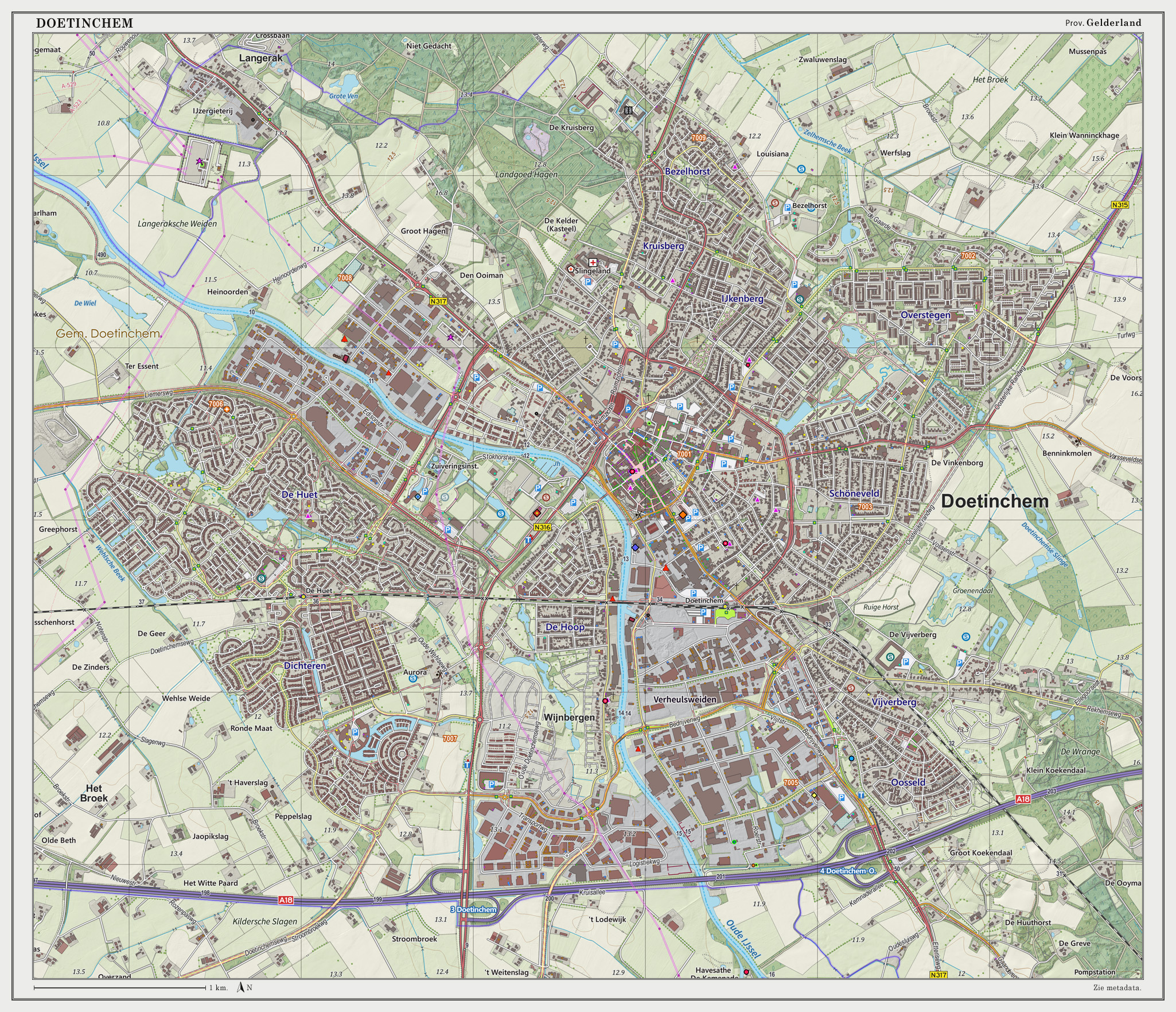
Doetinchem (; Low Saxon: ) is a city and municipality in the east of the Netherlands. It is situated along the Oude IJssel (Old IJssel) river in a part of the province of Gelderland called the Achterhoek. The municipality had a population of in and consists of an area of of which is water. This makes Doetinchem the largest town (by population) in the Achterhoek. On 1 January 2005, a municipal restructuring merged the neighbouring municipality of Wehl as well as the Zelhelmse Broek area with Doetinchem. Population centres The local government organization in the Netherlands is complex and fine-grained (see municipality and Govt Stats, with municipalities being divided into various entities. The municipality of Doetinchem consists of: The city ('stad'): * Doetinchem The neighborhoods ('wijken'): * Centrum * Bezelhorst * Dichteren * Overstegen * De Huet * De Hoop * Oosseld * Schöneveld & Muziekbuurt The townships ('buurtschappen'): * Gaanderen * Wehl * IJzevoorde ... [...More Info...] [...Related Items...] OR: [Wikipedia] [Google] [Baidu] |

.jpg)


