|
Camborne
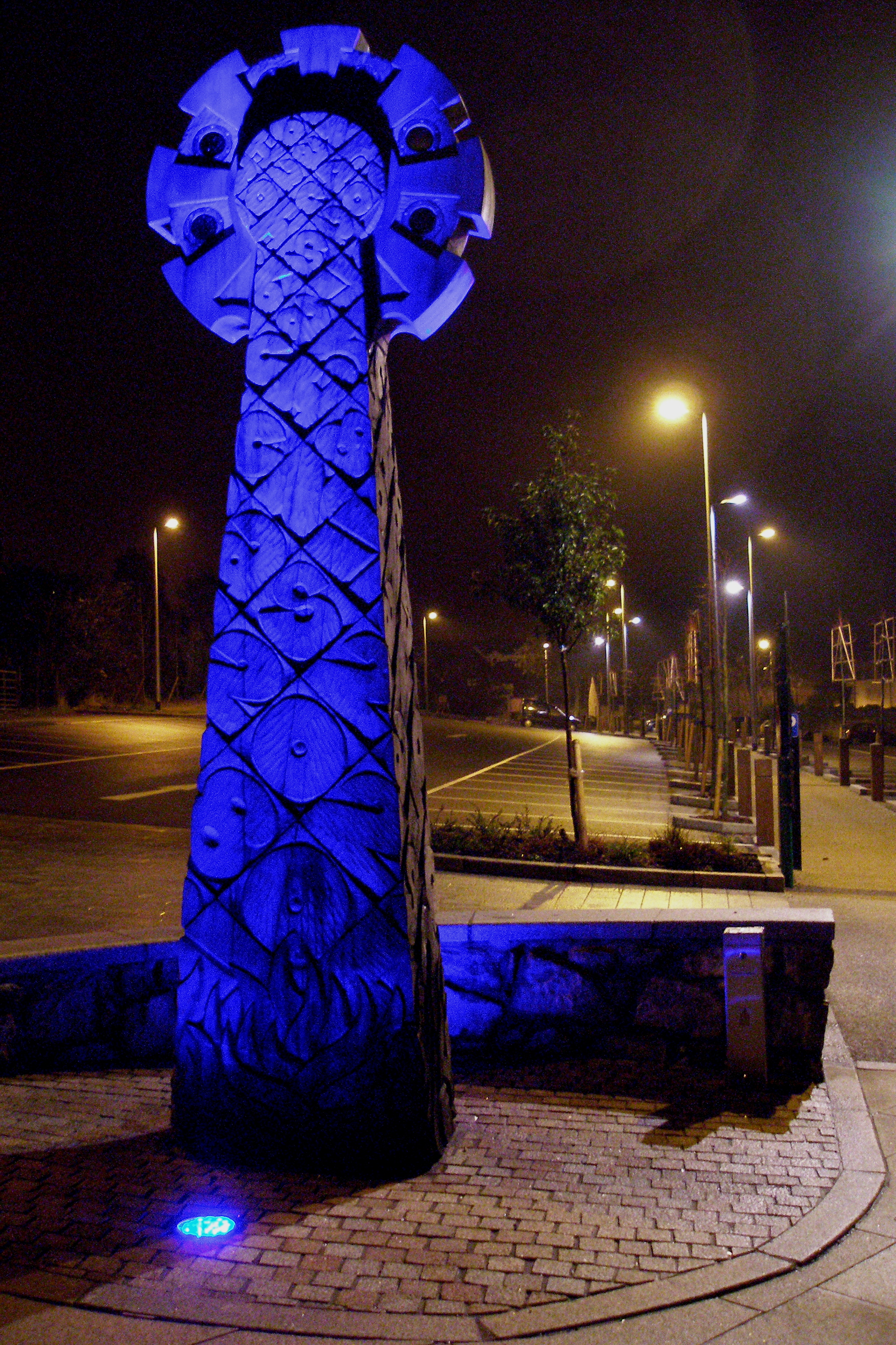
Camborne ( kw, Kammbronn) is a town in Cornwall, England. The population at the 2011 Census was 20,845. The northern edge of the parish includes a section of the South West Coast Path, Hell's Mouth and Deadman's Cove. Camborne was formerly one of the richest tin mining areas in the world and home to the Camborne School of Mines. Toponymy Craig Weatherhill explains Camborne thus: "''Cambron'' c. 1100 - 1816) Cambron, ?'crook-hill')" Kammbronn is Cornish for 'crooked hill'. The word 'kamm', crooked, is the same in the Breton language, and the Welsh, Gaelic and Irish Gaelic word is 'cam'. 'Hill' in Welsh is 'bryn'. Geography Camborne is in the western part of the largest urban and industrial area in Cornwall with the town of Redruth east. It is the ecclesiastical centre of a large civil parish and has a town council. Camborne-Redruth is on the northern side of the Carn Brea/ Carnmenellis granite upland which slopes northwards to the sea. The two towns are linked by th ... [...More Info...] [...Related Items...] OR: [Wikipedia] [Google] [Baidu] |
Camborne School Of Mines
The Camborne School of Mines ( kw, Scoll Balow Cambron), commonly abbreviated to CSM, was founded in 1888. Its research and teaching is related to the understanding and management of the Earth's natural processes, resources and the environment. It has undergraduate, postgraduate and research degree programmes within the Earth resources, civil engineering and environmental sectors. CSM is located at the Penryn Campus, near Falmouth, Cornwall, UK. The school merged with the University of Exeter in 1993. Reputation The Camborne School of Mines has an international reputation in mining, tunnelling, mineralogy, mineral economics, geology, geophysics and geochemistry. CSM's international reputation dates back to the 19th century when with new deposits found around the world CSM graduates began to seek employment overseas and by the 20th century, graduates were in most of the world's major mining areas such as Southern Africa, Western Africa, Malaysia, Australia, South America, Mex ... [...More Info...] [...Related Items...] OR: [Wikipedia] [Google] [Baidu] |
Camborne And Redruth (UK Parliament Constituency)
Camborne and Redruth is a parliamentary constituency in the United Kingdom. The seat is in Cornwall on the South West Peninsula of England, and is currently represented by George Eustice, a Conservative who served as Environment Secretary between 2020 and 2022. History The constituency was created for the 2010 general election, primarily as the successor to Falmouth and Camborne, following a review of parliamentary representation in Cornwall by the Boundary Commission which increased the number of seats in the county from five to six. Constituency profile This is a large rural seat spanning both coasts of Cornwall where the Conservatives are strongest, but also the former mining towns of Hayle, Camborne and Redruth which are more Labour-leaning. Residents are less wealthy than the UK average.Electoral Calculus https://www.electoralcalculus.co.uk/fcgi-bin/seatdetails.py?seat=Camborne+and+Redruth Boundaries The District of Kerrier wards of Camborne North, Camborne South ... [...More Info...] [...Related Items...] OR: [Wikipedia] [Google] [Baidu] |
Redruth
Redruth ( , kw, Resrudh) is a town and civil parish in Cornwall, England. The population of Redruth was 14,018 at the 2011 census. In the same year the population of the Camborne-Redruth urban area, which also includes Carn Brea, Illogan and several satellite villages, stood at 55,400 making it the largest conurbation in Cornwall. Redruth lies approximately at the junction of the A393 and A3047 roads, on the route of the old London to Land's End trunk road (now the A30), and is approximately west of Truro, east of St Ives, north east of Penzance and north west of Falmouth. Camborne and Redruth together form the largest urban area in Cornwall and before local government reorganisation were an urban district. Toponymy The name Redruth derives from its older Cornish name, ''Rhyd-ruth''. It means Red Ford (literally fordred). The first syllable 'red' means ford. The second 'ruth' means red. ''Rhyd'' is the older form of 'Res', which is a Cornish equivalent to ... [...More Info...] [...Related Items...] OR: [Wikipedia] [Google] [Baidu] |
Mining In Cornwall And Devon
Mining in Cornwall and Devon, in the southwest of England, began in the early Bronze Age, around 2150 BC. Tin, and later copper, were the most commonly extracted metals. Some tin mining continued long after the mining of other metals had become unprofitable, but ended in the late 20th century. In 2021, it was announced that a new mine was extracting battery-grade lithium carbonate, more than 20 years after the closure of the last South Crofty tin mine in Cornwall in 1998. Historically, tin and copper as well as a few other metals (e.g. arsenic, silver, and zinc) have been mined in Cornwall and Devon. Tin deposits still exist in Cornwall, and there has been talk of reopening the South Crofty tin mine. In addition, work has begun on re-opening the Hemerdon tungsten and tin mine in south-west Devon. In view of the economic importance of mines and quarries, geological studies have been conducted; about forty distinct minerals have been identified from type localities in Cor ... [...More Info...] [...Related Items...] OR: [Wikipedia] [Google] [Baidu] |
Cornwall
Cornwall (; kw, Kernow ) is a historic county and ceremonial county in South West England. It is recognised as one of the Celtic nations, and is the homeland of the Cornish people. Cornwall is bordered to the north and west by the Atlantic Ocean, to the south by the English Channel, and to the east by the county of Devon, with the River Tamar forming the border between them. Cornwall forms the westernmost part of the South West Peninsula of the island of Great Britain. The southwesternmost point is Land's End and the southernmost Lizard Point. Cornwall has a population of and an area of . The county has been administered since 2009 by the unitary authority, Cornwall Council. The ceremonial county of Cornwall also includes the Isles of Scilly, which are administered separately. The administrative centre of Cornwall is Truro, its only city. Cornwall was formerly a Brythonic kingdom and subsequently a royal duchy. It is the cultural and ethnic origin of the Cornish diaspora ... [...More Info...] [...Related Items...] OR: [Wikipedia] [Google] [Baidu] |
Red River (Koner)
The Red River ( kw, Dowr Koner) is a small river in north-west Cornwall, United Kingdom which issues into St Ives Bay at Godrevy on Cornwall's Atlantic coast. The Red River is about long and was given its name from the mineral deposits associated with tin mining which formerly coloured its water red. The river's gradient is relatively steep; the stream falls from source to sea. Geography The Red River rises from springs near Bolenowe on the Carnmenellis granite batholith, an upland plateau. The river flows north, passing through a gorge in the granite ridge west of Carn Brea. Beyond the gorge, the river passes Tuckingmill, and Tuckingmill Valley Park, once a centre of mining and associated industries. At the hamlet of Combe, the Tehidy stream joins the Red River which then turns west towards Godrevy. Tin streaming The Red River's catchment area includes the major mining areas of Tuckingmill, Pool, and Camborne. Thus: The Red River catchment has been subjected to min ... [...More Info...] [...Related Items...] OR: [Wikipedia] [Google] [Baidu] |
St Meriadoc
Saint Meriasek ( br, Meriadeg) was a 6th-century Cornish and Breton saint. The legends of his life are known through ''Beunans Meriasek'', a Cornish language play known from a single surviving manuscript copy dated 1504, and a few other sources. He is the patron saint of Camborne, and according to his legendary will his feast day is the first Friday in June (although it is celebrated in some places on 7 June). Sources Until Beunans Ke (NLW MS 23849D) came to light very recently, Beunans Meriasek was the only known saint's play in Middle Cornish. It was rediscovered in the 1860s. It was most probably written down at Glasney collegiate church at Penryn, perhaps under the aegis of Master John Nans, provost of Glasney, who later moved to Camborne and died in 1508. Life Meriasek was a Breton"Beuna ... [...More Info...] [...Related Items...] OR: [Wikipedia] [Google] [Baidu] |
A30 (road)
The A30 is a major road in England, running WSW from London to Land's End. The road has been a principal axis in Britain from the 17th century to early 19th century, as a major coaching route. It used to provide the fastest route from London to the South West by land until a century before roads were numbered; nowadays much of this function is performed by the M3 (including A316) and A303 roads. The road has kept its principal status in the west from Honiton, Devon to Land's End where it is mainly dual carriageway and retains trunk road status. Route London to Honiton The A30 begins at Henlys Roundabout, where the route stems from the A4 near Hounslow. It crosses the A312 before running south of the Southern Perimeter Road, Heathrow Airport and north of Ashford and Staines-upon-Thames, before reaching the M25 motorway orbital motorway. This first section is entirely dual carriageway. Taken with the A4, its natural continuation which nearby becomes non-dualled towar ... [...More Info...] [...Related Items...] OR: [Wikipedia] [Google] [Baidu] |
Carn Brea, Redruth
Carn Brea ( kw, Karnbre) is a civil parish and hilltop site in Cornwall, England, United Kingdom. The population of Carn Brea including Bosleake and Church Coombe was 8,013 at the 2011 census. The hilltop site is situated approximately one mile (1.6 km) southwest of Redruth. The settlements of Bosleake, Brea, Broad Lane, Carn Arthen, Carn Brea Village, Carnkie, Four Lanes, Grillis, Illogan Highway, Pencoys, Penhallick, Piece, Pool, Tolskithy, Tregajorran, Treskillard, Tuckingmill and West Tolgus are in the parish. Neolithic settlement The Neolithic settlement at Carn Brea was a tor enclosure occupied between around 3700 and 3400 BC. Roger Mercer directed archaeological excavations of the site in 1970. https://cornisharchaeology.org.uk/volume-9-1970/ and 1972. https://cornisharchaeology.org.uk/volume-11-1972/ A two-acre (0.8 ha) inner enclosure was surrounded by one of eleven acres (4.5 ha). The ramparts consisted of stone walls with an earth bank an ... [...More Info...] [...Related Items...] OR: [Wikipedia] [Google] [Baidu] |
UK Met Office
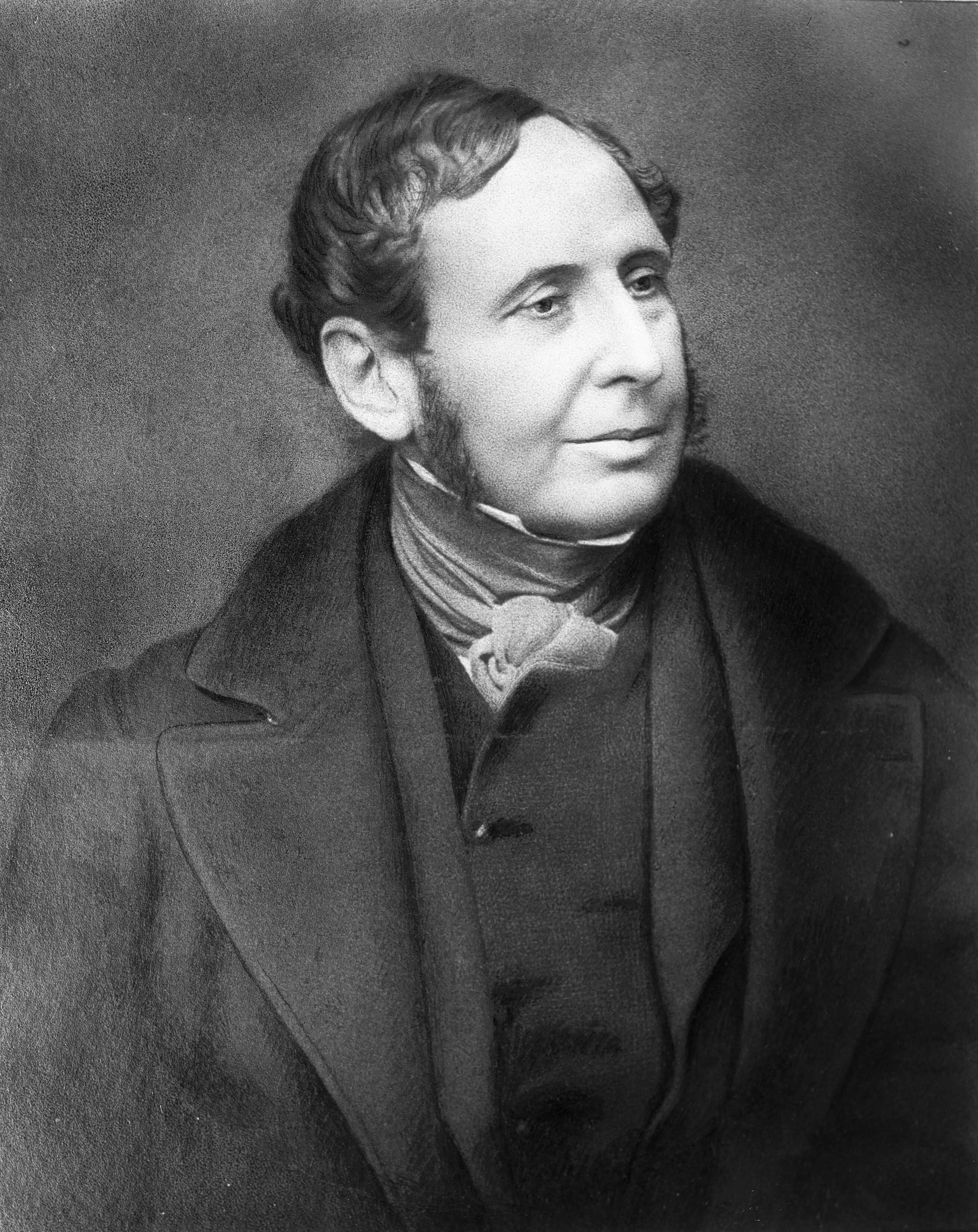
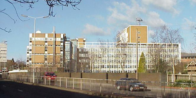
The Meteorological Office, abbreviated as the Met Office, is the United Kingdom's national weather service. It is an executive agency and trading fund of the Department for Business, Energy and Industrial Strategy and is led by CEO Penelope Endersby, who took on the role as Chief Executive in December 2018 and is the first woman to do so. The Met Office makes meteorological predictions across all timescales from weather forecasts to climate change. History The Met Office was established on 1 August 1854 as a small department within the Board of Trade under Vice Admiral Robert FitzRoy as a service to mariners. The loss of the passenger vessel, the ''Royal Charter'', and 459 lives off the coast of Anglesey in a violent storm in October 1859 led to the first gale warning service. FitzRoy established a network of 15 coastal stations from which visual gale warnings could be provided for ships at sea. The new electric telegraph enabled rapid dissemination of warnings and a ... [...More Info...] [...Related Items...] OR: [Wikipedia] [Google] [Baidu] |
Met Office
The Meteorological Office, abbreviated as the Met Office, is the United Kingdom's national weather service. It is an executive agency and trading fund of the Department for Business, Energy and Industrial Strategy and is led by CEO Penelope Endersby, who took on the role as Chief Executive in December 2018 and is the first woman to do so. The Met Office makes meteorological predictions across all timescales from weather forecasts to climate change. History The Met Office was established on 1 August 1854 as a small department within the Board of Trade under Vice Admiral Robert FitzRoy as a service to mariners. The loss of the passenger vessel, the ''Royal Charter'', and 459 lives off the coast of Anglesey in a violent storm in October 1859 led to the first gale warning service. FitzRoy established a network of 15 coastal stations from which visual gale warnings could be provided for ships at sea. The new electric telegraph enabled rapid dissemination of warnings an ... [...More Info...] [...Related Items...] OR: [Wikipedia] [Google] [Baidu] |
Carnmenellis
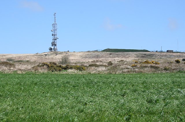
Carnmenellis Hill (or just Carnmenellis) gives its name to the area of west Cornwall in England, between Redruth, Helston and Penryn. The hill itself is situated approximately three miles (5 km) south of Redruth.Ordnance Survey: Landranger map sheet 203 ''Land's End'' It is one of five Marilyns in Cornwall; the others being Brown Willy (420 m), Kit Hill (334 m), Hensbarrow Beacon (312 m) and Watch Croft (252 m). The natural region of Carnmenellis has been designated as national character area 155 by Natural England. Penmarth, a nearby village, is sometimes referred to locally as Carnmenellis. The term 'Carnmenellis Granite' refers to the plateau of high ground in this area, one of five granite plutons in Cornwall that make up part of the Cornubian batholith (see also Geology of Cornwall). Carnmenellis was also the name of a former ecclesiastical parish created in 1846 from part of Wendron parish. Initially, the parish included the area which later became the pari ... [...More Info...] [...Related Items...] OR: [Wikipedia] [Google] [Baidu] |


