|
Briançon
Briançon (, ) is the sole subprefecture of the Hautes-Alpes department in the Provence-Alpes-Côte d'Azur region in Southeastern France. It is the highest city in France at an altitude of , based on the national definition as a community containing more than 2,000 inhabitants. Its most recent population estimate is 11,084 (as of 2018) for the commune. Briançon has been part of the Fortifications of Vauban UNESCO World Heritage Sites since they were established in 2008. History Briançon was the ''Brigantium'' of the Romans and formed part of the kingdom of King Cottius. Brigantium was marked as the first place in Gallia after Alpis Cottia ( Mont Genèvre). At Brigantium the road branched, to the west through Grenoble to ''Vienna'' (modern Vienne), on the Rhone; to the south through ''Ebrodunum'' (modern Embrun), to ''Vapincum'' (modern Gap). Both the Antonine Itinerary and the Table give the route from Brigantium to Vapincum. The Table places Brigantium 6 M.P. fr ... [...More Info...] [...Related Items...] OR: [Wikipedia] [Google] [Baidu] |
Canton Of Briançon-2
The Canton in France, canton of Briançon-2 (before March 2015: ''Briançon-Nord'') is an administrative division in southeastern France. It consists of the eastern part of the commune of Briançon (a larger part than in the former canton of Briançon-Nord) and its northeastern suburbs. It includes the following Commune in France, communes: *Briançon (partly) *Montgenèvre *Névache *Val-des-Prés Demographics See also *Cantons of the Hautes-Alpes department References Cantons of Hautes-Alpes {{HautesAlpes-geo-stub ... [...More Info...] [...Related Items...] OR: [Wikipedia] [Google] [Baidu] |
Hautes-Alpes
Hautes-Alpes (; oc, Auts Aups; en, Upper Alps) is a department in the Provence-Alpes-Côte d'Azur region of Southeastern France. It is located in the heart of the French Alps, after which it is named. Hautes-Alpes had a population of 141,220 as of 2019,Populations légales 2019: 05 Hautes-Alpes INSEE which makes it the third least populated French department. Its is Gap; its sole subprefecture is |
Provence-Alpes-Côte D'Azur
Provence-Alpes-Côte d'Azur (; or , ; commonly shortened to PACA; en, Provence-Alps-French Riviera, italic=yes; also branded as Région Sud) is one of the eighteen administrative regions of France, the far southeastern on the mainland. Its prefecture and largest city is Marseille. The region is roughly coterminous with the former French province of Provence, with the addition of the following adjacent areas: the former papal territory of Avignon, known as Comtat Venaissin; the former Sardinian-Piedmontese County of Nice annexed in 1860, whose coastline is known in English as the French Riviera and in French as the ''Côte d'Azur''; and the southeastern part of the former French province of Dauphiné, in the French Alps. Previously known by the acronym PACA, the region adopted the name ''Région Sud'' as a commercial name or nickname in December 2017. 5,007,977 people live in the region according to the 2015 census. It encompasses six departments in Southeastern France: ... [...More Info...] [...Related Items...] OR: [Wikipedia] [Google] [Baidu] |
Gap, Hautes-Alpes
Gap (, ) is the prefecture of the Hautes-Alpes department in the Provence-Alpes-Côte d'Azur region in Southeastern France. In 2019, the commune had a population of 40,631, making it the most populated city in Hautes-Alpes. At a height of 750 metres above sea level, to the south of the Écrins Massif, it is also France's highest prefecture. Together with other Alpine towns, Gap engages in the Alpine Town of the Year Association for the implementation of the Alpine Convention to achieve sustainable development in the Alpine Arc. Gap was awarded Alpine Town of the Year in 2002. In 2013 Gap was named the sportiest city in France by the national sports newspaper ''L'Équipe''. Toponymy The first attestation of the name of the city is located in the ancient texts as ''Vappincum'', later reduced to ''Vappum'', the form of Gap is found in the 13th century. The toponym ''Vappincum'' is analyzed on the basis of a radical ''Vapp-'' unknown meaning, and the suffix ''-incu'' of Liguri ... [...More Info...] [...Related Items...] OR: [Wikipedia] [Google] [Baidu] |
Canton Of Briançon-1
The canton of Briançon-1 is an administrative division of the Hautes-Alpes department, in southeastern France. It was created at the French canton reorganisation which came into effect in March 2015. Its seat is in Briançon. It consists of the following communes: #Briançon (partly) # Cervières #La Grave # Le Monêtier-les-Bains # Puy-Saint-André # Puy-Saint-Pierre #Saint-Chaffrey #La Salle-les-Alpes #Villar-d'Arêne Villar-d'Arêne (; oc, Vilars d'Arena) is a commune in the Hautes-Alpes department in southeastern France, between Grenoble and Briançon. It is in the French Alps, in Massif des Écrins. Near this village located in the Romanche valley, the ... # Villar-Saint-Pancrace References {{DEFAULTSORT:Briançon-1 Cantons of Hautes-Alpes ... [...More Info...] [...Related Items...] OR: [Wikipedia] [Google] [Baidu] |
Fortifications Of Vauban UNESCO World Heritage Sites
The Fortifications of Vauban is a UNESCO World Heritage Site made up of 12 groups of fortified buildings and sites along the borders of France. They were designed by renowned military architect Sébastien Le Prestre de Vauban (1633–1707) during the reign of King Louis XIV. These sites include a variety of fortifications, ranging from citadels, to mountain batteries and sea fortifications, to bastion walls and towers. In addition, the site includes cities built from scratch by Vauban and communication towers. These sites were chosen because they exemplify Vauban's work, bearing witness to the influence of his designs on military and civilian engineering on a global scale from the 17th century to the 20th century. The network of major sites of Vauban is an association of cities created on March 30, 2005 at the initiative of the city of Besançon. It includes the twelve sites which best represent the fortification system erected by Vauban. The application file was selected on Jan ... [...More Info...] [...Related Items...] OR: [Wikipedia] [Google] [Baidu] |
Susa, Italy
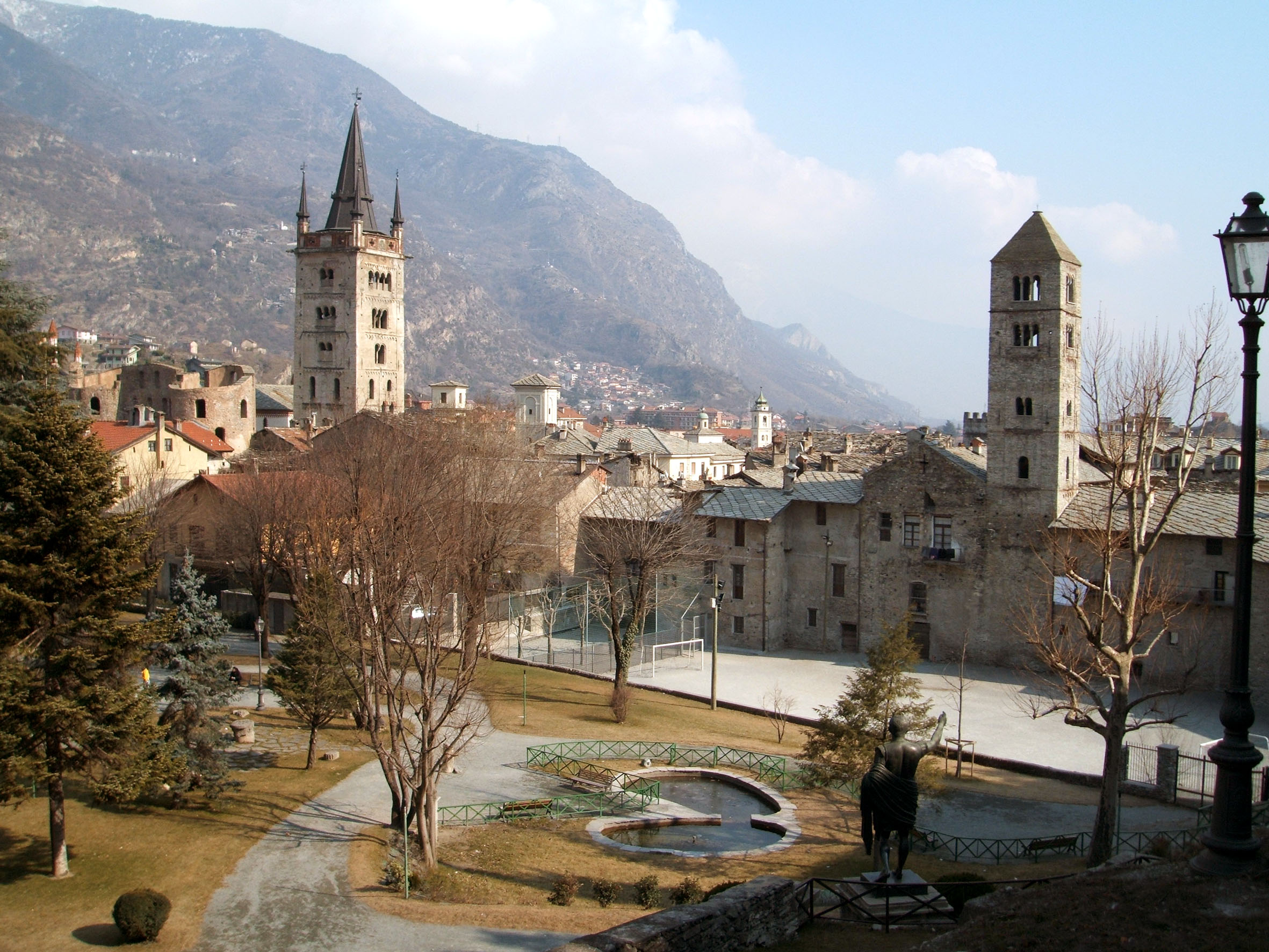
Susa ( lat, Segusio, french: Suse, frp, Suisa) is a town and '' comune'' in the Metropolitan City of Turin, Piedmont, Italy. In the middle of Susa Valley, it is situated on at the confluence of the Cenischia with the Dora Riparia, a tributary of the Po River, at the foot of the Cottian Alps, 51 km (32 mi) west of Turin. History Susa ( la, Segusio) was founded by the Ligures. It was the capital of the Segusini (also known as Cottii). In the late 1st century BC it became voluntarily part of the Roman Empire. Remains of the Roman city have been found in the excavations of the central square, the Piazza Savoia. Susa was the capital of the province of Alpes Cottiae. According to the medieval historian Rodulfus Glaber, Susa was "the oldest of Alpine towns". In the Middle and Modern ages, Susa remained important as a hub of roads connecting southern France to Italy. Taking part of the county or march of Turin (sometimes "march of Susa"). In 1167, Frederick I, Holy Roman ... [...More Info...] [...Related Items...] OR: [Wikipedia] [Google] [Baidu] |
Cottius
Marcus Julius Cottius was King of the Celtic and Ligurian inhabitants of the mountainous Roman province then known as '' Alpes Taurinae'' and now as the Cottian Alps early in the 1st century BC. Son and successor to King Donnus, he negotiated a dependent status with Emperor Augustus that preserved considerable autonomy for his country, making him a Roman governor, and adopted Roman citizenship. Early relationship with Rome The friendship between Cottius's realm and Rome goes back at least to the reign of his father King Donnus; there is numismatic evidence which suggests that Donnus established friendly relations with Julius Caesar. As Caesar needed to cross the Cottii Regnum in 58 BC on his way to Gaul, he made an agreement with King Donnus to have his troops transported on his road as well as having a new paved road being built.Cornwell, H., Alpine Reactions to Roman Power, in Varga, R., Rusu-Bolindeț, V., (eds) Official Power and Local Elites in the Roman Provinces, p. ... [...More Info...] [...Related Items...] OR: [Wikipedia] [Google] [Baidu] |
Embrun, Hautes-Alpes
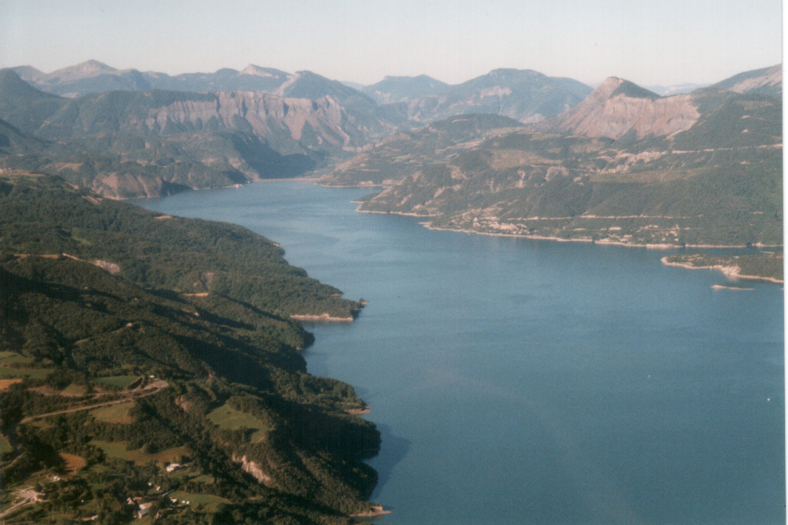
Embrun (; oc, Ambrun , la, Ebrodunum, , and ) is a commune in the Hautes-Alpes department in the Provence-Alpes-Côte d'Azur region in southeastern France. Description It is located between Gap and Briançon and at the eastern end of one of the largest artificial lakes in Western Europe: the Lac de Serre-Ponçon. The Canadian town of Embrun, Ontario was named after Embrun in 1856. History Embrun was formerly known as Ebrodunum ( in Greek language sources). There is some variation in the writing of the first part of the name. It is Epebrodunum in Strabo's text, but later translators corrected it. Strabo (iv.) says that from Tarasco to the borders of the Vocontii and the beginning of the ascent of the Alps, through the Druentia and Caballio, is 63 miles; and from thence to the other boundaries of the Vocontii, to the kingdom of Cottius (the Alpes Cottiae), to the village of Ebrodunum, 99 miles. Ebrodunum was in the ''civitas'' (tribal state) of the Caturiges, and j ... [...More Info...] [...Related Items...] OR: [Wikipedia] [Google] [Baidu] |
D'Anville
Jean-Baptiste Bourguignon d'Anville (; born in Paris 11 July 169728 January 1782) was a French geographer and cartographer who greatly improved the standards of map-making. D'Anville became cartographer to the king, who purchased his cartographic materials, the largest collection in France. He made more than 200 maps during his lifetime, which are characterized by a careful, accurate work largely based on original research. In particular, D'Anville left unknown areas of continents blank and noted doubtful information as such, contrary to the lavish maps of his predecessors. His maps remained the reference point in cartography throughout the 19th century and were used by numerous explorers and travellers. Biography Jean-Baptiste Bourguignon d'Anville was born in Paris on 11 July 1697, in the Kingdom of France. His passion for geographical research displayed itself from early years: at age of twelve he was already amusing himself by drawing maps for Latin authors. Later, his f ... [...More Info...] [...Related Items...] OR: [Wikipedia] [Google] [Baidu] |
Piedmont
it, Piemontese , population_note = , population_blank1_title = , population_blank1 = , demographics_type1 = , demographics1_footnotes = , demographics1_title1 = , demographics1_info1 = , demographics1_title2 = , demographics1_info2 = , demographics1_title3 = , demographics1_info3 = , timezone1 = CET , utc_offset1 = +1 , timezone1_DST = CEST , utc_offset1_DST = +2 , postal_code_type = , postal_code = , area_code_type = ISO 3166 code , area_code = IT-21 , blank_name_sec1 = GDP (nominal) , blank_info_sec1 = €137 billion (2018) , blank1_name_sec1 = GDP per capita , blank1_info_sec1 = €31,500 (2018) , blank2_name_sec1 = HDI (2019) , blank2_info_sec1 = 0.898 · 10th of 21 , blank_name_sec2 = NUTS Region , blank_info_sec2 = ITC1 , website www.region ... [...More Info...] [...Related Items...] OR: [Wikipedia] [Google] [Baidu] |
Augustus
Caesar Augustus (born Gaius Octavius; 23 September 63 BC – 19 August AD 14), also known as Octavian, was the first Roman emperor; he reigned from 27 BC until his death in AD 14. He is known for being the founder of the Roman Principate, which is the first phase of the Roman Empire, and Augustus is considered one of the greatest leaders in human history. The reign of Augustus initiated an imperial cult as well as an era associated with imperial peace, the '' Pax Romana'' or '' Pax Augusta''. The Roman world was largely free from large-scale conflict for more than two centuries despite continuous wars of imperial expansion on the empire's frontiers and the year-long civil war known as the "Year of the Four Emperors" over the imperial succession. Originally named Gaius Octavius, he was born into an old and wealthy equestrian branch of the plebeian ''gens'' Octavia. His maternal great-uncle Julius Caesar was assassinated in 44 BC, and Octavius was named in Cae ... [...More Info...] [...Related Items...] OR: [Wikipedia] [Google] [Baidu] |
.jpg)


