|
Boulevard
A boulevard is a type of broad avenue planted with rows of trees, or in parts of North America, any urban highway. Boulevards were originally circumferential roads following the line of former city walls. In American usage, boulevards may be wide, multi-lane arterial thoroughfares, often divided with a central median, and perhaps with side-streets along each side designed as slow travel and parking lanes and for bicycle and pedestrian usage, often with an above-average quality of landscaping and scenery. Etymology The word ''boulevard'' is borrowed from French. In French, it originally meant the flat surface of a rampart, and later a promenade taking the place of a demolished fortification. It is a borrowing from the Dutch word ' 'bulwark'. Usage world-wide Asia Cambodia Phnom Penh has numerous boulevards scattered throughout the city. Norodom Boulevard, Monivong Boulevard, Sihanouk Boulevard, and Kampuchea Krom Boulevard are the most famous. India *Bengaluru's M ... [...More Info...] [...Related Items...] OR: [Wikipedia] [Google] [Baidu] |
Norodom Boulevard
Norodom Boulevard ( km, មហាវិថីព្រះនរោត្តម), also called Street 41 ( km, ផ្លូវលេខ៤១, link=no), is a major boulevard in Cambodia and one of Phnom Penh's oldest arterial roads. It was named after King Norodom. It connects with Monivong Bridge in the south-east of the city at the Bassac River and joins with the north of the city at Wat Phnom. History During the French protectorate of Cambodia, it was called ''Boulevard Doudart de Lagrée,'' in honor of Ernest Doudart de Lagrée, the corvette captain is the architect of the transfer of the capital from Oudong to Phnom Penh. During the Khmer Rouge rule, the building of the Central Bank of Cambodia was blown up, and rebuilt in 1991 in its previous location on Norodom Boulevard (then still Tou Samouth Boulevard). In July 1988, as the Vietnamese commanders left Phnom Penh, Khmer citizens holding small Vietnamese and Cambodian flags sat on the curbs of Tou Samouth Boulevard, ... [...More Info...] [...Related Items...] OR: [Wikipedia] [Google] [Baidu] |
Sihanouk Boulevard
Sihanouk Boulevard ( km, មហាវិថីព្រះសីហនុ) is a central boulevard of Phnom Penh which is the capital of Cambodia. The boulevard crosses the city in an east–west direction. It is named in honour of the late King Norodom Sihanouk, one of the country's greatest kings. It crosses with the east–west Norodom Boulevard at Independence Monument and near Wat Lanka. It crosses Samdech Hun Sen Boulevard. Wat Moha Montrey is located on the boulevard in the western area of the city. The Lucky Supermarket is located approximately after it crosses with Monivong Boulevard which passes through the entire city in a north–south direction in the centre. The boulevard circles around Independence Monument, which is located just south of the Embassy of North Korea.Forbes, Andrew (2006).''Insight Compact Guide: Cambodia'', pp. 28. APA Publications and GeoCenter International Limited in association with ''The Discovery Channel Discovery Channel (known as Th ... [...More Info...] [...Related Items...] OR: [Wikipedia] [Google] [Baidu] |
Avenue (landscape)
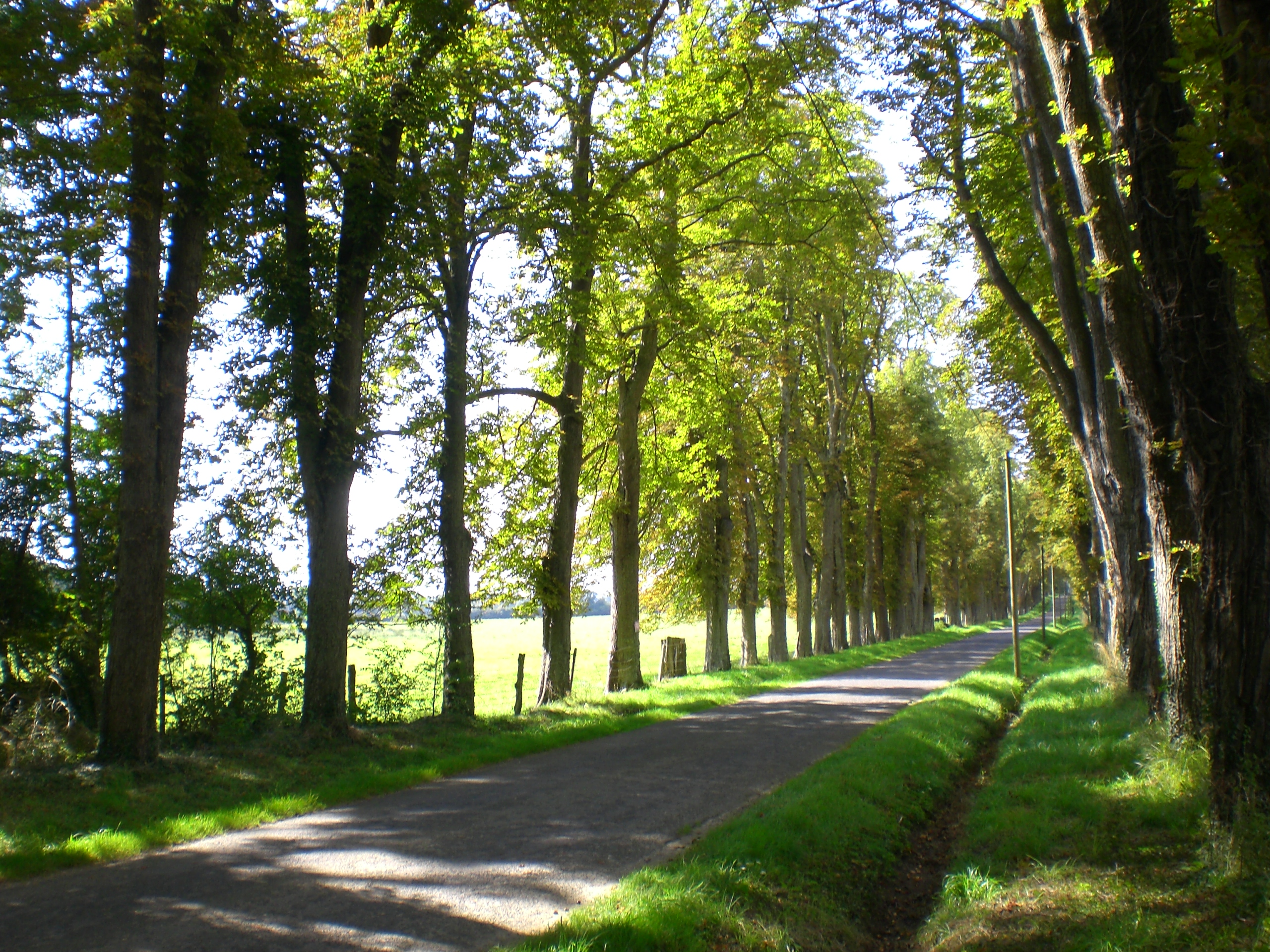
In landscaping, an avenue (from the French), alameda (from the Portuguese and Spanish), or allée (from the French), is traditionally a straight path or road with a line of trees or large shrubs running along each side, which is used, as its Latin source ''venire'' ("to come") indicates, to emphasize the "coming to," or ''arrival'' at a landscape or architectural feature. In most cases, the trees planted in an avenue will be all of the same species or cultivar, so as to give uniform appearance along the full length of the avenue. The French term ''allée'' is used for avenues planted in parks and landscape gardens, as well as boulevards such as the ''Grande Allée'' in Quebec City, Canada, and '' Karl-Marx-Allee'' in Berlin. History The avenue is one of the oldest ideas in the history of gardens. An Avenue of Sphinxes still leads to the tomb of the pharaoh Hatshepsut. Avenues similarly defined by guardian stone lions lead to the Ming tombs in China. British archaeologists ... [...More Info...] [...Related Items...] OR: [Wikipedia] [Google] [Baidu] |
Monivong Boulevard
Monivong Boulevard ( km, មហាវិថីព្រះមុនីវង្ស) is a central boulevard and thoroughfare of Phnom Penh, the capital of Cambodia. It was named after King Monivong of Cambodia. Most streets in Phnom Penh have numbers rather than names and Monivong Boulevard is also known as Street 93. It crosses Sihanouk Boulevard near the centre of the city. Route Monivong Boulevard crosses the city from north to south. The other main north south thoroughfare in the center of town is Norodom Boulevard. For most of its length, Monivong Boulevard runs parallel to Norodom Boulevard at a distance of 800 metres. However, the two major boulevards eventually join at the traffic circle near the Monivong Bridge over the Bassac River in the southern section of the city.Forbes, Andrew (2006). ''Insight Compact Guide: Cambodia'', pp. 28. APA Publications and GeoCenter International Limited in association with ''The Discovery Channel'' . The Phnom Penh Hotel and Phnom ... [...More Info...] [...Related Items...] OR: [Wikipedia] [Google] [Baidu] |
Promenade
An esplanade or promenade is a long, open, level area, usually next to a river or large body of water, where people may walk. The historical definition of ''esplanade'' was a large, open, level area outside fortress or city walls to provide clear fields of fire for the fortress's guns. In modern usage, the space allows the area to be paved as a pedestrian walk; esplanades are often on sea fronts and allow walking whatever the state of the tide, without having to walk on the beach. History In the 19th century, the razing of city fortifications and the relocation of port facilities made it possible in many cities to create promenade paths on the former fortresses and ramparts. The parts of the former fortifications, such as hills, viewpoints, ditches, waterways and lakes have now been included in these promenades, making them popular excursion destinations as well as the location of cultural institutions. The rapid development of artificial street lighting in the 19th century al ... [...More Info...] [...Related Items...] OR: [Wikipedia] [Google] [Baidu] |
Phnom Penh
Phnom Penh (; km, ភ្នំពេញ, ) is the capital and most populous city of Cambodia. It has been the national capital since the French protectorate of Cambodia and has grown to become the nation's primate city and its economic, industrial, and cultural centre. Phnom Penh succeeded Angkor Thom as the capital of the Khmer nation but was abandoned several times before being reestablished in 1865 by King Norodom. The city formerly functioned as a processing center, with textiles, pharmaceuticals, machine manufacturing, and rice milling. Its chief assets, however, were cultural. Institutions of higher learning included the Royal University of Phnom Penh (established in 1960 as Royal Khmer University), with schools of engineering, fine arts, technology, and agricultural sciences, the latter at Chamkar Daung, a suburb. Also located in Phnom Penh were the Royal University of Agronomic Sciences and the Agricultural School of Prek Leap. The city was nicknamed the "Pearl of As ... [...More Info...] [...Related Items...] OR: [Wikipedia] [Google] [Baidu] |
Mannerheimintie Helsinki In The Night
Mannerheimintie ( sv, Mannerheimvägen), named after the Finnish military leader and statesman Carl Gustaf Emil Mannerheim, is the main street and boulevard of Helsinki, Finland. It was originally named Heikinkatu ( sv, Henriksgatan), after Robert Henrik Rehbinder, but was renamed after the Winter War. The change of name was also suitable due to Mannerheim having paraded in along that road during the Finnish Civil War (1918), after German forces allied with Mannerheim's Finnish forces had retaken the city. That event is also portrayed in the landmark statue of Mannerheim sitting horseback. The statue is located along the Mannerheimintie just outside the modern arts museum Kiasma. The street starts at Erottaja in the city centre, near the Swedish Theatre and continues in a northernly direction past the Stockmann department store. It then continues as a main thoroughfare past the districts of Kamppi, Töölö, Meilahti, Laakso and Ruskeasuo, until it finally merges into a busy ... [...More Info...] [...Related Items...] OR: [Wikipedia] [Google] [Baidu] |
Basaveshwaranagara
Basaveshwaranagara is a largely residential neighbourhood in the west of Bengaluru, Karnataka, India. It is located to the west of Rajajinagara and is sandwiched between the localities of Mahalakshmi Layout to the north and Vijayanagara to the south, spread across multiple sub-localities, three assembly constituencies and seven Bruhat Bengaluru Mahanagara Palike (BBMP) wards. The area of Basaveshwaranagara is often considered ''West of Chord Road'' as it lies to the west of Chord Road, an arterial road in the western part of Bengaluru. Etymology Basaveshwaranagara is named after Basavanna (also known as Basaveshwara), a social reformer whose followers comprise the Lingayat community. History Basaveshwaranagara was formed as an extension by the City Improvement Trust Board (currently the Bangalore Development Authority) in stages between the 1970s and early 1980s. At that time (even now unofficially), the area was known as ''West of Chord Road'' (WCR), as it lay to the west of t ... [...More Info...] [...Related Items...] OR: [Wikipedia] [Google] [Baidu] |
Mahalakshmi Layout
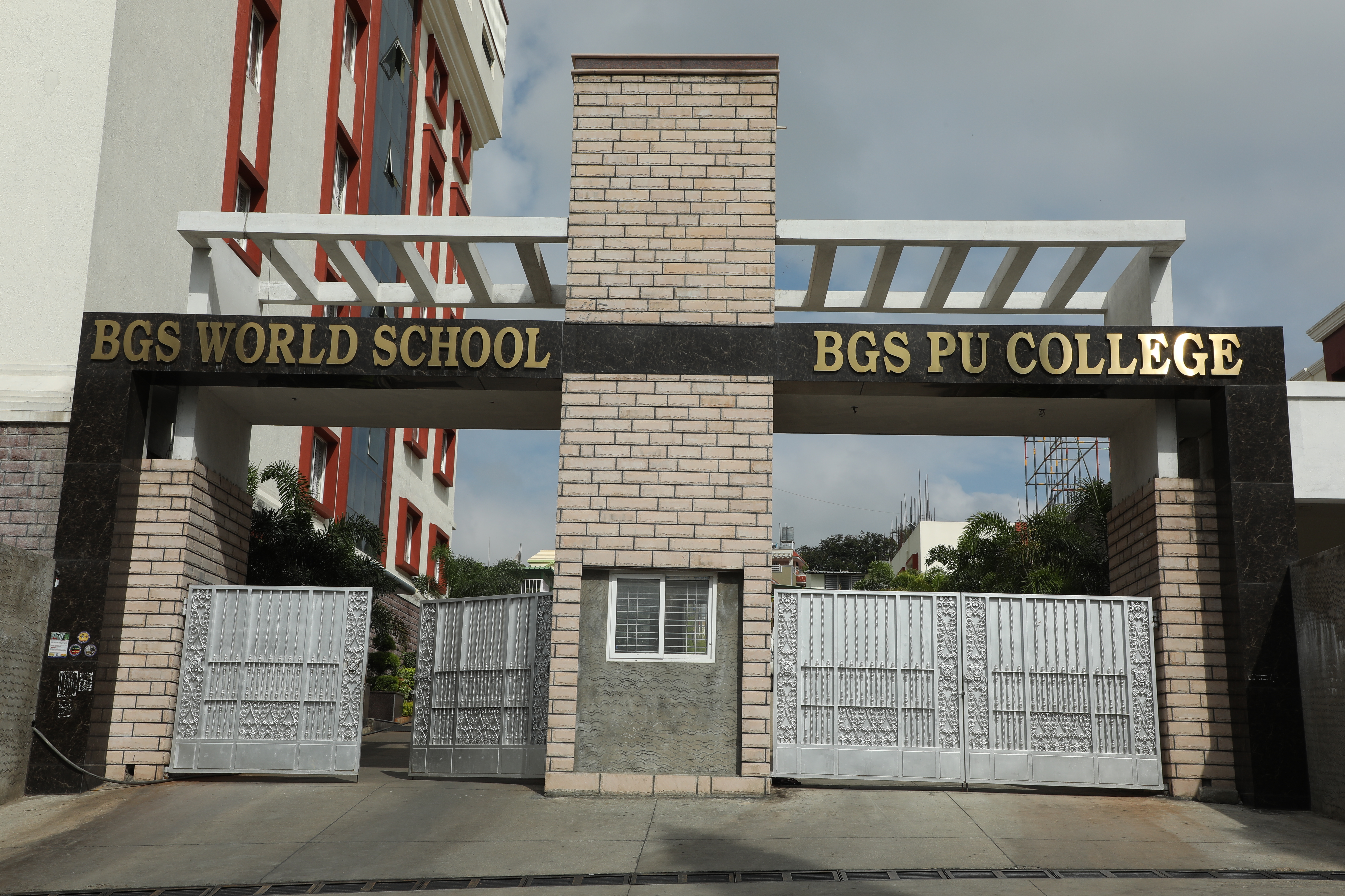
Mahalakshmi Layout or Mahalakshmipura is a neighborhood in northwest Bengaluru, India. It is near Rajajinagara, Basaveshwaranagara and Yeshwanthpura. Global Tech was the distributor for Chotta Bheem merchandise for South India, Together with Nandini Layout, Kurubarahalli and Nagapura, it is one of the biggest residential areas in Bengaluru Bangalore (), officially Bengaluru (), is the capital and largest city of the Indian state of Karnataka. It has a population of more than and a metropolitan population of around , making it the third most populous city and fifth most .... Educational institutions Mahalakshmin layout has a considerable number of educational institutions, both at the primary/secondary education and higher education level. The area consists of renowned colleges and colleges. * BGS World School * BGS Pre-university College * BGS Institute of Management * Basaveshwara Aided High School * Max Muller Public School * St. Paul's High School Refer ... [...More Info...] [...Related Items...] OR: [Wikipedia] [Google] [Baidu] |
Rajajinagar
Rajajinagar, officially Rajajinagara is a residential neighborhood and business hub in the west of Bangalore. It is one of the zones of BBMP. It is bordered by Basaveshwaranagara, Malleshwara Malleshwara (also referred as Malleshwaram) is a northwest neighborhood and one of the zones of Bruhat Bengaluru Mahanagara Palike in Bengaluru, India. It was planned in 1889 after the great plague of 1898, developed as a suburb in 1892 and h ..., Mahalakshmipura alias West of Chord road second stage, Mahalakshmi Layout, Vijayanagara and Rajajinagara Industrial Suburb. It serves as a centre place to all in Bengaluru. Inaugurated by Maharaja's of Mysuru Jayachamaraja Wadiyar, Rajajinagara Pillar on 03/07/1949. 70th birthday to C Rajagopalachari. Named after statesman C. Rajagopalachari, a plaque in the Rajajinagara pillar indicates that 1,000 acres of land given for the locality was divided into industrial and housing areas. The former consisted of 140 acres for textiles, 220 acre ... [...More Info...] [...Related Items...] OR: [Wikipedia] [Google] [Baidu] |
Park Avenue 01
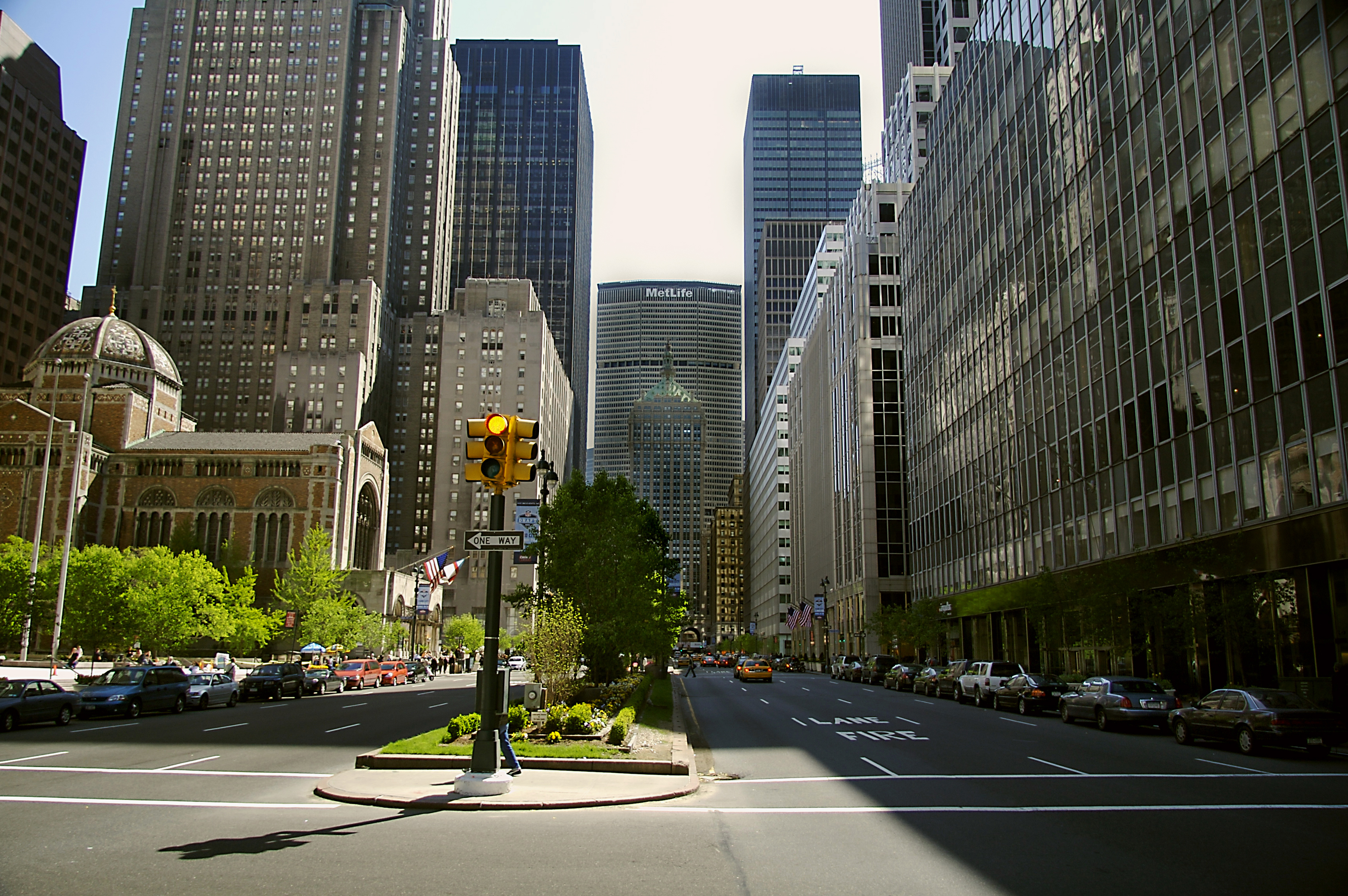
A park is an area of natural, semi-natural or planted space set aside for human enjoyment and recreation or for the protection of wildlife or natural habitats. Urban parks are urban green space, green spaces set aside for recreation inside towns and cities. National parks and country parks are green spaces used for recreation in the countryside. State parks and provincial parks are administered by sub-national government states and agencies. Parks may consist of grassy areas, rocks, soil and trees, but may also contain buildings and other artifacts such as monuments, fountains or playground structures. Many parks have fields for playing sports such as baseball and football, and paved areas for games such as basketball. Many parks have trails for walking, biking and other activities. Some parks are built adjacent to bodies of water or watercourses and may comprise a beach or boat dock area. Urban parks often have benches for sitting and may contain picnic tables and barbecue gr ... [...More Info...] [...Related Items...] OR: [Wikipedia] [Google] [Baidu] |
Vijayanagar, Bangalore
Vijayanagar, officially Vijayanagara is a locality in west Bangalore, India. It derives its name from the Vijayanagara empire that flourished in South India during the 15th and 16th centuries. It is bound by Mysore Road and Magadi Road, with Chord Road cutting through. It is the northernmost area in South Bangalore. Vijay nagar TTMC is centre to Majestic as well as KSR railway station. Location Vijayanagar is in close proximity to R.V. College of Engineering, P.E.S. Institute of Technology, M. S. Ramaiah Institute of Technology, the Bangalore University, the National Law School of India University, Indian Institute of Fashion Technology and Dr. Ambedkar Institute of Technology. It houses a large Public Library, which is one of the largest in Karnataka. It also boasts of a unique Karnataka Haridasa Scientific Research Centre housed in the spacious Vijaya Ranga building. Many buses ply to different parts of Bangalore. Bus route series 61 is a direct bus from Vijayanagar t ... [...More Info...] [...Related Items...] OR: [Wikipedia] [Google] [Baidu] |


.jpg)
.jpg)
